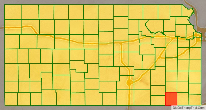
Montgomery County (county code MG) is a county located in Southeast Kansas. As of the 2020 census, the county population was 31,486. Its county seat is Independence, and its most populous city is Coffeyville.
| Name: | Montgomery County |
|---|---|
| FIPS code: | 20-125 |
| State: | Kansas |
| Founded: | February 26, 1867 |
| Named for: | Richard Montgomery |
| Seat: | Independence |
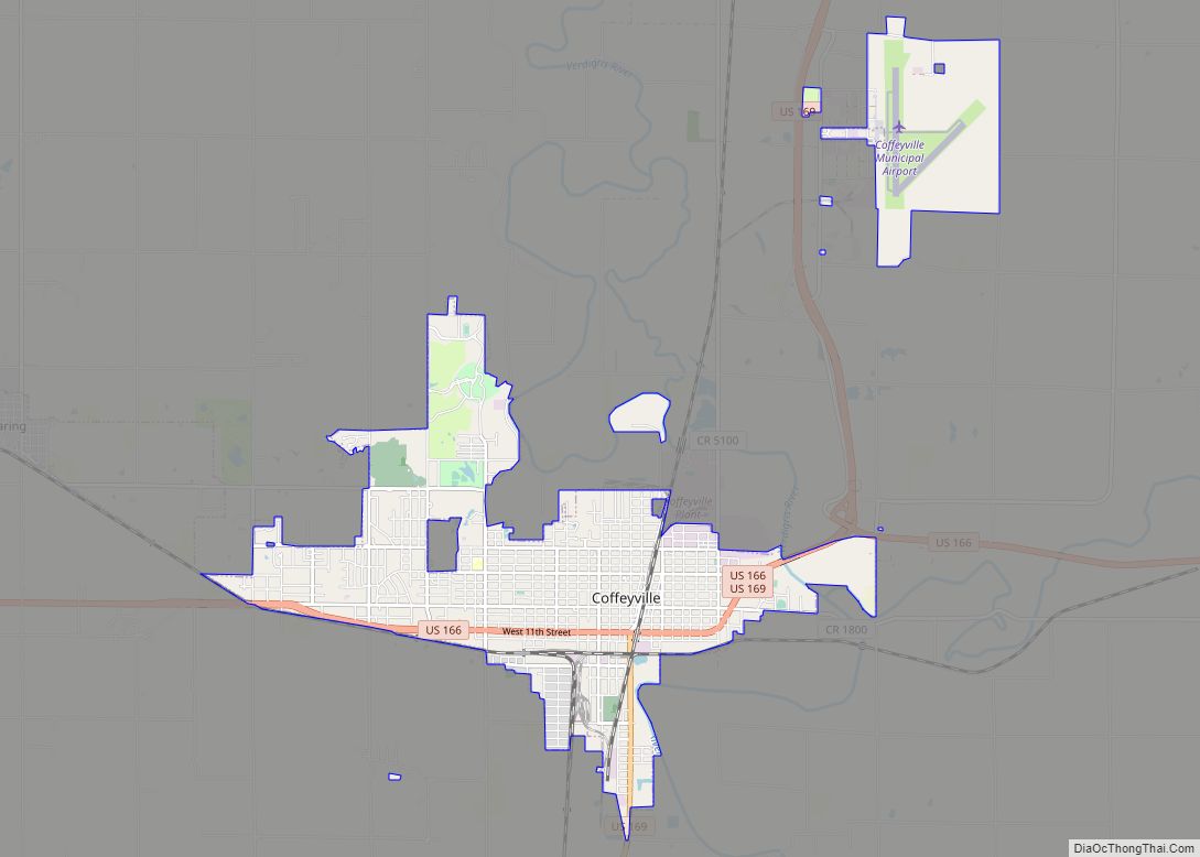
| Largest city: | Coffeyville |
| Total Area: | 651 sq mi (1,690 km²) |
| Land Area: | 644 sq mi (1,670 km²) |
| Total Population: | 31,486 |
| Population Density: | 48.9/sq mi (18.9/km²) |
| Time zone: | UTC−6 (Central) |
| Summer Time Zone (DST): | UTC−5 (CDT) |
| Website: | mgcountyks.org |
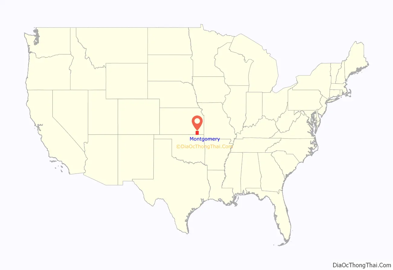
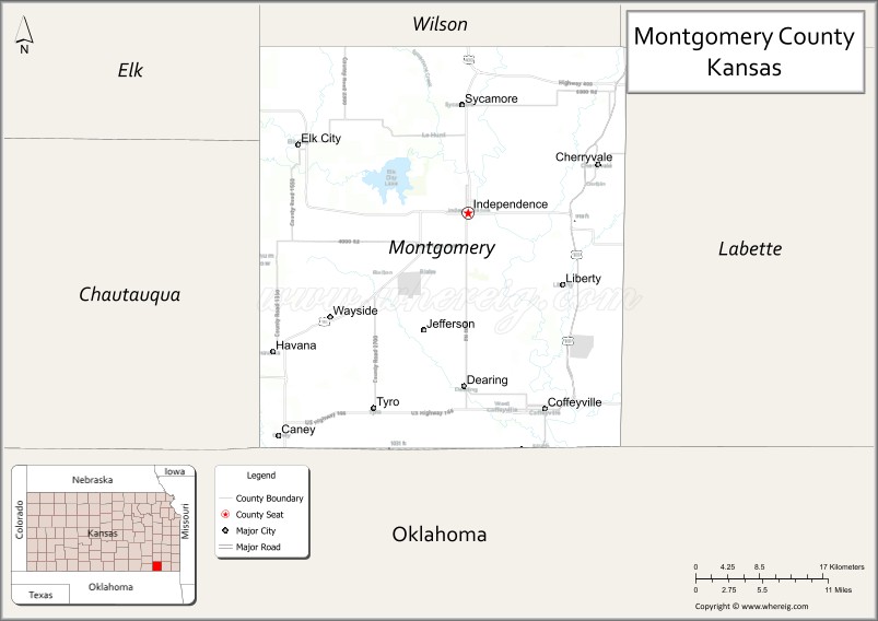
Montgomery County location map. Where is Montgomery County?
History
Early history
For many millennia, the Great Plains of North America was inhabited by nomadic Native Americans. From the 16th century to 18th century, the Kingdom of France claimed ownership of large parts of North America. In 1762, after the French and Indian War, France secretly ceded New France to Spain, per the Treaty of Fontainebleau.
19th century
In 1802, Spain returned most of the land to France, but keeping title to about 7,500 square miles. In 1803, most of the land for modern day Kansas was acquired by the United States from France as part of the 828,000 square mile Louisiana Purchase for 2.83 cents per acre.
In 1854, the Kansas Territory was organized, then in 1861 Kansas became the 34th U.S. state. Montgomery County was established on February 26, 1867. It was named in honor of Richard Montgomery, an American Revolutionary War general killed in 1775 while attempting to capture Quebec City, in Canada, after successfully capturing two forts and the city of Montreal.
When Kansas was admitted to the Union as a state in 1861, the Osage Indian reservation occupied a large tract of land near the southern border. The reservation had been established in 1825. After the Civil War ended, the Osage lands were coveted as the largest and last reserve of good land in the eastern part of the state. As early as 1866, the Osages were forced to cede tracts at the eastern and northern edges of the reservation. This treaty conceded white settlement on land in the eastern part of what is now Montgomery County.
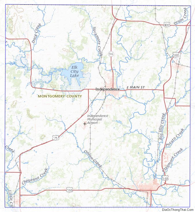
For a brief time, the Osages attempted to maintain a boundary at the Verdigris River. The Verdigris flows from north to south through the center of Montgomery County. From the west the Elk River joins the Verdigris at a confluence slightly northwest of the geographical center of the county. In 1867 Frank and Fred Bunker established a primitive cattle camp on the west side of the Verdigris south of the confluence. Like the Osages, the Bunkers thought they were beyond the boundaries of civilization.
Early in 1869, however, settlers began to cross the Verdigris River, “at first under protest of the Indians, but the immense throng of settlers soon made all protests futile.” Montgomery County was surveyed and organized in 1869; the governor appointed commissioners June 3.
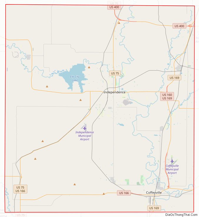
Montgomery County Road Map
Geography
According to the U.S. Census Bureau, the county has a total area of 651 square miles (1,690 km), of which 644 square miles (1,670 km) is land and 8.0 square miles (21 km) (1.2%) is water. The lowest point in the state of Kansas is located on the Verdigris River in Cherokee Township in Montgomery County (just southeast of Coffeyville), where it flows out of Kansas and into Oklahoma. Western portions of the county contain parts of the northern Cross Timbers eco-region, which separates the forested eastern portion of the United States with the Plains.
Google Maps uses Fawn Creek Township within Montgomery County as the zero-mile point of the United States. In other words, all directions to the “United States” will lead to a point in Fawn Creek.
Adjacent counties
- Wilson County (north)
- Neosho County (northeast)
- Labette County (east)
- Nowata County, Oklahoma (southeast)
- Washington County, Oklahoma (south)
- Chautauqua County (west)
- Elk County (northwest)
Bodies of water
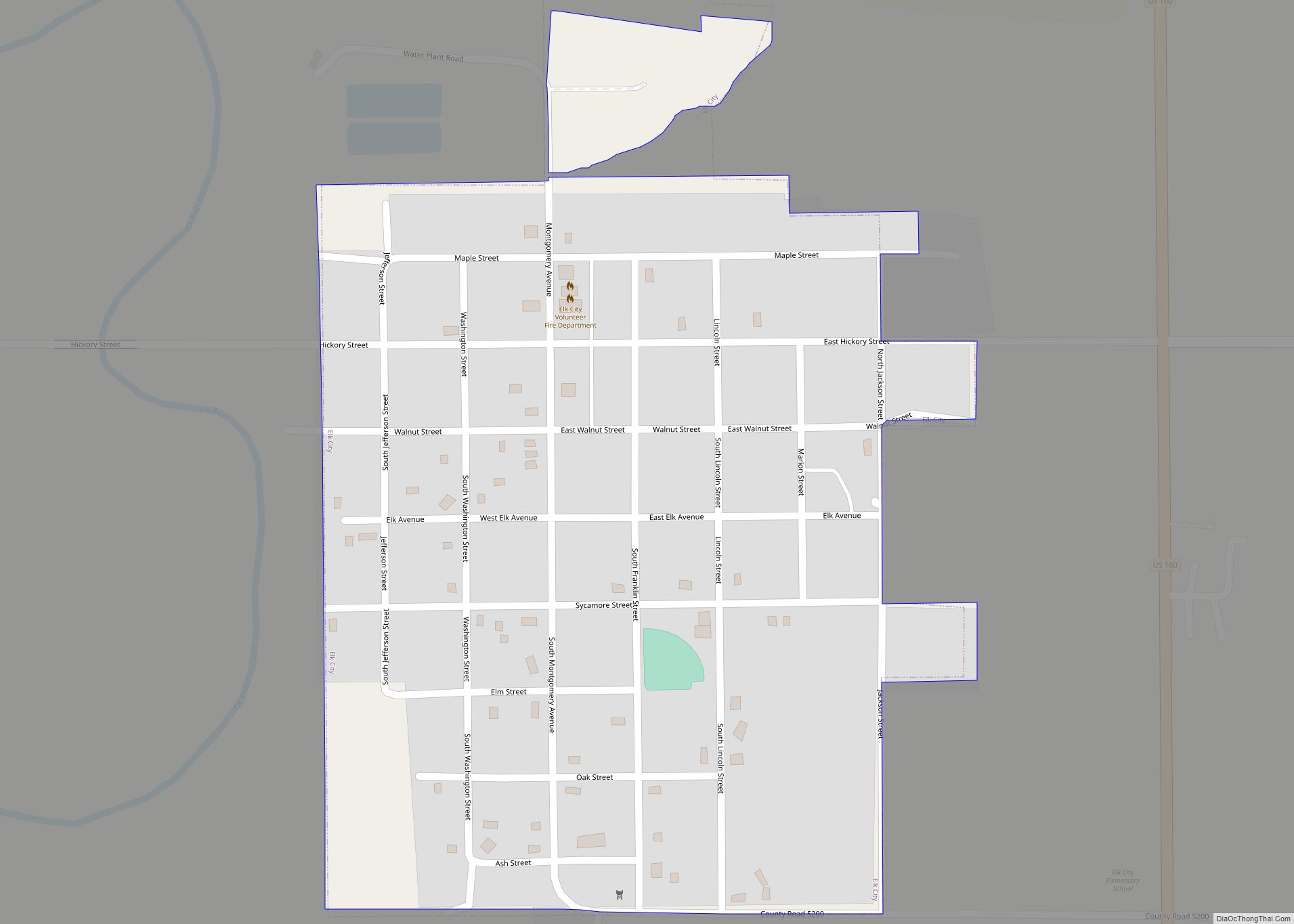
- Elk City Lake
- Elk River
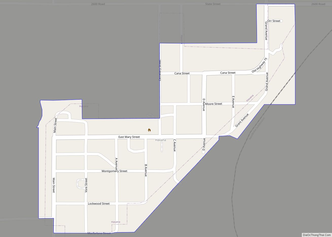
- Havana Lake
- Liberty Lakes
- State Lake
- Verdigris River
State parks
- Elk City State Park
- Montgomery County State Park
Montgomery County Topographic Map
Montgomery County Satellite Map

Montgomery County Outline Map