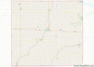
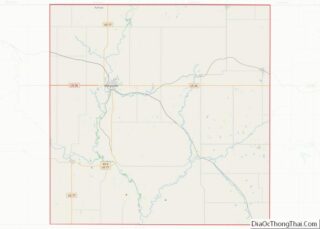
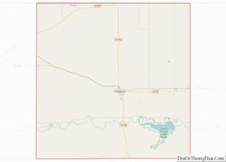
Wayne County is a county located in the U.S. state of Iowa. As of the 2020 census, the population was 6,497, making it the sixth-least populous county in Iowa. The county seat is Corydon. Wayne County overview: Name: Wayne County FIPS code: 19-185 State: Iowa Founded: 1846 Named for: Anthony Wayne Seat: Corydon Largest city: ... Read more
Map of US Counties
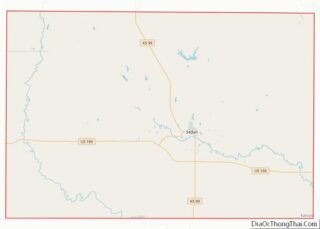
Chautauqua County (county code CQ) is a county located in Southeast Kansas, United States. As of the 2020 census, the county population was 3,379. Its county seat and most populous city is Sedan. Chautauqua County is named for Chautauqua County, New York, the birthplace of Edward Jaquins, a Kansas politician who was instrumental in getting ... Read more
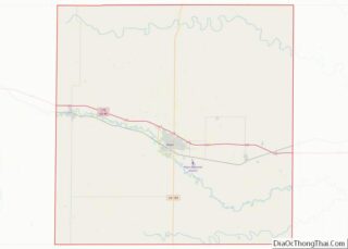
Ellis County (county code EL) is a county located in the U.S. state of Kansas. As of the 2020 census, the county population was 28,934. Its county seat and most populous city is Hays. Ellis County is the official German Capital of Kansas. German immigrants settled in Hays, Ellis, Victoria, and nearby villages in the ... Read more
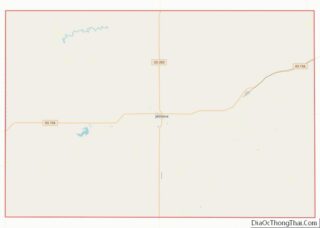
Hodgeman County (county code HG) is a county located in the U.S. state of Kansas. As of the 2020 census, the county population was 1,723. Its county seat and most populous city is Jetmore. Hodgeman County overview: Name: Hodgeman County FIPS code: 20-083 State: Kansas Founded: February 26, 1867 Named for: Amos Hodgman Seat: Jetmore ... Read more
Marshall County (standard abbreviation: MS) is a county located in the U.S. state of Kansas. As of the 2020 census, the county population was 10,038. The largest city and county seat is Marysville. Marshall County overview: Name: Marshall County FIPS code: 20-117 State: Kansas Founded: August 25, 1855 Named for: Frank J. Marshall Seat: Marysville ... Read more
Phillips County (standard abbreviation: PL) is a county located in the U.S. state of Kansas. As of the 2020 census, the county population was 4,981. The largest city and county seat is Phillipsburg. Phillips County overview: Name: Phillips County FIPS code: 20-147 State: Kansas Founded: February 26, 1867 Named for: William A. Phillips Seat: Phillipsburg ... Read more
Sheridan County (standard abbreviation: SD) is a county located in the U.S. state of Kansas. As of the 2020 census, the county population was 2,447. Its county seat is Hoxie. The county was named in honor of Phillip H. Sheridan, a general of the American Civil War era. Sheridan County overview: Name: Sheridan County FIPS ... Read more
Adair County is a county located in the U.S. state of Kentucky. As of the 2020 census, the population was 18,903. Its county seat and only municipality is Columbia. The county was founded in 1801 and named for John Adair, then Speaker of the House in Kentucky and later Governor of Kentucky (1820 – 1824). ... Read more
Caldwell County is a county located in the U.S. state of Kentucky. As of the 2020 census, the population was 12,649. Its county seat is Princeton. The county was formed in 1809 from Livingston County, Kentucky and named for John Caldwell, who participated in the George Rogers Clark Indian Campaign of 1786 and was the ... Read more
Estill County overview: Name: Estill County FIPS code: 21-065 State: Kentucky Founded: 1808 Named for: James Estill Seat: Irvine Largest city: Irvine Total Area: 256 sq mi (660 km²) Land Area: 253 sq mi (660 km²) Total Population: 14,163 Population Density: 55/sq mi (21/km²) Time zone: UTC−5 (Eastern) Summer Time Zone (DST): UTC−4 (EDT) Website: www.estillky.com Estill County location map. Where is ... Read more
Harrison County is a county located in the U.S. state of Kentucky. As of the 2020 census, the population was 18,692. Its county seat is Cynthiana. The county was founded in 1793 and named for Colonel Benjamin Harrison, an advocate for Kentucky statehood, framer of the Kentucky Constitution, and Kentucky legislator. Harrison County overview: Name: ... Read more
Lee County is a county located in the U.S. state of Kentucky. As of the 2020 census, the population was 7,395. Its county seat is Beattyville. The county was formed in 1870 from parts of Breathitt, Estill, Owsley and Wolfe counties. The county was named for Robert E. Lee. The area of Kentucky where Lee ... Read more
