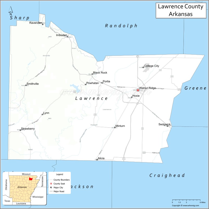
Lawrence County is a county located in the U.S. state of Arkansas. As of the 2020 census, the population was 16,216. The county seat is Walnut Ridge. Lawrence County is Arkansas’s second county, formed on January 15, 1815, and named for Captain James Lawrence who fought in the War of 1812. It is an alcohol prohibition or dry county.
| Name: | Lawrence County |
|---|---|
| FIPS code: | 05-075 |
| State: | Arkansas |
| Founded: | January 15, 1815 |
| Named for: | James Lawrence |
| Seat: | Walnut Ridge |
| Largest city: | Walnut Ridge |
| Total Area: | 592 sq mi (1,530 km²) |
| Land Area: | 588 sq mi (1,520 km²) |
| Total Population: | 16,216 |
| Population Density: | 27/sq mi (11/km²) |
| Time zone: | UTC−6 (Central) |
| Summer Time Zone (DST): | UTC−5 (CDT) |
| Website: | www.lawrencecountyarkansas.com |
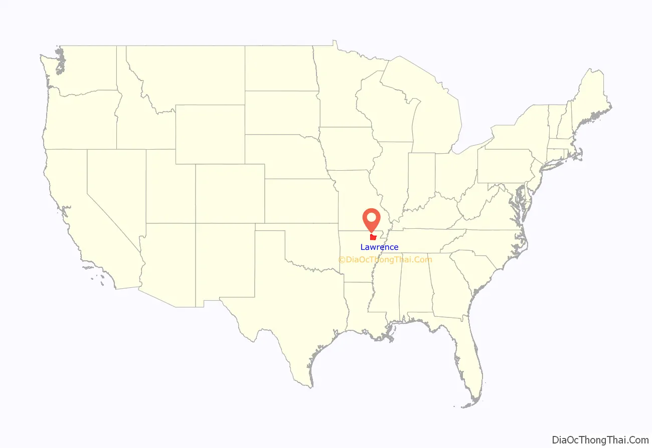
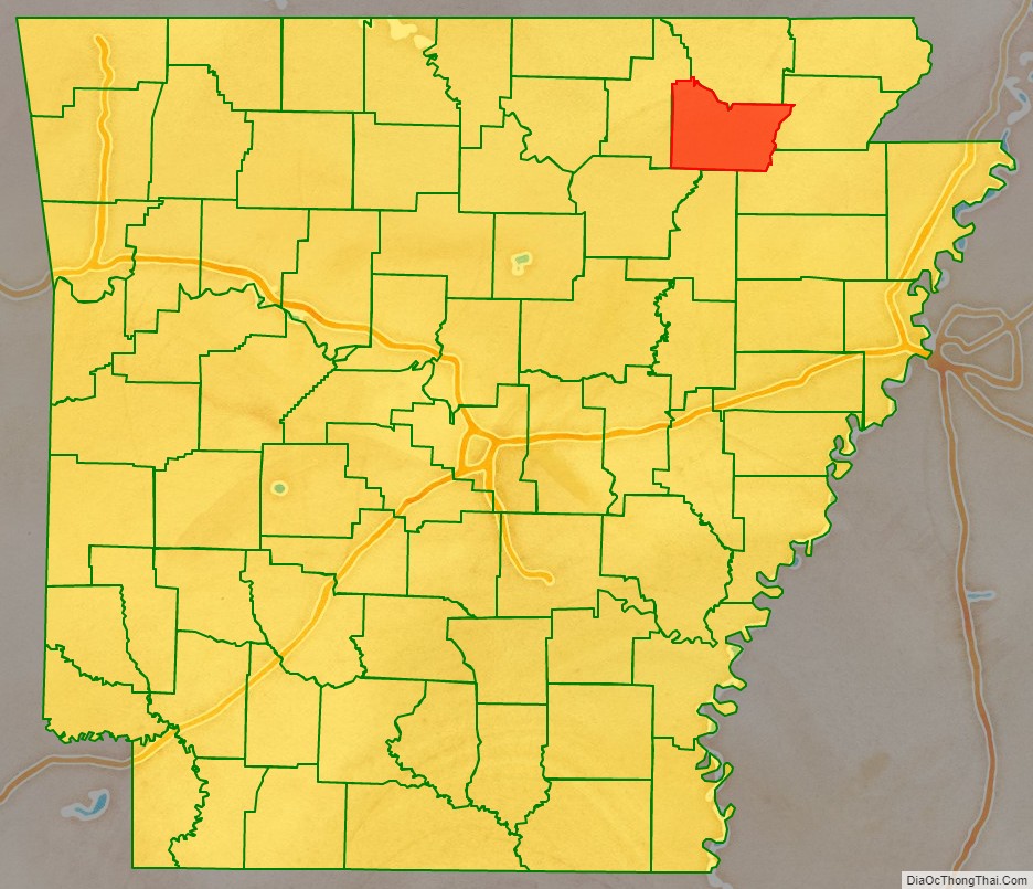
Lawrence County location map. Where is Lawrence County?
History
Following the Louisiana Purchase, the area currently encompassing Lawrence County was contained within the Louisiana Territory from 1805 to 1812, and the Missouri Territory from 1812 until the creation of Arkansas Territory in 1819. While the southern portion of Missouri Territory began to be settled, Lawrence County was created on January 15, 1815 from New Madrid County and Arkansas County. The large area spanned from Cape Girardeau County to the Arkansas River.
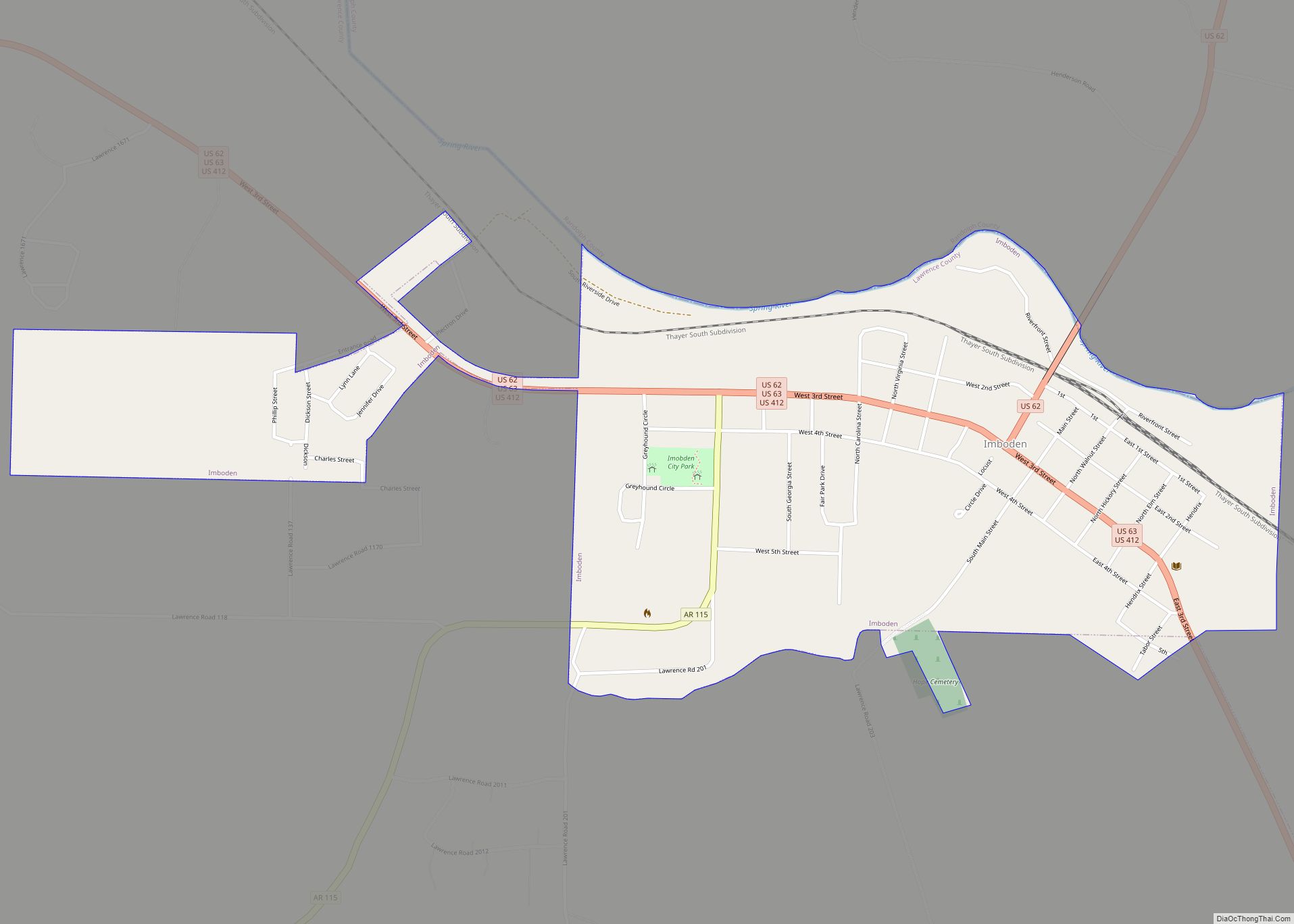
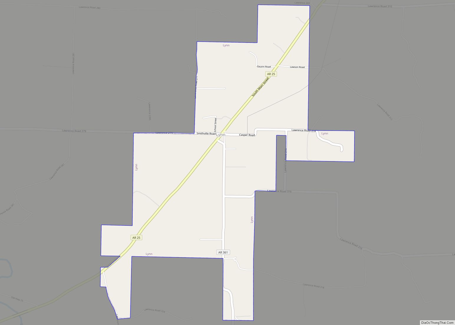
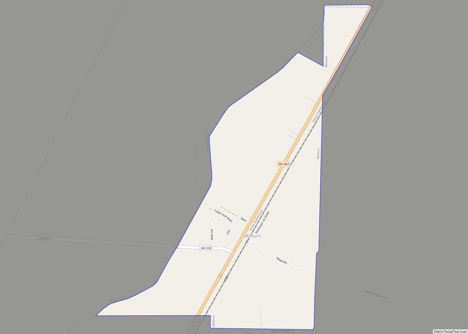
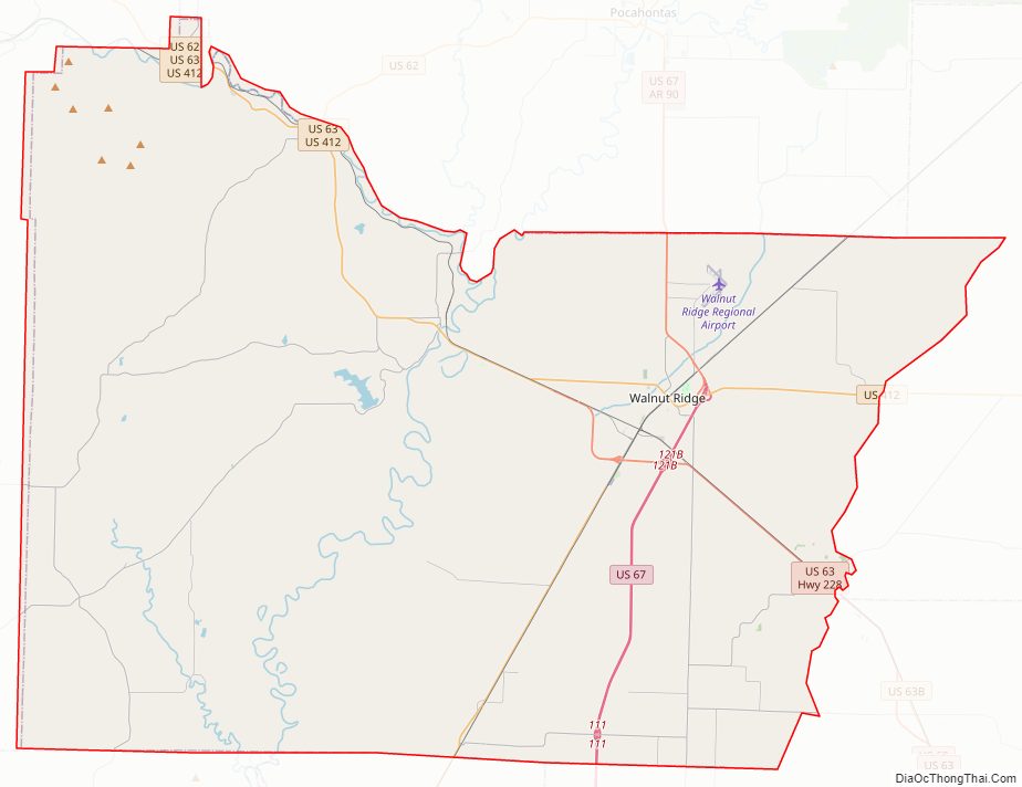
Lawrence County Road Map
Geography
According to the U.S. Census Bureau, the county has a total area of 592 square miles (1,530 km), of which 588 square miles (1,520 km) is land and 4.7 square miles (12 km) (0.8%) is water.
Adjacent counties
- Randolph County (north)
- Greene County (east)
- Craighead County (southeast)
- Jackson County (south)
- Independence County (southwest)
- Sharp County (west)
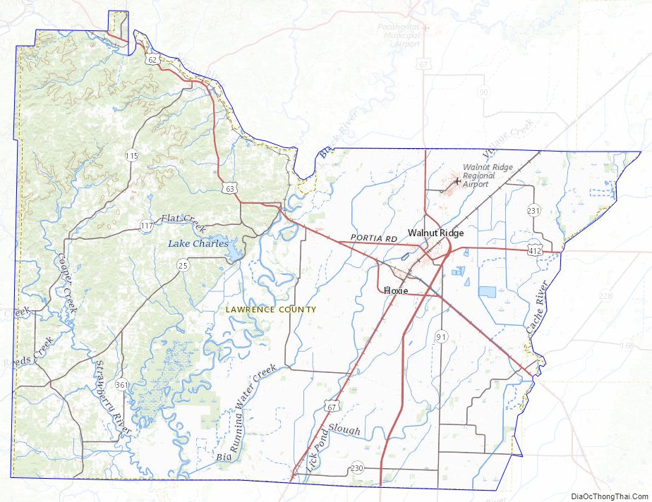
Lawrence County Topographic Map
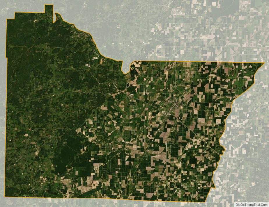
Lawrence County Satellite Map
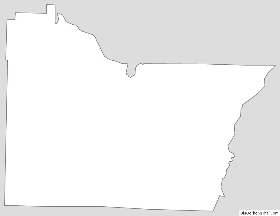
Lawrence County Outline Map