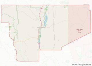
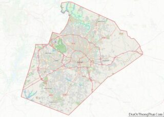
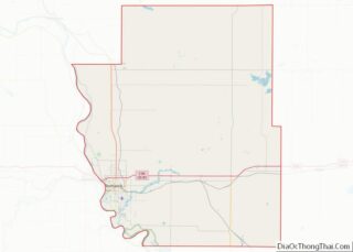
Map of Jackson County, Georgia
Jackson County is a county located in the northeastern part of the U.S. state of Georgia. As of the 2020 census, the population was 75,907. The county seat is Jefferson. Jackson County comprises the Jefferson, GA Micropolitan Statistical Area, which is included in the Atlanta-Athens-Clarke County-Sandy Springs, GA Combined Statistical Area. Jackson County overview: Name: ... Read more
Map of Jackson County, Georgia
Map of Macon County, Georgia
Macon County is a county located in the west central portion of the U.S. state of Georgia. As of the 2020 census, the population was 12,082. The county seat is Oglethorpe. The Macon County Courthouse is located in Oglethorpe. Macon County overview: Name: Macon County FIPS code: 13-193 State: Georgia Founded: December 14, 1837 Named for: ... Read more
Map of Macon County, Georgia
Map of Paulding County, Georgia
Paulding County is a county located in the northwestern part of the U.S. state of Georgia. Part of the Atlanta metropolitan area, it had an estimated population of 168,661 in 2020. The county seat is Dallas. Paulding County overview: Name: Paulding County FIPS code: 13-223 State: Georgia Founded: 1832 Named for: John Paulding Seat: Dallas ... Read more
Map of Paulding County, Georgia
Map of Spalding County, Georgia
Spalding County is a county located in the west central portion of the U.S. state of Georgia. As of the 2020 census, the population was 67,306. The county seat is Griffin. The county was created December 20, 1851 and named for former United States representative and senator Thomas Spalding. Spalding County is included in the ... Read more
Map of Spalding County, Georgia
Map of Turner County, Georgia
Turner County is a county located in the south central portion of the U.S. state of Georgia. As of the 2020 census, the population was 9,006. The county seat is Ashburn. The county was created on August 18, 1905, and named for Henry Gray Turner, U.S. representative and Georgia state Supreme Court justice. Turner County ... Read more
Map of Turner County, Georgia
Map of Wilkinson County, Georgia
Wilkinson County is a county located in the central portion of the U.S. state of Georgia. As of the 2020 census, the population was 8,877. The county seat is Irwinton. The county was created on May 11, 1803, and named for General James Wilkinson (1757–1825). Wilkinson County overview: Name: Wilkinson County FIPS code: 13-319 State: ... Read more
Map of Wilkinson County, Georgia
Map of Bonneville County, Idaho
Bonneville County is a county located in the U.S. state of Idaho. As of the 2020 census, the county had a population of 123,964, making it the fourth-most populous county in Idaho and the most populous in eastern Idaho. Its county seat and largest city is Idaho Falls. Bonneville County was established in 1911 and ... Read more
Map of Bonneville County, Idaho
Map of Jefferson County, Idaho
Jefferson County is a county located in the U.S. state of Idaho. As of the 2020 Census, the county’s population was 30,891. In the 2010 census, the population was 26,140. The county seat and largest city is Rigby. The county was established in 1913 and named after Thomas Jefferson, the third U.S. President. Jefferson County ... Read more
Map of Jefferson County, Idaho
Map of Twin Falls County, Idaho
Twin Falls County is a county in the south central part of the U.S. state of Idaho. As of the 2020 Census, the county had a population of 90,046, making it the fifth-most populous county in Idaho. The county seat and largest city is Twin Falls. Twin Falls County is part of the Twin Falls, ... Read more
Map of Twin Falls County, Idaho
Map of Clinton County, Illinois
Clinton County is located in the U.S. state of Illinois. At the 2020 census, the population was 37,762. Its county seat is Carlyle. In 1960, the United States Census Bureau placed the mean center of U.S. population in Clinton County. Clinton County is part of the St. Louis, MO-IL Metropolitan Statistical Area. Clinton County overview: ... Read more
Map of Clinton County, Illinois
Map of Gallatin County, Illinois
Gallatin County is a county located in the U.S. state of Illinois. According to the 2020 census, it has a population of 4,946, making it the third-least populous county in Illinois. Its county seat is Shawneetown. It is located in the southern portion of Illinois known locally as Little Egypt. Located at the mouth of ... Read more
Map of Gallatin County, Illinois
Map of Kankakee County, Illinois
Kankakee County is a county located in the U.S. state of Illinois. According to the 2010 census, it has a population of 113,449. Its county seat is Kankakee. Kankakee County comprises the Kankakee, IL Metropolitan Statistical Area. Kankakee County overview: Name: Kankakee County FIPS code: 17-091 State: Illinois Founded: February 11, 1853 Named for: Kankakee ... Read more
Map of Kankakee County, Illinois