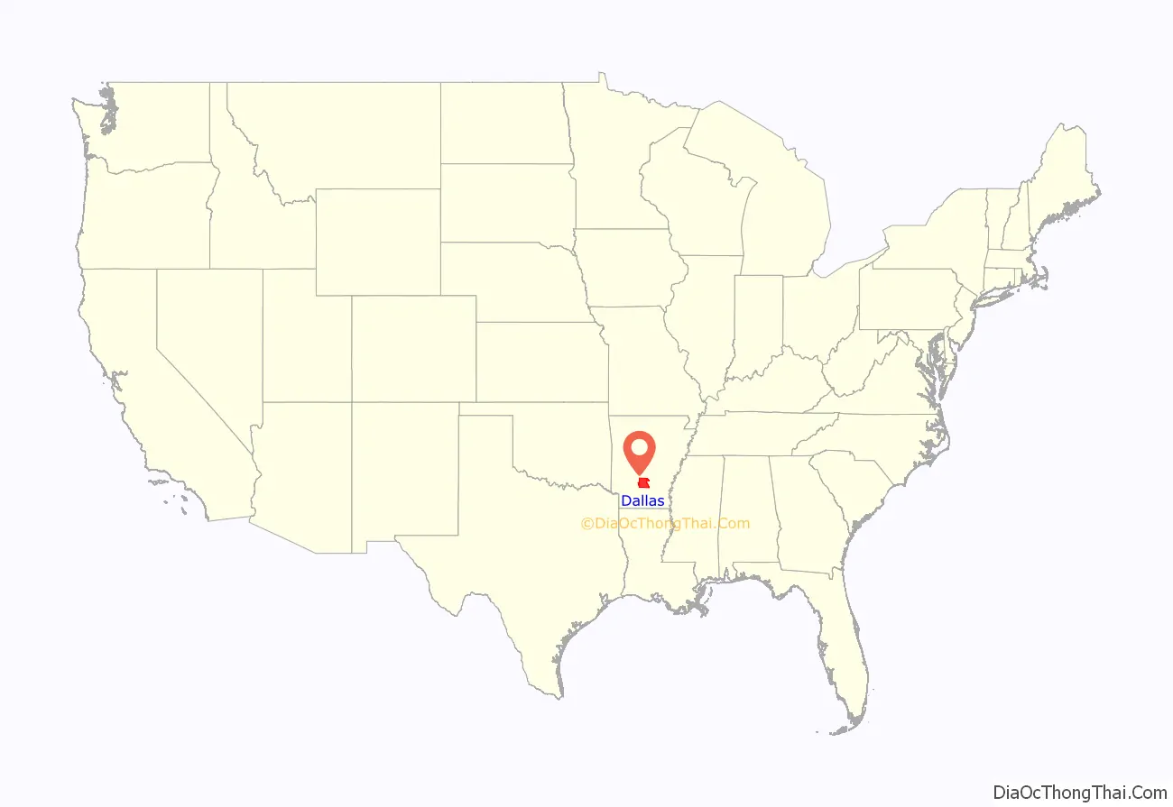
Dallas County is a county located in the U.S. state of Arkansas. As of the 2020 census, the population was 6,482, making it the fourth-least populous county in Arkansas. The county seat is Fordyce. Dallas County is Arkansas’s 49th county, formed on January 1, 1845; it was named for George M. Dallas, 11th Vice President of the United States.
| Name: | Dallas County |
|---|---|
| FIPS code: | 05-039 |
| State: | Arkansas |
| Founded: | January 1, 1845 |
| Named for: | George M. Dallas |
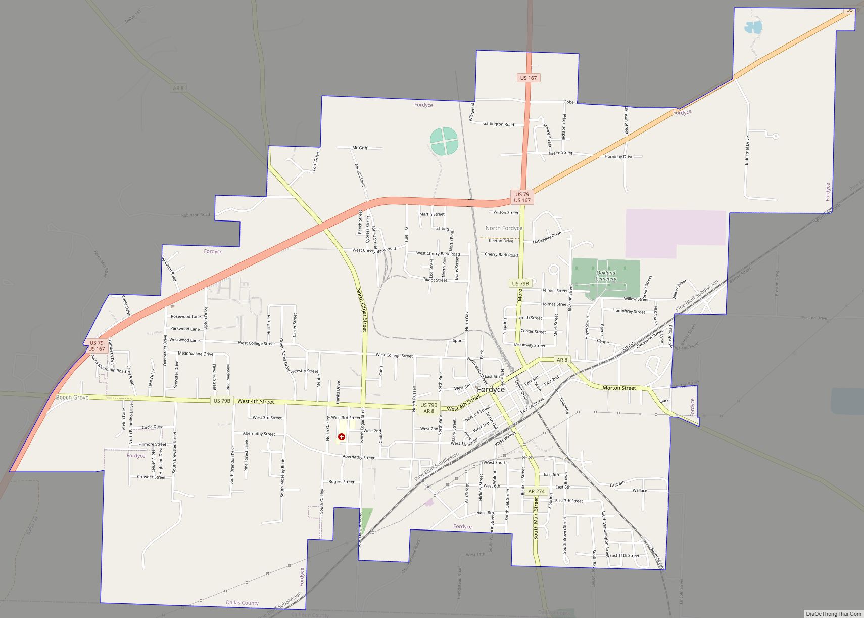
| Seat: | Fordyce |
| Largest city: | Fordyce |
| Total Area: | 668 sq mi (1,730 km²) |
| Land Area: | 667 sq mi (1,730 km²) |
| Total Population: | 6,482 |
| Population Density: | 9.7/sq mi (3.7/km²) |
| Time zone: | UTC−6 (Central) |
| Summer Time Zone (DST): | UTC−5 (CDT) |
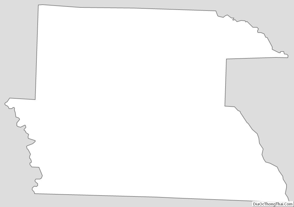
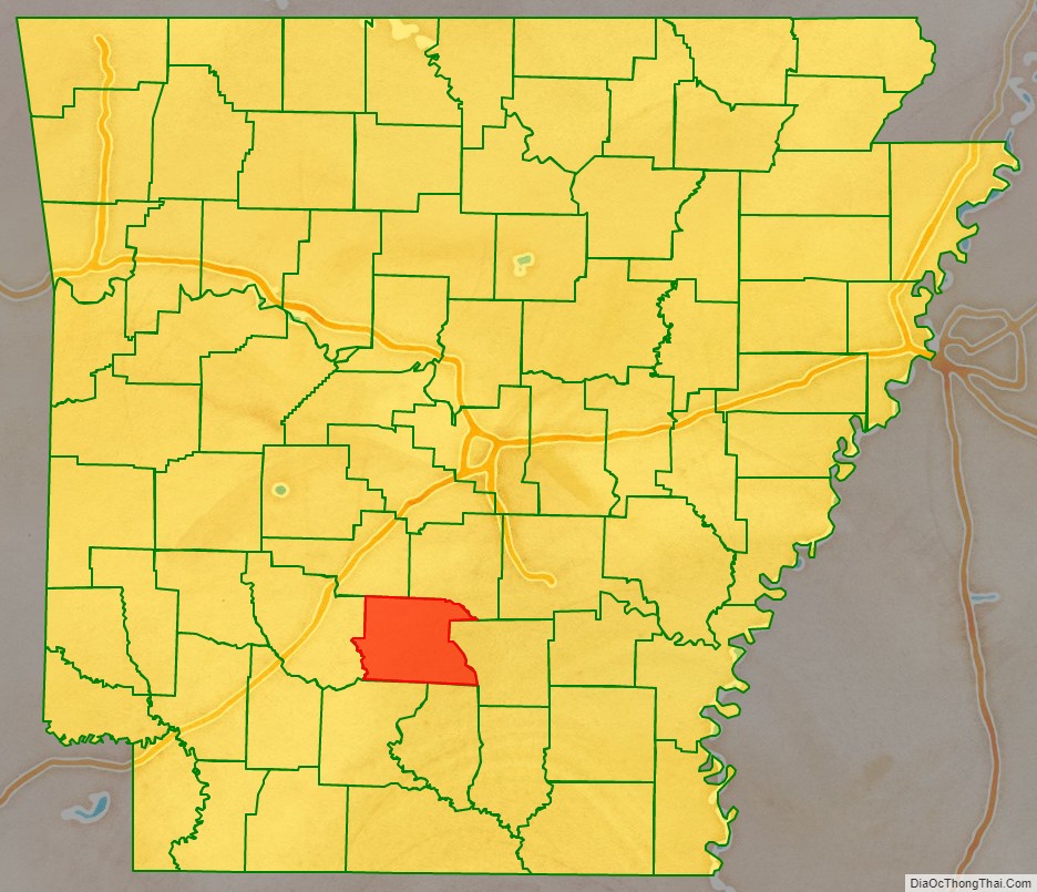
Dallas County location map. Where is Dallas County?
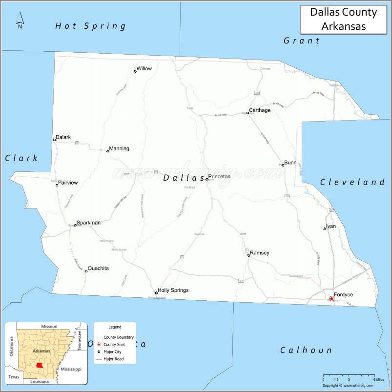
Dallas County Road Map

Geography
According to the U.S. Census Bureau, the county has a total area of 668 square miles (1,730 km), of which 667 square miles (1,730 km) is land and 0.7 square miles (1.8 km) (0.1%) is water.
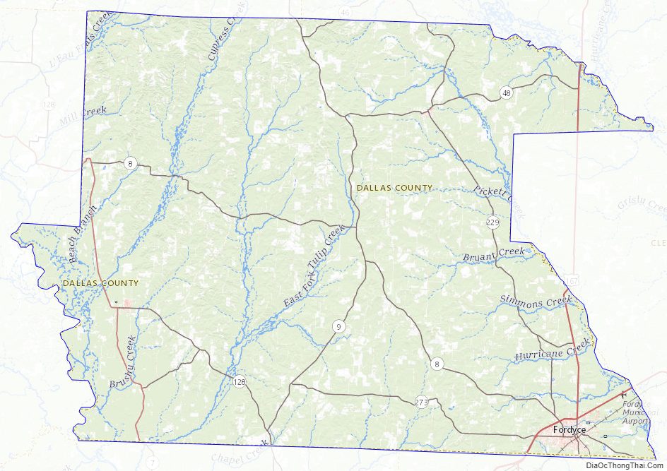
Major highways
- U.S. Highway 79
- U.S. Highway 167
- Highway 7
- Highway 8
- Highway 9
- Highway 46
- Highway 48
Adjacent counties
- Grant County (northeast)
- Cleveland County (east)
- Calhoun County (southeast)
- Ouachita County (southwest)
- Clark County (west)
- Hot Spring County (northwest)
Dallas County Topographic Map
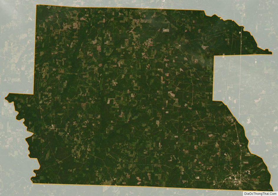
Dallas County Satellite Map
Dallas County Outline Map