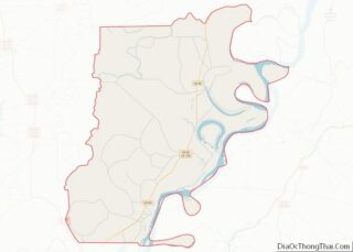
Tensas Parish (French: Paroisse des Tensas) is a parish located in the northeastern section of the State of Louisiana; its eastern border is the Mississippi River. As of the 2020 census, the population was 4,147. It is the least populated parish in Louisiana. The parish seat is St. Joseph. The name Tensas is derived from ... Read more
Map of US Counties
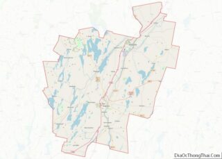
Kennebec County is a county located in the South-central portion of the U.S. state of Maine. At the 2020 census, the population was 123,642. Its county seat is Augusta, the state capital. The county was established on February 20, 1799, from portions of Cumberland and Lincoln Counties. The name Kennebec comes from the Eastern Abenaki ... Read more
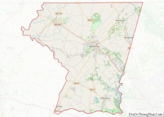
Carroll County is located in the U.S. state of Maryland. As of the 2020 census, the population was 172,891. Its county seat is Westminster. Carroll County is included in the Baltimore-Columbia-Towson, MD Metropolitan Statistical Area, which is also included in the Washington-Baltimore-Arlington, DC-MD-VA-WV-PA Combined Statistical Area. While predominantly rural, the county has become increasingly suburban ... Read more
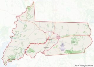
Wicomico County (/waɪˈkɒmɪkoʊ/ wy-KOM-ik-oh) is located in the southeastern part of the U.S. state of Maryland, on the Delmarva Peninsula. As of the 2020 census, the population was 103,588. The county seat is Salisbury. The county was named for the Wicomico River, which in turn derives its name from the Algonquian language words wicko mekee, ... Read more
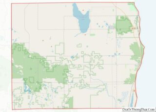
Alcona County (/ælˈkoʊnə/ al-KOH-nə) is a county of the U.S. state of Michigan. As of the 2020 Census, the population was 10,167. Its county seat is Harrisville. Alphabetically it is the first county in Michigan; as its flag states, it is the “First of 83”. Alcona County overview: Name: Alcona County FIPS code: 26-001 State: ... Read more
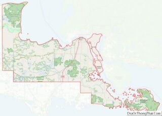
Chippewa County overview: Name: Chippewa County FIPS code: 26-033 State: Michigan Founded: December 22, 1826 Named for: Ojibwe people Seat: Sault Ste. Marie Largest city: Sault Ste. Marie Total Area: 2,698 sq mi (6,990 km²) Land Area: 1,558 sq mi (4,040 km²) Total Population: 36,785 Population Density: 25/sq mi (10/km²) Time zone: UTC−5 (Eastern) Summer Time Zone (DST): UTC−4 (EDT) Website: www.chippewacountymi.gov ... Read more
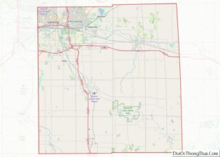
Ingham County (/ˈɪŋəm/ ING-əm) is a county located in the U.S. state of Michigan. As of the 2020 Census, the population was 284,900. The county seat is Mason. Lansing, the state capital of Michigan, is largely located within the county. (Lansing is the only state capital in the United States located in a county of ... Read more
Leelanau County (/ˈliːlənɔː/ LEE-lə-naw) is a county located in the U.S. state of Michigan. As of the 2020 Census, the population was 22,301. Since 2008, the county seat has been located within Suttons Bay Township, one mile east of the unincorporated village of Lake Leelanau. Before 2008, Leelanau County’s seat was Leland. Leelanau County is ... Read more
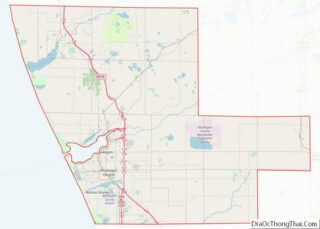
Muskegon County (/məˈskiːɡən/ məs-KEE-gən) is a county in the U.S. state of Michigan. As of 2020, the population was 175,824. The county seat is Muskegon. Muskegon County comprises the Muskegon, MI Metropolitan Statistical Area, which is part of the larger Grand Rapids–Kentwood-Muskegon, MI Combined Statistical Area. Muskegon County overview: Name: Muskegon County FIPS code: 26-121 ... Read more
Schoolcraft County (/ˈskuːlkræft/ SKOOL-kraft) is a county located in the Upper Peninsula of the U.S. state of Michigan. As of the 2020 Census, the population was 8,047, making it Michigan’s fourth-least populous county. The county seat is Manistique, which lies along the northern shore of Lake Michigan. The county is named in honor of Henry ... Read more
Carver County is a county in the U.S. state of Minnesota. The county is mostly farmland and wilderness with many unincorporated townships. As of the 2020 census, the population was 106,922. Its county seat is Chaska. Carver County is named for explorer Jonathan Carver, who in 1766–67, traveled from Boston to the Minnesota River and ... Read more
Grant County is a county in the U.S. state of Minnesota. As of the 2020 census, the population was 6,074. Its county seat is Elbow Lake. Grant County overview: Name: Grant County FIPS code: 27-051 State: Minnesota Founded: 1868 Named for: Ulysses S. Grant Seat: Elbow Lake Largest city: Elbow Lake Total Area: 575 sq mi (1,490 km²) ... Read more
