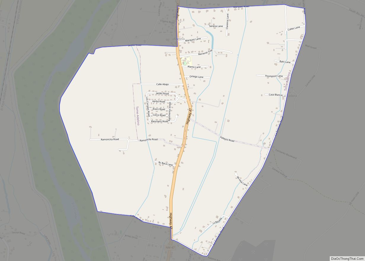
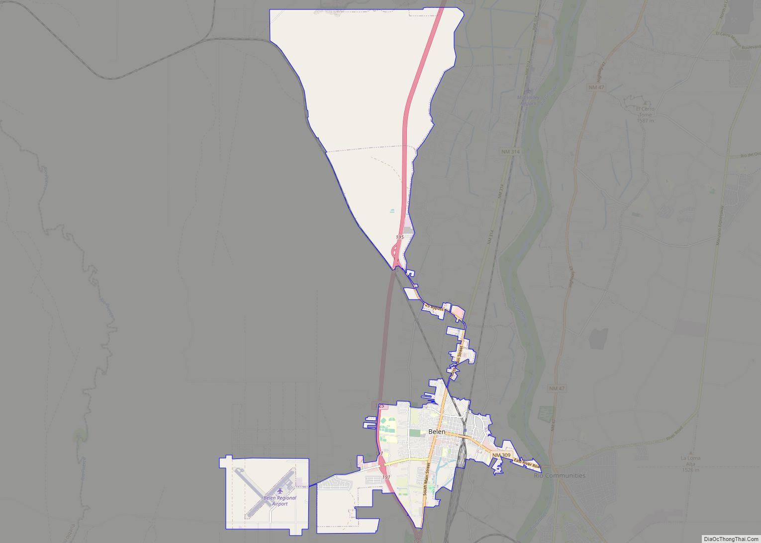
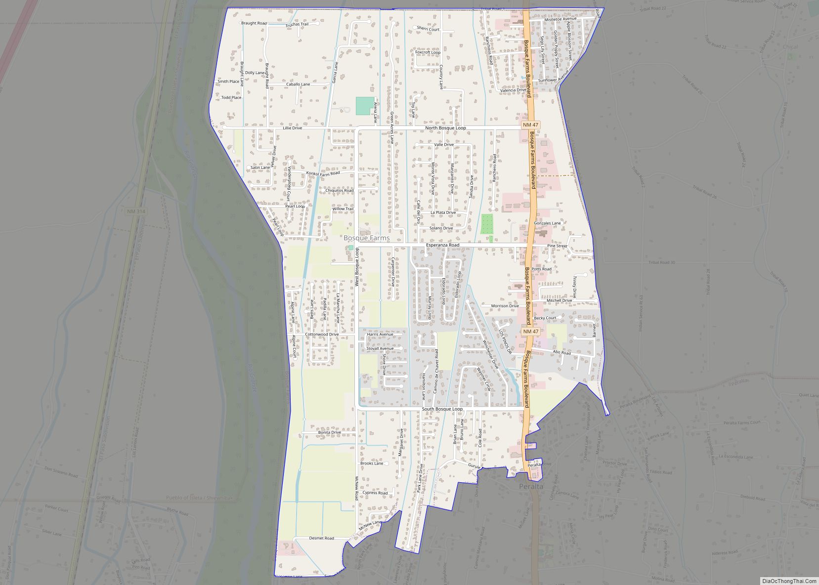
Belén (/bəˈlɪn/; Spanish: Belén) is the second most populous city in Valencia County, New Mexico, United States, after its county seat, Los Lunas. The population was 7,360 at the 2020 Census.
Belén is Spanish for Bethlehem but gained the nickname “The Hub City”. The city is geographically near the center of New Mexico and has been a significant transportation hub for central New Mexico that includes access to rail, the interstate highway and air at Valencia County’s only public airport.
Belén is at the southern end of the Albuquerque Metropolitan Statistical Area. The city is located 35 miles south of Albuquerque.
| Name: | Belen city |
|---|---|
| LSAD Code: | 25 |
| LSAD Description: | city (suffix) |
| State: | New Mexico |
| County: | Valencia County |
| Incorporated: | 1918 |
| Elevation: | 4,810 ft (1,466 m) |
| Total Area: | 19.08 sq mi (49.41 km²) |
| Land Area: | 19.05 sq mi (49.35 km²) |
| Water Area: | 0.02 sq mi (0.06 km²) |
| Total Population: | 7,360 |
| Population Density: | 386.27/sq mi (149.14/km²) |
| ZIP code: | 87002 |
| Area code: | 505 |
| FIPS code: | 3506480 |
| GNISfeature ID: | 0923557 |
| Website: | http://www.belen-nm.gov/ |
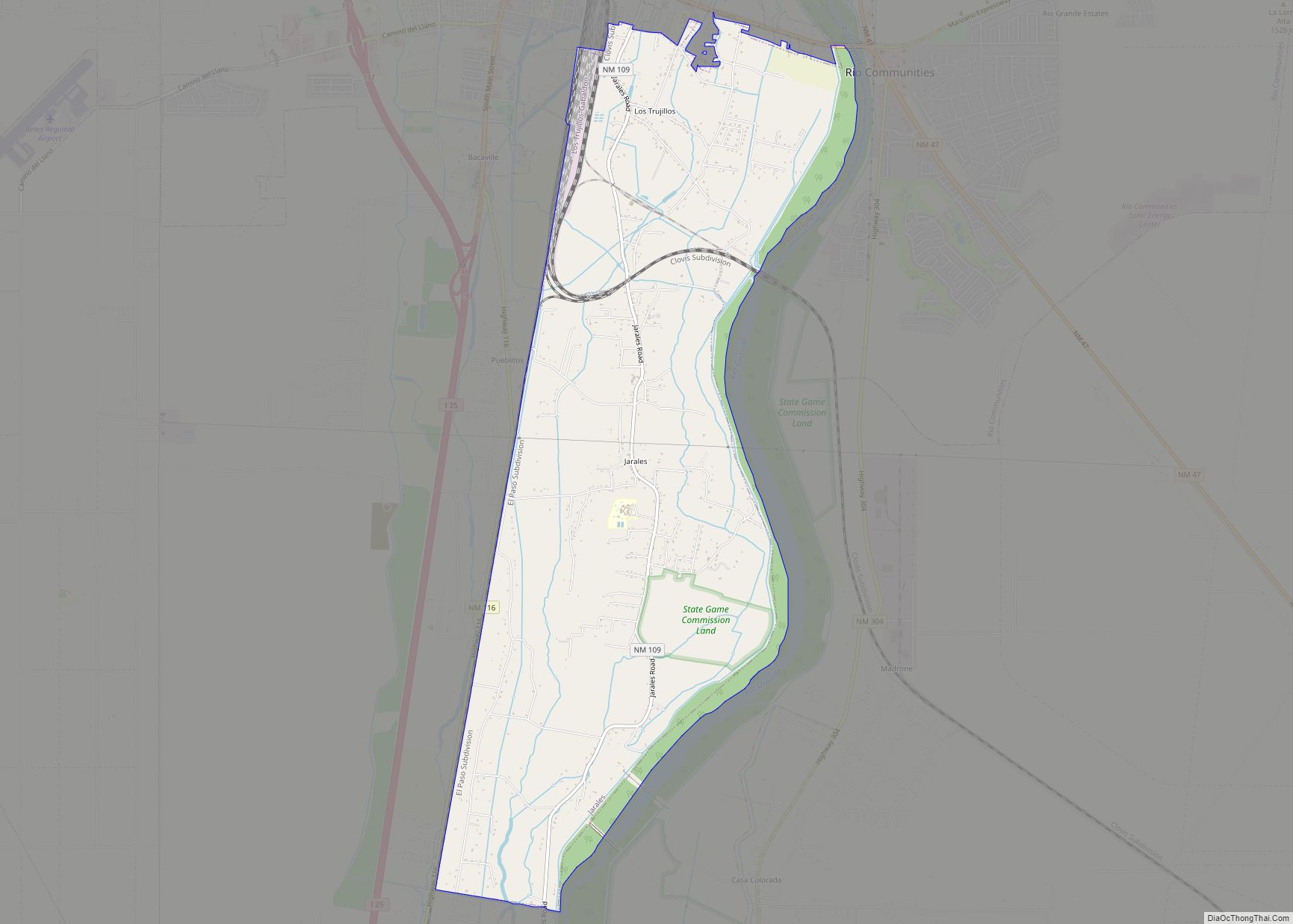
Online Interactive Map
Click on ![]() to view map in "full screen" mode.
to view map in "full screen" mode.
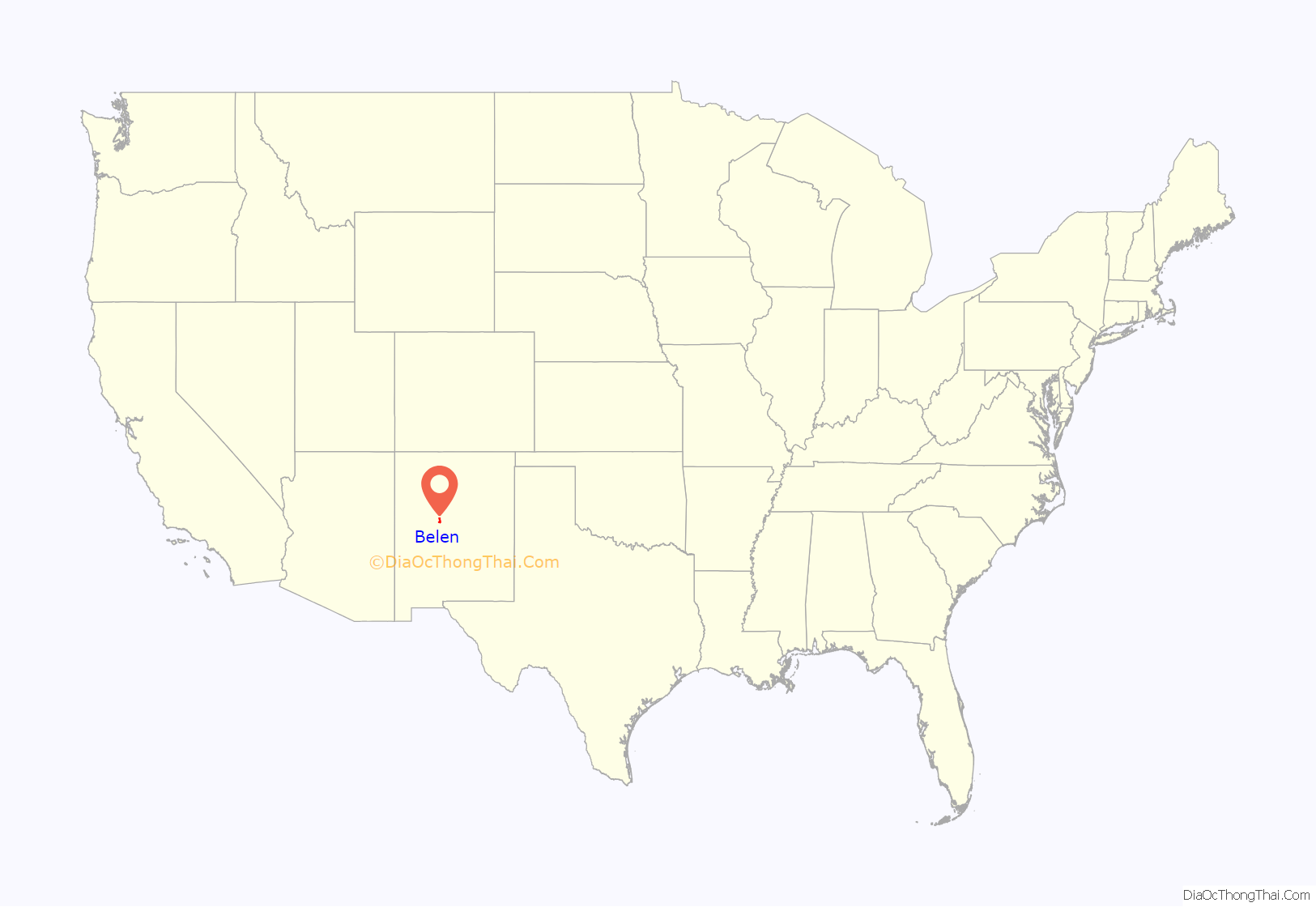
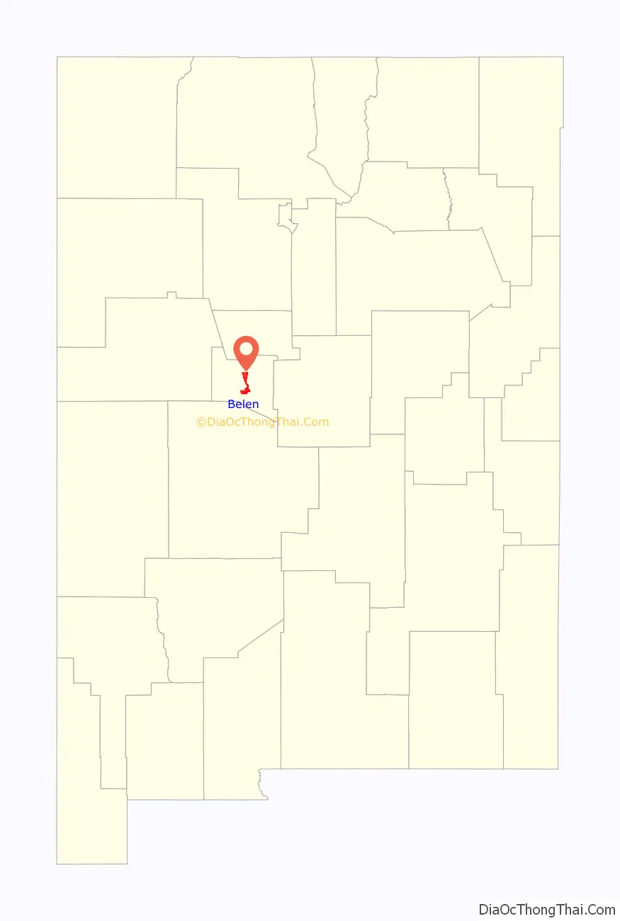
Belen location map. Where is Belen city?
History
Belén was founded in 1740 as Nuestra Señora de Belén (Our Lady of Bethlehem) by a group of colonists led by Diego Torres and Antonio Salazar, who had received permission to settle the tract of land known as the Belén Grant. The early settlers in the Belén grant included several genízaro families. The genízaros, American Indians with origins as slaves and servants of the colonists, were important in the frontier defense of New Mexico. For the genízaros, relocation to Belén and other frontier settlements was a means of acquiring land. Their settlement in Belén was established to protect the southern border of the colony from Apache raiders. Belén was the first of what would be many genízaro settlements and, by 1744, 40 families were in residence. Spanish and mestizo families were also settled in Belén.
Recognizing the strategic significance of Belen, Spanish authorities established a fort in Belén to protect the settlements along the Rio Grande in 1760. By the 1790s, Belén had established a city center known as Plaza Vieja, or Old Town, and had grown from a paraje, or precinct, to a partido, or district, with a population of 1,695. By 1793, a Catholic church and parish were founded.
By the middle of the 19th century, Belén had outgrown Old Town and was expanding into what became known as New Town. In 1853, the residents in each part of town disagreed over the construction of a new Catholic church, with residents of Old Town wanting the new church to remain there, while residents of New Town wanted it built in their part of town. Ultimately, the adobe church in Old Town was abandoned and a new church was built in New Town. In 1910, the last ruins of the former church were dynamited and the crushed adobe was used to pave New Town’s main avenue — Becker Avenue.
The residents of Valencia County spent nearly 30 years from 1846 to 1875 disputing where the county seat should be located. Valencia, north of Belén, was the county seat in 1846, followed by Peralta in 1847. Valencia reclaimed the county seat in 1849, only to lose it to Tomé in 1852. Belén captured the county seat from Tomé 20 years later but lost it to Tomé two short years later in 1874. Finally, in 1875, Los Lunas claimed the county seat and remains the county seat to this day.
In the late winter of 1862, Belén, an ally of the Union, become entangled in the Civil War when the town briefly fell under Confederate control after 400 Confederate soldiers marched into Belén. By summer, however, the Confederate army had completely withdrawn from New Mexico.
In 1880, the Atchison, Topeka, and Santa Fe Railway reached Belén during the construction of a rail line to El Paso. In 1884, the General Land Office, through the authority of President Ulysses S. Grant, established the Town of Belén. By the turn of the century, local merchant John Becker had designed a commercial and residential plan for the town. Becker’s plan laid out Belén on a grid, extending from a commercial center with two grand avenues — Becker Avenue and Dalies Avenue. Originally, all of the town’s streets were to be named after Spanish explorers, such as Coronado, but were quickly changed to the last names of the town’s founders, such as Becker, Paul Dalies, and Charles Reinken.
In 1907, the Belén Cutoff for the Santa Fe Railway was completed, connecting Amarillo with Belén. Prior to the Belén Cutoff, trains used the steep Raton Pass on the Colorado and New Mexico border. The cutoff made it possible for many more trains to travel east and west across the United States. Facilities at Belén included a large roundhouse and a classification yard, serving also branches southward to El Paso and northward through Albuquerque to Colorado. Today, Belén remains a major refueling station for BNSF Railway, where an average of 110 trains travel through Belén in a 24-hour period on the Southern Transcon.
Belén was officially incorporated as a municipality in 1918. It was originally called the “Village of Belén”, later becoming the “City of Belén”.
In 1927, Belén native and movie stunt pilot Arthur C. Goebel took up the challenge by James D. Dole, the Hawaii pineapple magnate, to race with other pilots to be the first to fly nonstop from the mainland United States to the Hawaii territory in what is known as the Dole Air Race. Goebel flew the Woolaroc. Of the 13 planes that qualified, seven were lost in crashes, killing ten people. Only two planes made it safely to Hawaii. Goebel landed first in Hawaii after a nonstop 26 hours, 17 minutes, and 33 seconds, receiving the top prize of $25,000.
The world’s first atomic bomb, in unassembled pieces, traveled through Belén in July 1945 en route to the Trinity site at what is now White Sands Missile Range. The bomb’s Belén route used old Highway 85, now Highway 314, also known as Main Street. Located in downtown Belén in 1945 was Roy’s Cafe, a restaurant where military and science personnel would go to grab a meal since it had the necessary security clearance. Local legend suggests personnel escorting the atomic bomb, and perhaps the bomb itself, stopped at Roy’s Cafe as they passed through town.
In 1950, William F. Beavers, owner of B&B Cafe on Becker Avenue, filed the first patent for a machine that sliced potatoes into waffle-like slices, vowing to help commercialize the now famed waffle fry in cafes across the United States. His patent was granted two years later for what he called a “slicing machine with a stationary knife and reciprocating carrier” made “for the slicing of potatoes and like foods into attractive shapes.” The waffle fries could be paired with Belén’s own Hub City soda pop brewed and bottled locally by the Belén Bottling Co. The soda’s trademark was “Pop with Personality”.
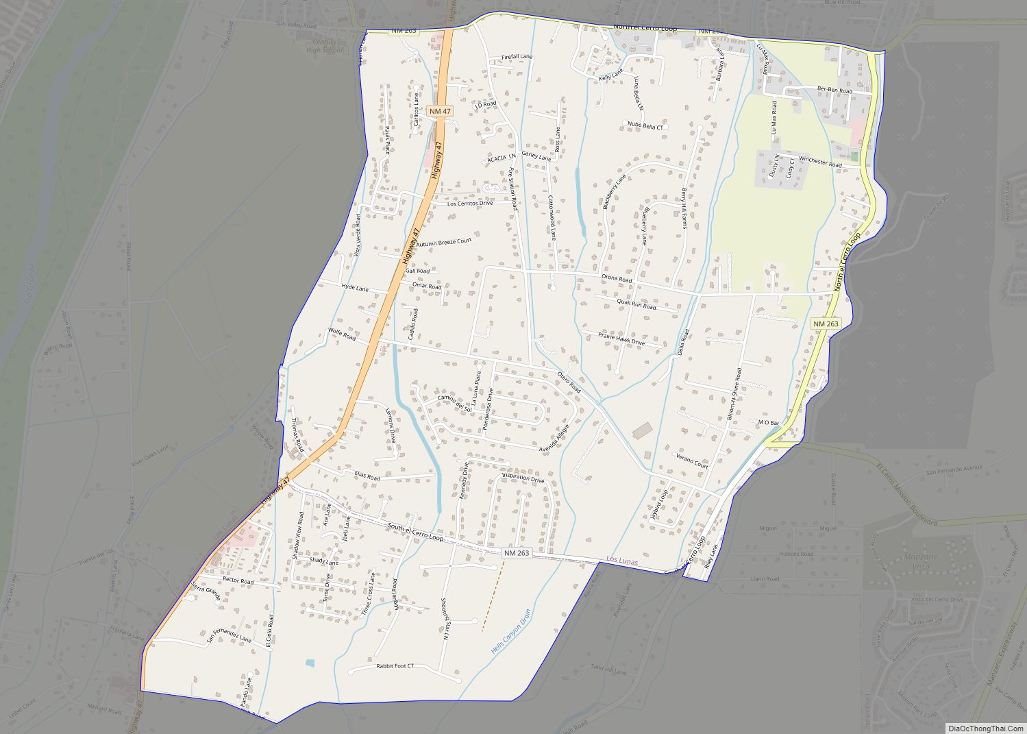
Belen Road Map
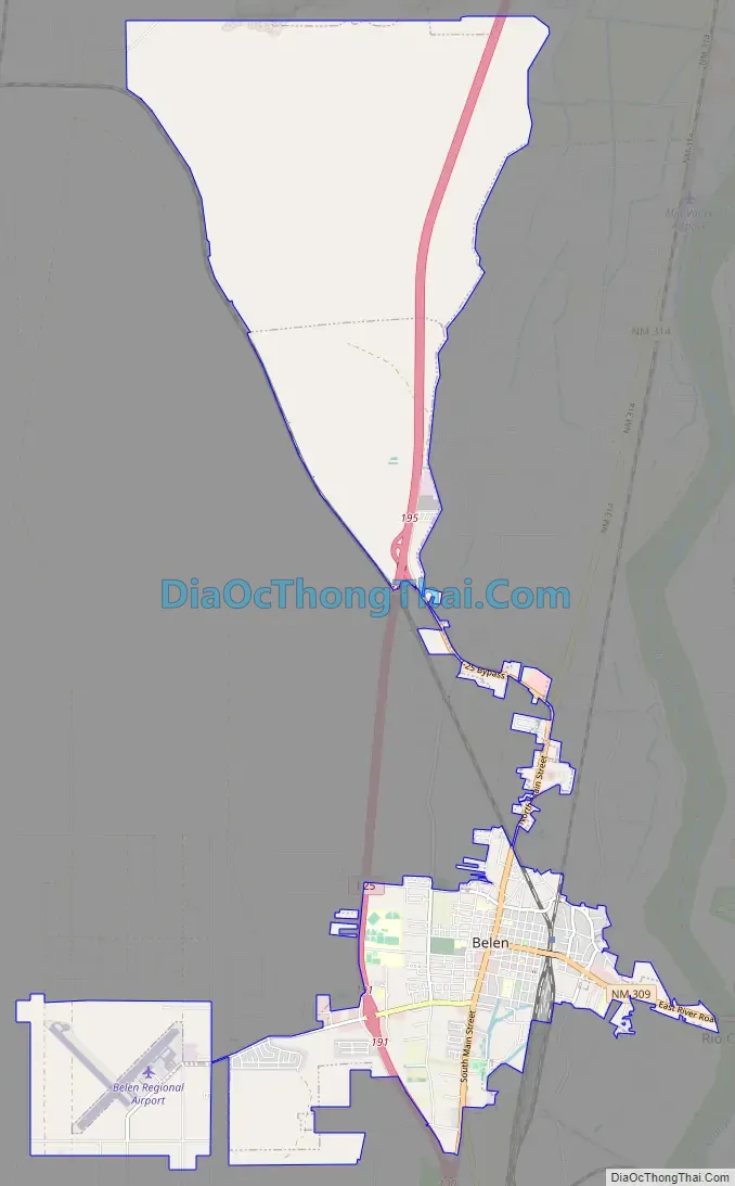
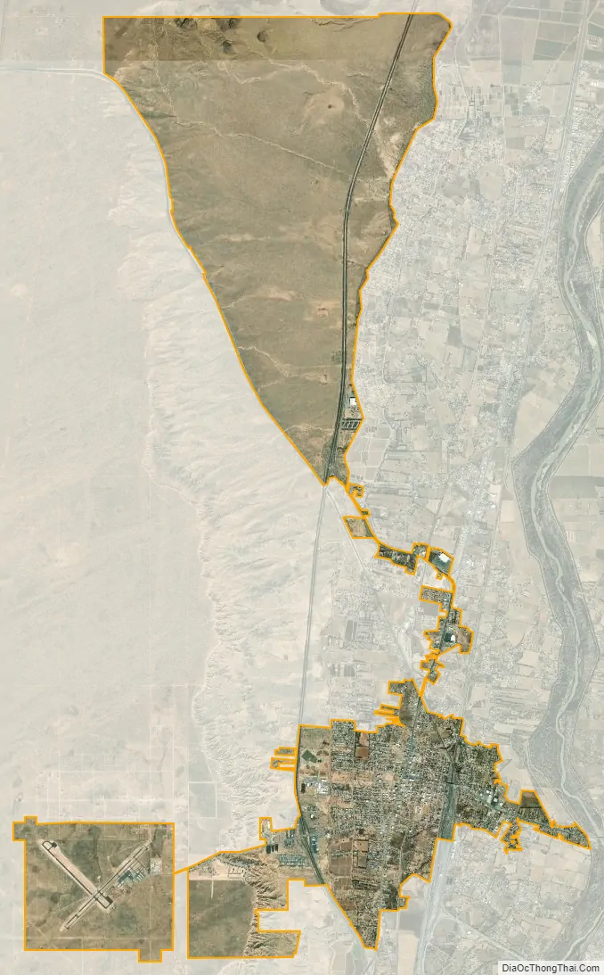
Belen city Satellite Map
Geography
Belén is located at 34°39′56″N 106°46′34″W / 34.66556°N 106.77611°W / 34.66556; -106.77611 (34.665587, -106.776225). According to the United States Census Bureau, the city has a total area of 4.7 square miles (12 km), all land. The city lies in the Rio Grande Valley of the Albuquerque Basin on the west bank of the Rio Grande.
Climate
This climate type occurs primarily on the periphery of the true deserts in low-latitude semiarid steppe regions.
See also
Map of New Mexico State and its subdivision: Map of other states:- Alabama
- Alaska
- Arizona
- Arkansas
- California
- Colorado
- Connecticut
- Delaware
- District of Columbia
- Florida
- Georgia
- Hawaii
- Idaho
- Illinois
- Indiana
- Iowa
- Kansas
- Kentucky
- Louisiana
- Maine
- Maryland
- Massachusetts
- Michigan
- Minnesota
- Mississippi
- Missouri
- Montana
- Nebraska
- Nevada
- New Hampshire
- New Jersey
- New Mexico
- New York
- North Carolina
- North Dakota
- Ohio
- Oklahoma
- Oregon
- Pennsylvania
- Rhode Island
- South Carolina
- South Dakota
- Tennessee
- Texas
- Utah
- Vermont
- Virginia
- Washington
- West Virginia
- Wisconsin
- Wyoming