Valley County is a county in the U.S. state of Montana. Valley County was created in 1893 with area partitioned from Dawson County. As of the 2020 census, the population was 7,578. Its county seat is Glasgow. It is located on the Canada–United States border with Saskatchewan.
| Name: | Valley County |
|---|---|
| FIPS code: | 30-105 |
| State: | Montana |
| Founded: | 1893 |
| Seat: | Glasgow |
| Largest city: | Glasgow |
| Total Area: | 5,062 sq mi (13,110 km²) |
| Land Area: | 4,926 sq mi (12,760 km²) |
| Total Population: | 7,578 |
| Population Density: | 1.5/sq mi (0.58/km²) |
| Time zone: | UTC−7 (Mountain) |
| Summer Time Zone (DST): | UTC−6 (MDT) |
| Website: | valleycountymt.net |
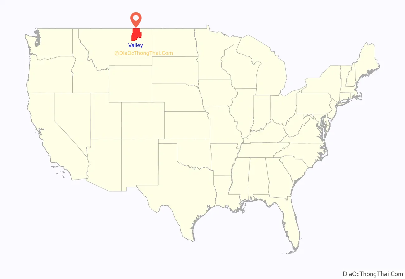
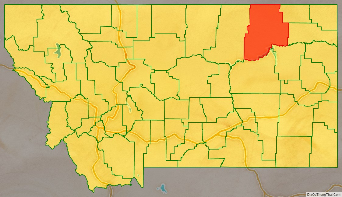
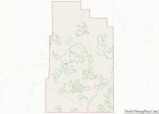
Valley County location map. Where is Valley County?
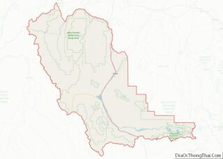
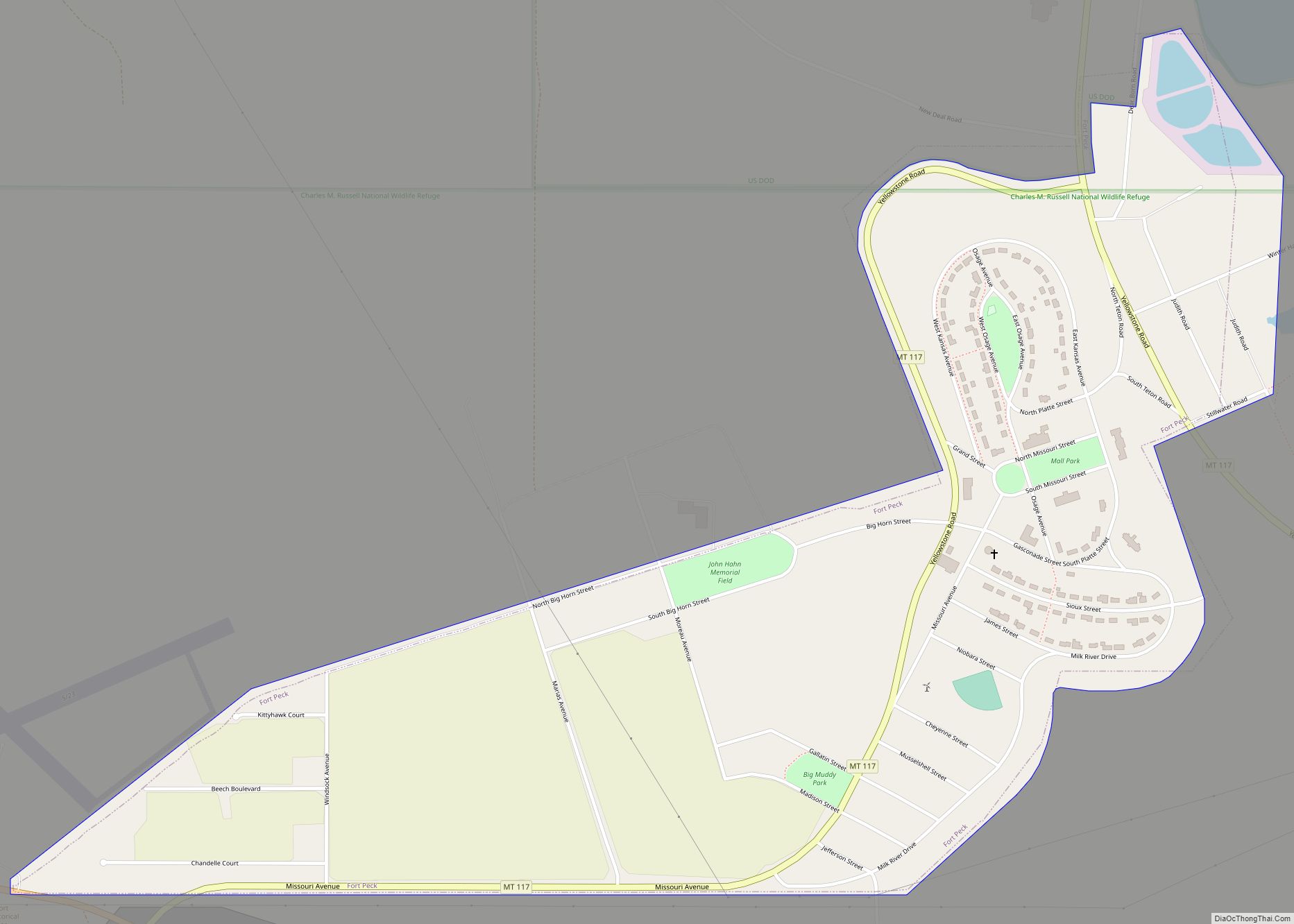
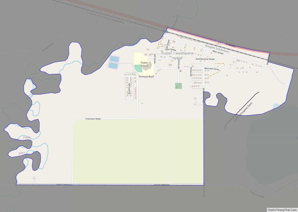
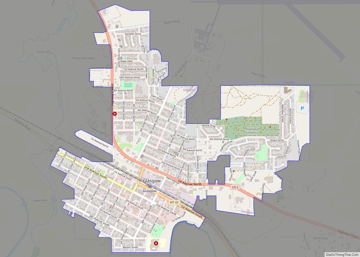
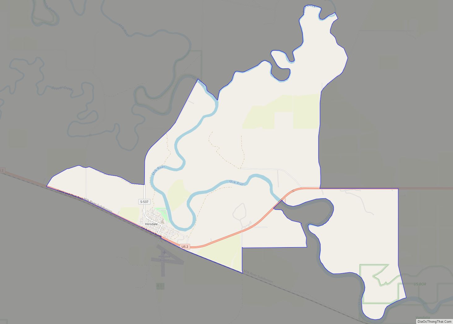
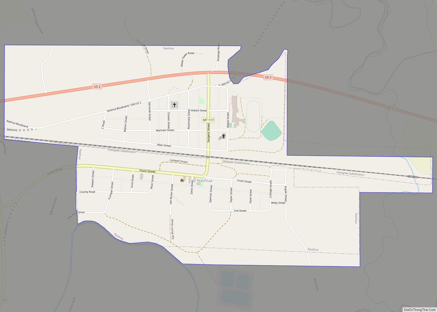
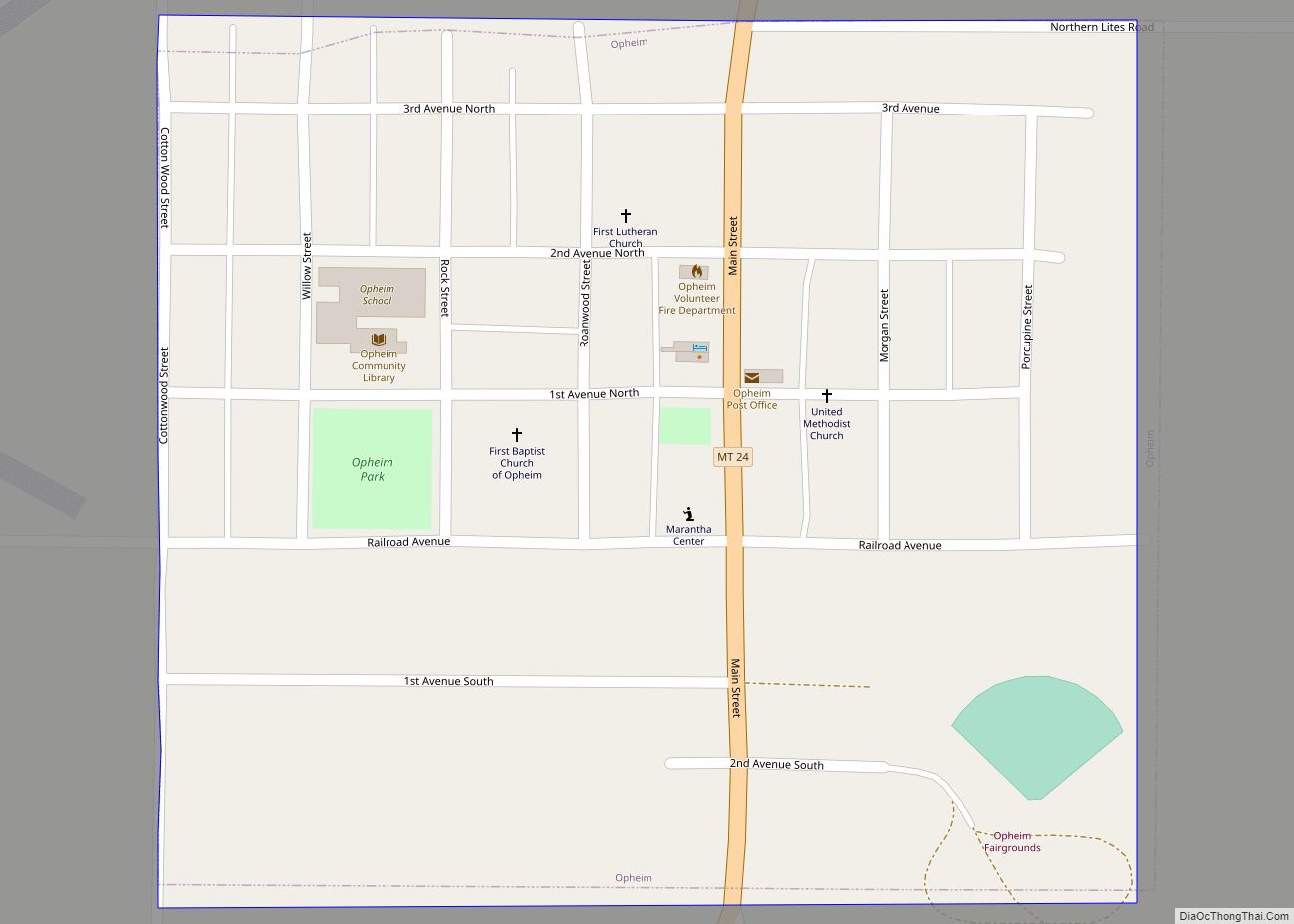
Valley County Road Map
Geography
According to the United States Census Bureau, the county has a total area of 5,062 square miles (13,110 km), of which 4,926 square miles (12,760 km) is land and 136 square miles (350 km) (2.7%) is water. It is Montana’s fourth-largest county by total area.
Transportation
- U.S. Highway 2
- Montana Highway 24
- Montana Highway 42
- Montana Highway 117
- Montana Secondary Highway 248
Glasgow and the greater Valley County region are served by a non-profit taxi/bus service called Valley Country Transit.
Adjacent counties and rural municipalities
- Phillips County – west
- Garfield County – south
- McCone County – south
- Roosevelt County – east
- Daniels County – east
- Rural Municipality (RM) of Mankota No. 45, Saskatchewan (SK) – north
- RM of Waverley No. 44, SK – north
- RM of Old Post No. 43, SK – north
National protected area
- Charles M. Russell National Wildlife Refuge (part)
