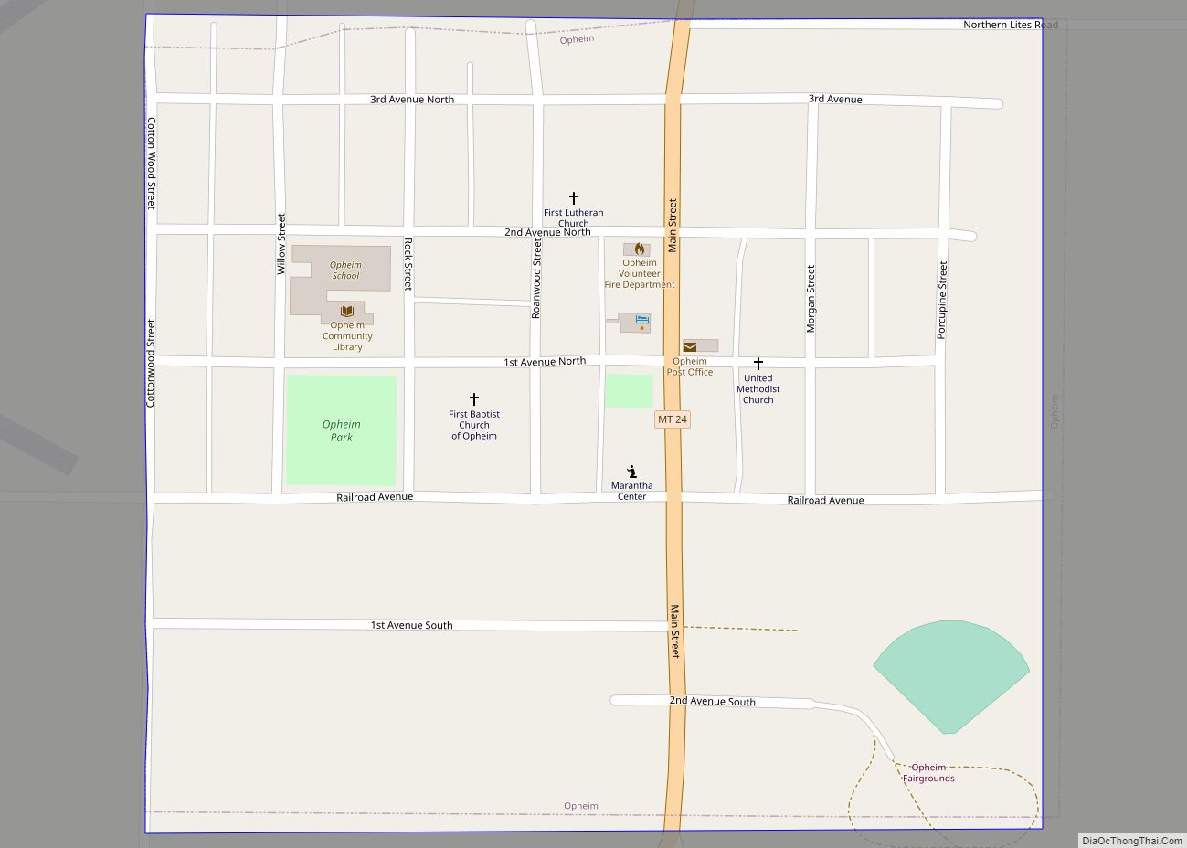
Opheim is a town in Valley County, Montana, United States. The population was 75 at the 2020 census.
| Name: | Opheim town |
|---|---|
| LSAD Code: | 43 |
| LSAD Description: | town (suffix) |
| State: | Montana |
| County: | Valley County |
| Elevation: | 3,264 ft (995 m) |
| Total Area: | 0.21 sq mi (0.54 km²) |
| Land Area: | 0.21 sq mi (0.54 km²) |
| Water Area: | 0.00 sq mi (0.00 km²) |
| Total Population: | 75 |
| Population Density: | 358.85/sq mi (138.85/km²) |
| ZIP code: | 59250 |
| Area code: | 406 |
| FIPS code: | 3055525 |
| GNISfeature ID: | 0774973 |
Online Interactive Map
Click on ![]() to view map in "full screen" mode.
to view map in "full screen" mode.
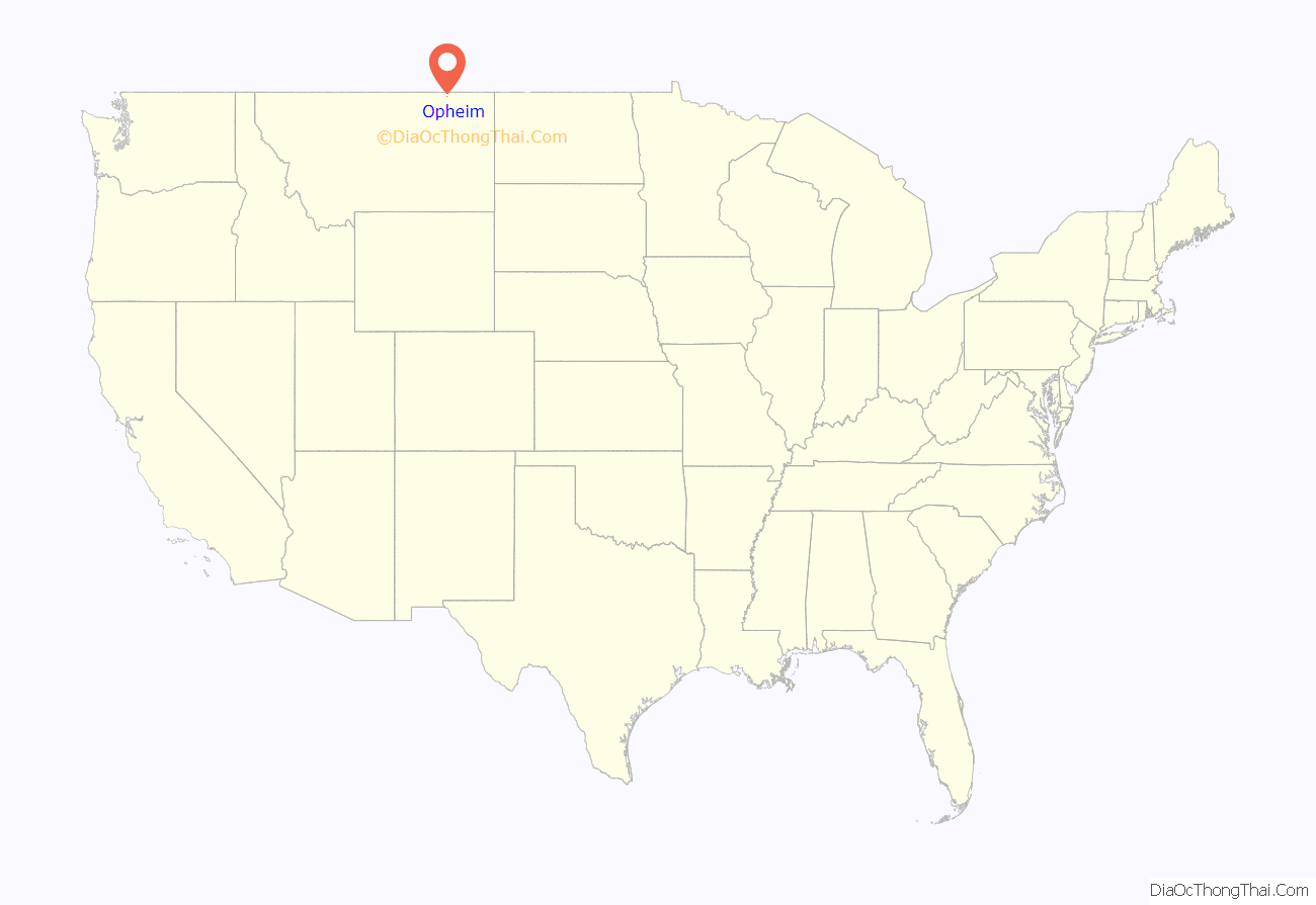
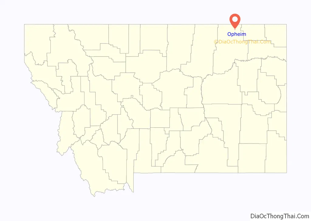
Opheim location map. Where is Opheim town?
History
- Opheim was named for Alfred Sumner Opheim (1872-1949), who together with his wife Helen (Ouandahl) Opheim (1874-1930), served as the first postmasters of the town.
- The town was founded before the expansion of the Great Northern Railway, but benefited by having its own depot. In the early 1990s, railway abandonment occurred between the towns of Scobey and Opheim.
- Opheim was once the location of Opheim Air Force Station, a former United States Air Force General Surveillance Radar station. Since its closing in 1979, the population has decreased significantly.
- The city was also home to many banks, bars, stores, and a movie theater, all of which have changed hands or closed. The town has no major source of income and is currently facing a slow economic decline.
- Granrud’s Lefse in Opheim is one of the few area bakeries that still produces the traditional Norwegian potato flatbread, Lefse.
- Opheim has a strong Norwegian-American heritage as reflected by the high school’s mascot, the Vikings. Opheim High School was the source of media attention in 2008 when the graduating class consisted of one student.
- Opheim celebrated its 100th anniversary in 2011 over the 4th of July weekend. Hundreds of former residents and former students enjoyed a number of events marking a rich history of immigrant homesteaders that once made Opheim a thriving town of 3,000 residents and business providing services to all of north Valley County.
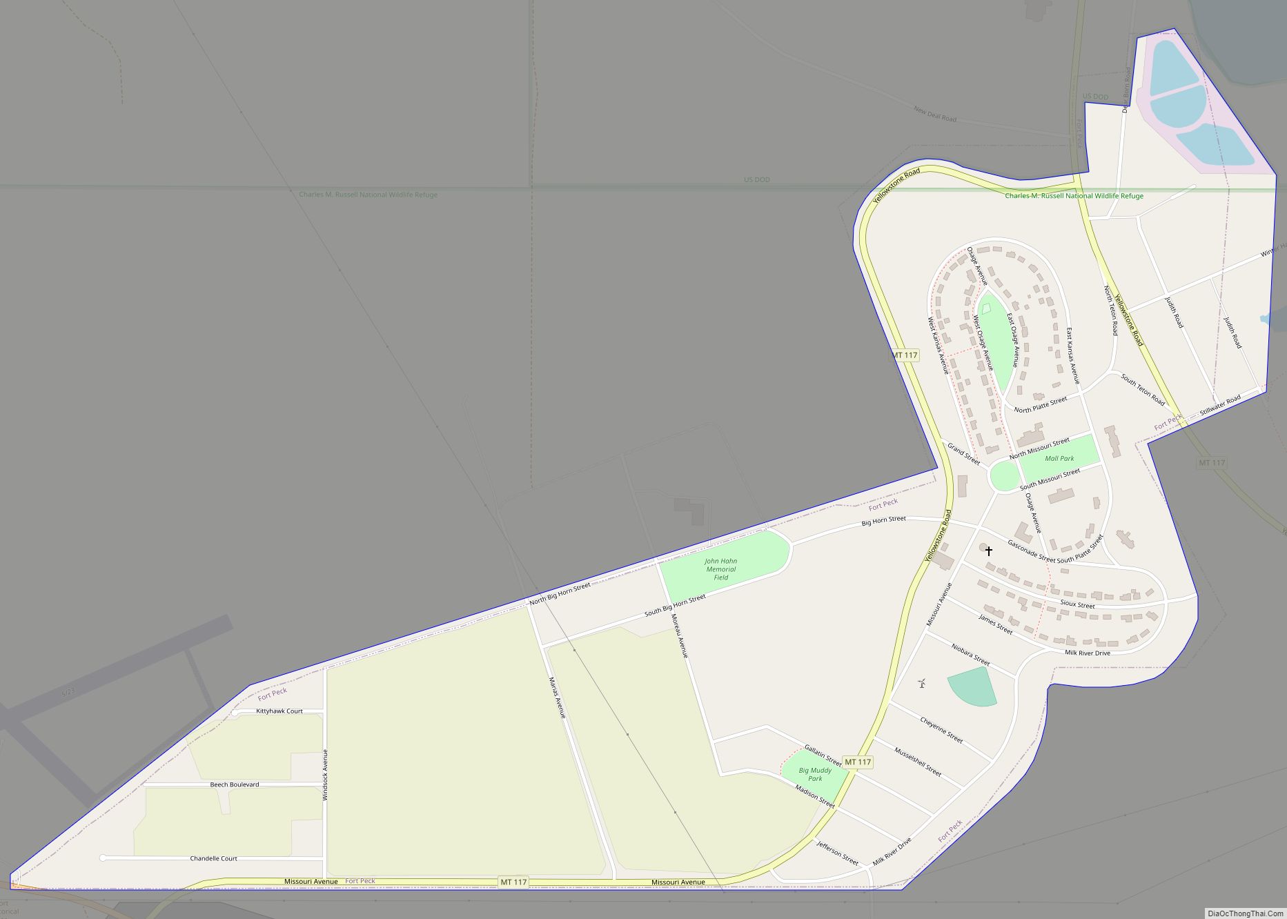
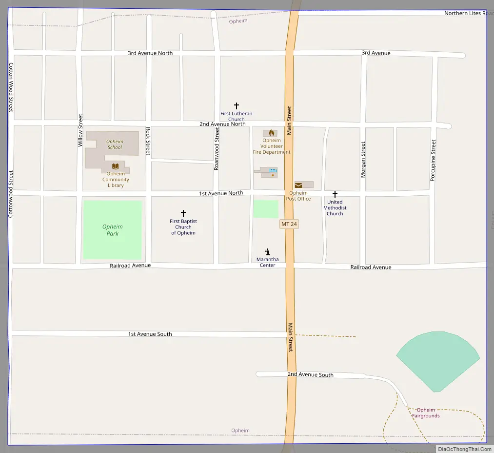
Opheim Road Map
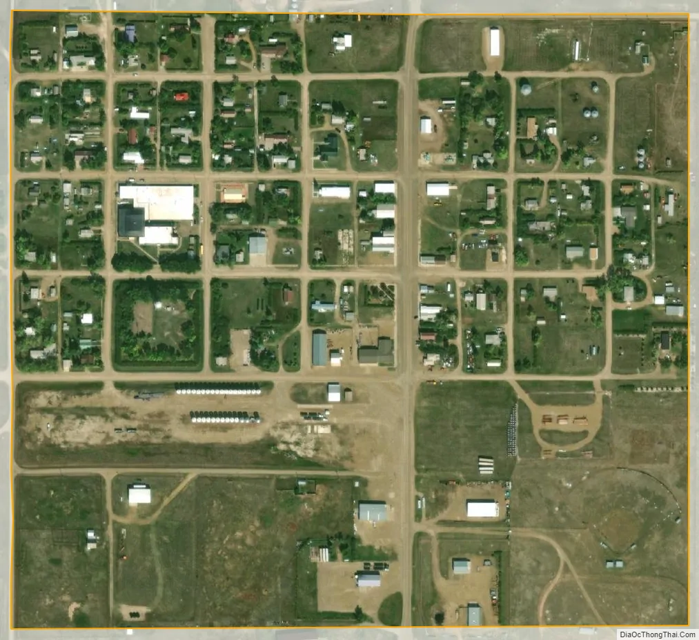
Opheim city Satellite Map
Geography
Opheim is located at 48°51′29″N 106°24′35″W / 48.85806°N 106.40972°W / 48.85806; -106.40972 (48.857981, -106.409816).
According to the United States Census Bureau, the town has a total area of 0.21 square miles (0.54 km), all land.
Climate
According to the Köppen Climate Classification system, Opheim has a semi-arid climate, abbreviated “BSk” on climate maps.
See also
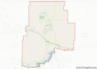
Map of Montana State and its subdivision:- Beaverhead
- Big Horn
- Blaine
- Broadwater
- Carbon
- Carter
- Cascade
- Chouteau
- Custer
- Daniels
- Dawson
- Deer Lodge
- Fallon
- Fergus
- Flathead
- Gallatin
- Garfield
- Glacier
- Golden Valley
- Granite
- Hill
- Jefferson
- Judith Basin
- Lake
- Lewis and Clark
- Liberty
- Lincoln
- Madison
- McCone
- Meagher
- Mineral
- Missoula
- Musselshell
- Park
- Petroleum
- Phillips
- Pondera
- Powder River
- Powell
- Prairie
- Ravalli
- Richland
- Roosevelt
- Rosebud
- Sanders
- Sheridan
- Silver Bow
- Stillwater
- Sweet Grass
- Teton
- Toole
- Treasure
- Valley
- Wheatland
- Wibaux
- Yellowstone
- Alabama
- Alaska
- Arizona
- Arkansas
- California
- Colorado
- Connecticut
- Delaware
- District of Columbia
- Florida
- Georgia
- Hawaii
- Idaho
- Illinois
- Indiana
- Iowa
- Kansas
- Kentucky
- Louisiana
- Maine
- Maryland
- Massachusetts
- Michigan
- Minnesota
- Mississippi
- Missouri
- Montana
- Nebraska
- Nevada
- New Hampshire
- New Jersey
- New Mexico
- New York
- North Carolina
- North Dakota
- Ohio
- Oklahoma
- Oregon
- Pennsylvania
- Rhode Island
- South Carolina
- South Dakota
- Tennessee
- Texas
- Utah
- Vermont
- Virginia
- Washington
- West Virginia
- Wisconsin
- Wyoming