Rockdale County is a county located in the U.S. state of Georgia. As of the 2020 census, the population was 93,570 up from 85,215 in 2010. The county seat is Conyers.
Rockdale County is included in the Atlanta-Sandy Springs-Roswell, GA Metropolitan Statistical Area.
| Name: | Rockdale County |
|---|---|
| FIPS code: | 13-247 |
| State: | Georgia |
| Founded: | 1870 |
| Named for: | Rockdale Baptist Church |
| Seat: | Conyers |
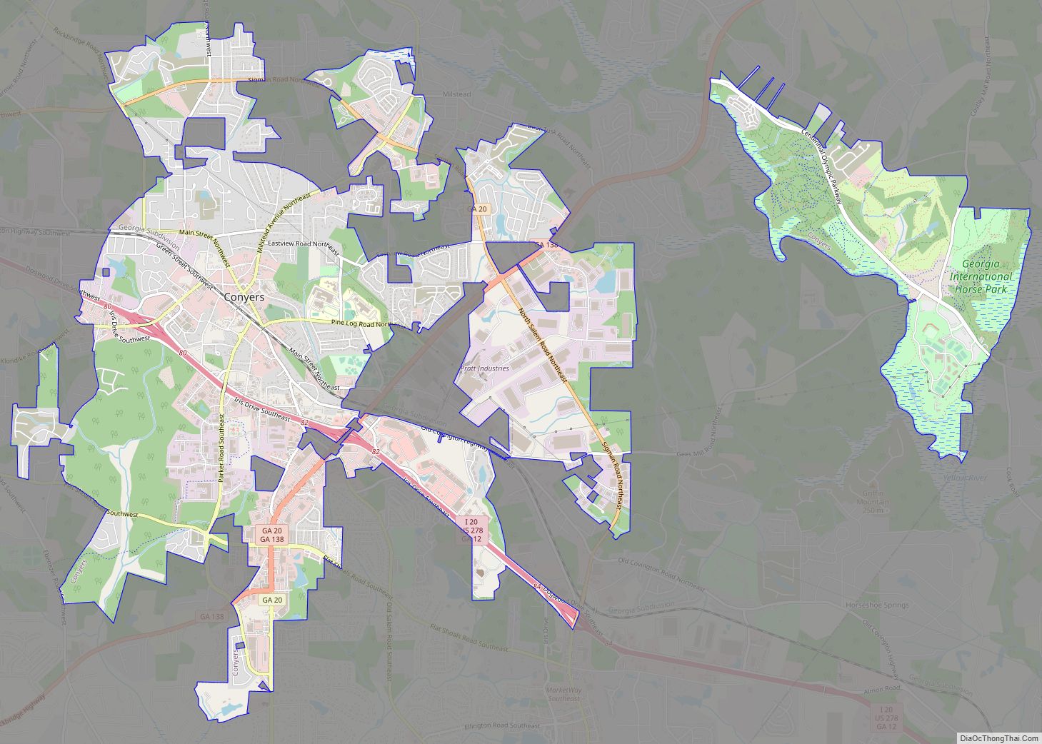
| Largest city: | Conyers |
| Total Area: | 132 sq mi (340 km²) |
| Land Area: | 130 sq mi (300 km²) |
| Total Population: | 93,570 |
| Time zone: | UTC−5 (Eastern) |
| Summer Time Zone (DST): | UTC−4 (EDT) |
| Website: | www.rockdalecountyga.gov |
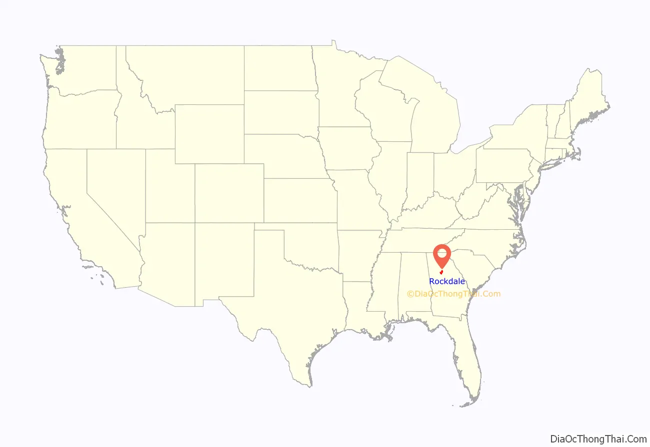
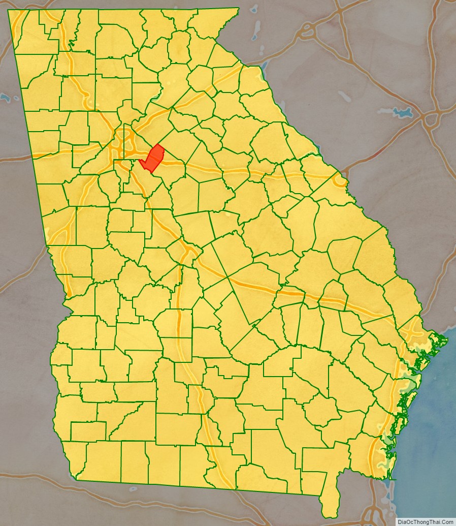
Rockdale County location map. Where is Rockdale County?
History
Rockdale County was created on October 18, 1870 and received its name from Rockdale Baptist Church (est. 1846), which was named after the granite strata that rests under the county’s red clay top soil. A bill introduced by John F. Hardin and John Harris carved Rockdale out of the northern portion of Newton County; parts of Rockdale County also came from neighboring Henry, Walton, Gwinnett, and DeKalb counties. Conyers, Rockdale’s only incorporated town and urban center, became the county seat.
Prior to Rockdale becoming a county, the land had been inhabited by the Creek and Cherokee; the boundary between the two native nations, the Hightower Trail, ran directly through the area. Burial remains have been discovered in the Honey Creek and Hi-Roc areas. Whites began migrating to the area in the early 19th century and initial white settlers suffered from Indian raids. Early white settlements developed along Big Haynes Creek in the northern part of the county, the Yellow River in the middle portion of the county, and Honey Creek in the south.
Communities formed around grist mills and newly formed churches such as Haralson Mill, Costleys Mill, Dial Mill, Zacharys Mill, McElroys Mill, Union Grove Baptist Church, Ebenezer Methodist Church, Philadelphia Methodist Church, Salem Baptist Church, Smyrna Presbyterian Church, Pleasant Hill Baptist Church, Bethel Christian Church, Honey Creek Baptist Church, and Whites Chapel Methodist Church. Other communities included Magnet and Zingara. These settlers were largely subsistence farmers.
During the American Civil War, General William Tecumseh Sherman marched the Union Army north of Conyers on his way to Covington from Lithonia. Seizure and destruction of property accompanied his army’s march through the area. Many of the residents of Conyers, fearing Sherman would raze the city, fled to nearby Social Circle in Walton County, since Conyers was an important stop on the Georgia Railroad, but Conyers remained unscathed by the war.
The city is a fine example of residential and commercial architecture of the 19th century. According to a historical marker on U.S. Highway 278 west of Conyers, Major General Joseph Wheeler of the Confederate States Army and part of his staff were captured by Union troops pursuing Jefferson Davis on May 9, 1865. Wheeler was later released in Athens only to be recaptured again. He was wounded three times and had his horse shot out from under him sixteen times.
During Reconstruction, Conyers and Rockdale County experienced tremendous growth. According to the local newspaper, The Weekly Farmer, the population of Conyers increased from 300 to 2,000. The number of stores, businesses, schools, and churches of the county rapidly multiplied as well. Parts of the county were infamous for moonshining and the county became dry in 1882, prohibiting the sale and manufacture of liquor except by a licensed pharmacist as prescribed by a physician. The economy of the county was still based primarily on agriculture into the early 20th century. The PBS documentary The Lost Children of Rockdale County is about a syphilis outbreak which occurred in the county during the 1990s.
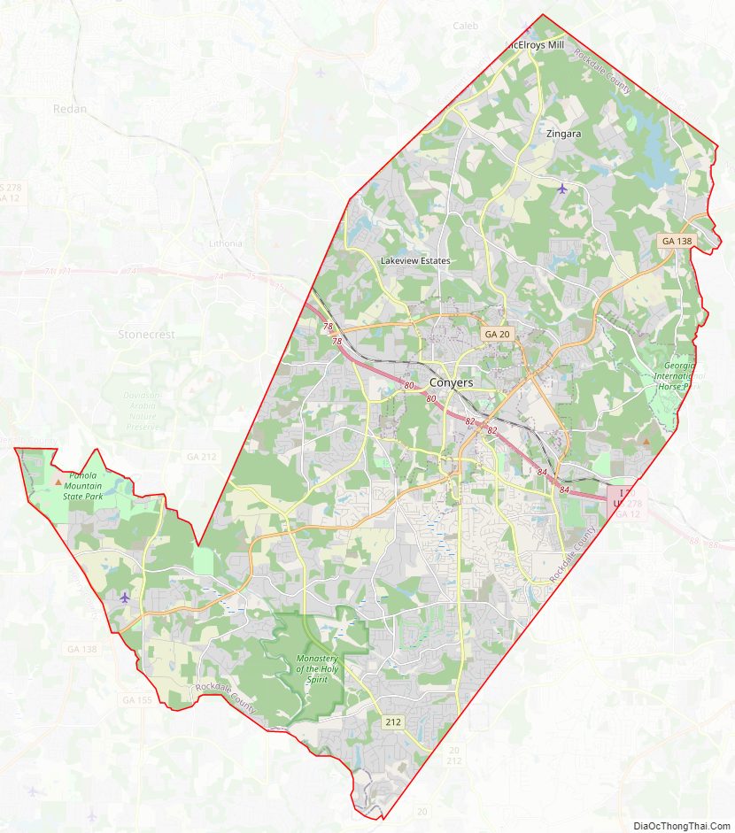
Rockdale County Road Map
Geography
According to the U.S. Census Bureau, the county has a total area of 132 square miles (340 km), of which 130 square miles (340 km) is land and 2.3 square miles (6.0 km) (1.7%) is water. It is the second-smallest county in Georgia by area, ahead of Clarke County.
The entirety of Rockdale County is located in the Upper Ocmulgee River sub-basin of the Altamaha River basin.
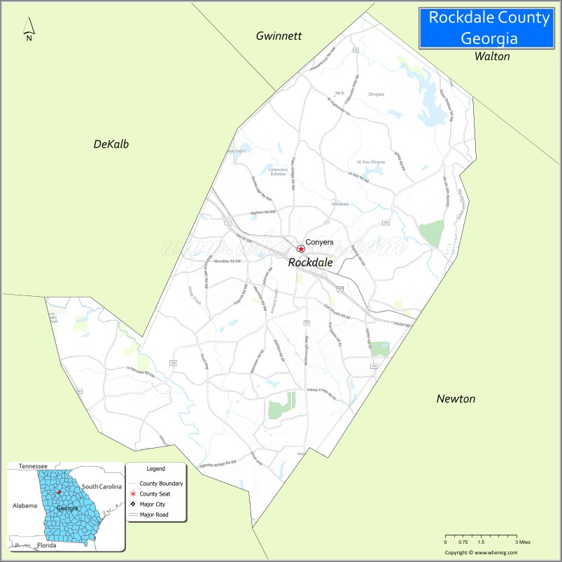
Adjacent counties
- Gwinnett County – north
- Walton County – northeast
- Newton County – Southeast
- Henry County – southwest
- DeKalb County – west
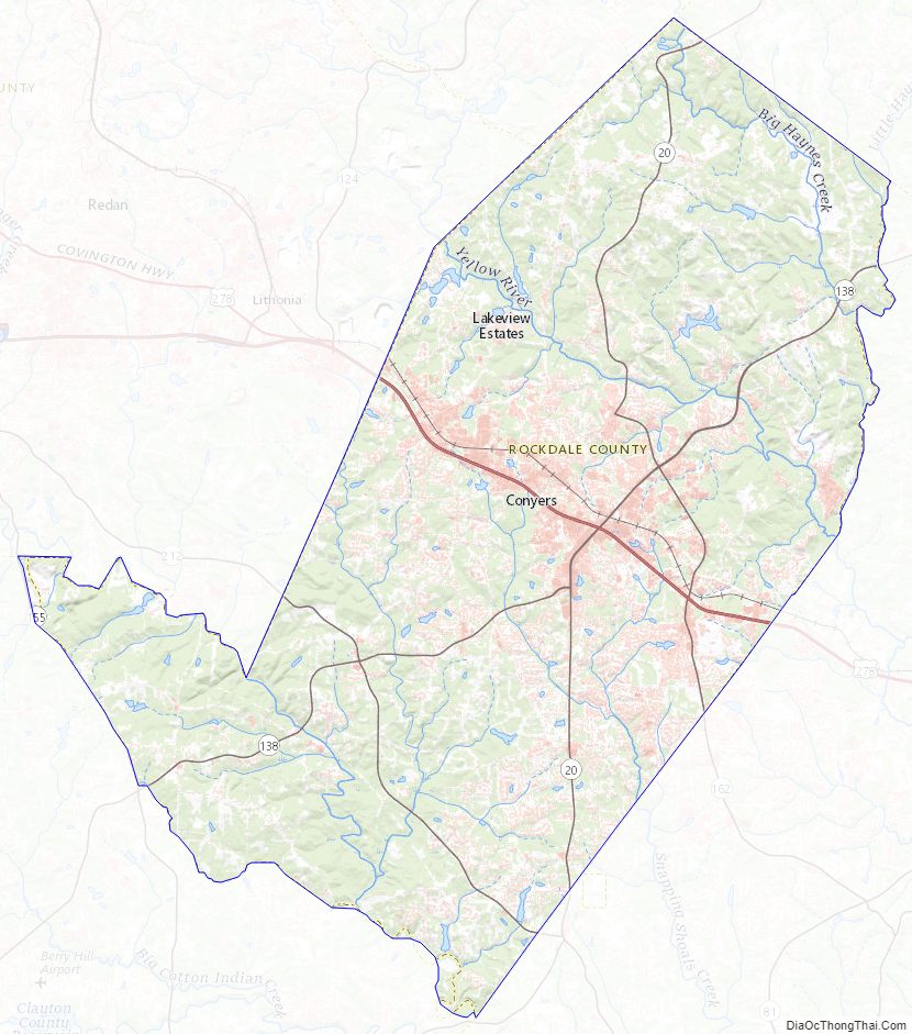
Rockdale County Topographic Map
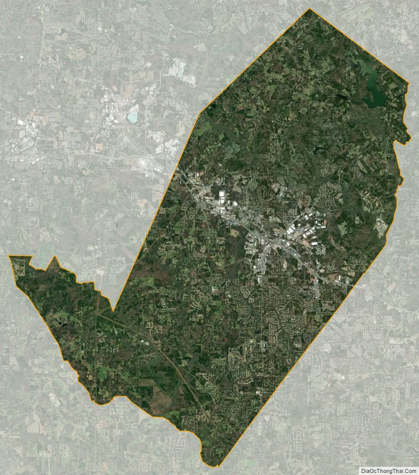
Rockdale County Satellite Map
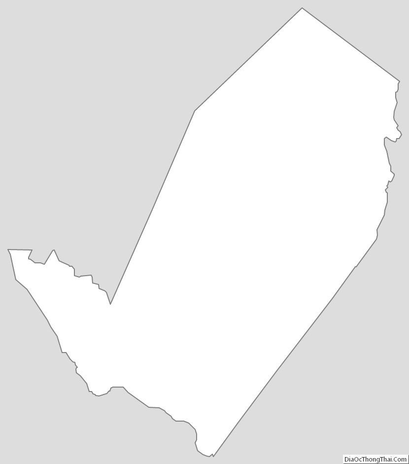
Rockdale County Outline Map