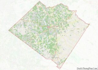
Monroe is a city in Walton County, Georgia, United States, serving as the county seat. It is located both one hour east of Atlanta via US 78 and GA 138 to I-20 and east of Hartsfield–Jackson International Airport and is one of the exurban cities in the Atlanta metropolitan area. The population was 14,928 at the 2020 U.S. census.
| Name: | Monroe city |
|---|---|
| LSAD Code: | 25 |
| LSAD Description: | city (suffix) |
| State: | Georgia |
| County: | Walton County |
| Elevation: | 909 ft (277 m) |
| Total Area: | 15.86 sq mi (41.08 km²) |
| Land Area: | 15.65 sq mi (40.53 km²) |
| Water Area: | 0.21 sq mi (0.55 km²) |
| Total Population: | 14,928 |
| Population Density: | 953.93/sq mi (368.31/km²) |
| ZIP code: | 30655-30656 |
| Area code: | 470/678/770 |
| FIPS code: | 1352192 |
| GNISfeature ID: | 0356398 |
| Website: | http://www.monroega.com/ |
Online Interactive Map
Click on ![]() to view map in "full screen" mode.
to view map in "full screen" mode.
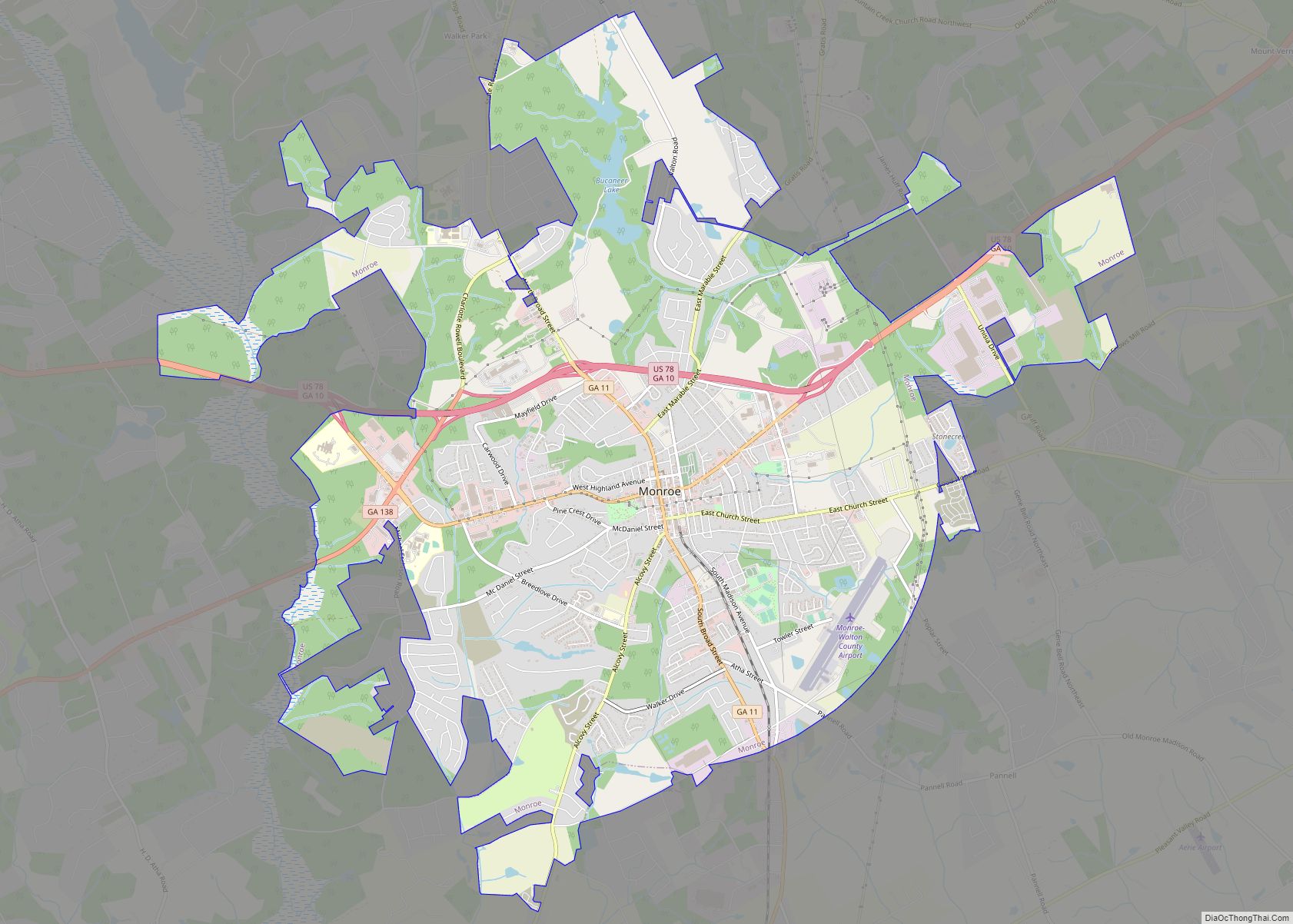
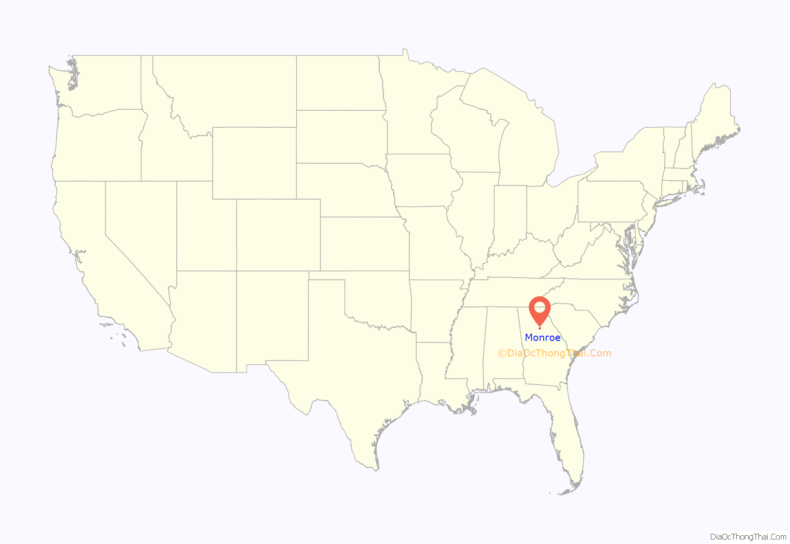
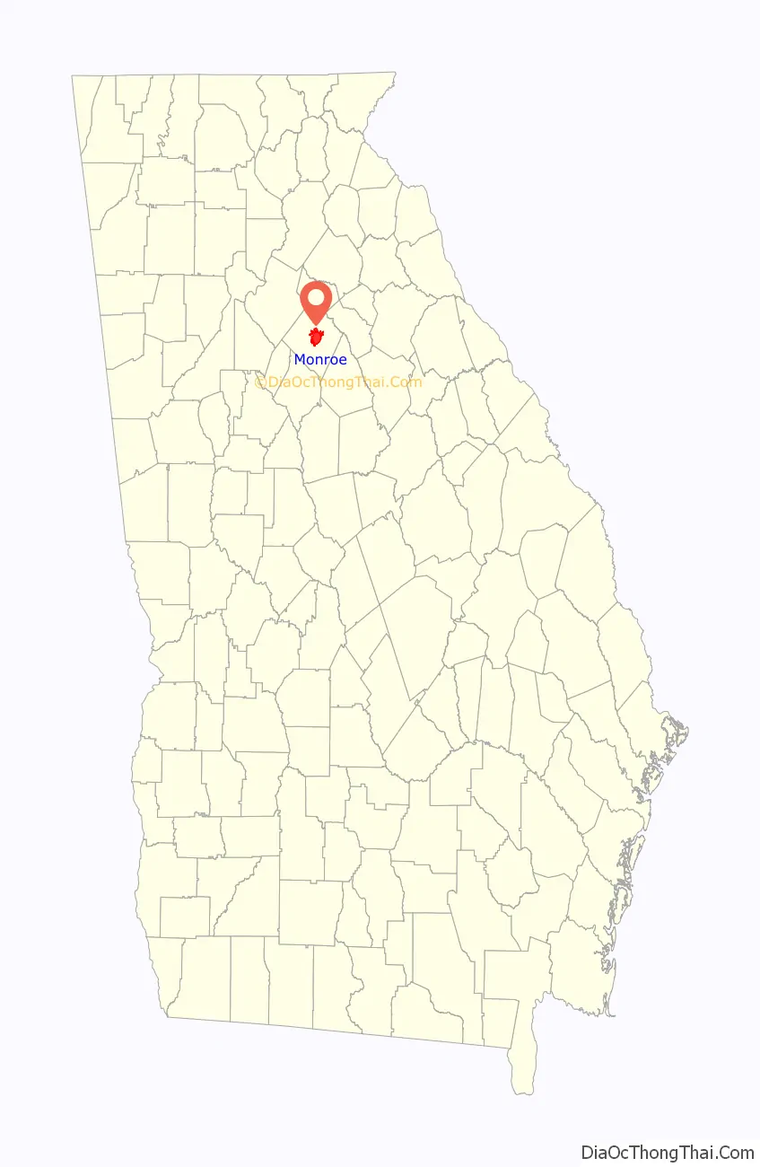
Monroe location map. Where is Monroe city?
History
Monroe was founded in 1818 as seat of the newly formed Walton County. It was incorporated as a town in 1821 and as a city in 1896.
Monroe was a major cotton producer in the state during the 1900s. The two main cotton mills in Monroe used to be the driving economic force in the region. Now the mills no longer produce for the cotton industry, but rather serve as economic engines for the region by housing antique markets, event space, and other unique retail.
In July 1946 the area was the site of the last mass lynching in the United States. A White mob attacked and killed two Black married couples who were driving through the area. The four people were pulled from their car and shot several times.
A Civil War memorial, in the form of a statue of a Confederate soldier, stands adjacent to the county courthouse in downtown Monroe.
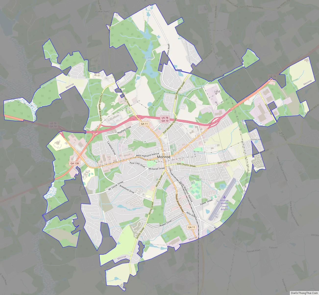
Monroe Road Map
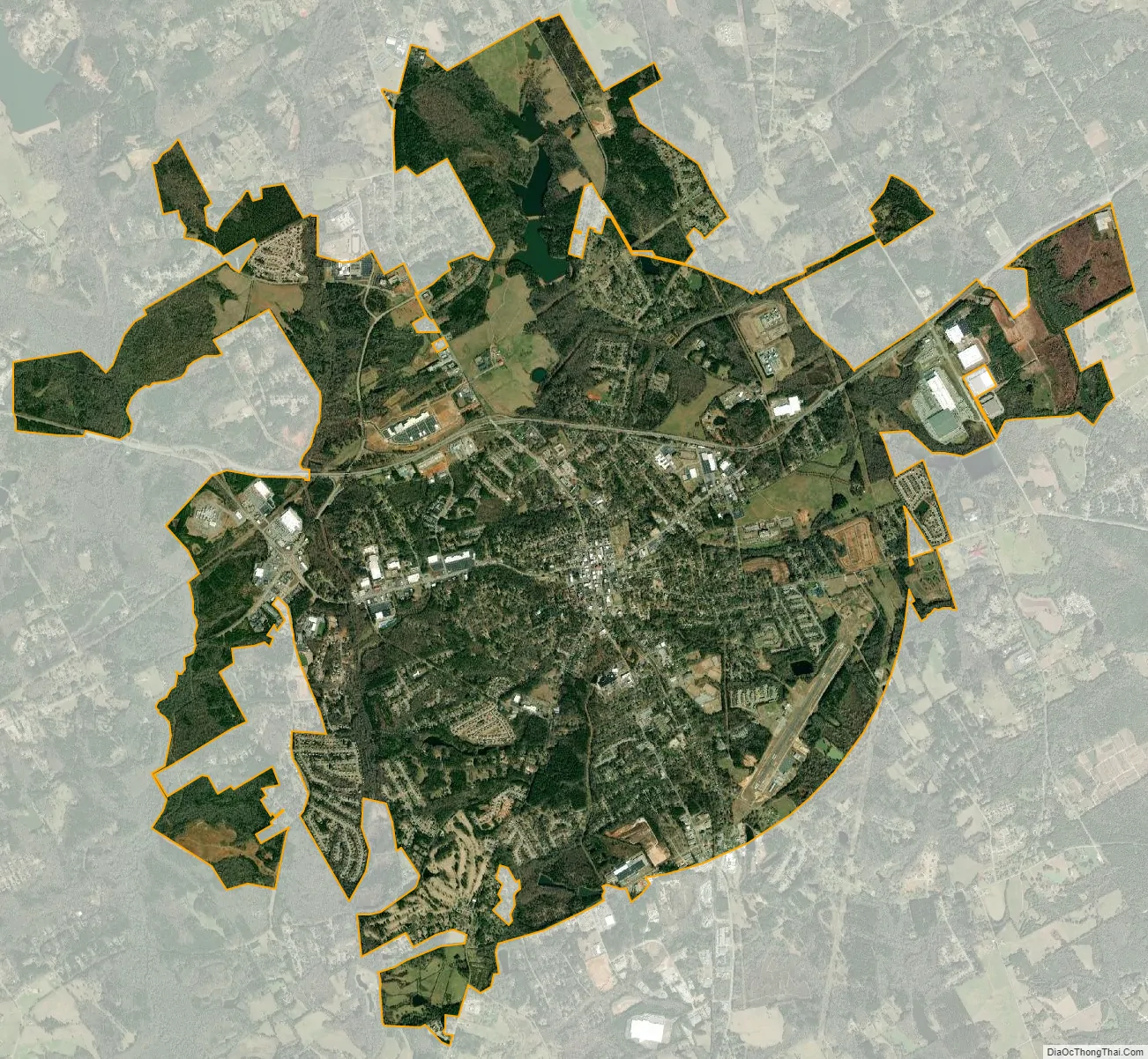
Monroe city Satellite Map
Geography
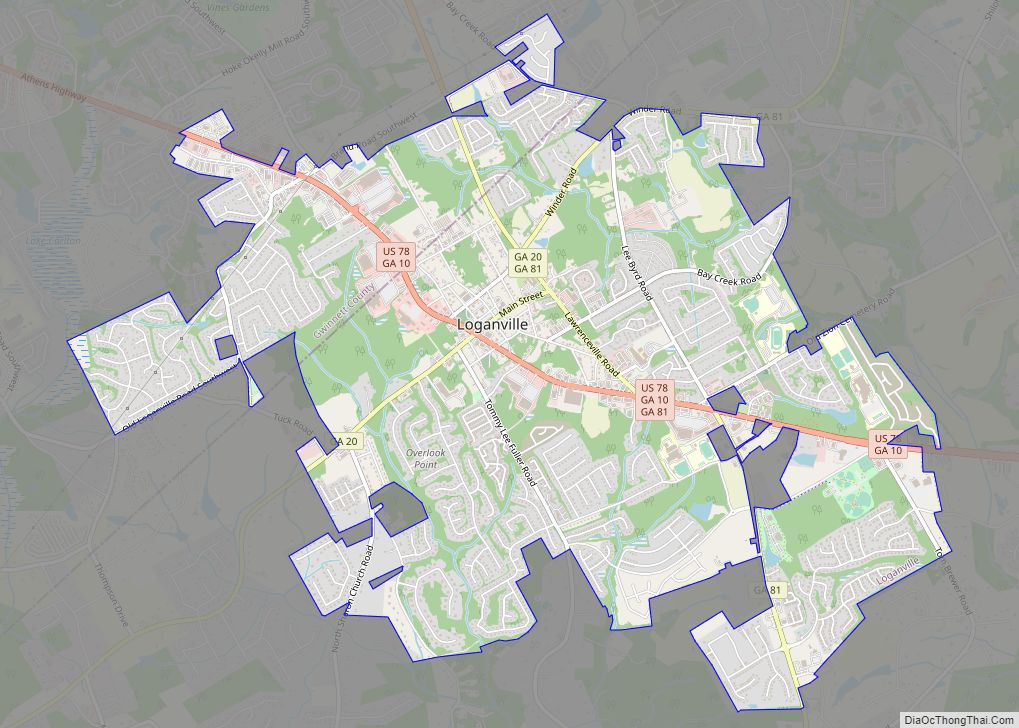
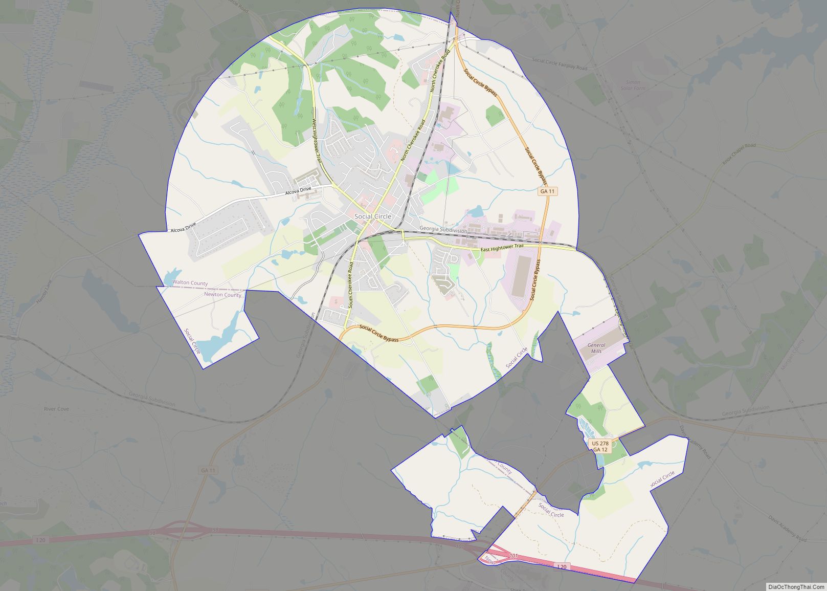
Monroe is in the center of Walton County. U.S. Route 78 (Atlanta/Monroe Bypass) passes north of the city, leading west 5 miles (8.0 km) to Loganville, and west 35 miles (56 km) to downtown Atlanta, and east 25 miles to Athens. GA Bus. 10 runs through the city of Monroe. Georgia State Route 11 leads northwest from Monroe 15 miles to Winder, the Barrow County seat, and south 10 miles to Social Circle, and southwest 15 miles (24 km) to eastern rural Newton County, east of Covington. State Route 138 leads south 18 miles (29 km) to Conyers.
Monroe is located at 33°47′36″N 83°42′39″W / 33.79333°N 83.71083°W / 33.79333; -83.71083 (33.793295, -83.710790).
According to the United States Census Bureau, the city has a total area of 10.5 square miles (27 km), of which 10.4 square miles (27 km) is land and 0.1 square miles (0.26 km) (1.05%) is water.
See also
Map of Georgia State and its subdivision:- Appling
- Atkinson
- Bacon
- Baker
- Baldwin
- Banks
- Barrow
- Bartow
- Ben Hill
- Berrien
- Bibb
- Bleckley
- Brantley
- Brooks
- Bryan
- Bulloch
- Burke
- Butts
- Calhoun
- Camden
- Candler
- Carroll
- Catoosa
- Charlton
- Chatham
- Chattahoochee
- Chattooga
- Cherokee
- Clarke
- Clay
- Clayton
- Clinch
- Cobb
- Coffee
- Colquitt
- Columbia
- Cook
- Coweta
- Crawford
- Crisp
- Dade
- Dawson
- Decatur
- DeKalb
- Dodge
- Dooly
- Dougherty
- Douglas
- Early
- Echols
- Effingham
- Elbert
- Emanuel
- Evans
- Fannin
- Fayette
- Floyd
- Forsyth
- Franklin
- Fulton
- Gilmer
- Glascock
- Glynn
- Gordon
- Grady
- Greene
- Gwinnett
- Habersham
- Hall
- Hancock
- Haralson
- Harris
- Hart
- Heard
- Henry
- Houston
- Irwin
- Jackson
- Jasper
- Jeff Davis
- Jefferson
- Jenkins
- Johnson
- Jones
- Lamar
- Lanier
- Laurens
- Lee
- Liberty
- Lincoln
- Long
- Lowndes
- Lumpkin
- Macon
- Madison
- Marion
- McDuffie
- McIntosh
- Meriwether
- Miller
- Mitchell
- Monroe
- Montgomery
- Morgan
- Murray
- Muscogee
- Newton
- Oconee
- Oglethorpe
- Paulding
- Peach
- Pickens
- Pierce
- Pike
- Polk
- Pulaski
- Putnam
- Quitman
- Rabun
- Randolph
- Richmond
- Rockdale
- Schley
- Screven
- Seminole
- Spalding
- Stephens
- Stewart
- Sumter
- Talbot
- Taliaferro
- Tattnall
- Taylor
- Telfair
- Terrell
- Thomas
- Tift
- Toombs
- Towns
- Treutlen
- Troup
- Turner
- Twiggs
- Union
- Upson
- Walker
- Walton
- Ware
- Warren
- Washington
- Wayne
- Webster
- Wheeler
- White
- Whitfield
- Wilcox
- Wilkes
- Wilkinson
- Worth
- Alabama
- Alaska
- Arizona
- Arkansas
- California
- Colorado
- Connecticut
- Delaware
- District of Columbia
- Florida
- Georgia
- Hawaii
- Idaho
- Illinois
- Indiana
- Iowa
- Kansas
- Kentucky
- Louisiana
- Maine
- Maryland
- Massachusetts
- Michigan
- Minnesota
- Mississippi
- Missouri
- Montana
- Nebraska
- Nevada
- New Hampshire
- New Jersey
- New Mexico
- New York
- North Carolina
- North Dakota
- Ohio
- Oklahoma
- Oregon
- Pennsylvania
- Rhode Island
- South Carolina
- South Dakota
- Tennessee
- Texas
- Utah
- Vermont
- Virginia
- Washington
- West Virginia
- Wisconsin
- Wyoming