Lassen County (/ˈlæsən/ (listen)) is a county in the northeastern portion of the U.S. state of California. As of the 2020 census, the population was 32,730. The county seat and only incorporated city is Susanville. Lassen County comprises the Susanville, California, micropolitan statistical area. A former farming, mining and lumber area, its economy now depends on employment at one federal and two state prisons; the former in Herlong and the latter two in Susanville. In 2007, half the adults in Susanville worked in one of the facilities.
| Name: | Lassen County |
|---|---|
| FIPS code: | 06-035 |
| State: | California |
| Founded: | 1864 |
| Named for: | Peter Lassen |
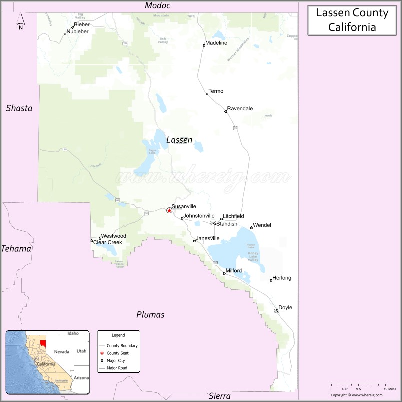
| Seat: | Susanville |
| Largest city: | Susanville |
| Total Area: | 4,720 sq mi (12,200 km²) |
| Land Area: | 4,541 sq mi (11,760 km²) |
| Total Population: | 32,730 |
| Population Density: | 6.9/sq mi (2.7/km²) |
| Time zone: | UTC-8 (Pacific Time Zone) |
| Summer Time Zone (DST): | UTC-7 (Pacific Daylight Time) |
| Website: | www.co.lassen.ca.us |
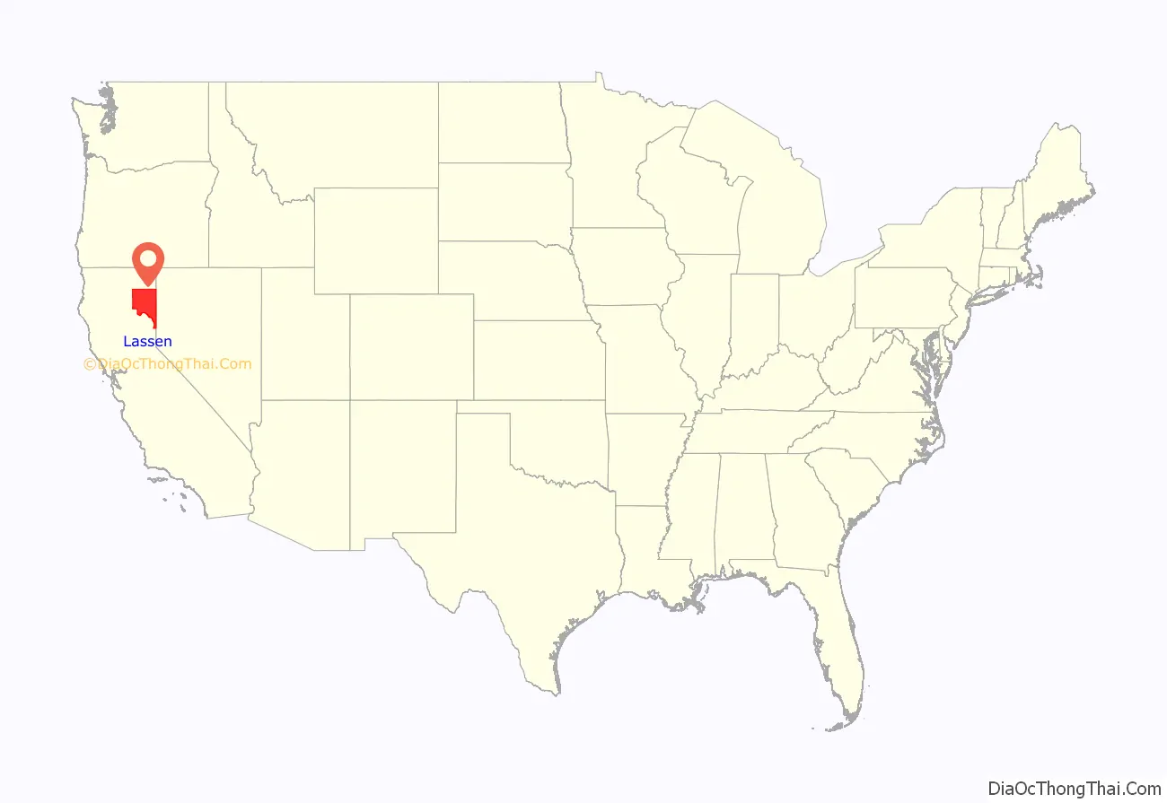
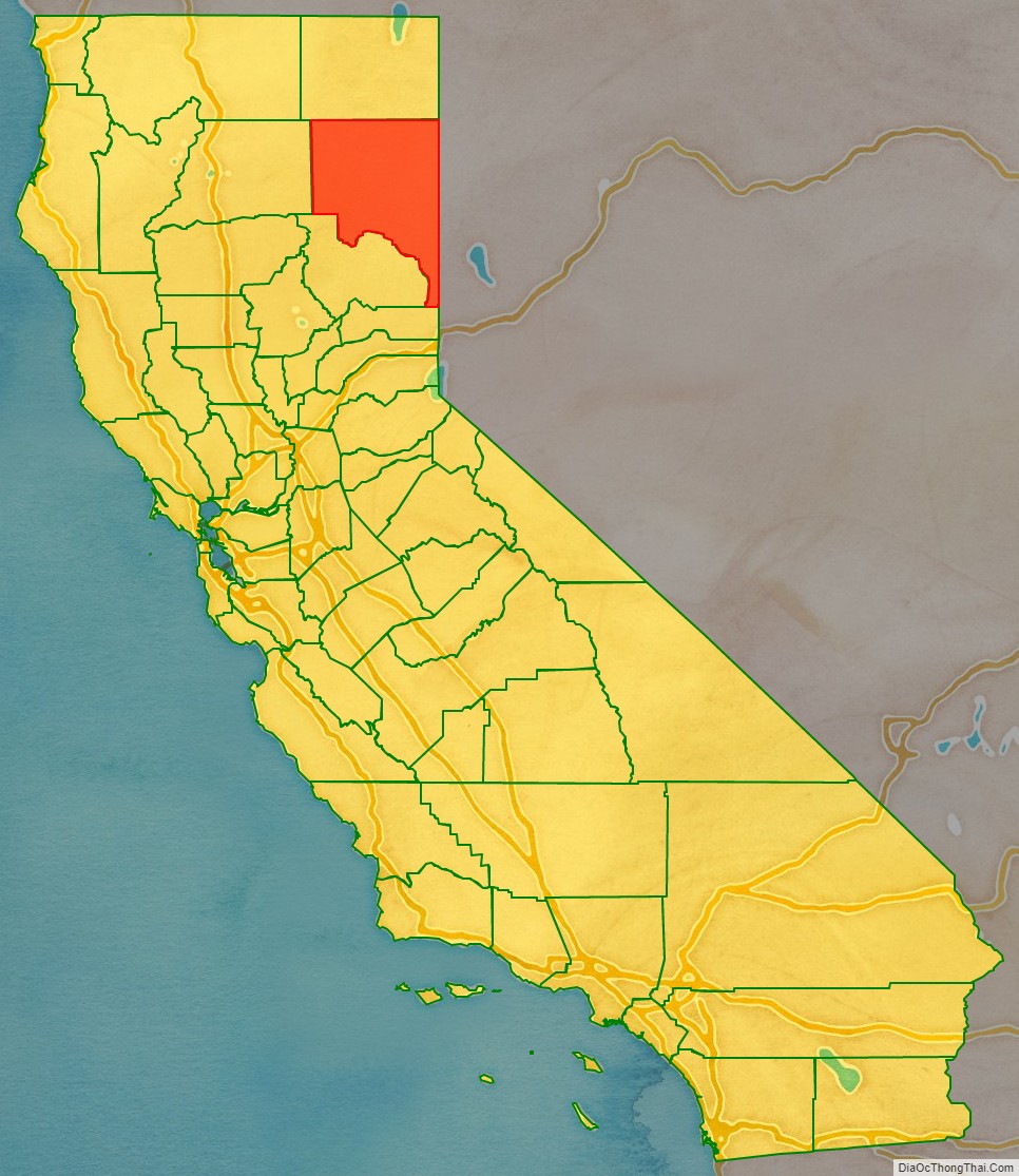
Lassen County location map. Where is Lassen County?
History
Lassen County was formed on April 1, 1864, from parts of Plumas and Shasta counties following the two-day conflict known as the Sagebrush War, also called the Roop County War, that started on February 15, 1863. Due to uncertainties over the California border, the area that is now Lassen County was part of the unofficial Nataqua Territory and Roop County, Nevada, during the late 1850s and early 1860s.
The county was named by California after Peter Lassen, along with Lassen Peak, which is in adjoining Shasta County. Lassen was one of General John C. Fremont’s guides, and a famous trapper, frontiersman, and Indian fighter. He was murdered under mysterious circumstances near the Black Rock Desert in 1859, and his murder was never solved.
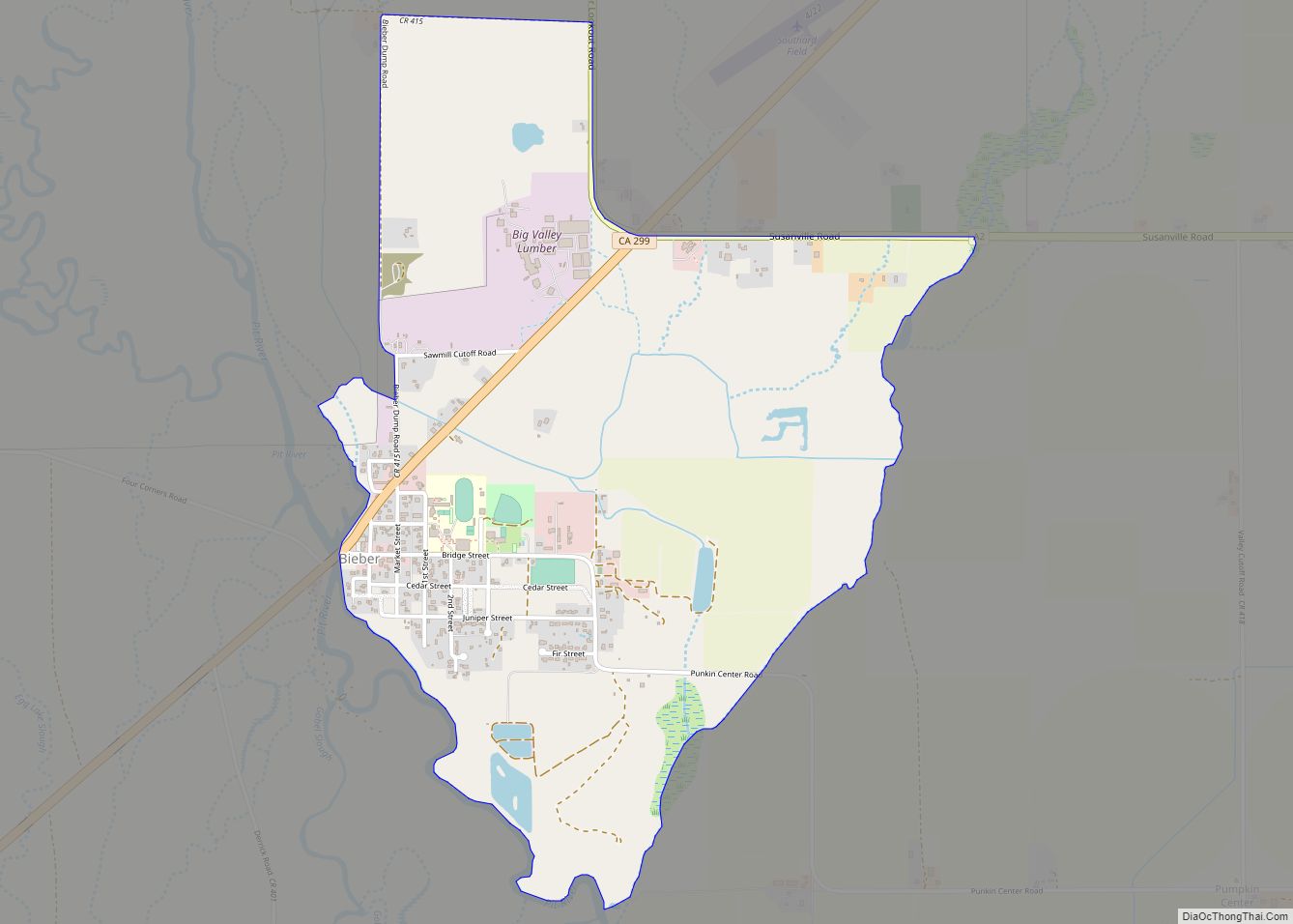
By the 1880s small towns began to spring up all over Lassen County. Bieber developed at the north end of the county, in rich farm land. Gold was discovered at Hayden Hill, and the small town developed to support the miners. Hayden Hill no longer exists: when the mining stopped, the townspeople left for other communities. Madeline was formed at the north end of another rich farming valley, and along the railroad tracks heading north to Alturas, California. This community still has about 50 people living in and around the town. In the 1890s many immigrant family groups arrived in the county, primarily coming from Lincolnshire and Herefordshire, England as well as the towns of Belgrade, Novi Sad, Niš and Kragujevac in Serbia. Several “Yankee” settlers arrived from Waldo County, Maine and Lincoln County, Maine as well.
During World War I, the area was heavily in favor of American entry into the war, and a disproportionate amount of volunteers from Lassen County signed up to take part in the war effort. A pro-German newspaper editor from San Francisco noted that “the inhabitants of Lassen County” were “sympathetic to Britain, hostile to Germany, and indifferent to France.”
A narrow gauge railroad, the Nevada-California-Oregon Railway, ran through Lassen County from 1880 to 1927. The NCOR was the longest small gauge of the century. It was intended to connect Reno, Nevada, to the Columbia River, but only 238 miles (383 km) of track were laid, from Reno to Lakeview, Oregon.
In 1913, the Fernley & Lassen Railroad was built and it was used to export timber from the large forests of Lassen County. As this railroad was completed, the Red River Lumber Company set up shop, building the town of Westwood, California, to support its massive logging operation. Two other lumber mills followed the Red River Lumber Co. They built their mills in the county seat of Susanville. The Lassen Lumber and Box Company and the Fruit Growers Company both operated mills in Susanville for several decades.
In 2003, Anderson-based Sierra Pacific Industries announced plans to relocate or lay off 150 workers as they closed the last lumber mill in Susanville due to the lack of large timber for the mill. Sierra Pacific chose to close the mill permanently rather than spend the several million dollars required to convert the mill from large to small timber.
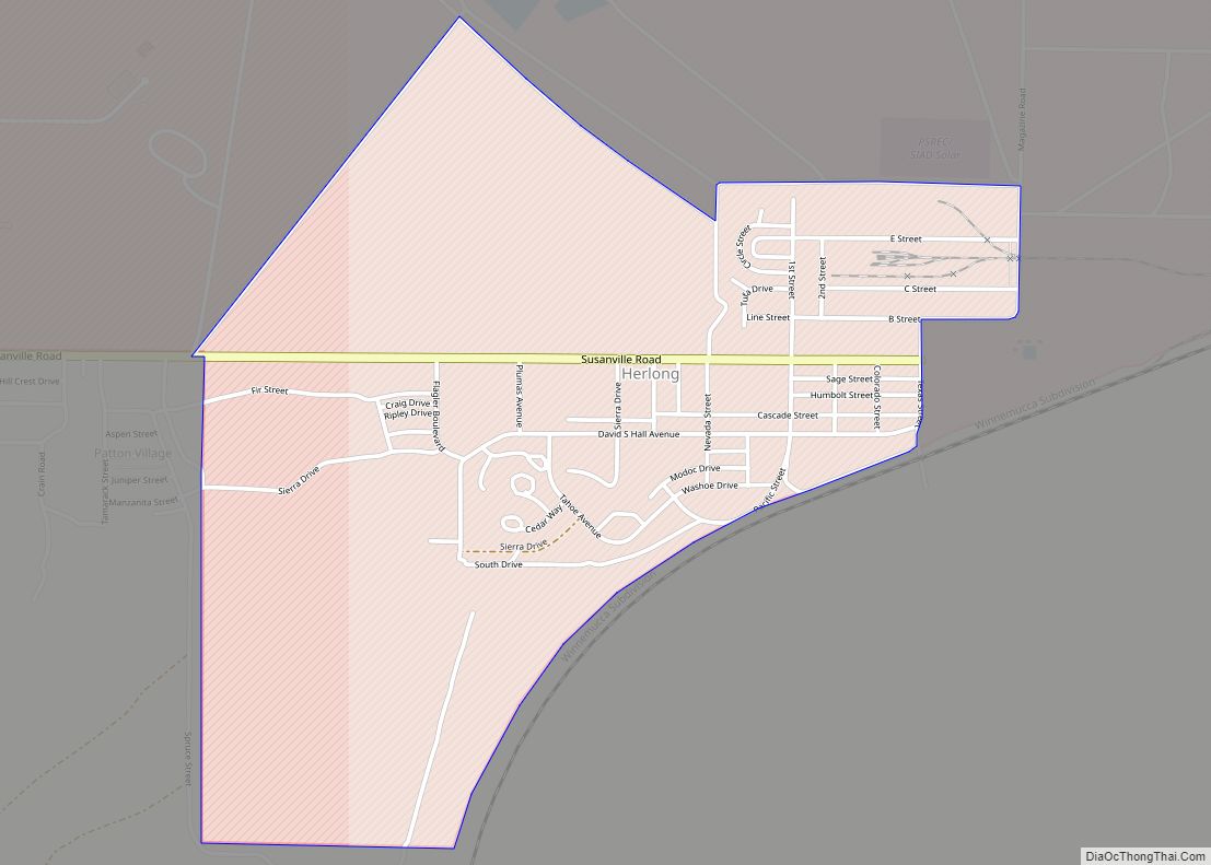
Since the late 20th century, three prisons have been opened in and near Susanville: California Correctional Center (minimum security, 1963) and High Desert State Prison (California) (maximum security, 1995), both in the city; and the nearby Federal Correctional Institution, Herlong (opened 2007). In 2007, half the adults in Susanville worked in one of the three prisons. In “job-starved rural America, … residents see them [prisons] as the last and only chance for employment after work at the lumber mill or the dairy dries up.”
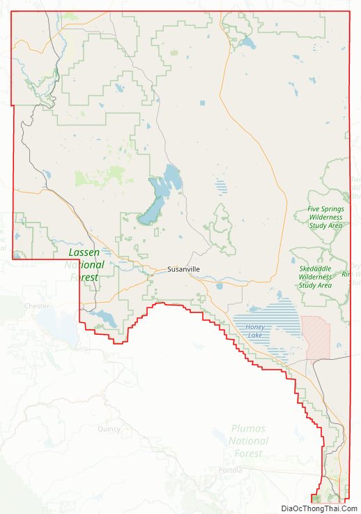
Lassen County Road Map
Geography
According to the U.S. Census Bureau, the county has a total area of 4,720 square miles (12,200 km), of which 4,541 square miles (11,760 km) is land and 179 square miles (460 km) (3.8%) is water. Part of Lassen Volcanic National Park extends onto a western corner of the county.
Adjacent counties
- Modoc County, California – north
- Washoe County, Nevada – east
- Sierra County, California – southeast
- Plumas County, California – south
- Shasta County, California – west
National protected areas
- Lassen National Forest (part)
- Lassen Volcanic National Park (part)
- Modoc National Forest (part)
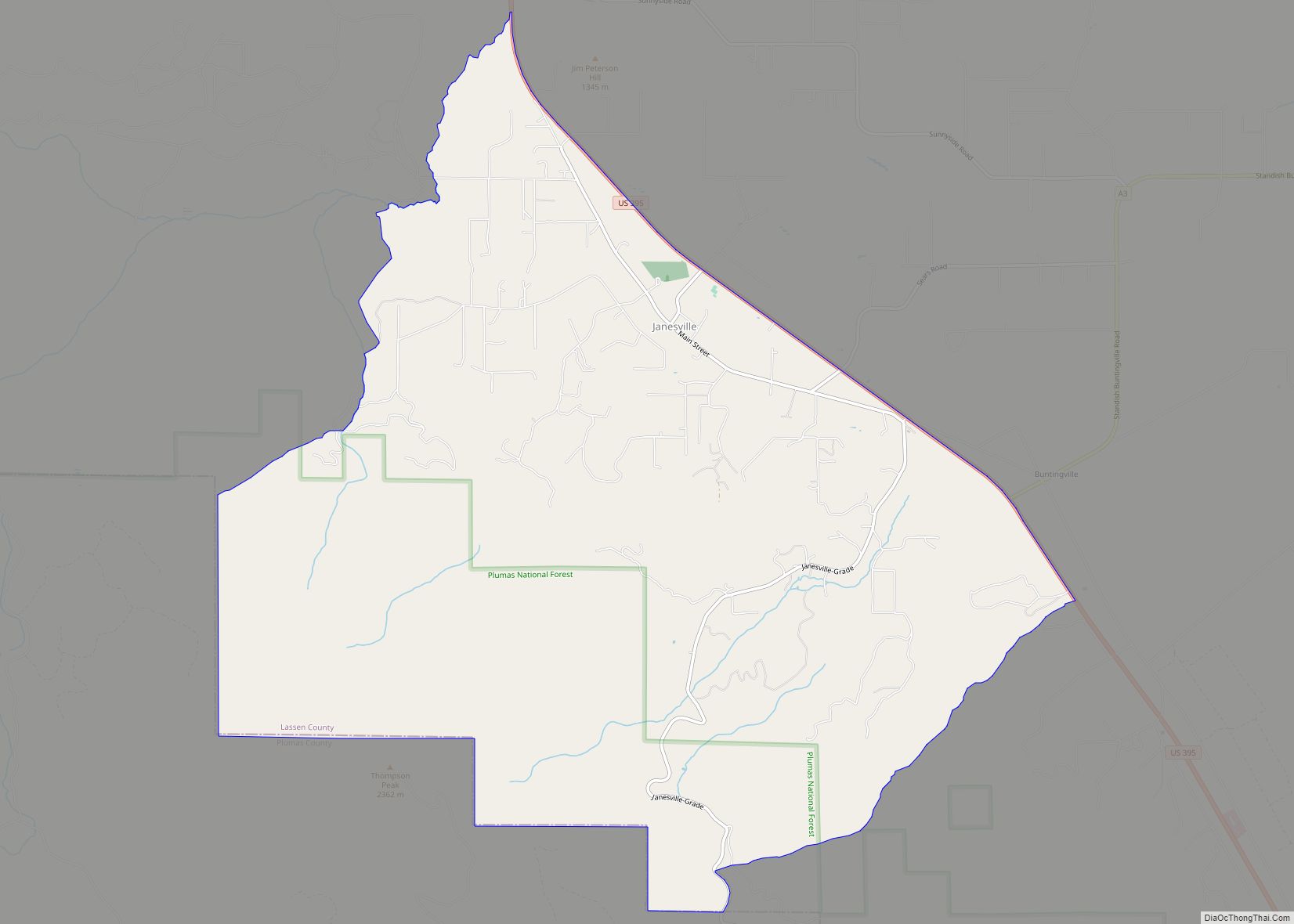
- Plumas National Forest (part)
- Toiyabe National Forest (part)
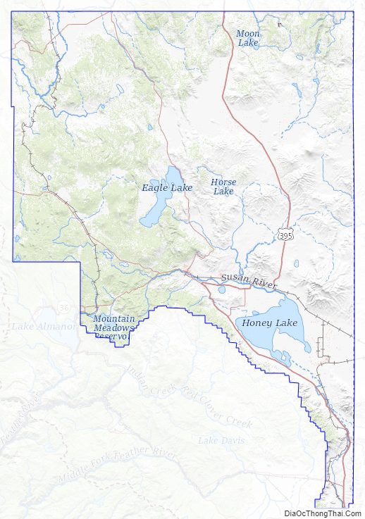
Lassen County Topographic Map
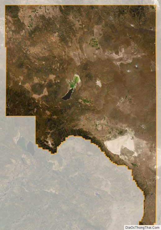
Lassen County Satellite Map
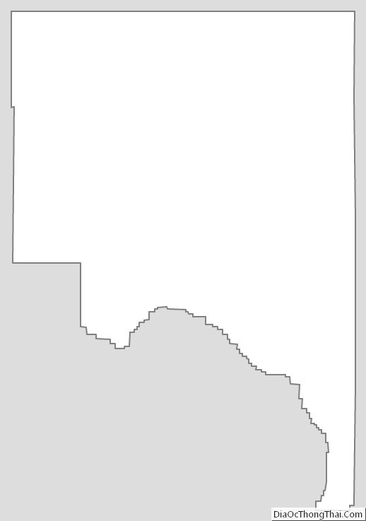
Lassen County Outline Map