Pickett County is a county located in the U.S. state of Tennessee. As of the 2020 census, the population was 5,001, making it the least populous county in Tennessee. Its county seat is Byrdstown. The city of Byrdstown and the Kentucky town of Albany, 11 miles (18 km) to the northeast, are positioned between two Army Corps of Engineers lakes: Dale Hollow Lake, mainly in Tennessee, and Lake Cumberland, in Kentucky. The area is known as “Twin Lakes” and Byrdstown is noted as “The Gateway To Dale Hollow Lake”. Every year thousands of people vacation at the many resorts situated along the lakes.
| Name: | Pickett County |
|---|---|
| FIPS code: | 47-137 |
| State: | Tennessee |
| Founded: | 1879 |
| Named for: | Howard L. Pickett, state legislator |
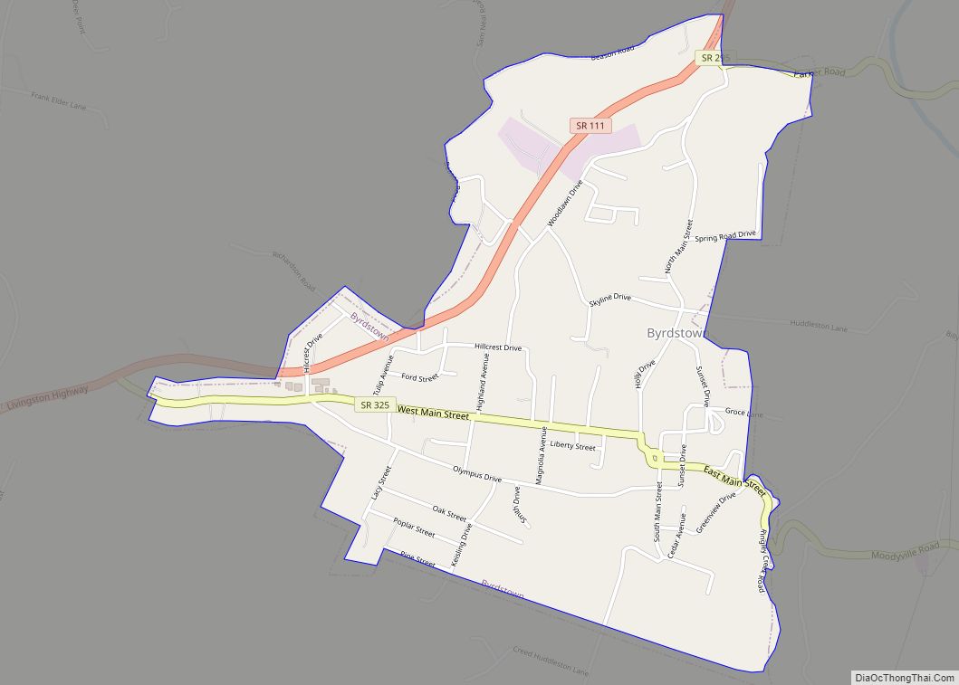
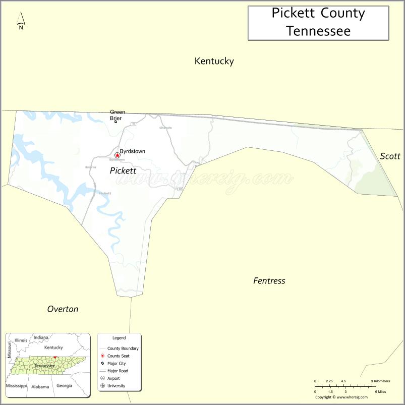
| Seat: | Byrdstown |
| Largest town: | Byrdstown |
| Total Area: | 174 sq mi (450 km²) |
| Land Area: | 163 sq mi (420 km²) |
| Total Population: | 5,001 |
| Population Density: | 31/sq mi (12/km²) |
| Time zone: | UTC−6 (Central) |
| Summer Time Zone (DST): | UTC−5 (CDT) |
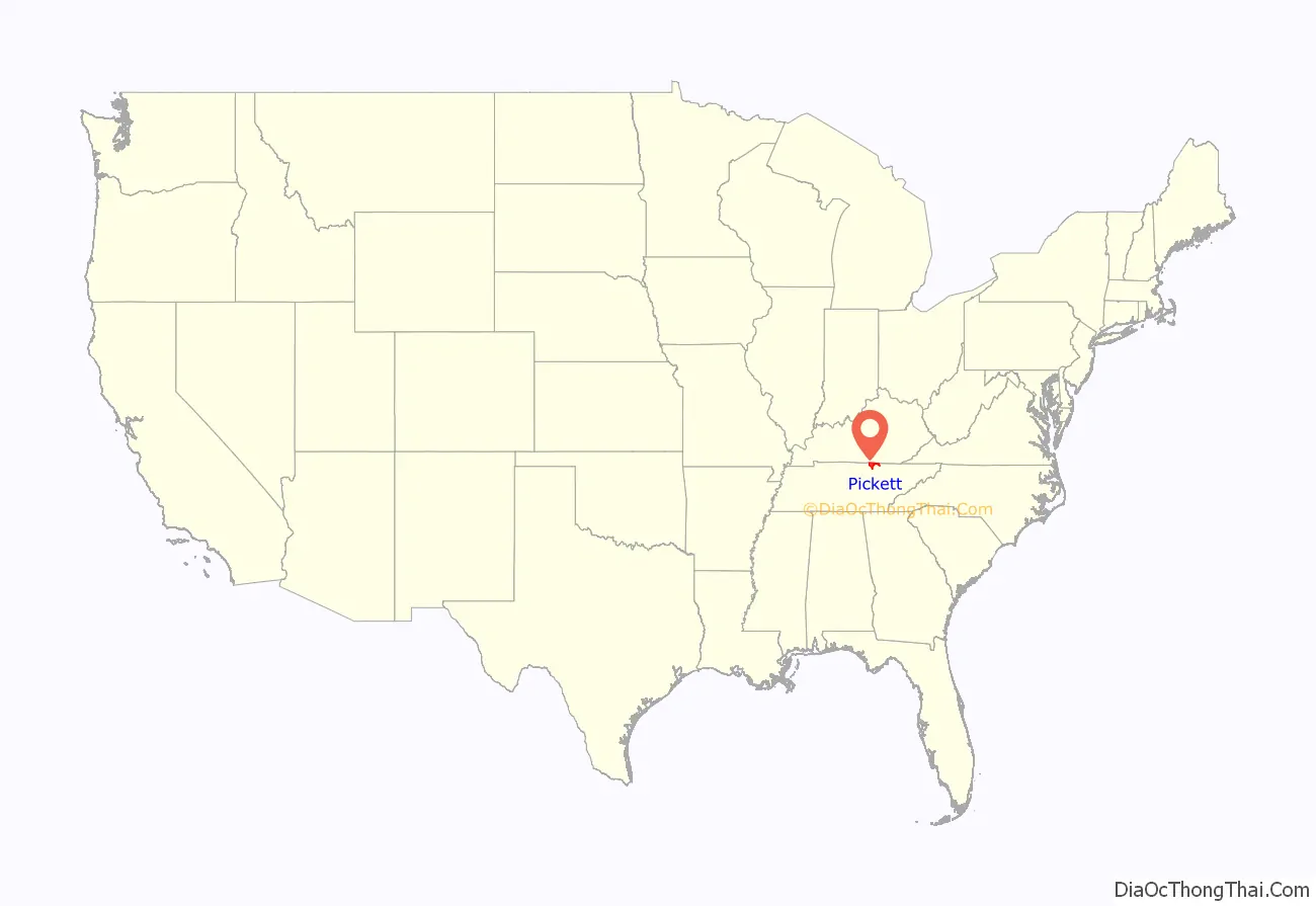
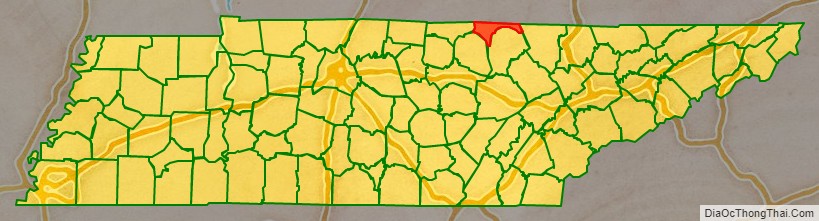
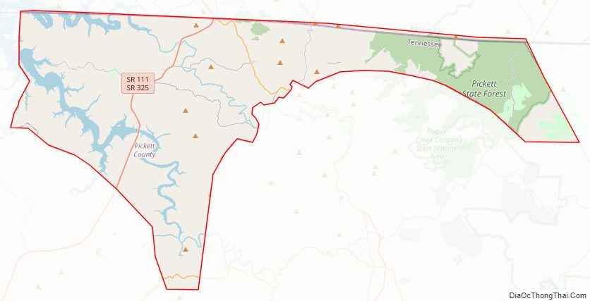
Pickett County location map. Where is Pickett County?
History
Pickett County was created in 1879 from sections of Overton and Fentress counties. It was named for Howell Lester Pickett (1847 – 1914), a member of the state legislature representing Wilson County who had been instrumental in the county’s formation. Nobel Peace Prize winner Cordell Hull had been born in one of the parcels of land set aside to create the new county. Hull would be honored for his role in organizing the World War II diplomatic alliance that became the United Nations.
Pickett County Road Map
Geography
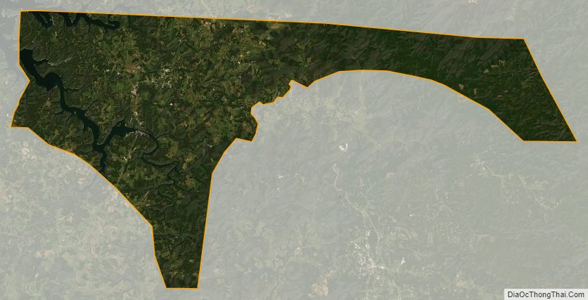
According to the U.S. Census Bureau, the county has a total area of 174 square miles (450 km), of which 163 square miles (420 km) is land and 12 square miles (31 km) (6.6%) is water. It is the fourth-smallest county in Tennessee by land area and third-smallest by total area. The eastern part of the county, much of which is part of Pickett State Forest, lies atop the Cumberland Plateau, while the western, more populated half is located on the Highland Rim. The Wolf River and the Obey River, the lower parts of which are part of Dale Hollow Lake, pass through the county. The rivers converge just west of the county’s border with Clay County.
Streams in the far eastern section of the county are part of the watershed of the Big South Fork of the Cumberland River.
Adjacent counties
- Wayne County, Kentucky (northeast/EST Border)
- Scott County (east/EST Border)
- Fentress County (southeast)
- Overton County (southwest)
- Clay County (west)
- Clinton County, Kentucky (north)
National protected area
- Big South Fork National River and Recreation Area (very small part)
State protected areas
- Cordell Hull Birthplace State Park
- Honey Creek State Natural Area
- Pickett State Forest (part)
- Pickett CCC Memorial State Park
- Twin Arches State Natural Area (part)
Highways
- US 127
- SR 111
- SR 154
- SR 295
- SR 325
Pickett County Topographic Map
Pickett County Satellite Map
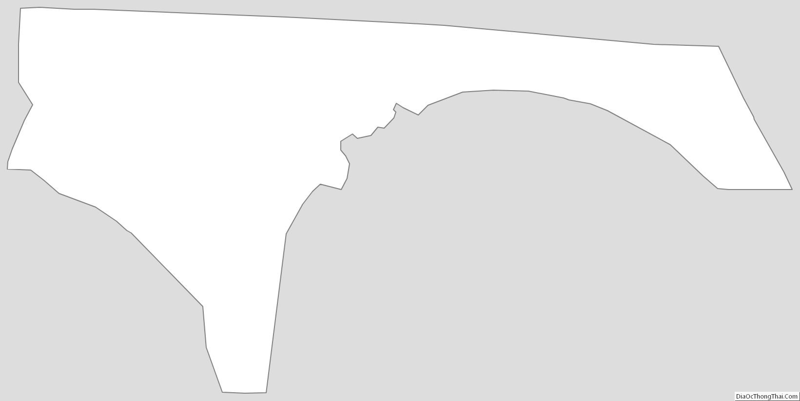
Pickett County Outline Map