Monticello is city in Wayne County, Kentucky, in the United States. It is the seat of its county. The population was 6,188 at the time of the 2010 U.S. census.
Monticello claims to be “The Houseboat Capital of the World” as there are numerous houseboat manufacturers in the city. The city is located along Lake Cumberland. Its economy is built on serving the recreational and tourist traffic to the lake.
| Name: | Monticello city |
|---|---|
| LSAD Code: | 25 |
| LSAD Description: | city (suffix) |
| State: | Kentucky |
| County: | Wayne County |
| Incorporated: | 1801 |
| Elevation: | 922 ft (281 m) |
| Total Area: | 6.13 sq mi (15.88 km²) |
| Land Area: | 6.09 sq mi (15.77 km²) |
| Water Area: | 0.04 sq mi (0.11 km²) |
| Total Population: | 5,753 |
| Population Density: | 944.66/sq mi (364.76/km²) |
| ZIP code: | 42633 |
| Area code: | 606 |
| FIPS code: | 2153130 |
| GNISfeature ID: | 0498514 |
| Website: | www.monticelloky.gov |
Online Interactive Map
Click on ![]() to view map in "full screen" mode.
to view map in "full screen" mode.
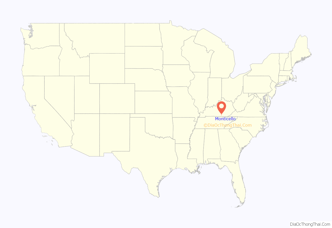
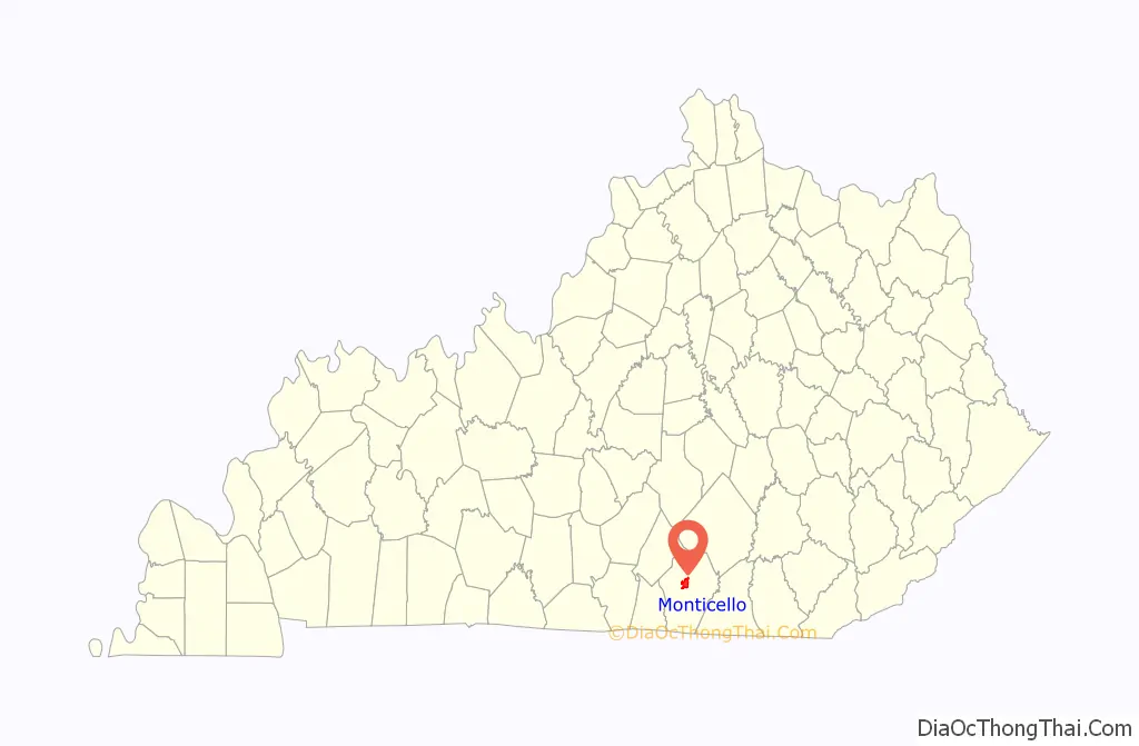
Monticello location map. Where is Monticello city?
History
Monticello was designated as the county seat when the Wayne County was formed in 1800. The first Wayne County Clerk, Micah Taul, named the town after Thomas Jefferson’s plantation and home, who was elected President of the United States that year. Joshua Jones, a surveyor and Revolutionary War veteran, laid out the town on thirteen acres owned by William Beard. By 1810, the population numbered twenty-seven.
In the late 1800s, oil was discovered in Wayne County, creating an economic boost. Drilling began in these local oil fields in the 1880s and was renewed in 1921, and 1922.
Electricity was introduced to the city in 1905. City water was installed in 1929. Manufacturing dominated the economy from the late 1950s and 1960s until the late 20th and early 21st century.
In 1973, Belden Corporation (wire and cable) employed 300 people; Gamble Brothers (wood products) employed 161 people; Waterbury Garment (clothing) employed 271 people; and Monticello Manufacturing (clothing) employed 240 people. Each of these companies has left Monticello.
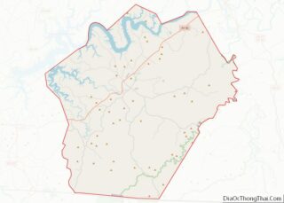
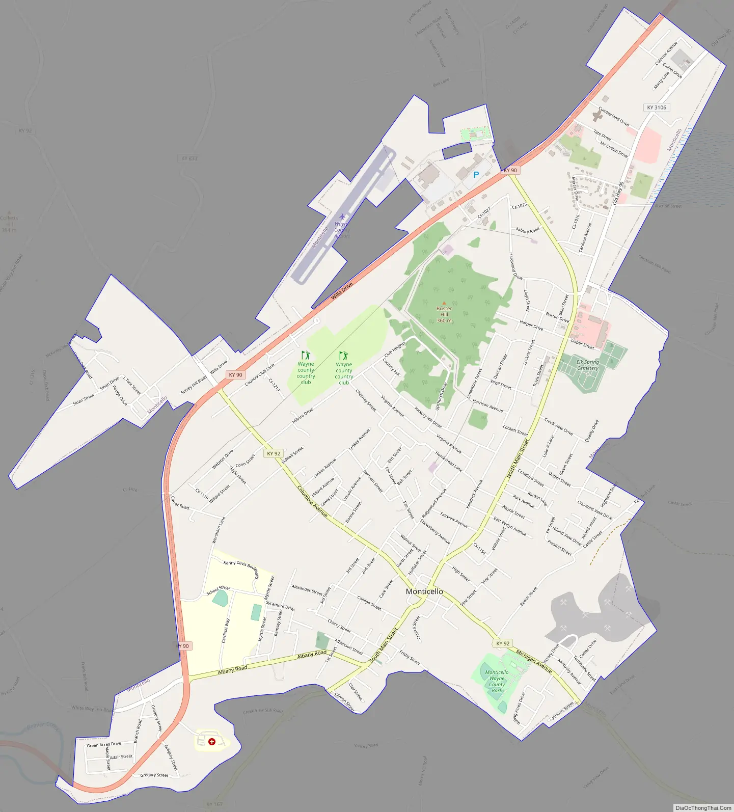
Monticello Road Map
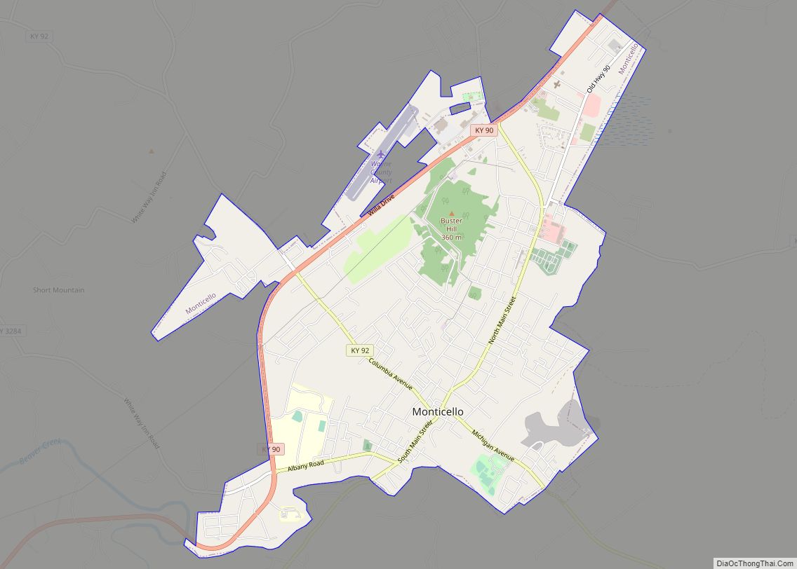
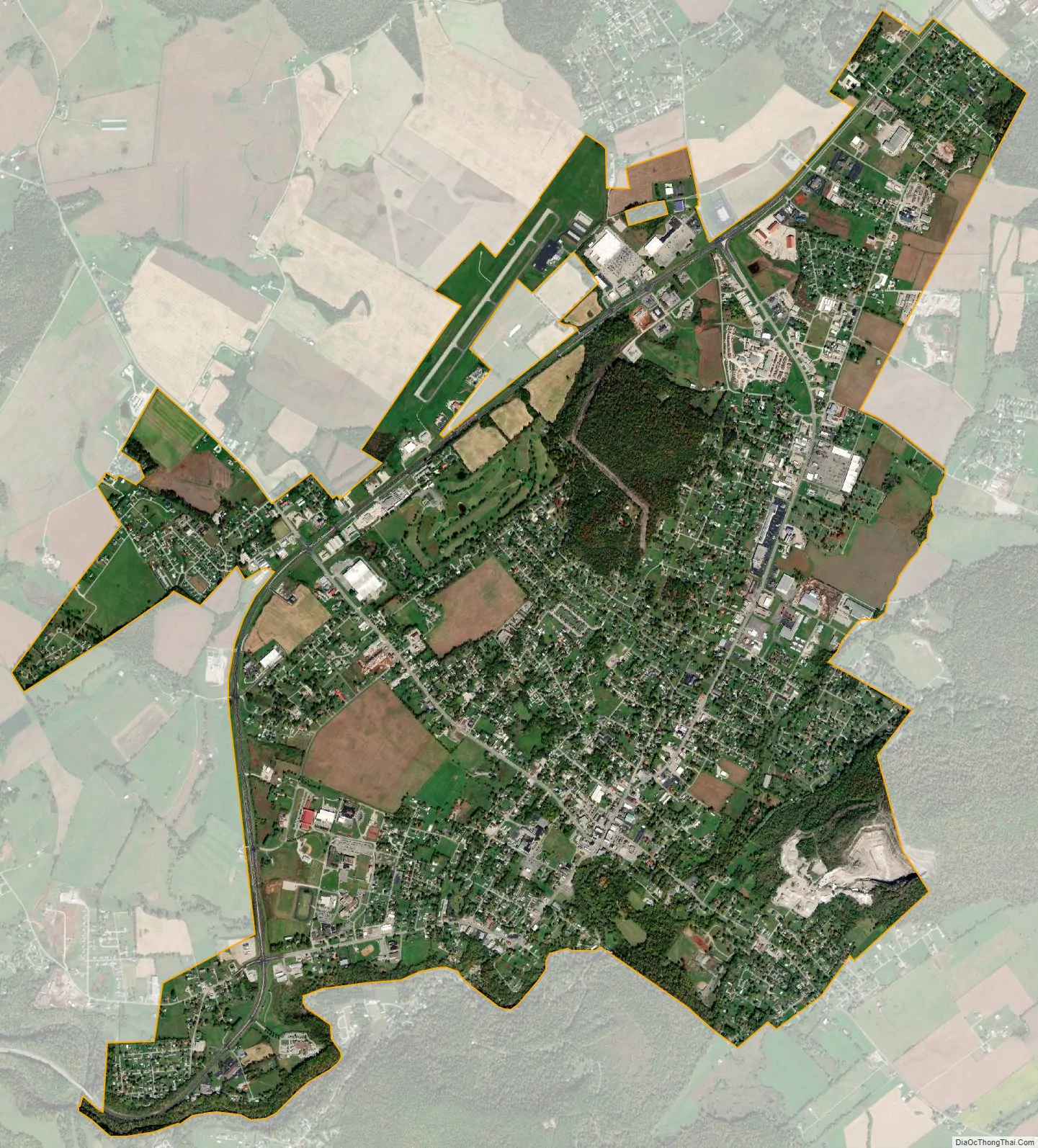
Monticello city Satellite Map
Geography
Monticello is located at 36°50′17″N 84°51′0″W / 36.83806°N 84.85000°W / 36.83806; -84.85000 (36.838194, -84.850022). According to the United States Census Bureau, the city has a total area of 6.1 square miles (16 km), all land.
Monticello is located near the center of Wayne County, along Elk Creek, a tributary of Beaver Creek, which flows westward into Lake Cumberland. State highways 92, 90, and 167, were constructed to intersect at the county seat.
See also
Map of Kentucky State and its subdivision:- Adair
- Allen
- Anderson
- Ballard
- Barren
- Bath
- Bell
- Boone
- Bourbon
- Boyd
- Boyle
- Bracken
- Breathitt
- Breckinridge
- Bullitt
- Butler
- Caldwell
- Calloway
- Campbell
- Carlisle
- Carroll
- Carter
- Casey
- Christian
- Clark
- Clay
- Clinton
- Crittenden
- Cumberland
- Daviess
- Edmonson
- Elliott
- Estill
- Fayette
- Fleming
- Floyd
- Franklin
- Fulton
- Gallatin
- Garrard
- Grant
- Graves
- Grayson
- Green
- Greenup
- Hancock
- Hardin
- Harlan
- Harrison
- Hart
- Henderson
- Henry
- Hickman
- Hopkins
- Jackson
- Jefferson
- Jessamine
- Johnson
- Kenton
- Knott
- Knox
- Larue
- Laurel
- Lawrence
- Lee
- Leslie
- Letcher
- Lewis
- Lincoln
- Livingston
- Logan
- Lyon
- Madison
- Magoffin
- Marion
- Marshall
- Martin
- Mason
- McCracken
- McCreary
- McLean
- Meade
- Menifee
- Mercer
- Metcalfe
- Monroe
- Montgomery
- Morgan
- Muhlenberg
- Nelson
- Nicholas
- Ohio
- Oldham
- Owen
- Owsley
- Pendleton
- Perry
- Pike
- Powell
- Pulaski
- Robertson
- Rockcastle
- Rowan
- Russell
- Scott
- Shelby
- Simpson
- Spencer
- Taylor
- Todd
- Trigg
- Trimble
- Union
- Warren
- Washington
- Wayne
- Webster
- Whitley
- Wolfe
- Woodford
- Alabama
- Alaska
- Arizona
- Arkansas
- California
- Colorado
- Connecticut
- Delaware
- District of Columbia
- Florida
- Georgia
- Hawaii
- Idaho
- Illinois
- Indiana
- Iowa
- Kansas
- Kentucky
- Louisiana
- Maine
- Maryland
- Massachusetts
- Michigan
- Minnesota
- Mississippi
- Missouri
- Montana
- Nebraska
- Nevada
- New Hampshire
- New Jersey
- New Mexico
- New York
- North Carolina
- North Dakota
- Ohio
- Oklahoma
- Oregon
- Pennsylvania
- Rhode Island
- South Carolina
- South Dakota
- Tennessee
- Texas
- Utah
- Vermont
- Virginia
- Washington
- West Virginia
- Wisconsin
- Wyoming