| Name: | Wheeler County |
|---|---|
| FIPS code: | 48-483 |
| State: | Texas |
| Founded: | 1879 |
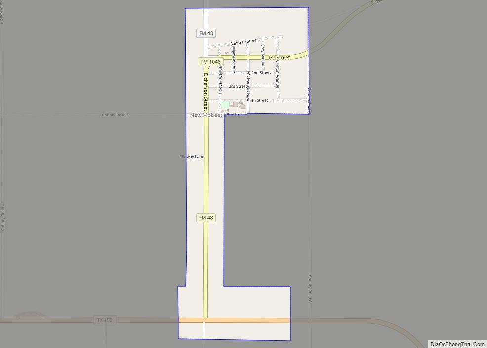
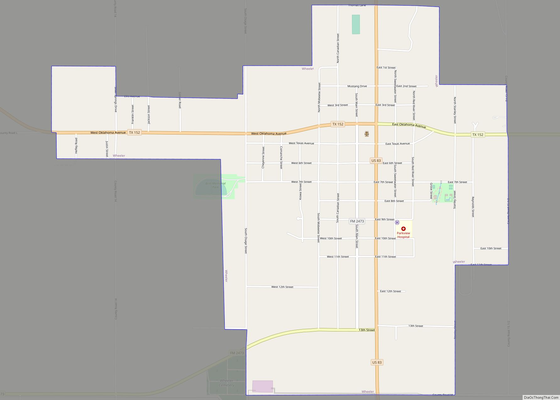
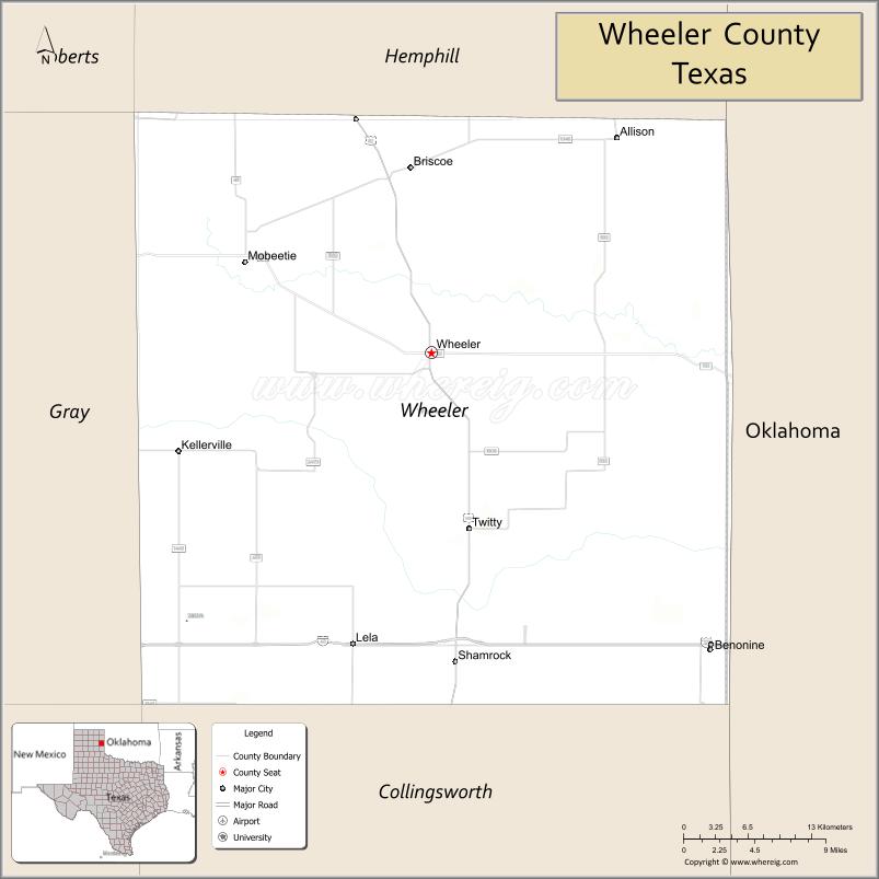
| Seat: | Wheeler |
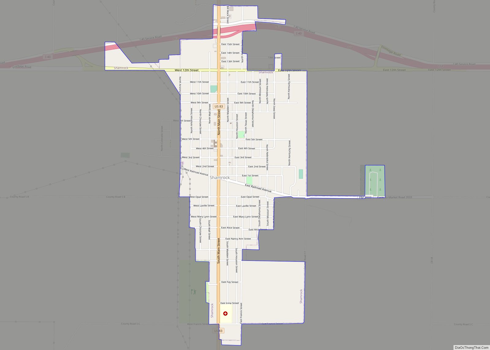
| Largest city: | Shamrock |
| Total Area: | 915 sq mi (2,370 km²) |
| Land Area: | 915 sq mi (2,370 km²) |
| Total Population: | 4,990 |
| Population Density: | 5.5/sq mi (2.1/km²) |
| Time zone: | UTC−6 (Central) |
| Summer Time Zone (DST): | UTC−5 (CDT) |
| Website: | www.co.wheeler.tx.us |
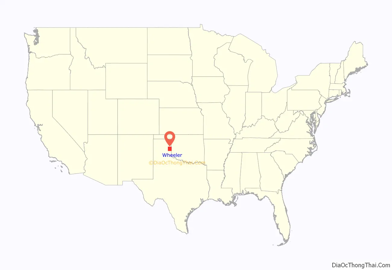
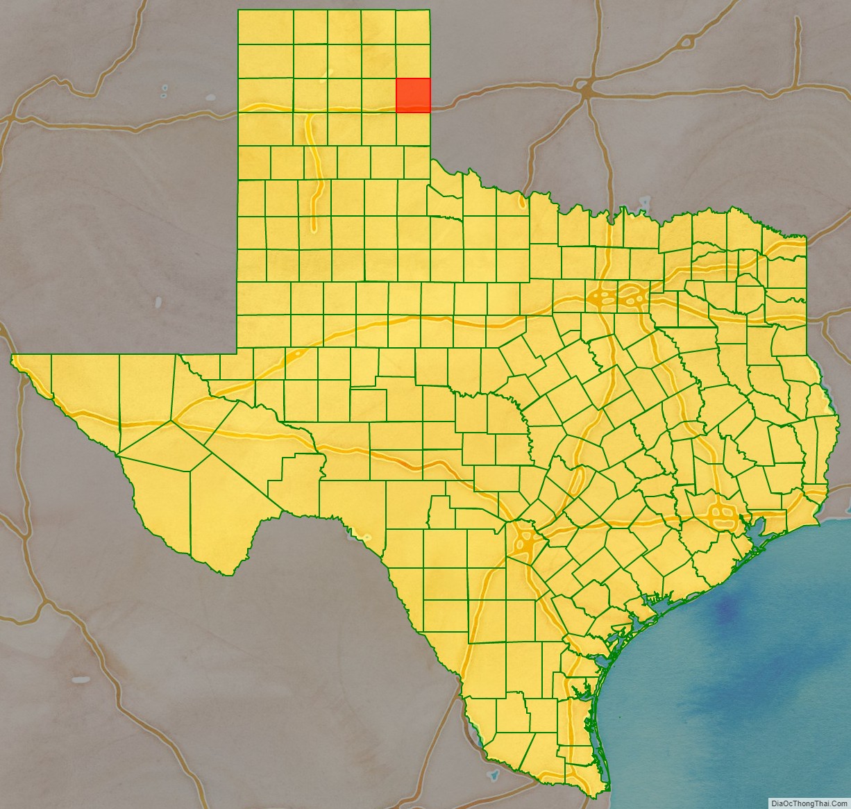
Wheeler County location map. Where is Wheeler County?
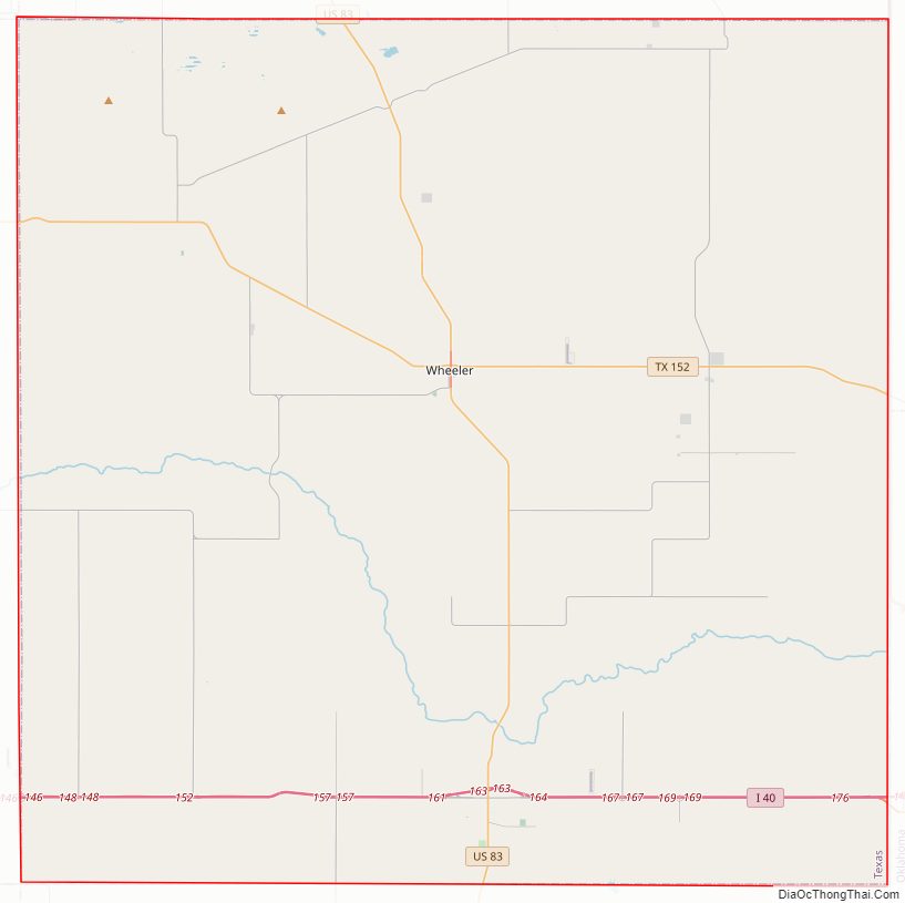
Wheeler County Road Map
Geography
According to the U.S. Census Bureau, the county has a total area of 915 square miles (2,370 km), of which 915 square miles (2,370 km) are land and 1.0 square mile (2.6 km) (0.1%) is covered by water.
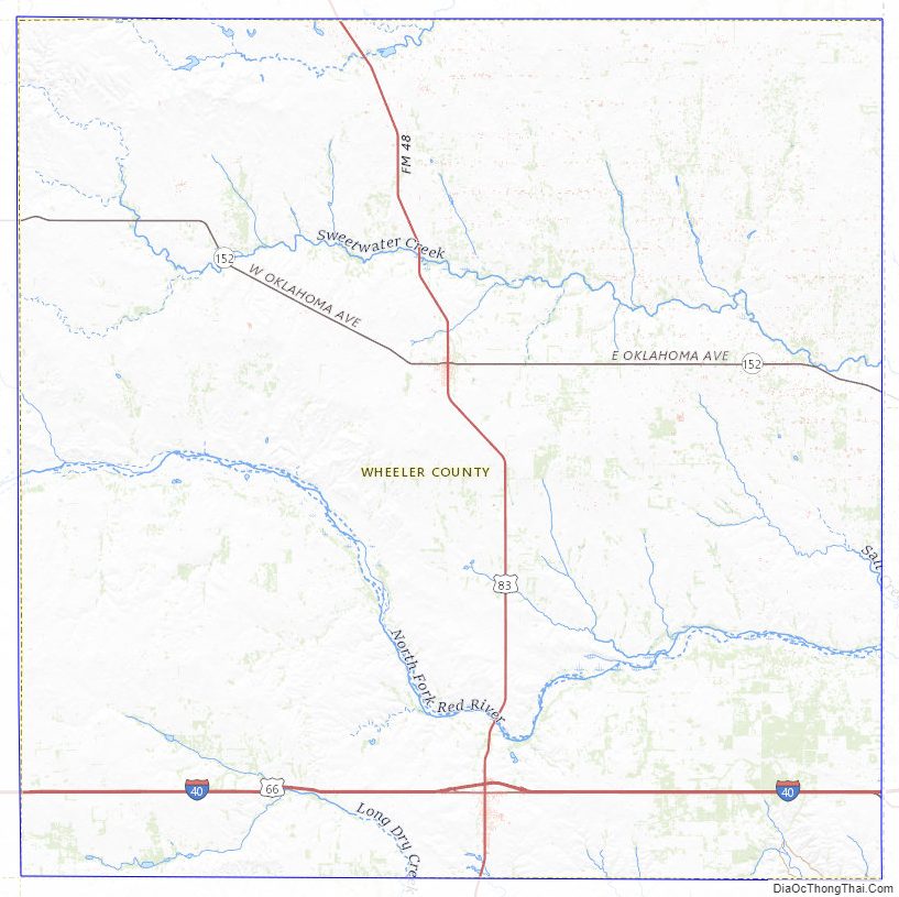
Major highways
- Interstate 40
- U.S. Highway 83
- State Highway 152
U.S. Highway 66 is no longer officially commissioned or signed, but has special brown historic signage at various points along its former routing.
Adjacent counties
- Hemphill County (north)
- Roger Mills County, Oklahoma (northeast)
- Beckham County, Oklahoma (east)
- Collingsworth County (south)
- Gray County (west)
- Donley County (southwest)
- Roberts County (northwest)
Wheeler County Topographic Map
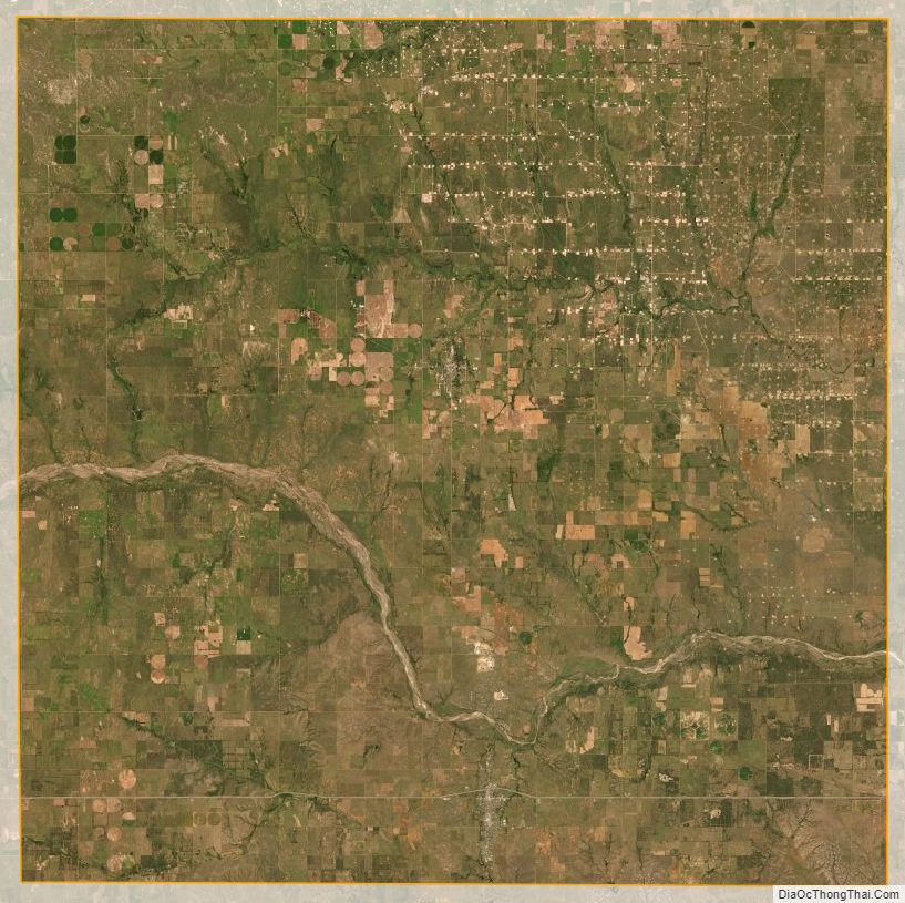
Wheeler County Satellite Map
Wheeler County Outline Map