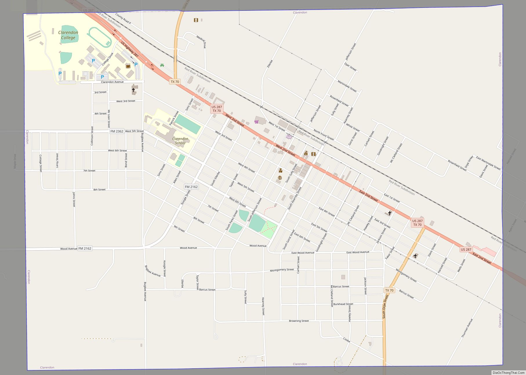
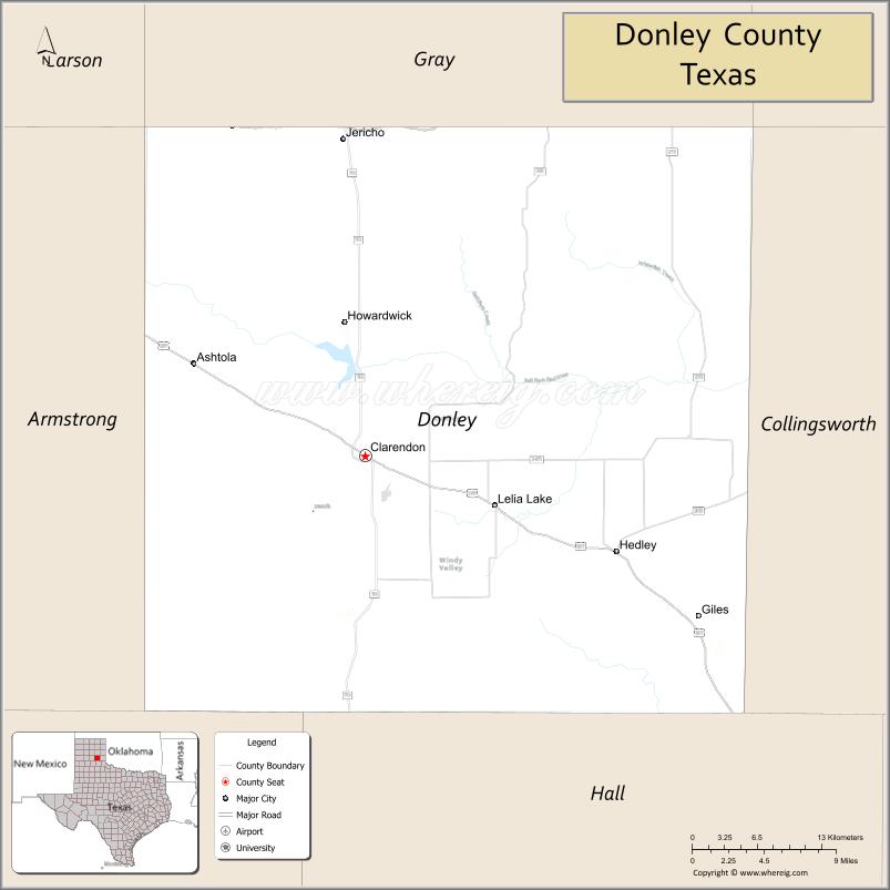
Donley County is a county located in the U.S. state of Texas. As of the 2020 census, its population was 3,258. Its county seat is Clarendon. The county was created in 1876 and later organized in 1882.
| Name: | Donley County |
|---|---|
| FIPS code: | 48-129 |
| State: | Texas |
| Founded: | 1882 |
| Seat: | Clarendon |
| Largest city: | Clarendon |
| Total Area: | 933 sq mi (2,420 km²) |
| Land Area: | 927 sq mi (2,400 km²) |
| Total Population: | 3,258 |
| Population Density: | 3.5/sq mi (1.3/km²) |
| Time zone: | UTC−6 (Central) |
| Summer Time Zone (DST): | UTC−5 (CDT) |
| Website: | www.co.donley.tx.us |
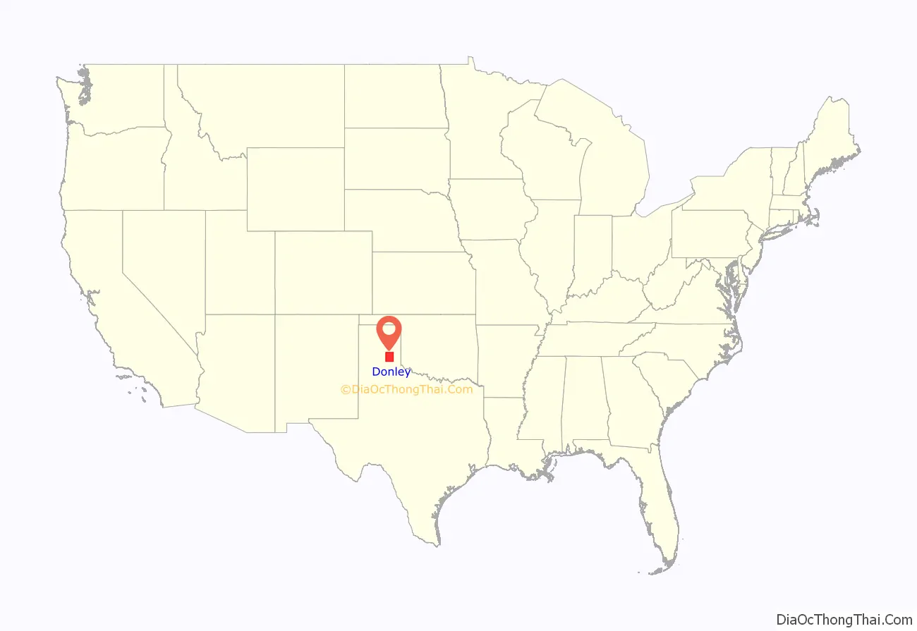
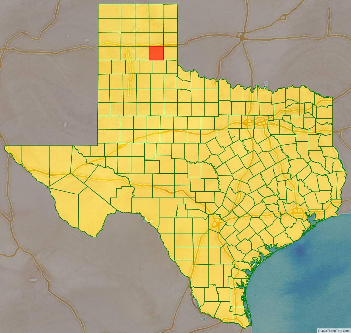
Donley County location map. Where is Donley County?
History
Donley County was established in 1876 from land given by the Bexar District. It is named for Stockton P. Donley, justice of the state supreme court.
Several historical sites are listed on the National Register of Historic Places in Donley County.
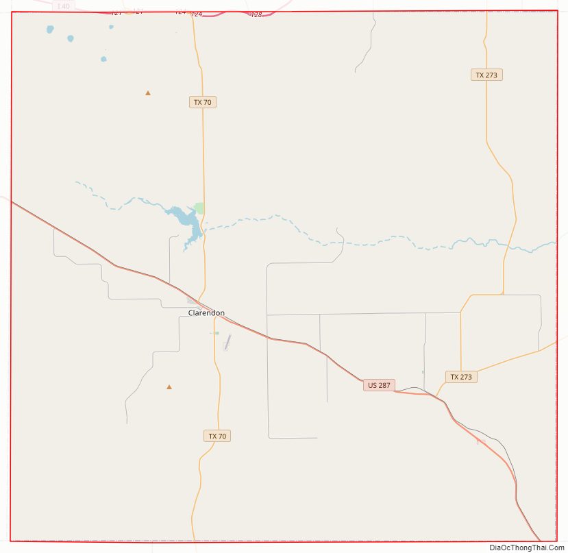
Donley County Road Map
Geography
According to the U.S. Census Bureau, the county has a total land area of 933 sq mi (2,420 km), of which 5.6 sq mi (15 km) (0.7%) are covered by water.
Major highways
- Interstate 40
- U.S. Highway 287
- State Highway 70
- State Highway 273
Adjacent counties
- Gray County (north)
- Wheeler County (northeast)
- Collingsworth County (east)
- Hall County (south)
- Briscoe County (southwest)
- Armstrong County (west)
- Carson County (northwest)
Donley County Topographic Map
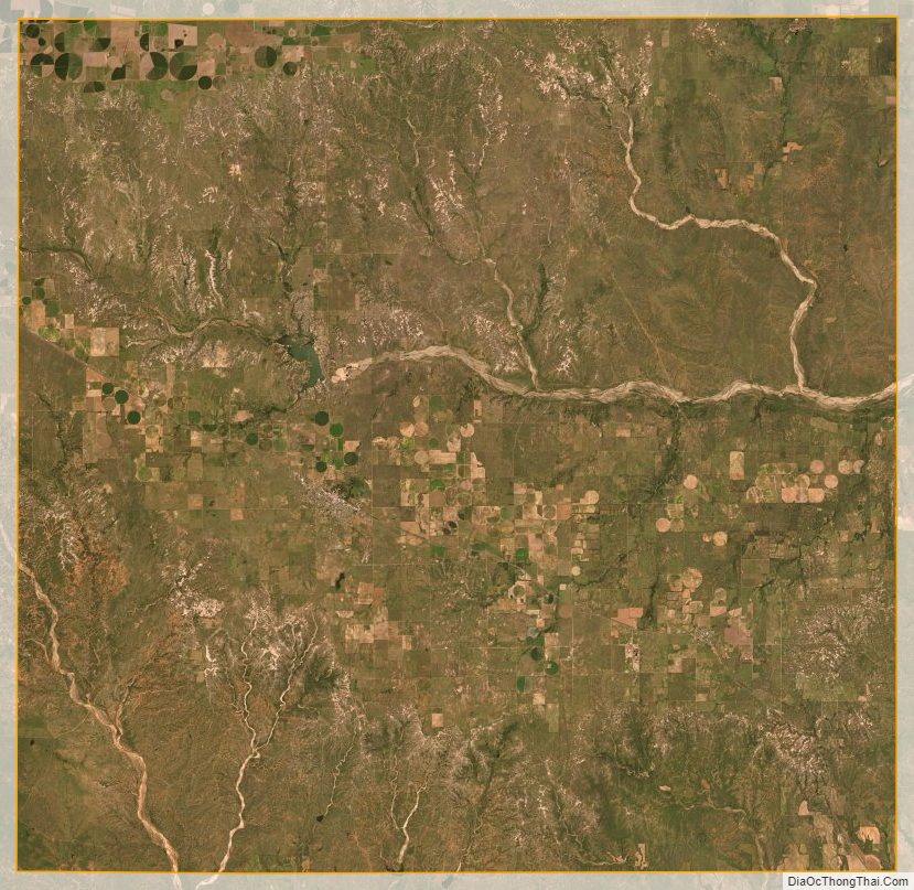
Donley County Satellite Map
Donley County Outline Map