Castalia is a city in Winneshiek County, Iowa, United States. The population was 145 at the 2020 census.
| Name: | Castalia city |
|---|---|
| LSAD Code: | 25 |
| LSAD Description: | city (suffix) |
| State: | Iowa |
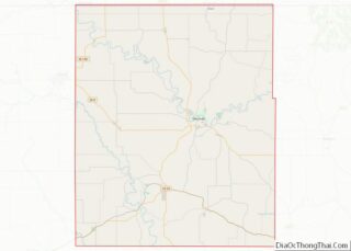
| County: | Winneshiek County |
| Elevation: | 1,247 ft (380 m) |
| Total Area: | 0.58 sq mi (1.50 km²) |
| Land Area: | 0.58 sq mi (1.50 km²) |
| Water Area: | 0.00 sq mi (0.00 km²) |
| Total Population: | 145 |
| Population Density: | 250.87/sq mi (96.90/km²) |
| ZIP code: | 52133 |
| Area code: | 563 |
| FIPS code: | 1911485 |
| GNISfeature ID: | 0455206 |
Online Interactive Map
Click on ![]() to view map in "full screen" mode.
to view map in "full screen" mode.
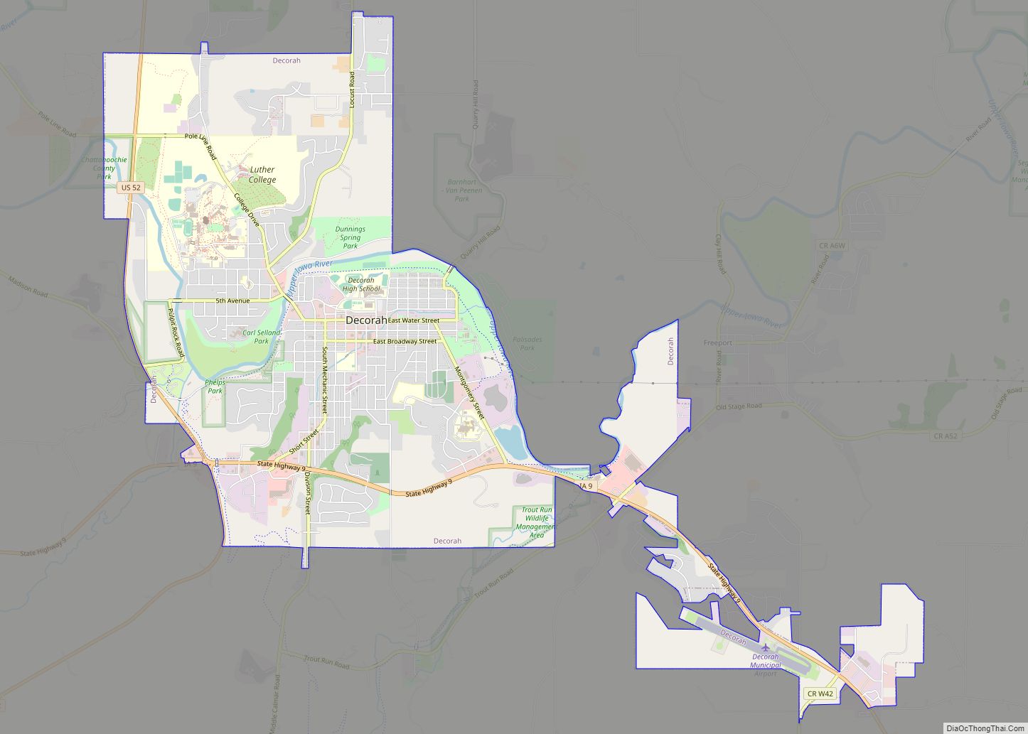
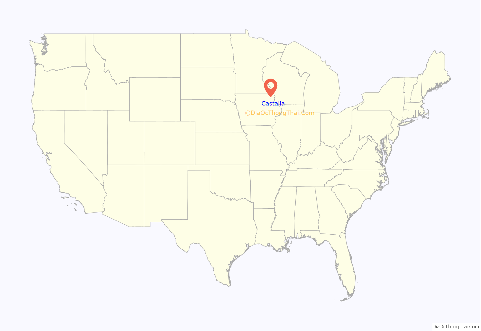
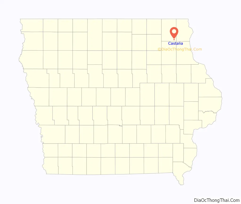
Castalia location map. Where is Castalia city?
History
The city of Castalia was originally called Rattletrap, but during that time it consisted of a solitary trap house. In 1849, it was settled by Hamilton Campbell and his wife, whose descendants inhabit the small city.
The railroad was built through Castalia in 1864. Castalia was incorporated in 1902.
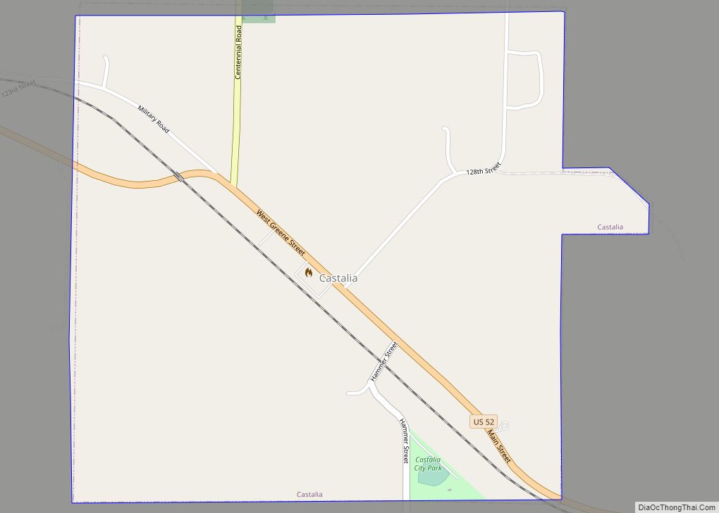
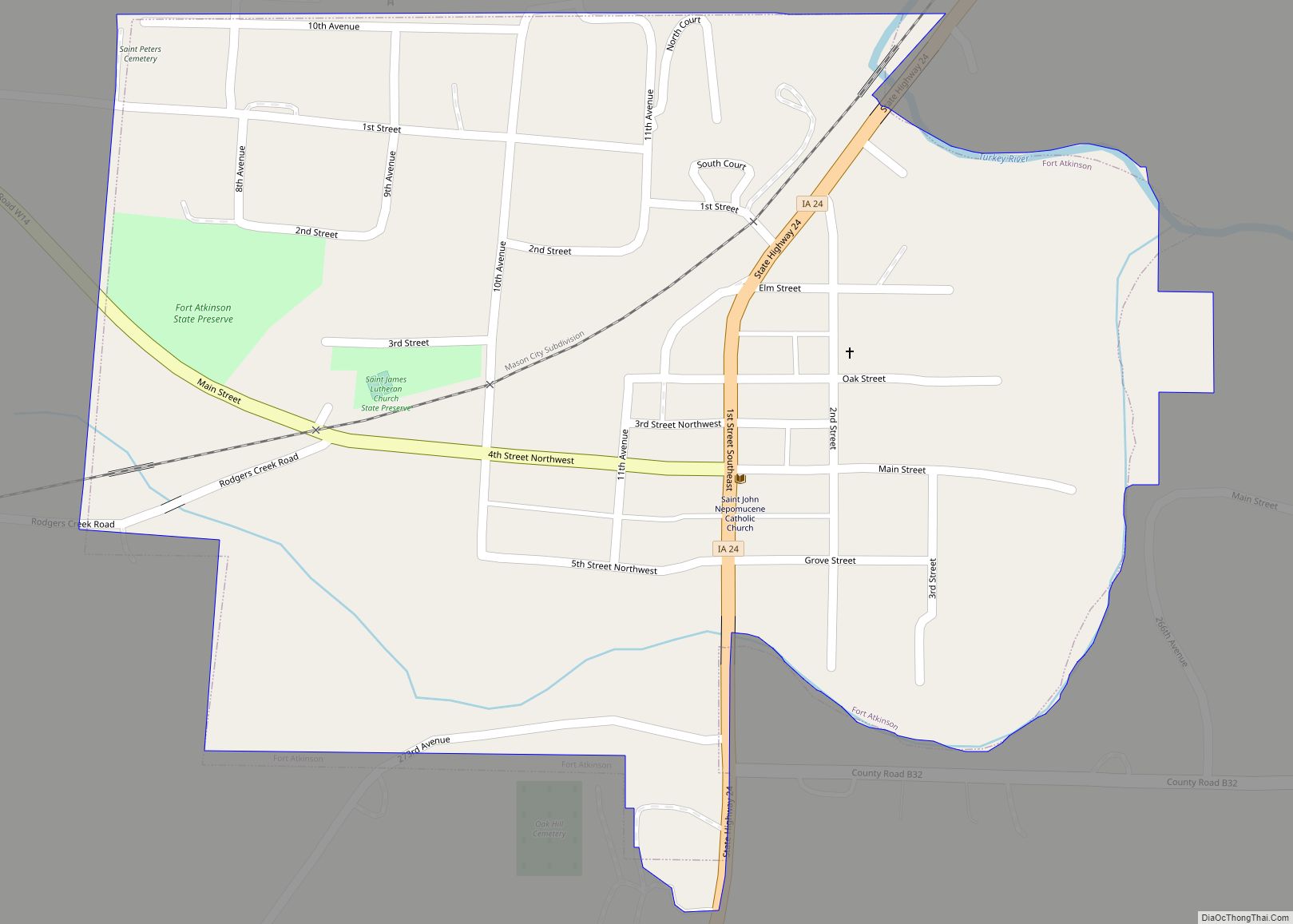
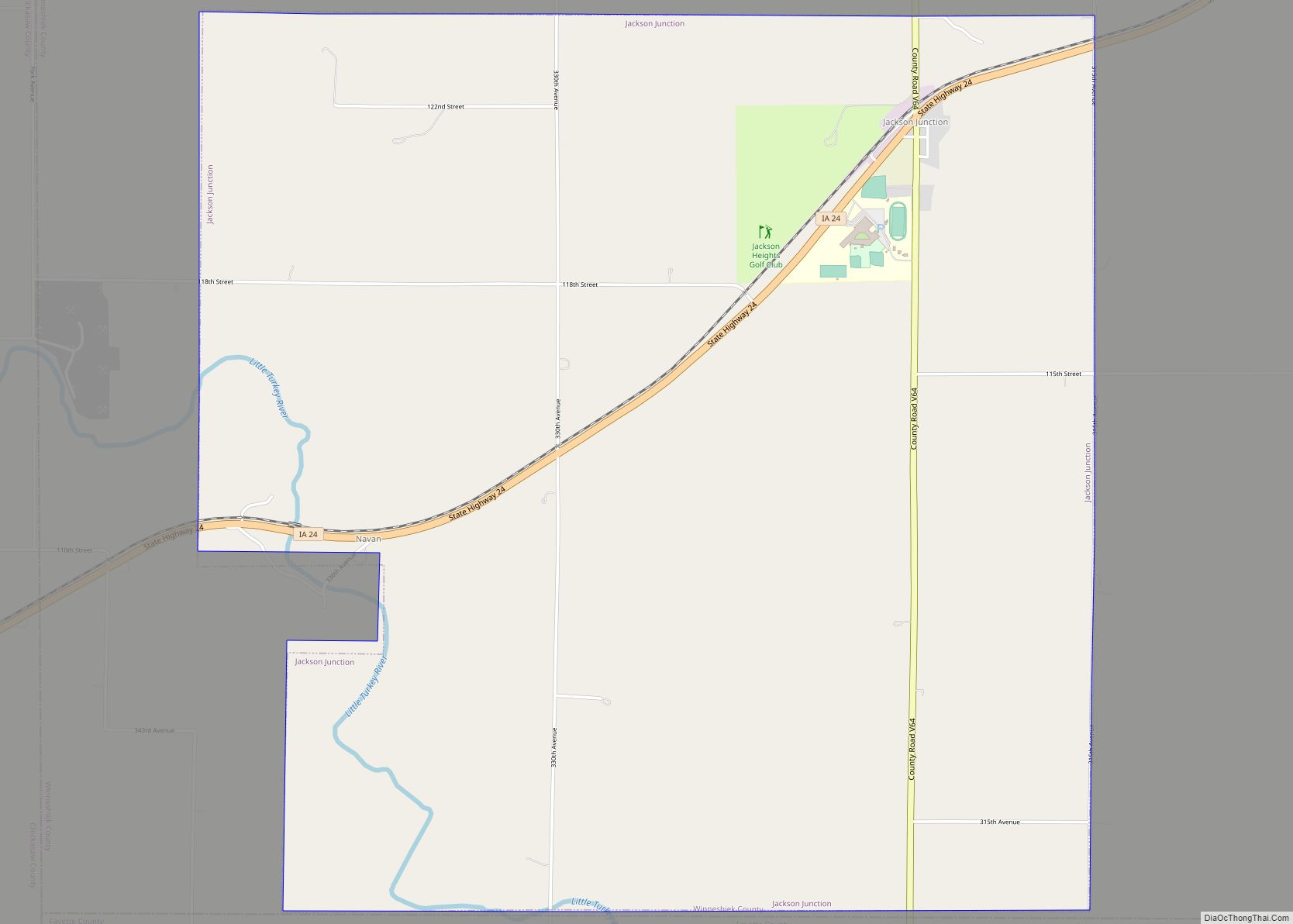
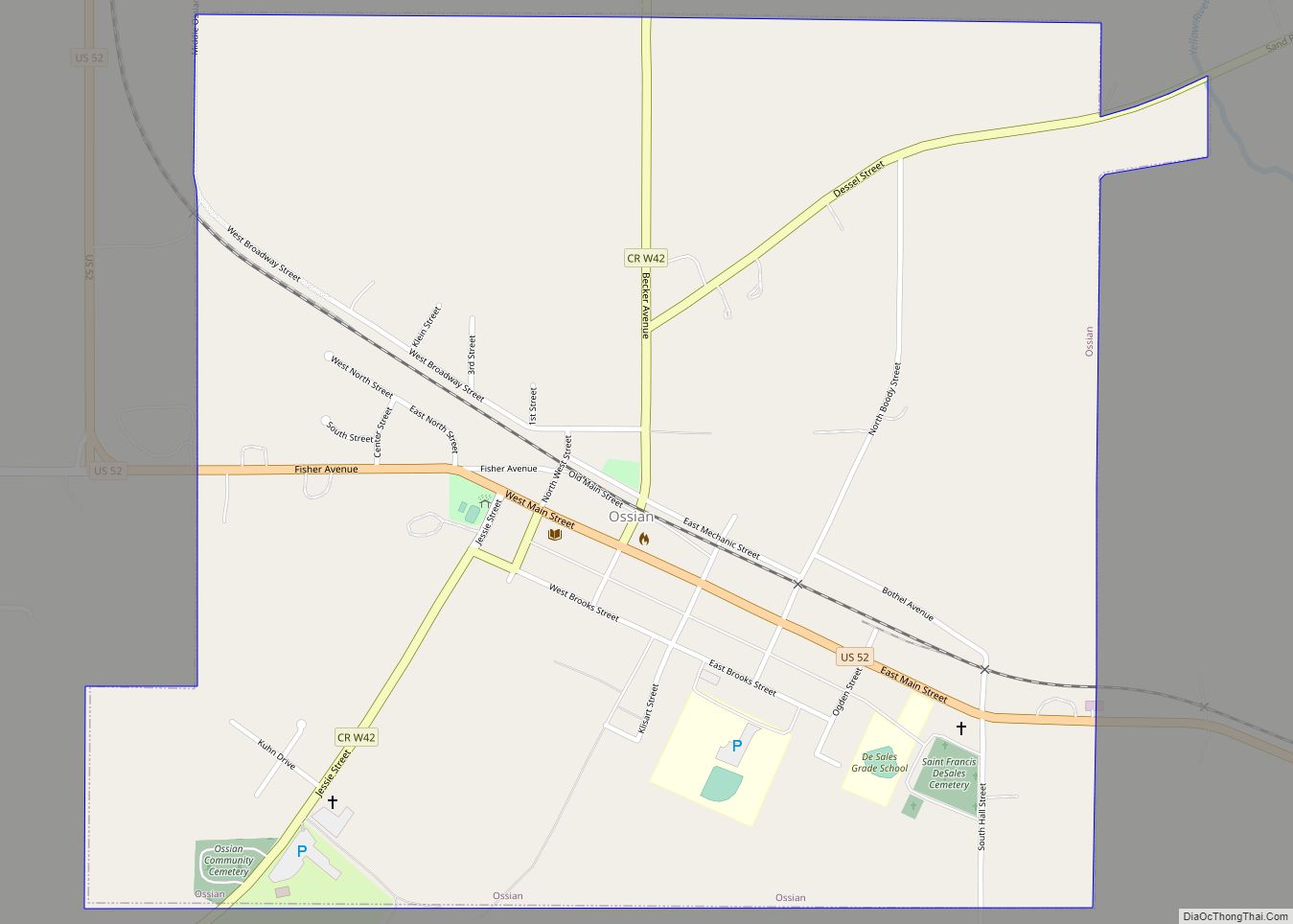
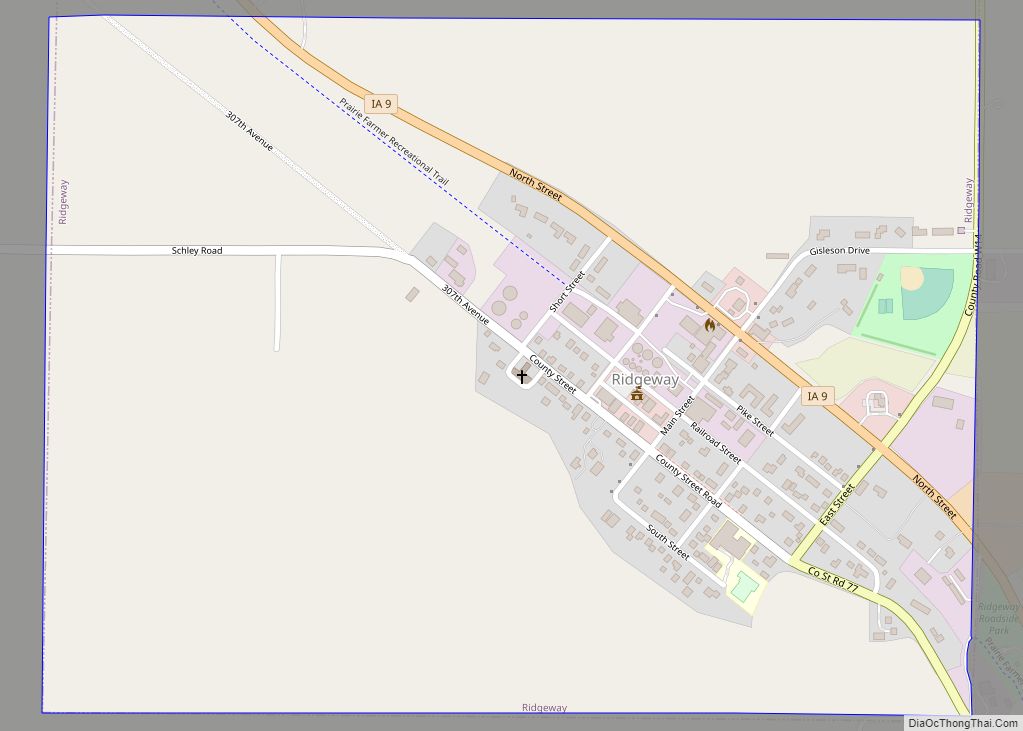
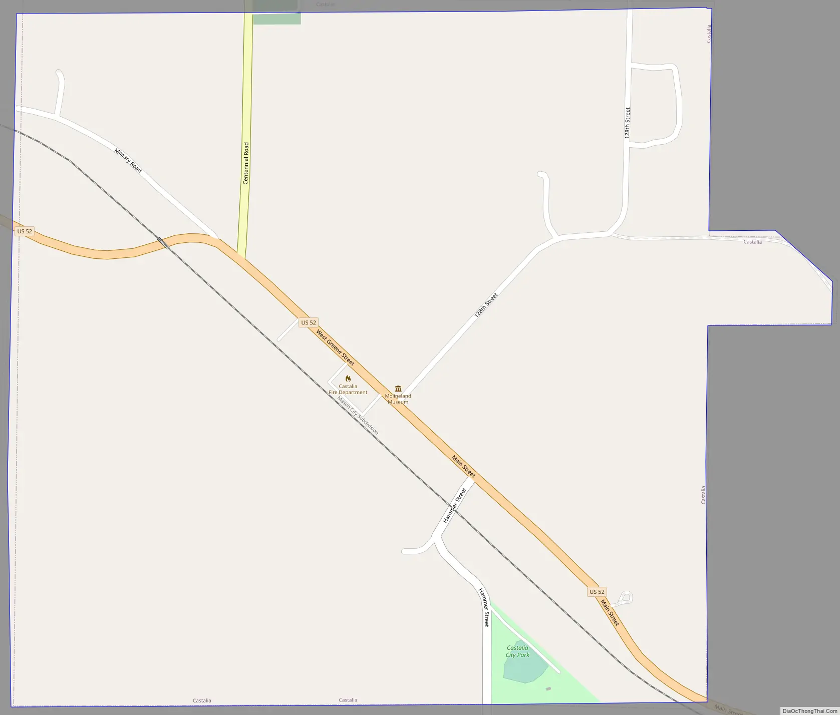
Castalia Road Map
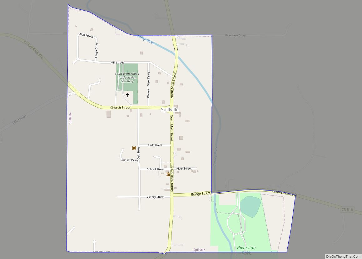
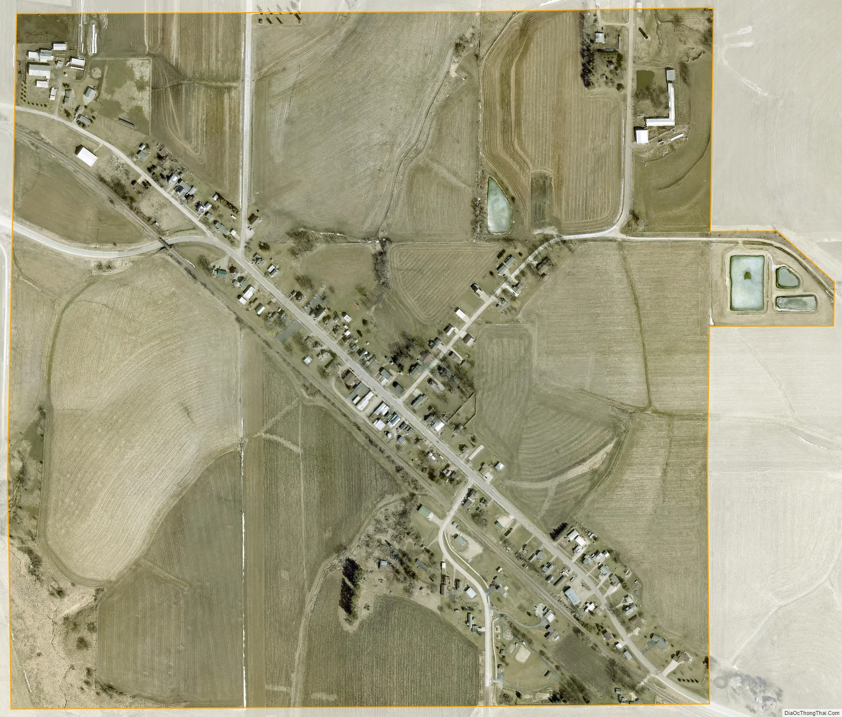
Castalia city Satellite Map
Geography
Castalia is located at 43°6′44″N 91°40′38″W / 43.11222°N 91.67722°W / 43.11222; -91.67722 (43.112261, -91.677256).
According to the United States Census Bureau, the city has a total area of 0.58 square miles (1.50 km), all land.
See also
Map of Iowa State and its subdivision:- Adair
- Adams
- Allamakee
- Appanoose
- Audubon
- Benton
- Black Hawk
- Boone
- Bremer
- Buchanan
- Buena Vista
- Butler
- Calhoun
- Carroll
- Cass
- Cedar
- Cerro Gordo
- Cherokee
- Chickasaw
- Clarke
- Clay
- Clayton
- Clinton
- Crawford
- Dallas
- Davis
- Decatur
- Delaware
- Des Moines
- Dickinson
- Dubuque
- Emmet
- Fayette
- Floyd
- Franklin
- Fremont
- Greene
- Grundy
- Guthrie
- Hamilton
- Hancock
- Hardin
- Harrison
- Henry
- Howard
- Humboldt
- Ida
- Iowa
- Jackson
- Jasper
- Jefferson
- Johnson
- Jones
- Keokuk
- Kossuth
- Lee
- Linn
- Louisa
- Lucas
- Lyon
- Madison
- Mahaska
- Marion
- Marshall
- Mills
- Mitchell
- Monona
- Monroe
- Montgomery
- Muscatine
- O'Brien
- Osceola
- Page
- Palo Alto
- Plymouth
- Pocahontas
- Polk
- Pottawattamie
- Poweshiek
- Ringgold
- Sac
- Scott
- Shelby
- Sioux
- Story
- Tama
- Taylor
- Union
- Van Buren
- Wapello
- Warren
- Washington
- Wayne
- Webster
- Winnebago
- Winneshiek
- Woodbury
- Worth
- Wright
- Alabama
- Alaska
- Arizona
- Arkansas
- California
- Colorado
- Connecticut
- Delaware
- District of Columbia
- Florida
- Georgia
- Hawaii
- Idaho
- Illinois
- Indiana
- Iowa
- Kansas
- Kentucky
- Louisiana
- Maine
- Maryland
- Massachusetts
- Michigan
- Minnesota
- Mississippi
- Missouri
- Montana
- Nebraska
- Nevada
- New Hampshire
- New Jersey
- New Mexico
- New York
- North Carolina
- North Dakota
- Ohio
- Oklahoma
- Oregon
- Pennsylvania
- Rhode Island
- South Carolina
- South Dakota
- Tennessee
- Texas
- Utah
- Vermont
- Virginia
- Washington
- West Virginia
- Wisconsin
- Wyoming