Clarion is a city in and the county seat of Wright County, Iowa, United States. The population was 2,810 at the time of the 2020 census.
Clarion is the birthplace of the four-leaf clover emblem used by the 4-H Clubs of America, conceived of in 1907 by the local school superintendent, O.H. Benson.
| Name: | Clarion city |
|---|---|
| LSAD Code: | 25 |
| LSAD Description: | city (suffix) |
| State: | Iowa |
| County: | Wright County |
| Elevation: | 1,171 ft (357 m) |
| Total Area: | 3.36 sq mi (8.70 km²) |
| Land Area: | 3.36 sq mi (8.70 km²) |
| Water Area: | 0.00 sq mi (0.00 km²) |
| Total Population: | 2,810 |
| Population Density: | 836.56/sq mi (322.99/km²) |
| ZIP code: | 50525-50526 |
| Area code: | 515 |
| FIPS code: | 1913620 |
| GNISfeature ID: | 0455428 |
| Website: | www.clarioniowa.gov |
Online Interactive Map
Click on ![]() to view map in "full screen" mode.
to view map in "full screen" mode.
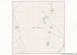
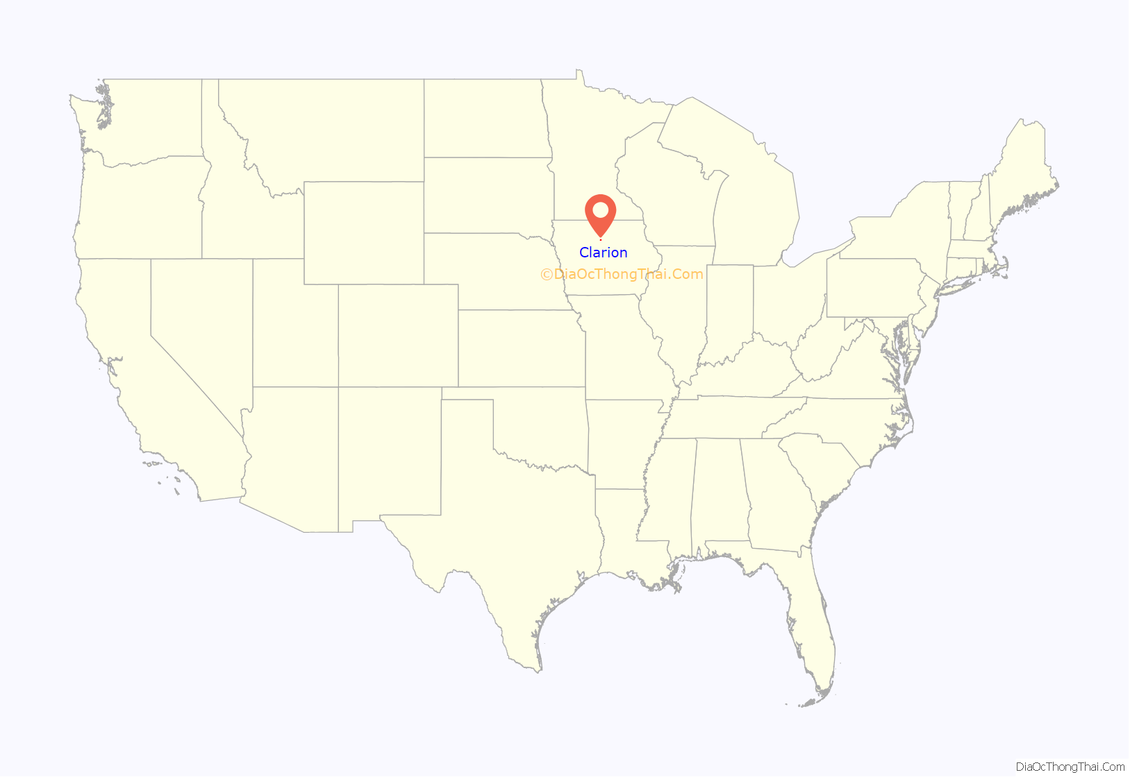
Clarion location map. Where is Clarion city?
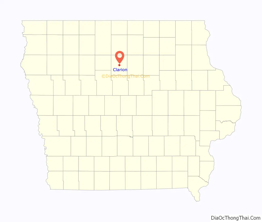
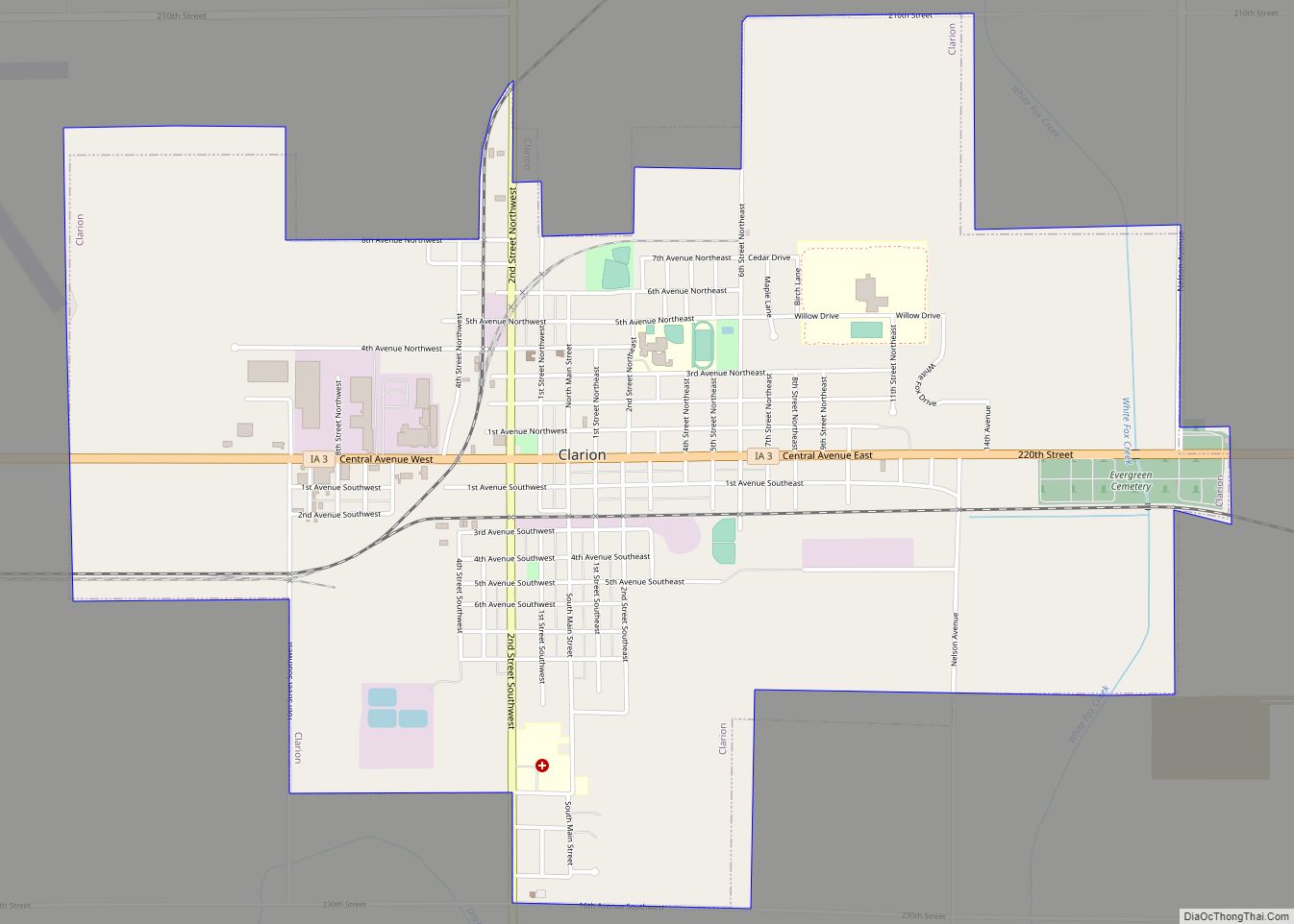
Clarion Road Map
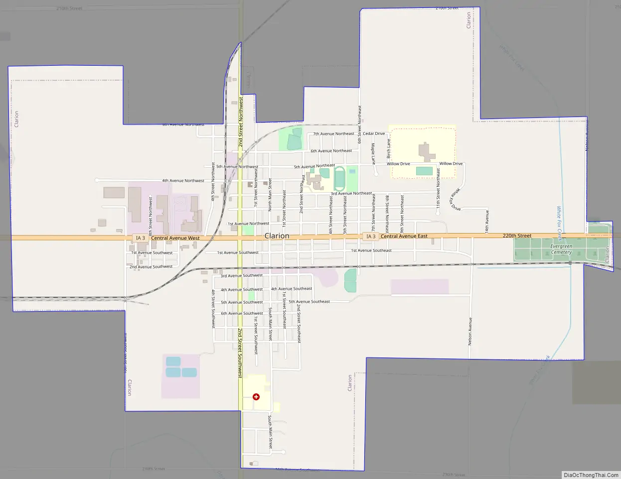
Clarion city Satellite Map

Geography
According to the United States Census Bureau, the city has a total area of 3.26 square miles (8.44 km), all land.
Climate
According to the Köppen Climate Classification system, Clarion has a hot-summer humid continental climate, abbreviated “Dfa” on climate maps.
Housing
Clarion offers a wide array of housing. The city annexed 300 acres (1.2 km) of land into the city limits to be used for housing development. Currently, lots are available as the first phase of the White Fox Landing Subdivision is under construction. The subdivision is located near the high school on the northeast side of town. There is also a Southpointe Housing Subdivision that has lots remaining for new housing in a newly developed area of Clarion.
See also
Map of Iowa State and its subdivision:- Adair
- Adams
- Allamakee
- Appanoose
- Audubon
- Benton
- Black Hawk
- Boone
- Bremer
- Buchanan
- Buena Vista
- Butler
- Calhoun
- Carroll
- Cass
- Cedar
- Cerro Gordo
- Cherokee
- Chickasaw
- Clarke
- Clay
- Clayton
- Clinton
- Crawford
- Dallas
- Davis
- Decatur
- Delaware
- Des Moines
- Dickinson
- Dubuque
- Emmet
- Fayette
- Floyd
- Franklin
- Fremont
- Greene
- Grundy
- Guthrie
- Hamilton
- Hancock
- Hardin
- Harrison
- Henry
- Howard
- Humboldt
- Ida
- Iowa
- Jackson
- Jasper
- Jefferson
- Johnson
- Jones
- Keokuk
- Kossuth
- Lee
- Linn
- Louisa
- Lucas
- Lyon
- Madison
- Mahaska
- Marion
- Marshall
- Mills
- Mitchell
- Monona
- Monroe
- Montgomery
- Muscatine
- O'Brien
- Osceola
- Page
- Palo Alto
- Plymouth
- Pocahontas
- Polk
- Pottawattamie
- Poweshiek
- Ringgold
- Sac
- Scott
- Shelby
- Sioux
- Story
- Tama
- Taylor
- Union
- Van Buren
- Wapello
- Warren
- Washington
- Wayne
- Webster
- Winnebago
- Winneshiek
- Woodbury
- Worth
- Wright
- Alabama
- Alaska
- Arizona
- Arkansas
- California
- Colorado
- Connecticut
- Delaware
- District of Columbia
- Florida
- Georgia
- Hawaii
- Idaho
- Illinois
- Indiana
- Iowa
- Kansas
- Kentucky
- Louisiana
- Maine
- Maryland
- Massachusetts
- Michigan
- Minnesota
- Mississippi
- Missouri
- Montana
- Nebraska
- Nevada
- New Hampshire
- New Jersey
- New Mexico
- New York
- North Carolina
- North Dakota
- Ohio
- Oklahoma
- Oregon
- Pennsylvania
- Rhode Island
- South Carolina
- South Dakota
- Tennessee
- Texas
- Utah
- Vermont
- Virginia
- Washington
- West Virginia
- Wisconsin
- Wyoming