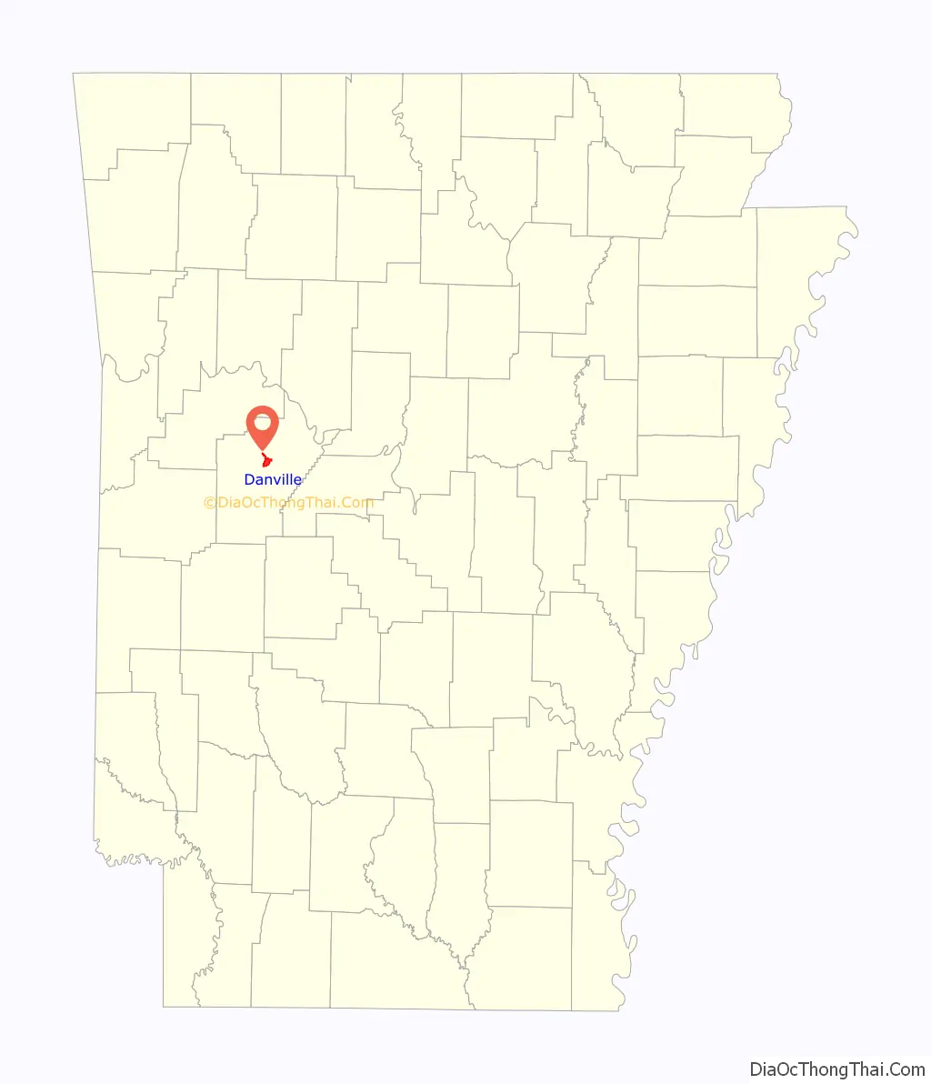
Danville is a city in Yell County, Arkansas, United States. The population was 2,409 at the 2010 census. Along with Dardanelle, it is one of two county seats for Yell County.
Danville is part of the Russellville Micropolitan Statistical Area.
| Name: | Danville city |
|---|---|
| LSAD Code: | 25 |
| LSAD Description: | city (suffix) |
| State: | Arkansas |
| County: | Yell County |
| Elevation: | 348 ft (106 m) |
| Total Area: | 4.33 sq mi (11.21 km²) |
| Land Area: | 4.28 sq mi (11.09 km²) |
| Water Area: | 0.05 sq mi (0.12 km²) |
| Total Population: | 2,028 |
| Population Density: | 473.83/sq mi (182.95/km²) |
| ZIP code: | 72833 |
| Area code: | 479 |
| FIPS code: | 0517320 |
| GNISfeature ID: | 0081853 |
Online Interactive Map
Click on ![]() to view map in "full screen" mode.
to view map in "full screen" mode.
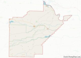
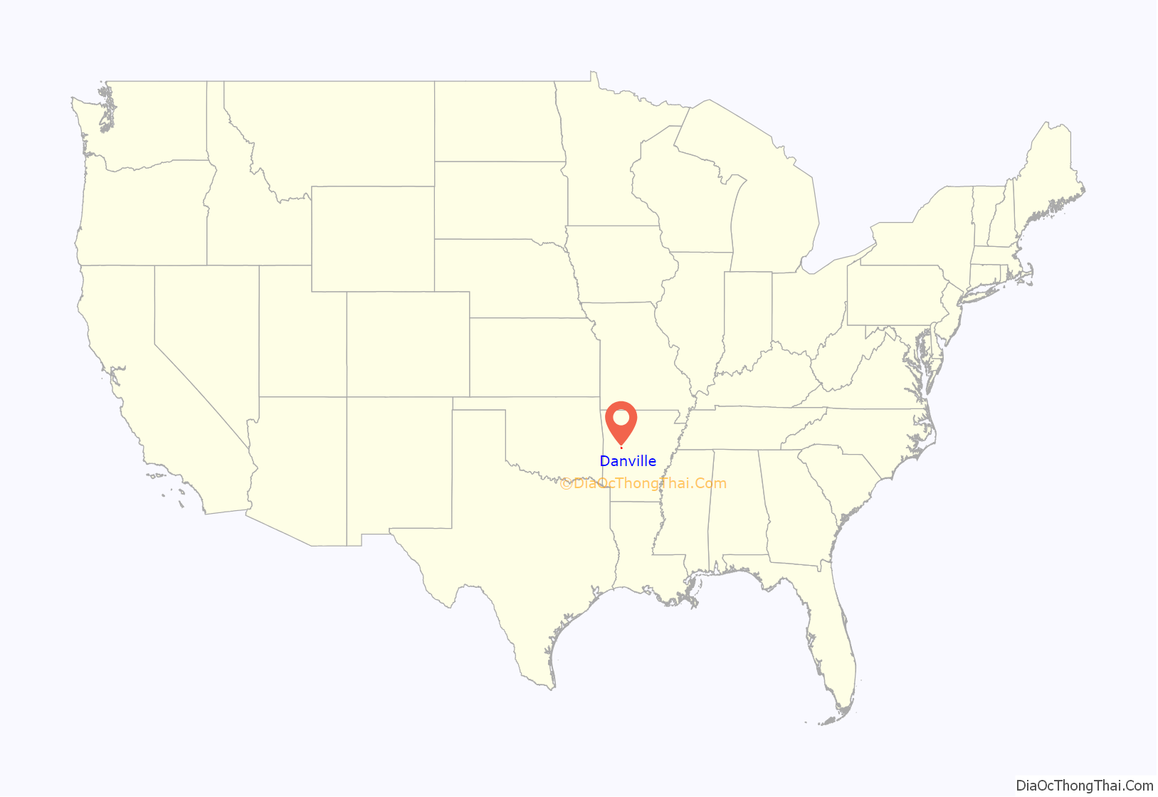
Danville location map. Where is Danville city?
History
After Yell County was created in 1840, local commissioners met to select a site for the county seat, settling on what is now Danville as the best location. The city was laid out in December 1841 by James Briggs, James Williams, and Nerick Morse. The home of William Peevy in Monrovia, a few miles north of Danville, was used as a temporary county seat in the interim. The city was named after the steamboat Danville, which plied the Petit Jean River in the 1840s. A log courthouse was constructed at Danville in 1844, though this was replaced by a frame building by 1850. A Masonic lodge was organized in Danville in the late 1840s. The number of creeks in the area led to the construction of numerous water power mills around Danville.
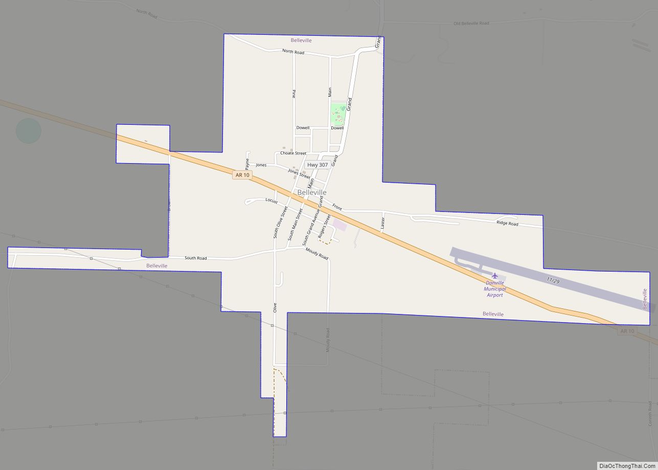
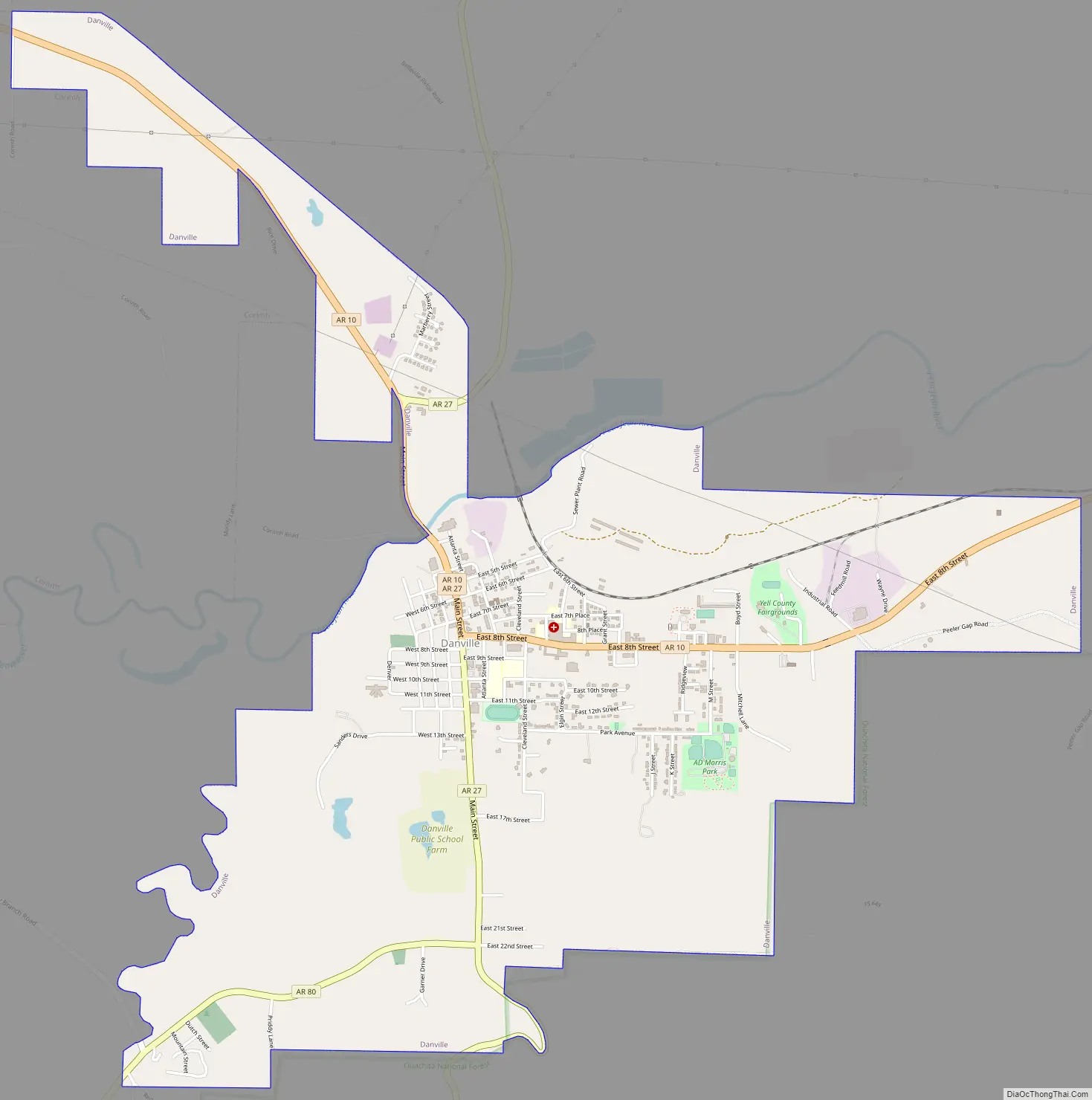
Danville Road Map
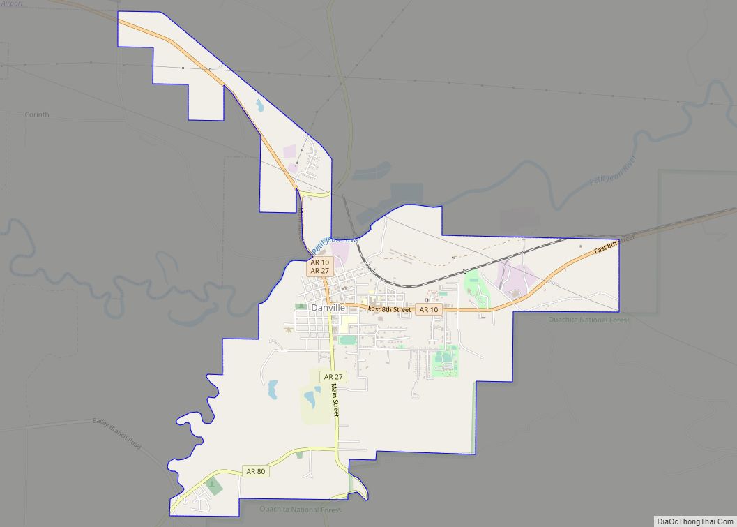
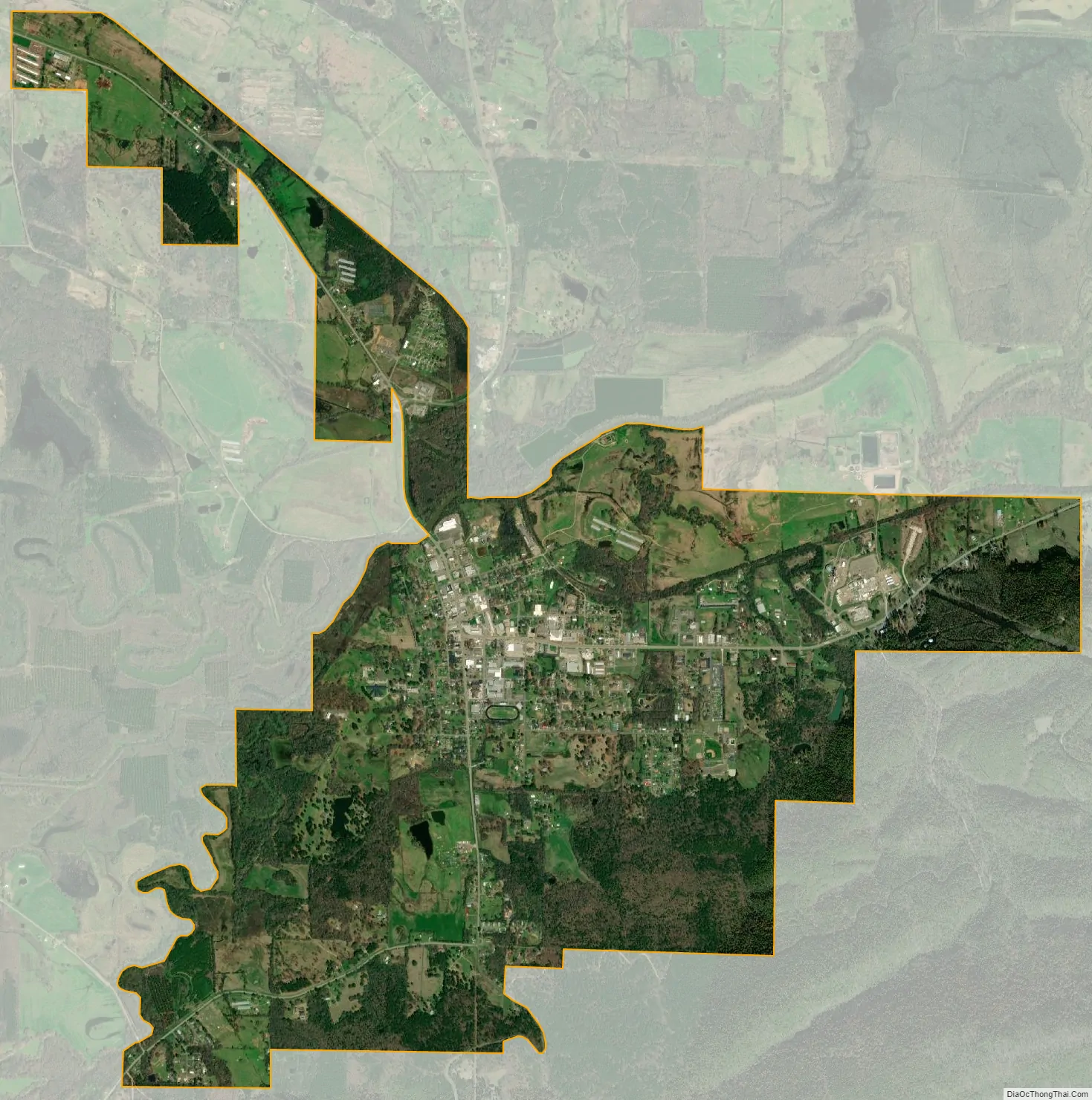
Danville city Satellite Map
Geography
Danville is located at 35°3′13″N 93°23′30″W / 35.05361°N 93.39167°W / 35.05361; -93.39167 (35.053572, -93.391623).
According to the United States Census Bureau, the city has a total area of 4.3 square miles (11 km), of which 4.2 square miles (11 km) is land and 0.1-square-mile (0.26 km) (1.40%) is water.
See also
Map of Arkansas State and its subdivision:- Arkansas
- Ashley
- Baxter
- Benton
- Boone
- Bradley
- Calhoun
- Carroll
- Chicot
- Clark
- Clay
- Cleburne
- Cleveland
- Columbia
- Conway
- Craighead
- Crawford
- Crittenden
- Cross
- Dallas
- Desha
- Drew
- Faulkner
- Franklin
- Fulton
- Garland
- Grant
- Greene
- Hempstead
- Hot Spring
- Howard
- Independence
- Izard
- Jackson
- Jefferson
- Johnson
- Lafayette
- Lawrence
- Lee
- Lincoln
- Little River
- Logan
- Lonoke
- Madison
- Marion
- Miller
- Mississippi
- Monroe
- Montgomery
- Nevada
- Newton
- Ouachita
- Perry
- Phillips
- Pike
- Poinsett
- Polk
- Pope
- Prairie
- Pulaski
- Randolph
- Saint Francis
- Saline
- Scott
- Searcy
- Sebastian
- Sevier
- Sharp
- Stone
- Union
- Van Buren
- Washington
- White
- Woodruff
- Yell
- Alabama
- Alaska
- Arizona
- Arkansas
- California
- Colorado
- Connecticut
- Delaware
- District of Columbia
- Florida
- Georgia
- Hawaii
- Idaho
- Illinois
- Indiana
- Iowa
- Kansas
- Kentucky
- Louisiana
- Maine
- Maryland
- Massachusetts
- Michigan
- Minnesota
- Mississippi
- Missouri
- Montana
- Nebraska
- Nevada
- New Hampshire
- New Jersey
- New Mexico
- New York
- North Carolina
- North Dakota
- Ohio
- Oklahoma
- Oregon
- Pennsylvania
- Rhode Island
- South Carolina
- South Dakota
- Tennessee
- Texas
- Utah
- Vermont
- Virginia
- Washington
- West Virginia
- Wisconsin
- Wyoming