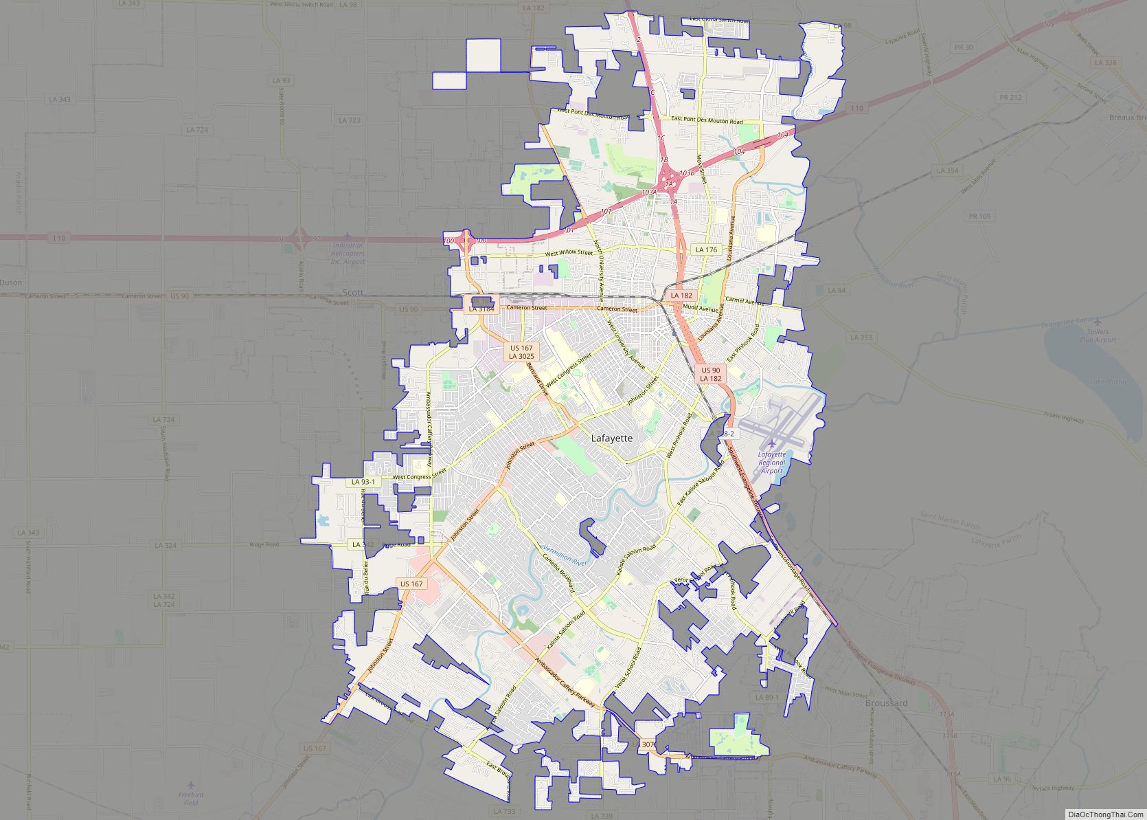
Map of Palm Bay city

Map of Palm Bay city

Palm Bay is a city in Brevard County, Florida. The city’s population was 119,760 at the 2020 United States census, making it the most populous city in the county and the largest by land mass. The historic section of the city lies on the mouth of the Turkey Creek and the Palm Bay. Palm Bay … Read more

Map of Ann Arbor city

Map of Ann Arbor city

Ann Arbor is a city in the U.S. state of Michigan and the seat of government of Washtenaw County. The 2020 census recorded its population to be 123,851, making it the fifth-largest city in Michigan. It is the principal city of the Ann Arbor Metropolitan Statistical Area, which encompasses all of Washtenaw County. Ann Arbor … Read more

Map of North Charleston city

Map of North Charleston city

North Charleston is a city in Berkeley, Dorchester, and Charleston counties within the U.S. state of South Carolina. As of the 2020 census, North Charleston had a population of 114,852, making it the third-most populous city in the state. North Charleston is a principal city within the Charleston–North Charleston, SC Metropolitan Statistical Area, which had … Read more

Map of Berkeley city

Map of Berkeley city, California

Berkeley (/ˈbɜːrkli/ BURK-lee) is a city on the eastern shore of San Francisco Bay in northern Alameda County, California, United States. It is named after the 18th-century Anglo-Irish bishop and philosopher George Berkeley. It borders the cities of Oakland and Emeryville to the south and the city of Albany and the unincorporated community of Kensington … Read more