Rochester is a city in the U.S. state of Minnesota and the county seat of Olmsted County. Located on rolling bluffs on the Zumbro River’s south fork in Southeast Minnesota, the city is the home and birthplace of the renowned Mayo Clinic.
At the 2020 census, the city had a population of 121,395, making it Minnesota’s third-largest city. The Rochester metropolitan area, which also includes the nearby rural agricultural areas, had a population of 226,329 in 2020.
| Name: | Rochester city |
|---|---|
| LSAD Code: | 25 |
| LSAD Description: | city (suffix) |
| State: | Minnesota |
| County: | Olmsted County |
| Founded: | 1854; 169 years ago (1854) |
| Elevation: | 1,030 ft (401.4 m) |
| Land Area: | 55.58 sq mi (143.96 km²) |
| Water Area: | 0.29 sq mi (0.75 km²) |
| Population Density: | 2,184.07/sq mi (843.27/km²) |
| ZIP code: | 55901–55906 |
| Area code: | 507 |
| FIPS code: | 2754880 |
| GNISfeature ID: | 0650180 |
| Website: | rochestermn.gov |
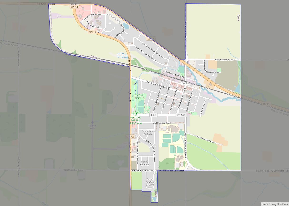
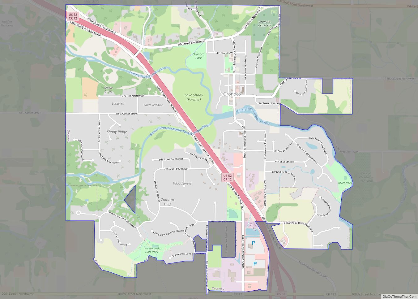
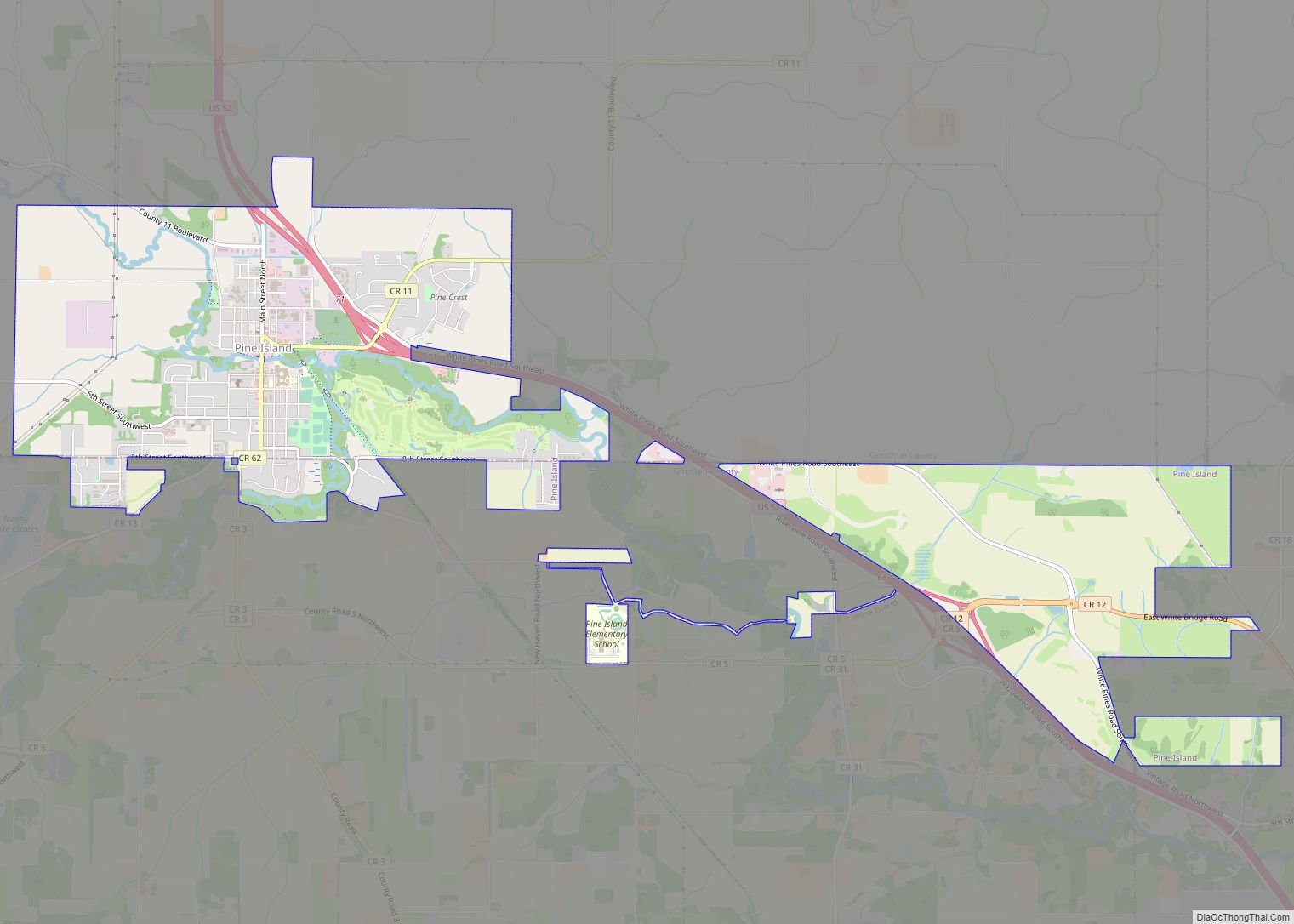
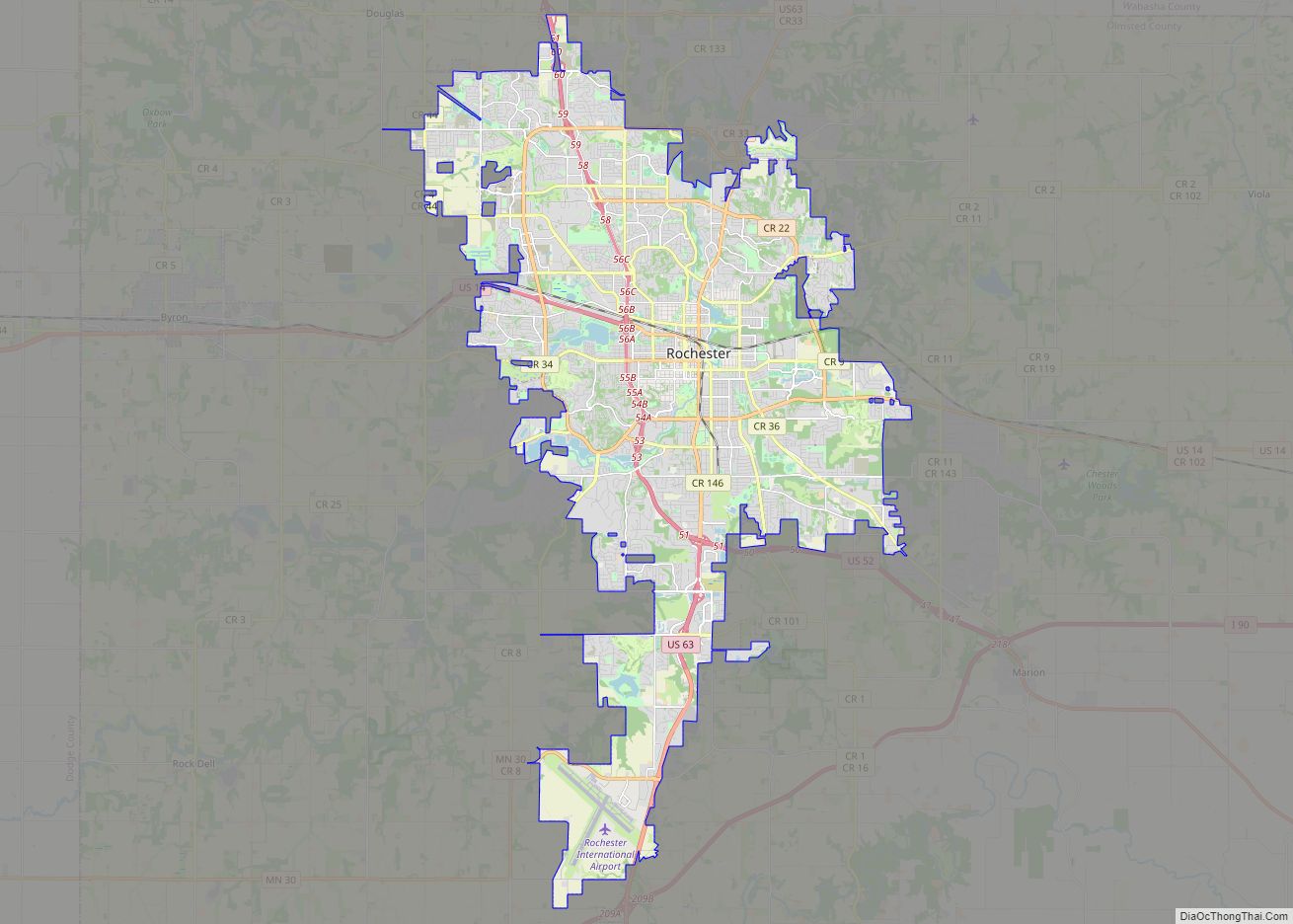
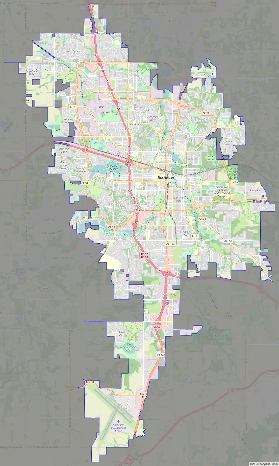
Online Interactive Map
Click on ![]() to view map in "full screen" mode.
to view map in "full screen" mode.
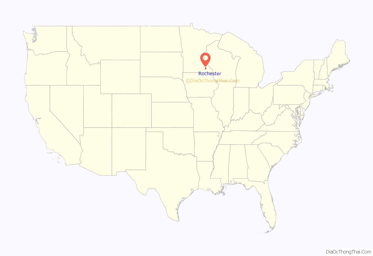
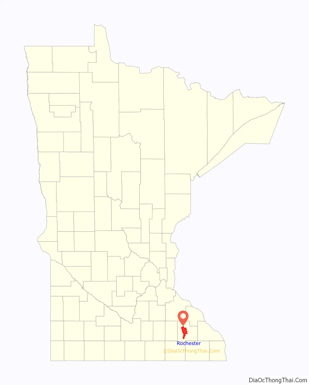
Rochester location map. Where is Rochester city?
History
Several indigenous peoples such as Dakota, Ojibway, and Winnebago inhabited the Rochester area. The area developed as a stagecoach stop between Saint Paul, Minnesota, and Dubuque, Iowa near the Zumbro River. The community was founded by George Head and his wife Henrietta who built a log cabin named Head’s Tavern in 1854 and named the city after his hometown of Rochester, New York. When the Winona and St Peter Railroad initiated service in October 1864, it brought new residents and business opportunities and spurred growth. In 1863, Dr. William W. Mayo arrived as the examining surgeon for Union draftees in the Civil War.
St. Marys Hospital
On August 21, 1883, the Great Tornado demolished much of Rochester, leaving 37 dead and approximately 200 injured. As there was no medical facility in the immediate area at the time, Dr. Mayo and his two sons worked together to care for the wounded. Donations of US$60,000 (US$1,567,054 in 2016 accounting for inflation) were collected and the Sisters of St. Francis, assisted by Mayo, opened a new facility named St. Marys Hospital in 1889.
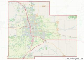
Rochester Road Map
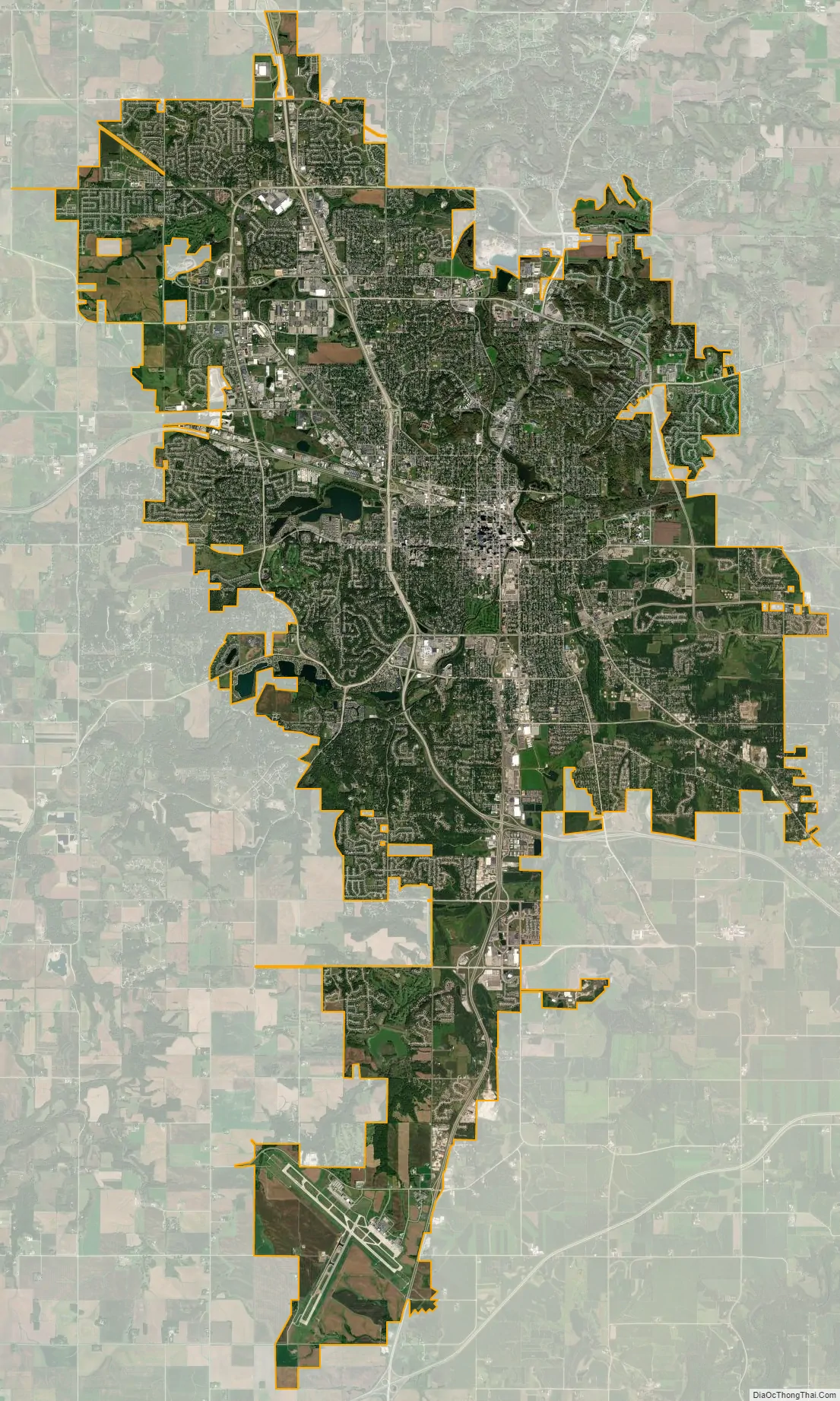
Rochester city Satellite Map
Geography
Rochester lies alongside the South Fork of the Zumbro River which is 57.6 miles (92.7 km) long and is ringed by gentle hills and largely surrounded by farmland within a deciduous forest biome. The Zumbro Watershed flows through 1,422 square miles (3,680 km) of agricultural and urban lands. Located in southeast Minnesota, the City of Rochester lies at the western edge of the Driftless Area, a region that was never glaciated and contains deeply-carved river valleys. The rugged terrain is due both to the lack of glacial deposits, or drift, and to the incision of the upper Mississippi River and its tributaries into bedrock. According to the United States Census Bureau, the city has a total area of 54.75 square miles (141.80 km), of which 54.59 square miles (141.39 km) of it is land and 0.16 square miles (0.41 km) is water. The city is located 85 miles (137 km) southeast of Minneapolis–Saint Paul.
Rochester is in Olmsted County, one of only four counties in Minnesota without a natural lake. Artificial lakes exist in the area, including Silver Lake, a dammed portion of the South Fork Zumbro River just below the convergence with Silver Creek near the city center. Silver Lake was once used as a cooling pond when the coal-burning power plant was operated by Rochester Public Utilities at the lake. When operational, the RPU coal plant’s heated water output prevented the lake from generally freezing over during the winter months, attracting large numbers of migrating giant Canada geese. Large murders of crows are known to flock to Rochester during winter, including the Rochester cemetery downtown.
Rochester has an extensive parks system, the largest of which are Silver Lake and Soldiers Field in the central part of the city. A major flood in 1978 led the city to embark on an expensive and successful flood-control project that involved altering many nearby rivers and streams. The Zumbro River flowing through the center of the city is presently being readdressed for increased development and use as part of city planning in conjunction with funding from the Destination Medical Center project.
Climate
With a slightly higher altitude and without the UHI as the Twin Cities, the climate is warm-summer humid continental climate (Köppen: Dfb) even being further south, with warm summers and cold winters. The city features four distinct seasons. Rochester sees on average 33.02 inches (839 mm) of rainfall and 51.9 inches (132 cm) of snowfall per year. Significant snow accumulation is common during the winter months. Spring and fall are transitional seasons, with a general warming trend during the spring and a general cooling trend during the fall. However, it is not uncommon to see some snowfall during the early month of spring and the later month of fall. Rochester is the second windiest city in the United States, with wind speeds averaging 12.6 mph (20.3 km/h). January to April are the windiest months on average, according to The Weather Channel. Rochester has been hit by two F4 tornadoes since 1950 (the first on May 10, 1953, and the other on September 16, 1962). The city has also been hit by two tornadoes in the past decade. On June 17, 2010, a tornado hit the city’s northwest side, damaging or destroying several homes and businesses around the Lincolnshire neighborhood. Another tornado struck the city on June 4, 2019, causing damage to parts of Southwest Rochester.
- ^ Mean monthly maxima and minima (i.e. the expected highest and lowest temperature readings at any point during the year or given month) calculated based on data at said location from 1991 to 2020.
See also
Map of Minnesota State and its subdivision:- Aitkin
- Anoka
- Becker
- Beltrami
- Benton
- Big Stone
- Blue Earth
- Brown
- Carlton
- Carver
- Cass
- Chippewa
- Chisago
- Clay
- Clearwater
- Cook
- Cottonwood
- Crow Wing
- Dakota
- Dodge
- Douglas
- Faribault
- Fillmore
- Freeborn
- Goodhue
- Grant
- Hennepin
- Houston
- Hubbard
- Isanti
- Itasca
- Jackson
- Kanabec
- Kandiyohi
- Kittson
- Koochiching
- Lac qui Parle
- Lake
- Lake of the Woods
- Lake Superior
- Le Sueur
- Lincoln
- Lyon
- Mahnomen
- Marshall
- Martin
- McLeod
- Meeker
- Mille Lacs
- Morrison
- Mower
- Murray
- Nicollet
- Nobles
- Norman
- Olmsted
- Otter Tail
- Pennington
- Pine
- Pipestone
- Polk
- Pope
- Ramsey
- Red Lake
- Redwood
- Renville
- Rice
- Rock
- Roseau
- Saint Louis
- Scott
- Sherburne
- Sibley
- Stearns
- Steele
- Stevens
- Swift
- Todd
- Traverse
- Wabasha
- Wadena
- Waseca
- Washington
- Watonwan
- Wilkin
- Winona
- Wright
- Yellow Medicine
- Alabama
- Alaska
- Arizona
- Arkansas
- California
- Colorado
- Connecticut
- Delaware
- District of Columbia
- Florida
- Georgia
- Hawaii
- Idaho
- Illinois
- Indiana
- Iowa
- Kansas
- Kentucky
- Louisiana
- Maine
- Maryland
- Massachusetts
- Michigan
- Minnesota
- Mississippi
- Missouri
- Montana
- Nebraska
- Nevada
- New Hampshire
- New Jersey
- New Mexico
- New York
- North Carolina
- North Dakota
- Ohio
- Oklahoma
- Oregon
- Pennsylvania
- Rhode Island
- South Carolina
- South Dakota
- Tennessee
- Texas
- Utah
- Vermont
- Virginia
- Washington
- West Virginia
- Wisconsin
- Wyoming