Clearwater is a city located in Pinellas County, Florida, United States, west of Tampa and north of St. Petersburg. To the west of Clearwater lies the Gulf of Mexico and to the southeast lies Tampa Bay. As of the 2020 census, the city had a population of 117,292. Clearwater is the county seat of Pinellas ... Read more
Popular US cities & places
Cambridge (/ˈkeɪmbrɪdʒ/ KAYM-brij) is a city in Middlesex County, Massachusetts, in the United States. It is a major suburb in the Greater Boston metropolitan area, located directly across the Charles River from Boston. The city’s population as of the 2020 U.S. census was 118,403, making it the largest city in the county, the fourth most ... Read more
Berkeley (/ˈbɜːrkli/ BURK-lee) is a city on the eastern shore of San Francisco Bay in northern Alameda County, California, United States. It is named after the 18th-century Anglo-Irish bishop and philosopher George Berkeley. It borders the cities of Oakland and Emeryville to the south and the city of Albany and the unincorporated community of Kensington ... Read more
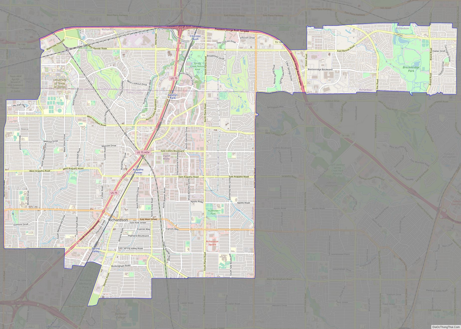
Richardson is a city in Dallas and Collin counties in the U.S. state of Texas. As of the 2020 United States census, the city had a total population of 119,469. Richardson is an inner suburb of the city of Dallas. It is home to the University of Texas at Dallas and the Telecom Corridor, with ... Read more
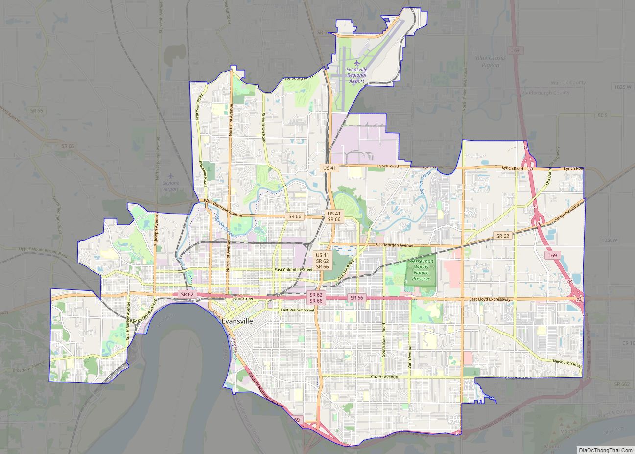
Evansville is a city in and the county seat of Vanderburgh County, Indiana, United States. The population was 118,414 at the 2020 census, making it the state’s third-most populous city after Indianapolis and Fort Wayne, the largest city in Southern Indiana, and the 249th-most populous city in the United States. It is the central city ... Read more
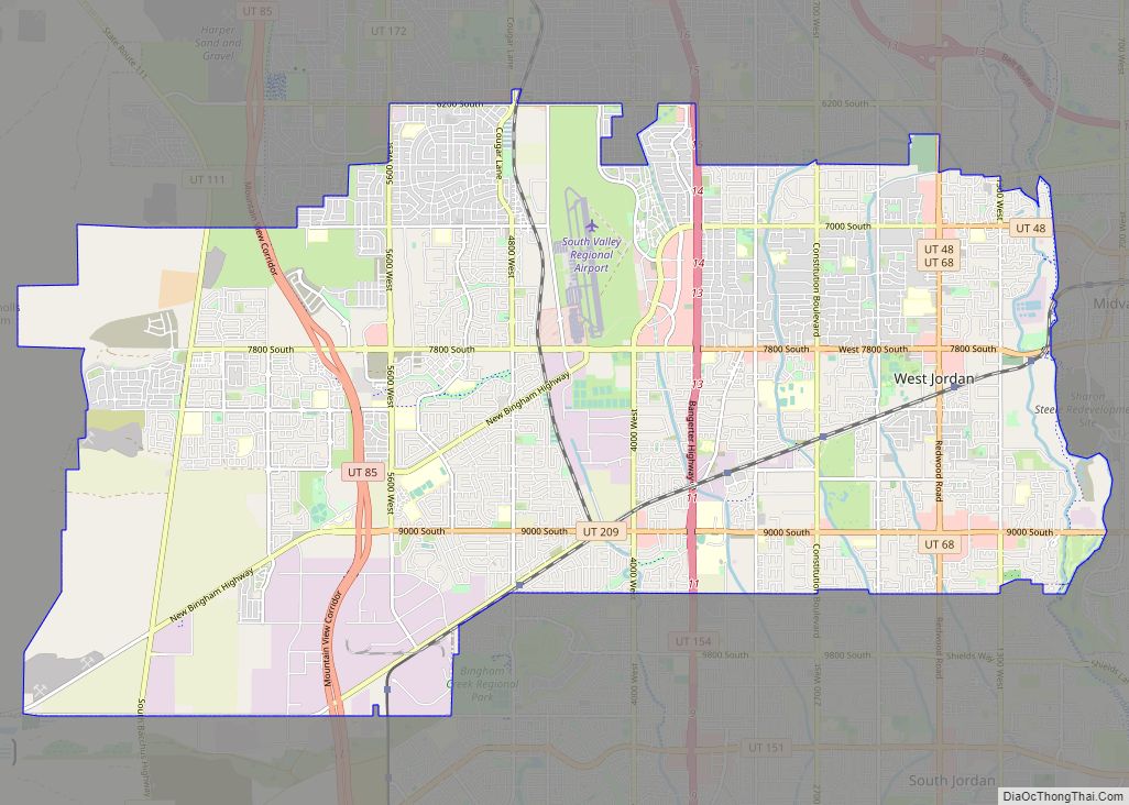
West Jordan is a city in Salt Lake County, Utah, United States. It is a suburb of Salt Lake City. According to the 2020 Census, the city had a population of 116,961, placing it as the third most populous in the state. The city occupies the southwest end of the Salt Lake Valley at an ... Read more
Richmond is a city in western Contra Costa County, California, United States. The city was incorporated on August 7, 1905, and has a city council. Located in the San Francisco Bay Area’s East Bay region, Richmond borders San Pablo, Albany, El Cerrito and Pinole in addition to the unincorporated communities of North Richmond, Hasford Heights, ... Read more
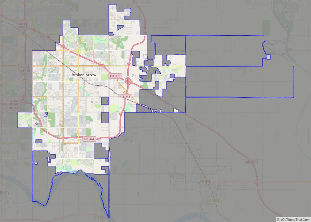
Broken Arrow is a city located in the northeastern part of the U.S. state of Oklahoma, primarily in Tulsa County, with a portion in western Wagoner County. It is the largest suburb of Tulsa. According to the 2020 census, Broken Arrow has a population of 113,540 residents and is the fourth-largest city in the state. ... Read more
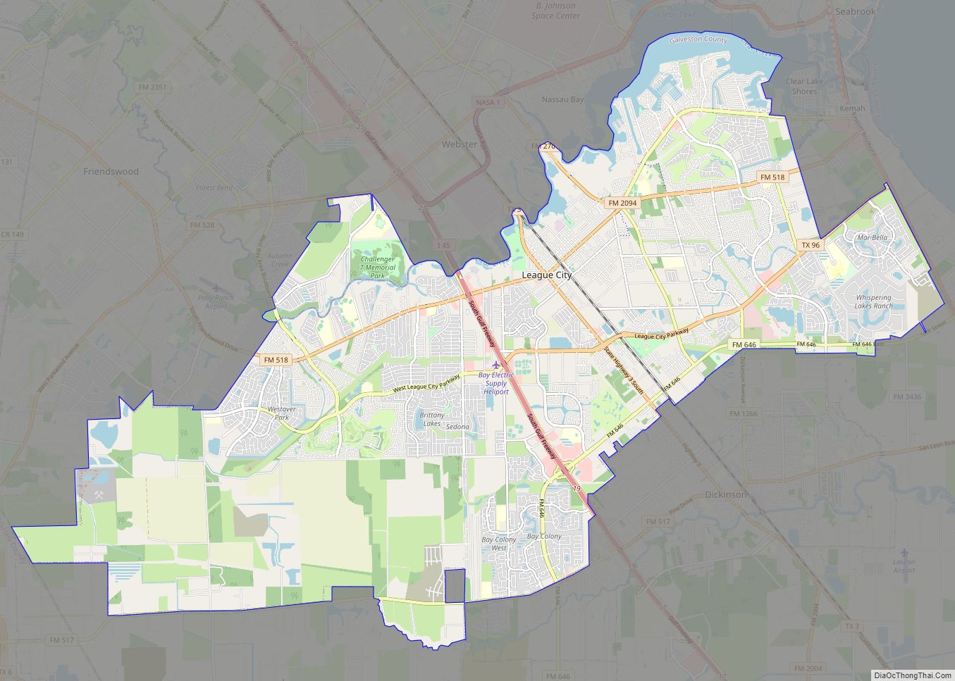
League City is a city in the U.S. state of Texas, in Galveston County, within the Greater Houston metropolitan area. As of the 2020 census, the city had a population of 112,129. The city of League City has a small portion north of Clear Creek within Harris County zoned for residential and commercial uses. It ... Read more
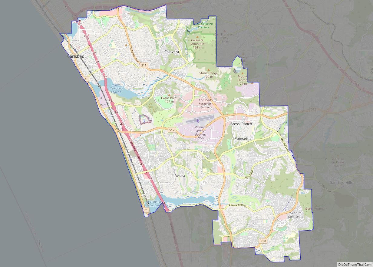
Carlsbad is a coastal city in the North County region of San Diego County, California, United States. The city is 87 miles (140 km) south of downtown Los Angeles and 35 miles (56 km) north of downtown San Diego. As of the 2020 census, the population of the city was 114,746. Carlsbad is a popular tourist destination ... Read more
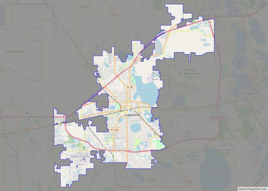
Lakeland is the most populous city in Polk County, Florida, part of the Tampa Bay Area, located along Interstate 4 east of Tampa. According to the 2020 U.S. Census Bureau release, the city had a population of 112,641. Lakeland is a principal city of the Lakeland–Winter Haven Metropolitan Statistical Area. European-American settlers arrived in Lakeland ... Read more
Manchester is the most populous city in the U.S. state of New Hampshire and in northern New England, a region comprising the states of Maine, New Hampshire, and Vermont. At the 2020 census, it had a population of 115,644. Manchester is, along with the city of Nashua, one of two seats of New Hampshire’s most ... Read more


