League City is a city in the U.S. state of Texas, in Galveston County, within the Greater Houston metropolitan area. As of the 2020 census, the city had a population of 112,129.
The city of League City has a small portion north of Clear Creek within Harris County zoned for residential and commercial uses. It is home to several waterside resorts, such as South Shore Harbor Resort and Conference Center and Waterford Harbor and Yacht Club Marina, popular with residents of nearby Houston. Between 2000 and 2005, League City surpassed Galveston as Galveston County’s largest city.
| Name: | League City city |
|---|---|
| LSAD Code: | 25 |
| LSAD Description: | city (suffix) |
| State: | Texas |
| County: | Galveston County, Harris County |
| Incorporated: | 1961 |
| Elevation: | 20 ft (6 m) |
| Total Area: | 53.06 sq mi (137.43 km²) |
| Land Area: | 51.26 sq mi (132.77 km²) |
| Water Area: | 1.80 sq mi (4.66 km²) |
| Total Population: | 112,129 |
| Population Density: | 2,100/sq mi (820/km²) |
| ZIP code: | 77573-77574 |
| Area code: | 281/346/713/832 |
| FIPS code: | 4841980 |
| GNISfeature ID: | 1339753 |
| Website: | http://www.leaguecitytx.gov |
Online Interactive Map
Click on ![]() to view map in "full screen" mode.
to view map in "full screen" mode.
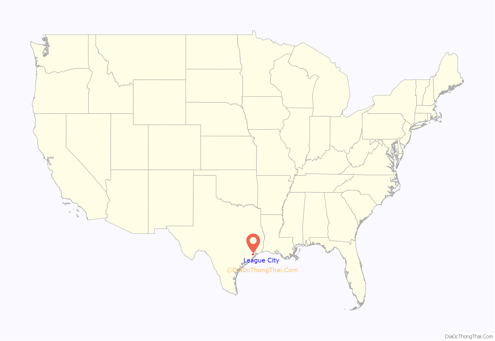
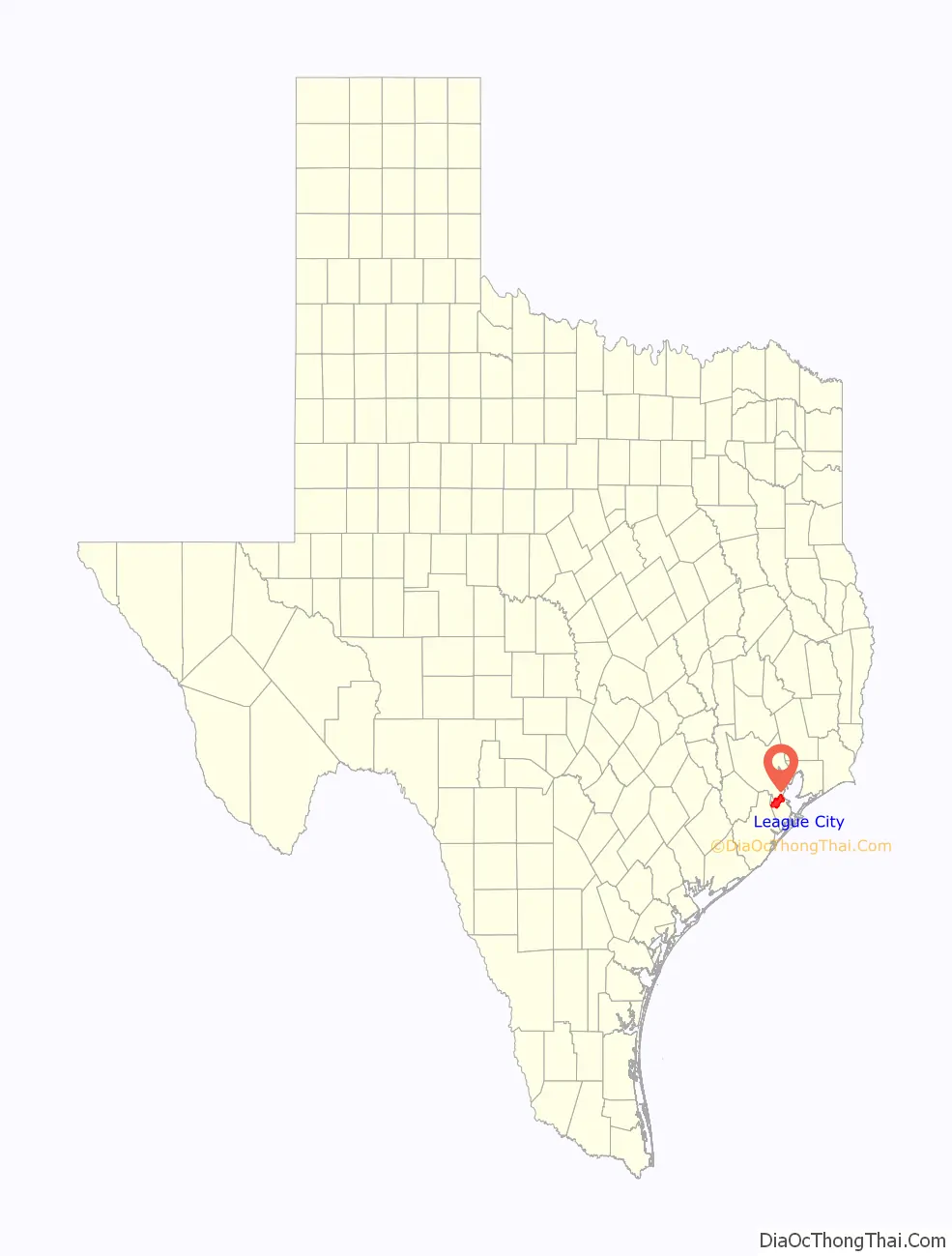
League City location map. Where is League City city?
History
League City was settled at the former site of a Karankawa Indian village. Three families, the Butlers, the Cowarts, and the Perkinses, are considered to be founding families of the city. The Winfield Family has also recently been acknowledged as a founding family by the City Government. The Cowart family settled on a creek now called Cowart’s Creek after them (now often called “Coward’s Creek”). The Perkins family built on a creek notably lined with magnolia trees and named it Magnolia Bayou. The Butler family settled inland. The Winfield Family purchased land in League City from the great nephew of Stephen F. Austin and moved there, to a place near what is now Hobbs Road.
The first resident of the town proper, George W. Butler, arrived from Louisiana in 1854 and settled at the junction of Clear Creek and Chigger Bayou. The area was known as Butler’s Ranch or Clear Creek until J. C. League acquired the land from a man named Muldoon on his entering the priesthood. League laid out his townsite along the Galveston, Houston, and Henderson Railroad, already established in the area. This began a small feud over the name, as Butler was the postmaster. The name was changed several times, alternating between Clear Creek and the new League City. In the end, League City was chosen.
In 1907, League had two railroad flatcars of live oak trees left by the railroad tracks. These were for the residents to plant on their property. Butler and his son Milby supervised the planting of these trees, now known as the Butler Oaks. Many of them line Main Street to this day.
Starting in the early 1970s, the bodies of 30 murdered women were discovered in League City, and more have gone missing from the same area. This location has become known as the Texas Killing Fields.
In the 2000s, rising real estate costs in Galveston forced many families to move to other areas, including League City. This meant an influx of children out of Galveston ISD and into other school districts like Clear Creek ISD and Dickinson ISD.
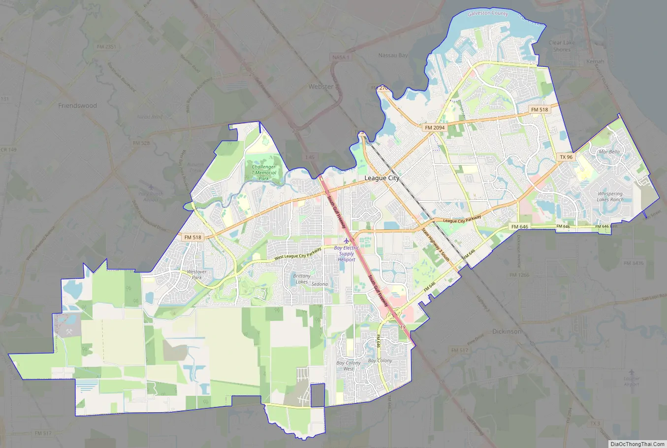
League City Road Map
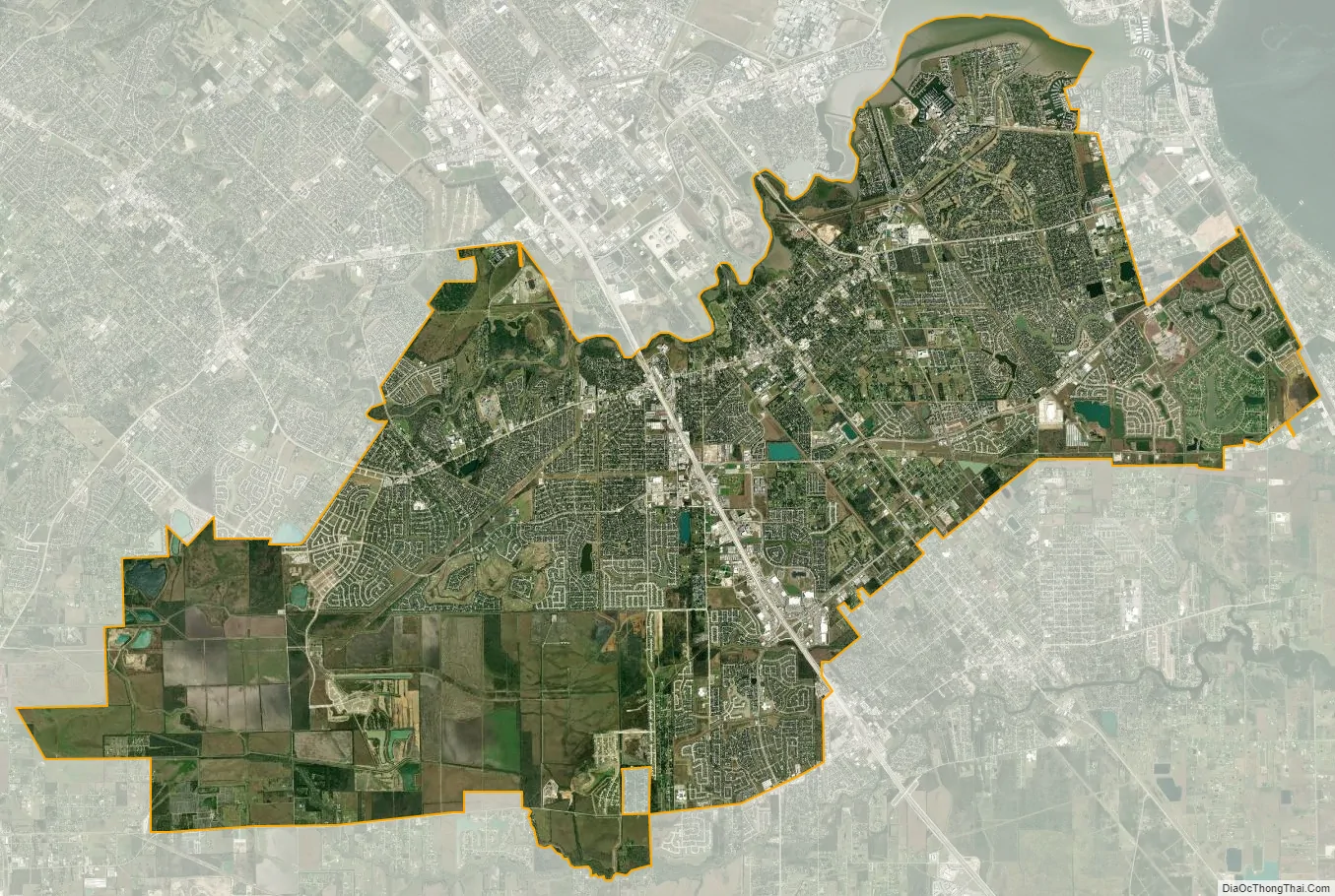
League City city Satellite Map
Geography
League City is located 23 miles (37 km) southeast of Houston, and the same distance northwest of Galveston.
According to the United States Census Bureau, the city has a total area of 53.0 square miles (137.3 km), of which 51.3 square miles (132.8 km) is land and 1.7 square miles (4.4 km), or 3.22%, is water.
Climate
As with the rest of the Houston area, League City features a humid subtropical climate characterized by hot, humid summers and generally mild winters (corresponding to Cfa in Köppen Climate Classification).
See also
Map of Texas State and its subdivision:- Anderson
- Andrews
- Angelina
- Aransas
- Archer
- Armstrong
- Atascosa
- Austin
- Bailey
- Bandera
- Bastrop
- Baylor
- Bee
- Bell
- Bexar
- Blanco
- Borden
- Bosque
- Bowie
- Brazoria
- Brazos
- Brewster
- Briscoe
- Brooks
- Brown
- Burleson
- Burnet
- Caldwell
- Calhoun
- Callahan
- Cameron
- Camp
- Carson
- Cass
- Castro
- Chambers
- Cherokee
- Childress
- Clay
- Cochran
- Coke
- Coleman
- Collin
- Collingsworth
- Colorado
- Comal
- Comanche
- Concho
- Cooke
- Coryell
- Cottle
- Crane
- Crockett
- Crosby
- Culberson
- Dallam
- Dallas
- Dawson
- Deaf Smith
- Delta
- Denton
- Dewitt
- Dickens
- Dimmit
- Donley
- Duval
- Eastland
- Ector
- Edwards
- El Paso
- Ellis
- Erath
- Falls
- Fannin
- Fayette
- Fisher
- Floyd
- Foard
- Fort Bend
- Franklin
- Freestone
- Frio
- Gaines
- Galveston
- Garza
- Gillespie
- Glasscock
- Goliad
- Gonzales
- Gray
- Grayson
- Gregg
- Grimes
- Guadalupe
- Hale
- Hall
- Hamilton
- Hansford
- Hardeman
- Hardin
- Harris
- Harrison
- Hartley
- Haskell
- Hays
- Hemphill
- Henderson
- Hidalgo
- Hill
- Hockley
- Hood
- Hopkins
- Houston
- Howard
- Hudspeth
- Hunt
- Hutchinson
- Irion
- Jack
- Jackson
- Jasper
- Jeff Davis
- Jefferson
- Jim Hogg
- Jim Wells
- Johnson
- Jones
- Karnes
- Kaufman
- Kendall
- Kenedy
- Kent
- Kerr
- Kimble
- King
- Kinney
- Kleberg
- Knox
- La Salle
- Lamar
- Lamb
- Lampasas
- Lavaca
- Lee
- Leon
- Liberty
- Limestone
- Lipscomb
- Live Oak
- Llano
- Loving
- Lubbock
- Lynn
- Madison
- Marion
- Martin
- Mason
- Matagorda
- Maverick
- McCulloch
- McLennan
- McMullen
- Medina
- Menard
- Midland
- Milam
- Mills
- Mitchell
- Montague
- Montgomery
- Moore
- Morris
- Motley
- Nacogdoches
- Navarro
- Newton
- Nolan
- Nueces
- Ochiltree
- Oldham
- Orange
- Palo Pinto
- Panola
- Parker
- Parmer
- Pecos
- Polk
- Potter
- Presidio
- Rains
- Randall
- Reagan
- Real
- Red River
- Reeves
- Refugio
- Roberts
- Robertson
- Rockwall
- Runnels
- Rusk
- Sabine
- San Augustine
- San Jacinto
- San Patricio
- San Saba
- Schleicher
- Scurry
- Shackelford
- Shelby
- Sherman
- Smith
- Somervell
- Starr
- Stephens
- Sterling
- Stonewall
- Sutton
- Swisher
- Tarrant
- Taylor
- Terrell
- Terry
- Throckmorton
- Titus
- Tom Green
- Travis
- Trinity
- Tyler
- Upshur
- Upton
- Uvalde
- Val Verde
- Van Zandt
- Victoria
- Walker
- Waller
- Ward
- Washington
- Webb
- Wharton
- Wheeler
- Wichita
- Wilbarger
- Willacy
- Williamson
- Wilson
- Winkler
- Wise
- Wood
- Yoakum
- Young
- Zapata
- Zavala
- Alabama
- Alaska
- Arizona
- Arkansas
- California
- Colorado
- Connecticut
- Delaware
- District of Columbia
- Florida
- Georgia
- Hawaii
- Idaho
- Illinois
- Indiana
- Iowa
- Kansas
- Kentucky
- Louisiana
- Maine
- Maryland
- Massachusetts
- Michigan
- Minnesota
- Mississippi
- Missouri
- Montana
- Nebraska
- Nevada
- New Hampshire
- New Jersey
- New Mexico
- New York
- North Carolina
- North Dakota
- Ohio
- Oklahoma
- Oregon
- Pennsylvania
- Rhode Island
- South Carolina
- South Dakota
- Tennessee
- Texas
- Utah
- Vermont
- Virginia
- Washington
- West Virginia
- Wisconsin
- Wyoming