Lakeland is the most populous city in Polk County, Florida, part of the Tampa Bay Area, located along Interstate 4 east of Tampa. According to the 2020 U.S. Census Bureau release, the city had a population of 112,641. Lakeland is a principal city of the Lakeland–Winter Haven Metropolitan Statistical Area.
European-American settlers arrived in Lakeland from Missouri, Kentucky, Tennessee, Georgia and South Carolina in the 1870s. The city expanded in the 1880s with the arrival of rail service, with the first freedmen railway workers settling here in 1883. They and European immigrants also came because of land development opportunities with farming, citrus, cattle and phosphate industry developing. Lakeland is home to the 1,267-acre Circle B Bar Reserve.
| Name: | Lakeland city |
|---|---|
| LSAD Code: | 25 |
| LSAD Description: | city (suffix) |
| State: | Florida |
| County: | Polk County |
| Elevation: | 203 ft (62 m) |
| Land Area: | 66.29 sq mi (171.69 km²) |
| Water Area: | 9.01 sq mi (23.34 km²) 10.9% |
| Population Density: | 1,699.27/sq mi (656.09/km²) |
| Area code: | 863 |
| FIPS code: | 1238250 |
| GNISfeature ID: | 2404873 |
| Website: | www.lakelandgov.net |
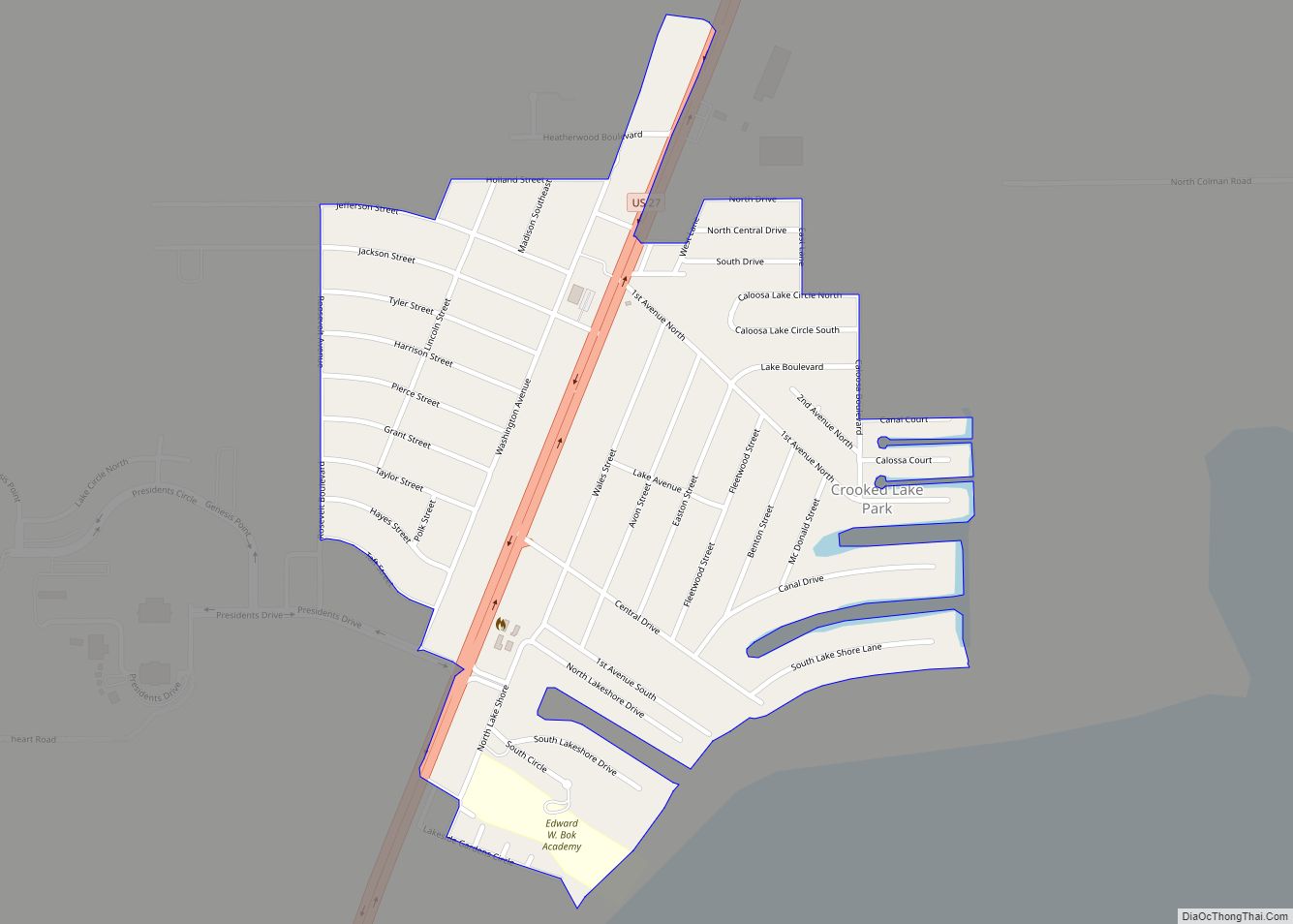
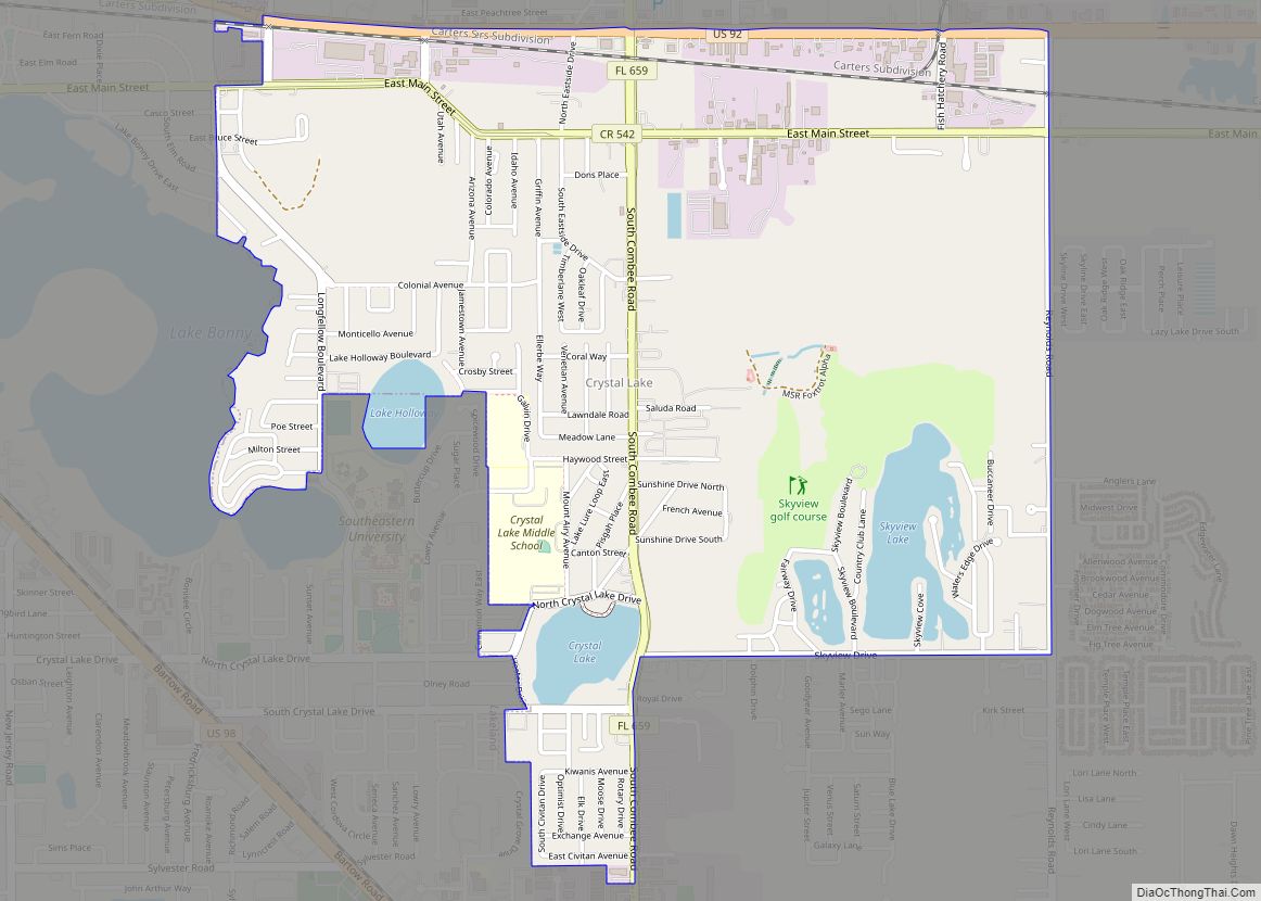
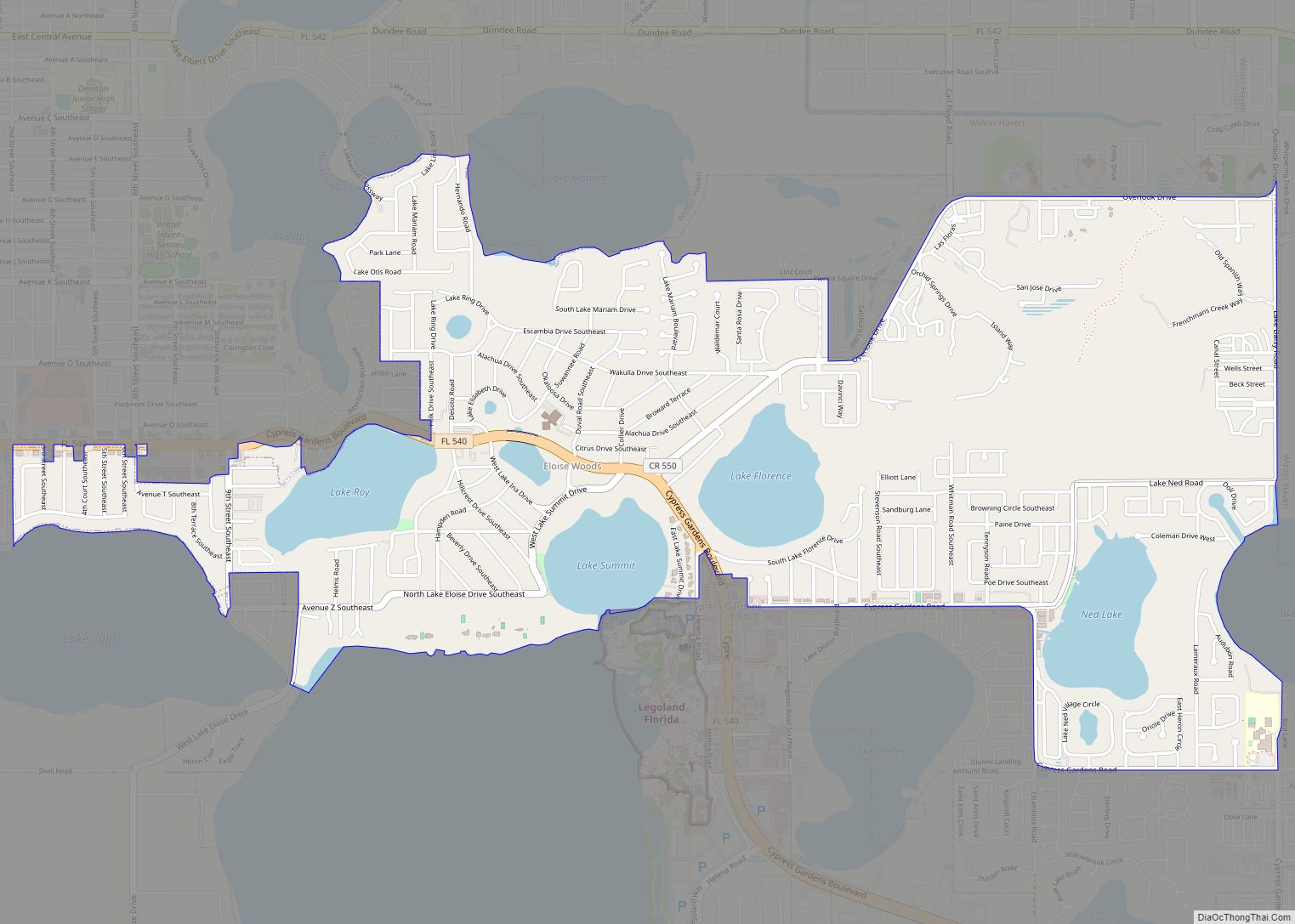
Online Interactive Map
Click on ![]() to view map in "full screen" mode.
to view map in "full screen" mode.
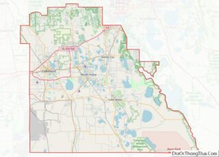
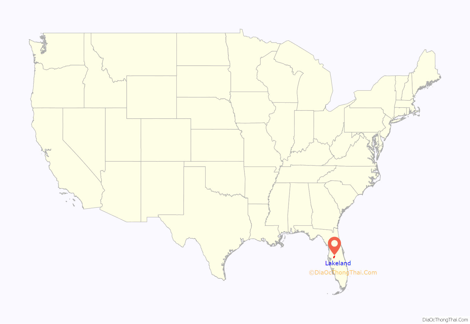
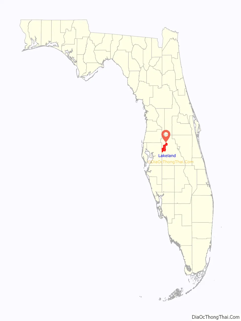
Lakeland location map. Where is Lakeland city?
History
Prehistory
The first Paleo-Indians reached the central Florida area near the end of the last ice age, as they followed big game south. As the ice melted and sea levels rose, these Native Americans ended up staying and thrived on the peninsula for thousands of years. By the time the first Spanish conquistadors arrived, an estimated 350,000 Native Americans were living in what is now the state of Florida. Some of these first early tribes were the Tocobago, Timucua, and Calusa.
In 1527, a Spanish map showed a settlement near the Rio de la Paz. The arrival of the Spanish turned out to be disastrous to these Native American tribes. Within 150 years, the majority of the pre-Columbian Native American peoples of Florida had been wiped out. Those who had not succumbed to diseases such as smallpox or yellow fever were either killed or enslaved. Little is left of these first Native Americans cultures in Polk County except for scant archaeological records, including a few personal artifacts and shell mounds. Eventually, the remnants of these tribes merged with the Creek Indians who had arrived from the north and became the Seminole Indian tribe.
Early history
In the 18th century Native Americans groups, collectively called “Seminoles”, moved into the areas left vacant. In 1823 the United States and the various tribes in Florida signed the Treaty of Moultrie Creek, which created a reservation in central Florida that included what is now Polk County. Starting in 1832 the United States government tried to move the Seminoles in Florida west to the Indian Territory. Most of the Seminoles resisted, resulting in the Second Seminole War, 1835–1842. By the end of that war, most of the Seminoles had been sent west, with a few remnants pushed well south of what is now Polk County.
Statehood and the 19th century
Florida became a state in 1845, and Polk County was established in 1861. After the American Civil War, the county seat was established southeast of Lakeland in Bartow. While most of Polk County’s early history centered on the two cities of Bartow and Fort Meade, eventually, people entered the areas in northern Polk County and began settling in the areas which became Lakeland.
Lakeland was first settled in the 1870s and began to develop as the rail lines reached the area in 1884. Freedmen settled here in 1883, starting development of what became the African-American neighborhood of Moorehead. Lakeland was incorporated January 1, 1885. The town was founded by Abraham Munn (a resident of Louisville, Kentucky), who purchased 80 acres (320,000 m) of land in what is now downtown Lakeland in 1882 and platted the land for the town in 1884. Lakeland was named for the many lakes near the town site.
In April 1898, the Spanish–American War began and started a crucial point in Lakeland’s development. While the war ended quickly and had little effect on most of the nation, the Florida peninsula was used as a launching point for military forces in the war. The then small town of Lakeland housed over 9,000 troops. The 10th Cavalry Regiment, one of the original Buffalo Soldier regiments, were housed on the banks of Lake Wire. Soon after being stationed there, the black troops faced conflict with the local white population. In one event, a local druggist refused to sell to black soldiers and an argument ensued which eventually escalated to the point where the druggist brandished a pistol. The soldiers shot the druggist before he could fire, which resulted in two of the troops being arrested.
The Florida Boom and the 20th century
The Florida boom resulted in the construction of many significant structures in Lakeland, a number of which are now listed on the National Register of Historic Places. This list includes the Terrace Hotel, New Florida Hotel (Regency Tower, currently Lake Mirror Tower), Polk Theatre, Frances Langford Promenade, Polk Museum of Art (not a product of the 1920s boom), Park Trammell Building (formerly the Lakeland Public Library and today the Lakeland Chamber of Commerce), and others. The city also has several historic districts that have many large buildings built during the 1920s and 1940s. The Cleveland Indians held spring training there from 1923 to 1927 at Henley Field Ball Park. Parks were developed surrounding Lake Mirror, including Barnett Children’s Park, Hollis Gardens, and the newest, Allen Kryger Park.
The “boom” period went “bust” quickly, and years passed before the city recovered. Part of the re-emergence was due to the arrival of the Detroit Tigers baseball team in 1934 for spring training. The Tigers still train at Lakeland’s Joker Marchant Stadium and own the city’s Class A Florida State League team, the Lakeland Flying Tigers. In the mid-1930s, the Works Progress Administration built the Lakeland Municipal Airport.
In 1938, Florida Southern College President Ludd Spivey invited architect Frank Lloyd Wright to design a “great education temple in Florida.” Wright worked on the project for over 20 years as Spivey found ways to fund it and find construction workers during World War II. Wright’s original plan called for 18 structures; in total he designed 30, but only 12 were completed. Wright’s textile block motif is used extensively on the campus. The concrete blocks he used are in need of restoration.
Wright titled the project Child of the Sun, describing his Florida Southern buildings as being “out of the ground, into the light, a child of the sun.” It is the largest single-site collection of Frank Lloyd Wright buildings in the world, and attracts 30,000 visitors each year. In 1975, the “Florida Southern Architectural District” was added to the National Register of Historic Places. In 2012, Wright’s campus was designated as a National Historic Landmark by the National Park Service.
World War II
At the beginning of World War II, the Lakeland School of Aeronautics—headquartered at the recently built Lakeland Municipal Airport—became part of a nationwide network of civilian flight schools enjoined for the war effort by the United States Army Air Corps.
Between 1940 and 1945, more than 8,000 Army Air Corps and Army Air Forces cadets trained on two-seater Stearman PT-17 and PT-13 biplanes at the school (renamed the Lodwick School of Aeronautics in the midst of this period).
From June 1941 until October 1942, 1,327 British Royal Air Force cadets trained at the Lakeland facility. The Lodwick School of Aeronautics closed in 1945. The airport ceased flight operations in the 1960; the site has since then housed the Detroit Tigers’ “Tiger Town” baseball complex.
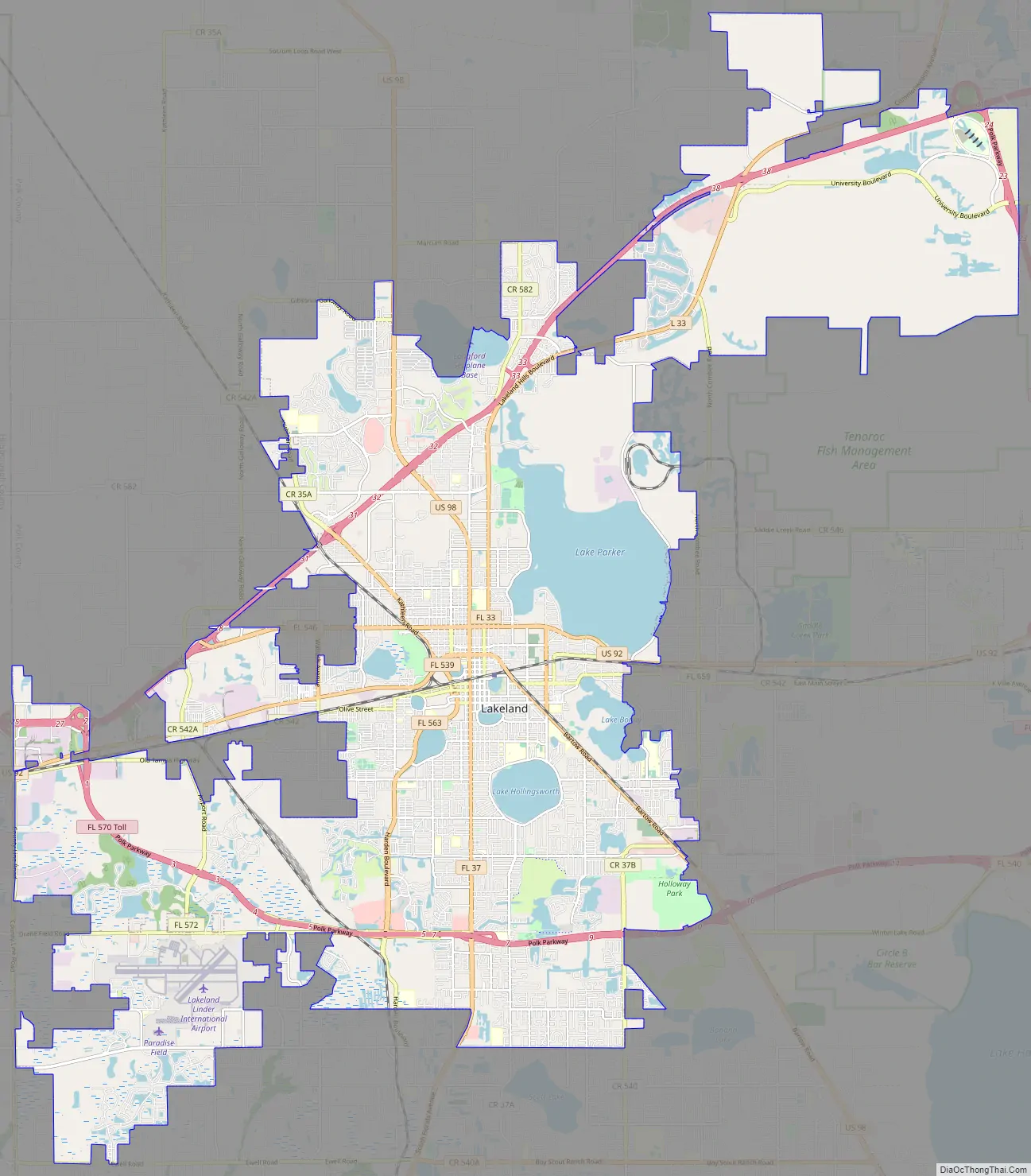
Lakeland Road Map
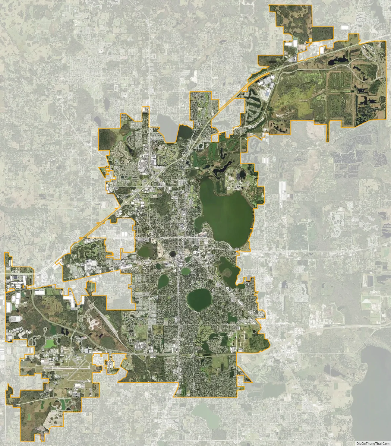
Lakeland city Satellite Map
Geography
According to the United States Census Bureau, the city has an area of 67 sq mi (173.5 km), of which 45.84 sq mi (118.7 km) is land and 5.61 sq mi (14.5 km) (10.90%) is covered by water. Lakeland is within the Central Florida Highlands area of the Atlantic coastal plain, with a terrain consisting of flatland interspersed with gently rolling hills.
Lakes
The dominant feature in Lakeland is the city’s many lakes. Thirty-eight lakes are named, with a number of other bodies of water unnamed, mostly phosphate mine pits that eventually filled with water. The largest of these is Lake Parker, which is 2,550 acres (10.3 km) in size. Much of the culture of Lakeland revolves around its many lakes, and many people use the lakes as reference points in much the same way people in other towns use streets as reference points, such as “I live near Lake Beulah.” In addition to Lake Parker, some of the more prominent lakes in the Lakeland area are Lake Hollingsworth, Lake Morton, Lake Mirror, and Lake Gibson.
Swans are one of the most visible features on the lakes near downtown Lakeland. They have a long history, the first swans appearing around 1923. By 1954, the swans were gone, eradicated by alligators and pets. A Lakeland resident who mourned the passing of the swans wrote to Queen Elizabeth. The royal family allowed the capture of two of the royal swans, and the swans now on the lakes of Lakeland are the descendants of the one surviving royal swan sent by the Queen.
In July 2006, Scott Lake, one of the city’s lakes, was almost totally drained by a cluster of sinkholes. Later the lake partially refilled.
Climate
Lakeland, like most other parts of Florida north of Lake Okeechobee, is in the humid subtropical zone (Köppen climate classification: Cfa). Typically, summers are hot and humid with high temperatures seldom dropping below 90 °F and 70 °F for the overnight low. Like most of Central Florida, afternoon thunderstorms are the norm throughout the summer. Winters in Lakeland are drier and warm, with frequent sunny skies. High temperatures range in the mid 70s during the day, with lows in the 50s. Cold snaps drop temperatures below freezing twice a year on average.
See also
Map of Florida State and its subdivision:- Alachua
- Baker
- Bay
- Bradford
- Brevard
- Broward
- Calhoun
- Charlotte
- Citrus
- Clay
- Collier
- Columbia
- Desoto
- Dixie
- Duval
- Escambia
- Flagler
- Franklin
- Gadsden
- Gilchrist
- Glades
- Gulf
- Hamilton
- Hardee
- Hendry
- Hernando
- Highlands
- Hillsborough
- Holmes
- Indian River
- Jackson
- Jefferson
- Lafayette
- Lake
- Lee
- Leon
- Levy
- Liberty
- Madison
- Manatee
- Marion
- Martin
- Miami-Dade
- Monroe
- Nassau
- Okaloosa
- Okeechobee
- Orange
- Osceola
- Palm Beach
- Pasco
- Pinellas
- Polk
- Putnam
- Saint Johns
- Saint Lucie
- Santa Rosa
- Sarasota
- Seminole
- Sumter
- Suwannee
- Taylor
- Union
- Volusia
- Wakulla
- Walton
- Washington
- Alabama
- Alaska
- Arizona
- Arkansas
- California
- Colorado
- Connecticut
- Delaware
- District of Columbia
- Florida
- Georgia
- Hawaii
- Idaho
- Illinois
- Indiana
- Iowa
- Kansas
- Kentucky
- Louisiana
- Maine
- Maryland
- Massachusetts
- Michigan
- Minnesota
- Mississippi
- Missouri
- Montana
- Nebraska
- Nevada
- New Hampshire
- New Jersey
- New Mexico
- New York
- North Carolina
- North Dakota
- Ohio
- Oklahoma
- Oregon
- Pennsylvania
- Rhode Island
- South Carolina
- South Dakota
- Tennessee
- Texas
- Utah
- Vermont
- Virginia
- Washington
- West Virginia
- Wisconsin
- Wyoming