Map of Reno city

Map of Reno city, Nevada

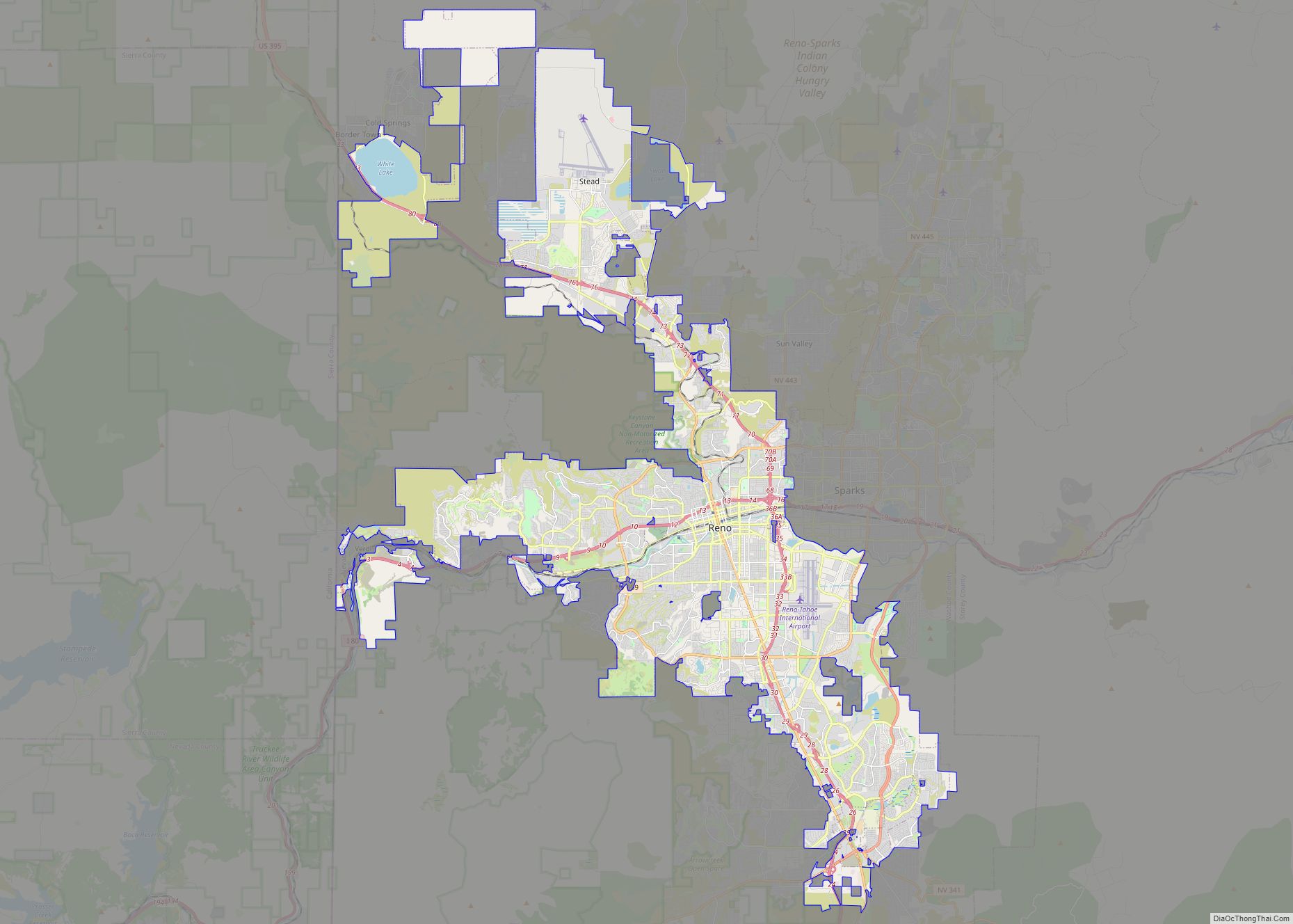
Reno (/ˈriːnoʊ/ REE-noh) is a city in the northwest section of the U.S. state of Nevada, along the Nevada-California border, about 22 miles (35 km) north from Lake Tahoe, known as “The Biggest Little City in the World”. Known for its casino and tourism industry, Reno is the county seat and largest city of Washoe County … Read more

Map of Madison city, Wisconsin

Map of Madison city, Wisconsin

Madison is the county seat of Dane County and the capital city of the U.S. state of Wisconsin. As of the 2020 census the population was 269,840, making it the second-largest city in Wisconsin by population, after Milwaukee, and the 80th-largest in the U.S. The city forms the core of the Madison Metropolitan Area which … Read more

Map of Lubbock city

Map of Lubbock city

Lubbock (/ˈlʌbək/ LUB-ək) is the 10th-most populous city in the U.S. state of Texas and the seat of government of Lubbock County. With a population of 260,993 in 2021, the city is also the 85th-most populous in the United States. The city is in the northwestern part of the state (the region is the Great … Read more

Map of Fort Wayne city

Map of Fort Wayne city

Fort Wayne is a city in and the county seat of Allen County, Indiana, United States. Located in northeastern Indiana, the city is 18 miles (29 km) west of the Ohio border and 50 miles (80 km) south of the Michigan border. The city’s population was 263,886 as of the 2020 Census, making it the second-most populous … Read more

Map of Toledo city, Ohio

Map of Toledo city, Ohio

Toledo (/təˈliːdoʊ/ tə-LEE-doh) is a city in and the county seat of Lucas County, Ohio, United States. At the 2020 census, it had a population of 270,871, making Toledo the fourth-most populous city in the state of Ohio, after Columbus, Cleveland, and Cincinnati. Toledo is also the 79th-largest city in the United States. It is … Read more

Map of Irving city, Texas

Map of Irving city, Texas

Irving is a city in the U.S. state of Texas. Located in Dallas County, it is also an inner ring suburb of Dallas. The city of Irving is part of the Dallas–Fort Worth metroplex. According to a 2019 estimate from the United States Census Bureau, the city population was 239,798, making it the thirteenth-most populous … Read more

Map of Laredo city, Texas

Map of Laredo city, Texas

Laredo (/ləˈreɪdoʊ/ lə-RAY-doh; Spanish: [laˈɾeðo]) is a city in and the county seat of Webb County, Texas, United States, on the north bank of the Rio Grande in South Texas, across from Nuevo Laredo, Tamaulipas, Mexico. Laredo has the distinction of flying seven flags (the flag of the former Republic of the Rio Grande, which is … Read more

Map of Scottsdale city

Map of Scottsdale city

Scottsdale is a city in the eastern part of Maricopa County, Arizona, United States, and is part of the Phoenix metropolitan area. Named Scottsdale in 1894 after its founder Winfield Scott, a retired U.S. Army chaplain, the city was incorporated in 1951 with a population of 2,000. At the 2020 census, the population was 241,361, … Read more

Map of Glendale city

Map of Glendale city, Arizona

Glendale (/ˈɡlɛndeɪl/) is a city in Maricopa County, Arizona, United States, located approximately 9 miles (14 km) northwest of Downtown Phoenix. As of the 2020 census, it has a population of 248,325. Glendale city overview: Name: Glendale city LSAD Code: 25 LSAD Description: city (suffix) State: Arizona County: Maricopa County Elevation: 1,152 ft (351 m) Total Area: 65.09 sq mi … Read more

Map of Winston-Salem city

Map of Winston-Salem city

Winston-Salem is a city in and the county seat of Forsyth County, North Carolina, United States. In the 2020 census, the population was 249,545, making it the second-largest municipality in the Piedmont Triad region, the fifth-most-populous city in North Carolina, the third-largest urban area in North Carolina, and the 90th-most-populous city in the United States. … Read more

Map of Spokane city, Washington

Map of Spokane city, Washington

Spokane (/spoʊˈkæn/ (listen) spoh-KAN) is the largest city and county seat of Spokane County, Washington, United States. It is in eastern Washington, along the Spokane River, adjacent to the Selkirk Mountains, and west of the Rocky Mountain foothills, 92 miles (148 km) south of the Canadian border, 18 miles (30 km) west of the Washington–Idaho border, and … Read more