Gilbert is a town in Maricopa County, Arizona, United States, located southeast of Phoenix within the city’s metropolitan area. Incorporated on July 6, 1920, Gilbert was once known as the “Hay Shipping Capital of the World”. It is the fifth-largest municipality in Arizona, and the fourth-largest in the Phoenix metro area. It covers an area of nearly 69 square miles (179 km).
Gilbert has made a rapid transformation from an agriculture-based community to an economically diverse suburban center located in the southeastern valley of the Greater Phoenix area. It has grown at an extremely high rate over the last three decades, increasing in population from 5,717 in 1980 to 267,918 as of the 2020 census. The town grew at an average annual rate of over 10% during this 40-year period. It is the largest incorporated town in the United States.
| Name: | Gilbert town |
|---|---|
| LSAD Code: | 43 |
| LSAD Description: | town (suffix) |
| State: | Arizona |
| County: | Maricopa County |
| Elevation: | 1,237 ft (377 m) |
| Total Area: | 68.79 sq mi (178.17 km²) |
| Land Area: | 68.59 sq mi (177.64 km²) |
| Water Area: | 0.20 sq mi (0.53 km²) |
| Total Population: | 267,918 |
| Population Density: | 3,906.25/sq mi (1,508.20/km²) |
| ZIP code: | 85233, 85234, 85295, 85296, 85297, 85298 |
| Area code: | 480 |
| FIPS code: | 0427400 |
| Website: | www.gilbertaz.gov |
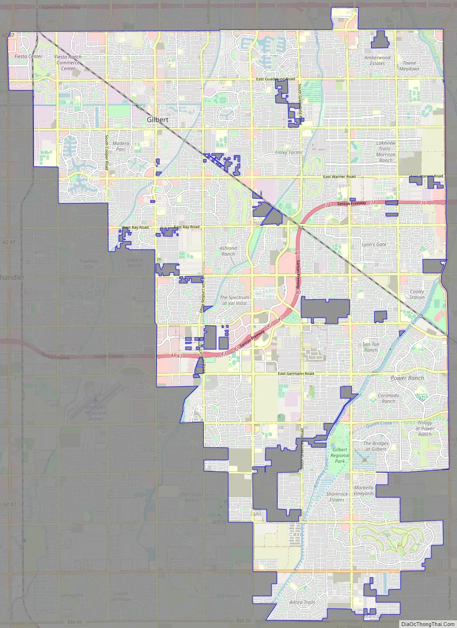
Online Interactive Map
Click on ![]() to view map in "full screen" mode.
to view map in "full screen" mode.
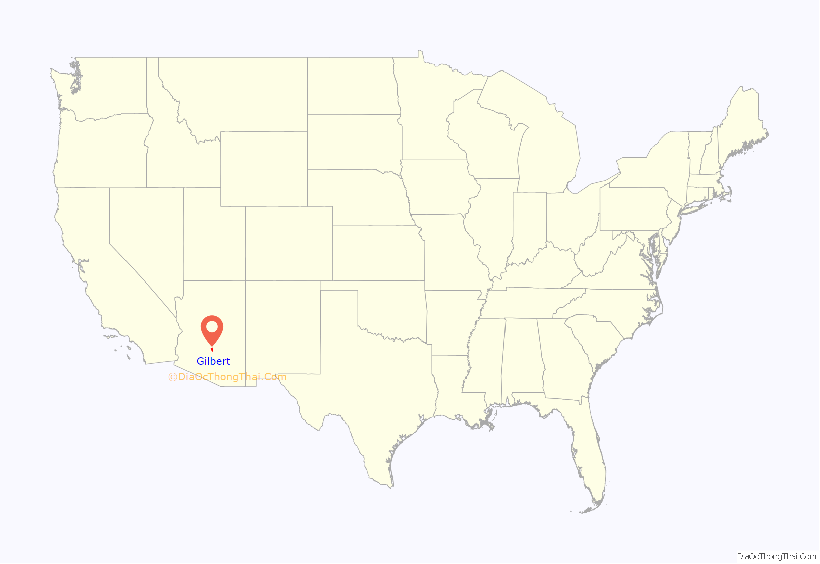
Gilbert location map. Where is Gilbert town?

History
Gilbert was established by William “Bobby” Gilbert, who provided land to the Arizona Eastern Railway in 1902 to construct a rail line between Phoenix and Florence, Arizona. Ayer’s Grocery Store, the first store in Gilbert, opened in 1910 and became the location of the first post office in 1912. The location of the town post office moved several times before settling on the east side of Gilbert Road in downtown, where it still stands today. In 1912, many Mormons who had fled the Mormon colonies in Mexico due to the actions of the forces of Pancho Villa settled in Gilbert. By 1915, they began holding church meetings at the Gilbert Elementary School. In 1918, they were organized into the Gilbert Ward.
Incorporated in July 1920, Gilbert was primarily a farming community fueled by the rail line and construction of the Roosevelt Dam and the Eastern and Consolidated Canals. It remained an agricultural town for many years and was known as the “Hay Capital of the World” from 1911 until the late 1920s.
In 2019, the town ranked highly on three national surveys, related to safety, livability and family life; it was named the fourth-safest (of 182 communities), twelfth-most livable town, and seventh-best place to raise a family in the United States.
Gilbert Road Map
Gilbert city Satellite Map

Geography
Gilbert is located in the southeast portion of the Phoenix metropolitan area. It is south of Mesa, northeast of Chandler, and northwest of Queen Creek.
According to the United States Census Bureau, in the 2000 Census, the town had an estimated area of 40 square miles (104 km). As of 2021 the town has a total area of 68.8 square miles (178 km), of which 0.2 square miles (0.5 km), or 0.30%, are water.
Climate
Gilbert has a subtropical, hot desert type of climate (Köppen climate classification BWh) with dry and hot summers, and mild to warm winters, with little rainfall.
See also
Map of Arizona State and its subdivision: Map of other states:- Alabama
- Alaska
- Arizona
- Arkansas
- California
- Colorado
- Connecticut
- Delaware
- District of Columbia
- Florida
- Georgia
- Hawaii
- Idaho
- Illinois
- Indiana
- Iowa
- Kansas
- Kentucky
- Louisiana
- Maine
- Maryland
- Massachusetts
- Michigan
- Minnesota
- Mississippi
- Missouri
- Montana
- Nebraska
- Nevada
- New Hampshire
- New Jersey
- New Mexico
- New York
- North Carolina
- North Dakota
- Ohio
- Oklahoma
- Oregon
- Pennsylvania
- Rhode Island
- South Carolina
- South Dakota
- Tennessee
- Texas
- Utah
- Vermont
- Virginia
- Washington
- West Virginia
- Wisconsin
- Wyoming


