Glendale (/ˈɡlɛndeɪl/) is a city in Maricopa County, Arizona, United States, located approximately 9 miles (14 km) northwest of Downtown Phoenix. As of the 2020 census, it has a population of 248,325.
| Name: | Glendale city |
|---|---|
| LSAD Code: | 25 |
| LSAD Description: | city (suffix) |
| State: | Arizona |
| County: | Maricopa County |
| Elevation: | 1,152 ft (351 m) |
| Total Area: | 65.09 sq mi (168.59 km²) |
| Land Area: | 64.68 sq mi (167.53 km²) |
| Water Area: | 0.41 sq mi (1.06 km²) |
| Total Population: | 248,325 |
| Population Density: | 3,839.17/sq mi (1,482.30/km²) |
| ZIP code: | 85301-85318 |
| Area code: | 623 and 602 |
| FIPS code: | 0427820 |
| GNISfeature ID: | 5060 |
| Website: | www.glendaleaz.com |
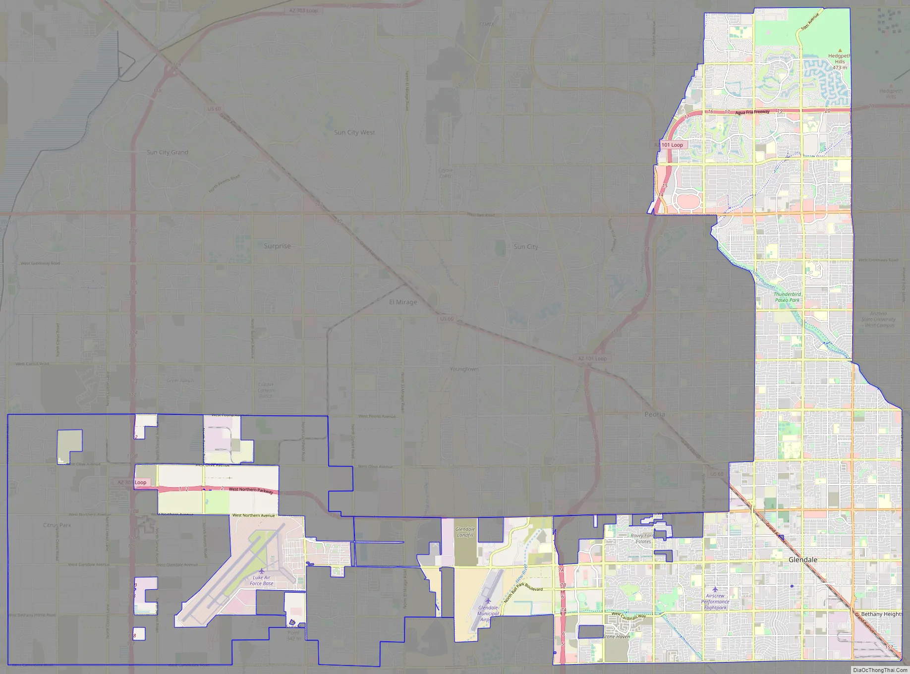
Online Interactive Map
Click on ![]() to view map in "full screen" mode.
to view map in "full screen" mode.
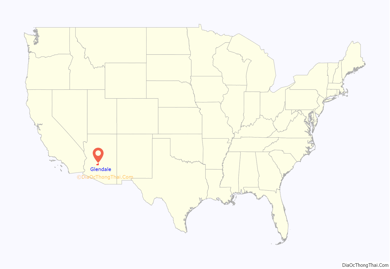
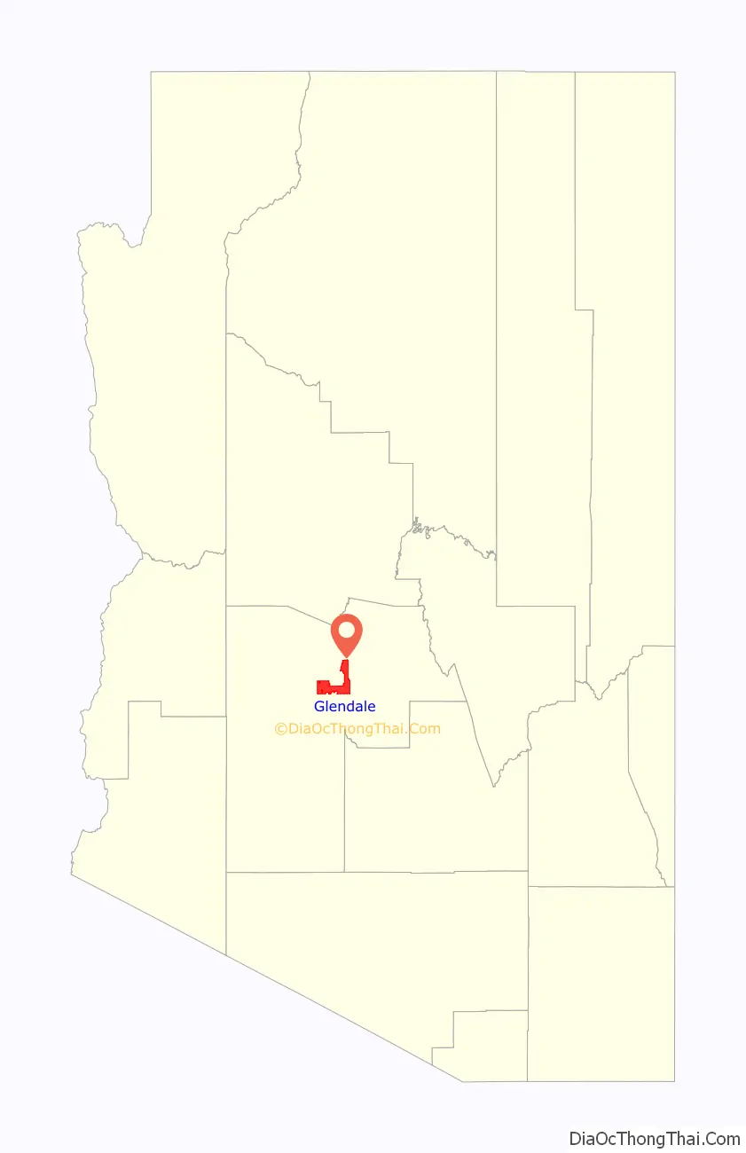
Glendale location map. Where is Glendale city?
History
In the late 1800s the area that is now Glendale was all desert. William John Murphy, a native of New Hartford, New York, who resided in the town of Flagstaff in what was then the territory of Arizona, was in charge of building the 40-mile-long (64 km) Arizona Canal from Granite Reef to New River for the Arizona Canal Company. In 1885, he completed the canal, which would bring water to the desert land. Murphy was deep in debt, since he had agreed to be paid in Arizona Canal Company stock and bonds and land instead of cash.
In 1887, Murphy formed the Arizona Improvement Company. His objective was to sell the land and water rights south of the canal. Murphy raised capital from out of state sources in order to meet payroll and construction expenses. Murphy decided to refer to this land as “Glendale”. In order to develop and interest potential investors and settlers in this new town, Murphy decided to provide a better way of access from Phoenix to Glendale and ending in the town of Peoria by building an 18-mile-long (29 km) diagonal road which he named Grand Avenue.
In 1891, Burgess Hadsell worked with Murphy to bring 70 Brethren and River Brethren families to Glendale to form a temperance colony. Soon settlers, attracted by the town’s ban on alcoholic beverages, continued to arrive. In 1895, Murphy platted the original town site and amended the plat to include a town park and some business lots. It was bounded by Lamar Road on the south, 55th Avenue on the east, Myrtle Avenue on the north, and 59th Avenue on the west. The construction of a railroad from Prescott to Phoenix was made possible with an exchange of the right-of-way made by Murphy along Grand Avenue. The railroad allowed Glendale settlers to transport goods to the north and easily receive building materials.
The construction and commercial applications of the Beet Sugar Factory in 1906 also contributed to the growth of Glendale. Though the operations of the factory only lasted until 1913, it played an important role in the increase of immigrant and migrant settlers in the city.
Glendale Road Map
Glendale city Satellite Map

Geography
According to the United States Census Bureau, the city has a total area of 65.1 square miles (169 km), of which 0.4 square miles (1.0 km), or 0.63%, are is water. The New River and Agua Fria River flow southward through the western extremities of the city.
Climate
See also
Map of Arizona State and its subdivision: Map of other states:- Alabama
- Alaska
- Arizona
- Arkansas
- California
- Colorado
- Connecticut
- Delaware
- District of Columbia
- Florida
- Georgia
- Hawaii
- Idaho
- Illinois
- Indiana
- Iowa
- Kansas
- Kentucky
- Louisiana
- Maine
- Maryland
- Massachusetts
- Michigan
- Minnesota
- Mississippi
- Missouri
- Montana
- Nebraska
- Nevada
- New Hampshire
- New Jersey
- New Mexico
- New York
- North Carolina
- North Dakota
- Ohio
- Oklahoma
- Oregon
- Pennsylvania
- Rhode Island
- South Carolina
- South Dakota
- Tennessee
- Texas
- Utah
- Vermont
- Virginia
- Washington
- West Virginia
- Wisconsin
- Wyoming


