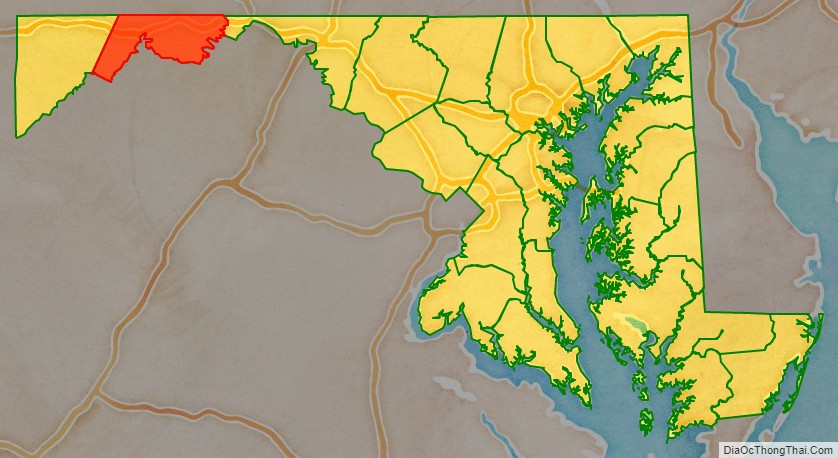
Allegany County is located in the northwestern part of the U.S. state of Maryland. As of the 2020 census, the population was 68,106. Its county seat is Cumberland. The name Allegany may come from a local Lenape word, welhik hane or oolikhanna, which means ‘best flowing river of the hills’ or ‘beautiful stream’. A number of counties and a river in the Appalachian region of the U.S. are named Allegany, Allegheny, or Alleghany. Allegany County is part of the Cumberland, MD-WV Metropolitan Statistical Area. It is a part of the Western Maryland “panhandle”.
| Name: | Allegany County |
|---|---|
| FIPS code: | 24-001 |
| State: | Maryland |
| Founded: | December 25, 1789 |
| Named for: | Allegheny Mountains |
| Seat: | Cumberland |
| Largest city: | Cumberland |
| Total Area: | 430 sq mi (1,100 km²) |
| Land Area: | 424 sq mi (1,100 km²) |
| Total Population: | 68,106 |
| Population Density: | 160/sq mi (61/km²) |
| Time zone: | UTC−5 (Eastern) |
| Summer Time Zone (DST): | UTC−4 (EDT) |
| Website: | gov.allconet.org |
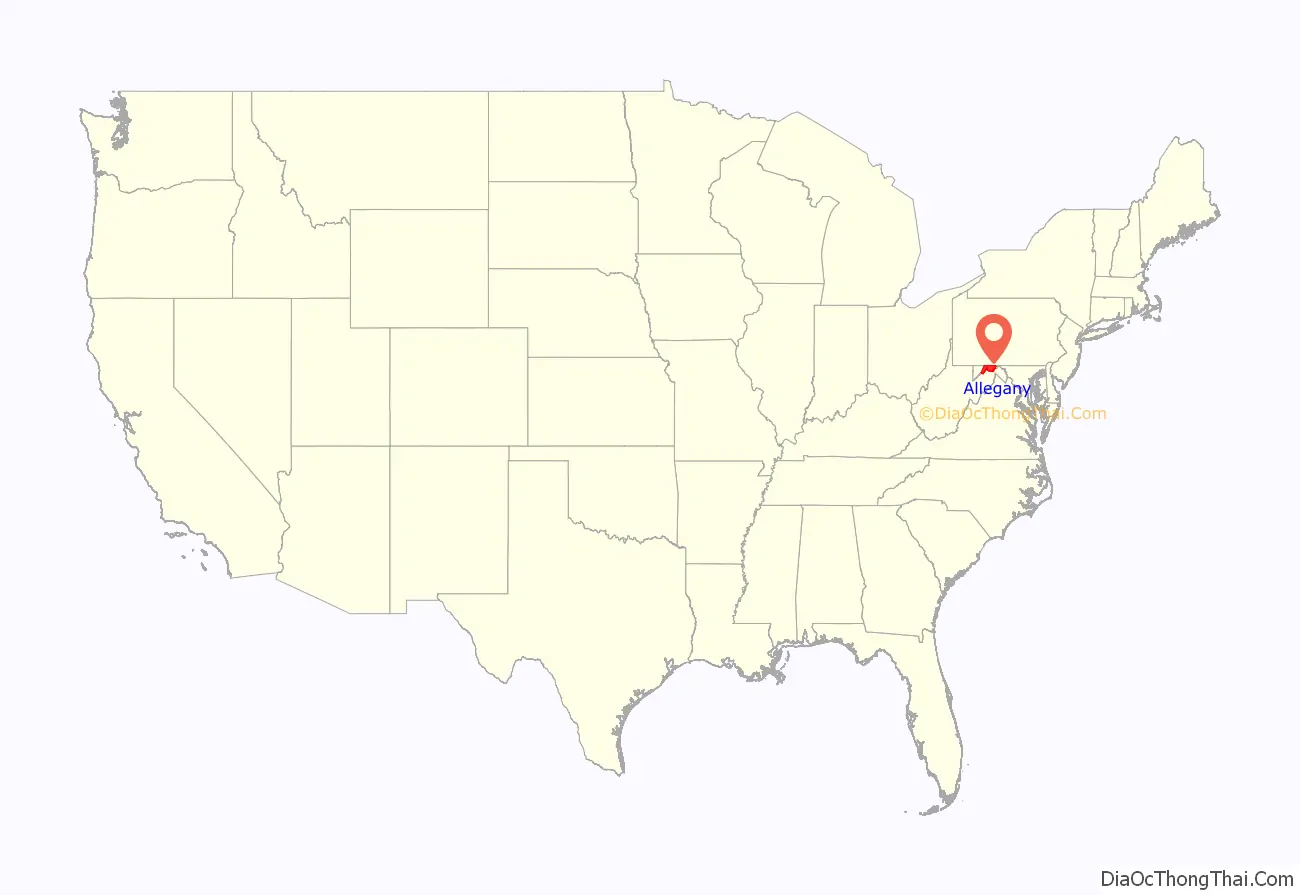
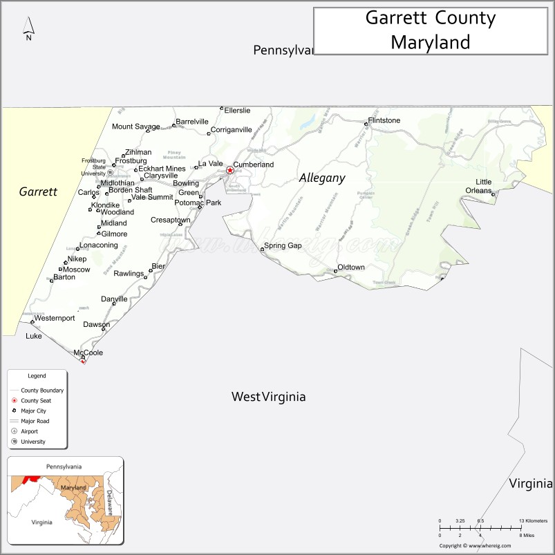
Allegany County location map. Where is Allegany County?
History
The western part of Maryland (including the present Allegany County) was originally part of Prince George’s County when Maryland was formed in 1696. This county included six current counties, and by repeated splitting, new ones were generated: Frederick from Prince George’s in 1748; and Montgomery and Washington from Frederick in 1776.
Allegany County was formed in 1789 by the splitting of Washington County. At the time it was the westernmost county in Maryland, but a split in 1872 produced Garrett County, the current westernmost county.
Prior to 1789, the Virginia Commonwealth claimed the area of present-day Garrett and Allegany Counties, of Maryland. A 1771–1780 map of Virginias counties, shows Hampshire County, but the Virginia State boundary has Hampshire outside that boundary line. When conducting genealogical research, it is possible to find tax records for Hampshire County, Virginia included in Maryland records, and Maryland records in Hampshire County… Hampshire County was formed in 1758 by the Virginia Commonwealth and at its founding, included the present day counties of Garrett and Allegany Counties in Maryland, and Hardy, Grant, Mineral, and part of Morgan Counties in what is now West Virginia.
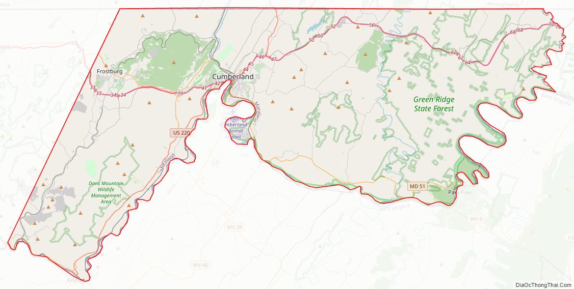
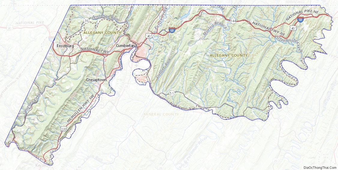
Allegany County Road Map
Geography
According to the U.S. Census Bureau, the county has a total area of 430 square miles (1,100 km), of which 424 square miles (1,100 km) is land and 5.8 square miles (15 km) (1.3%) is water.
Allegany County lies primarily in the Ridge-and-Valley Country of the Appalachian Mountains. It is bordered to the north by the Mason–Dixon line with Pennsylvania, to the south by the Potomac River and West Virginia, to the east by Sideling Hill Creek and Washington County, Maryland, and to the west by a land border with Garrett County, Maryland. The western part of the county contains a portion of the steep Allegheny Front, which marks the transition to the higher-elevation Appalachian Plateau and Allegheny Mountain region. The town of Frostburg is located west of the Front at an elevation of nearly 2,100 feet above sea level, while the county seat of Cumberland, only eight miles away, has an elevation of only 627 feet.
Mountains
- Breakneck Hill (1,872 ft)
- Collier Mountain (1,460 ft)
- Dans Mountain (2,898 ft)
- Evitts Mountain (1,959–2,260 ft.)
- Green Ridge Mountain
- Haystack Mountain (1,240+ ft.)
- Irons Mountain
- Martin Mountain (1,974 ft)
- Nicholas Mountain (1,760 ft)
- Piney Mountain
- Polish Mountain (1,783 ft)
- Ragged Mountain (1,740 ft)
- Town Hill (2,039 ft)
- Warrior Mountain (2,185 ft)
- Wills Mountain (1,960+ ft.)
Adjacent counties
- Somerset County, Pennsylvania (northwest)
- Bedford County, Pennsylvania (north)
- Fulton County, Pennsylvania (northeast)
- Washington County (east)
- Morgan County, West Virginia (southeast)
- Hampshire County, West Virginia (south)
- Mineral County, West Virginia (southwest)
- Garrett County (west)
National protected areas
- Chesapeake and Ohio Canal National Historical Park (part)
Allegany County Topographic Map
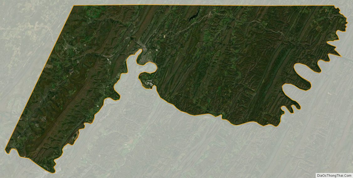
Allegany County Satellite Map
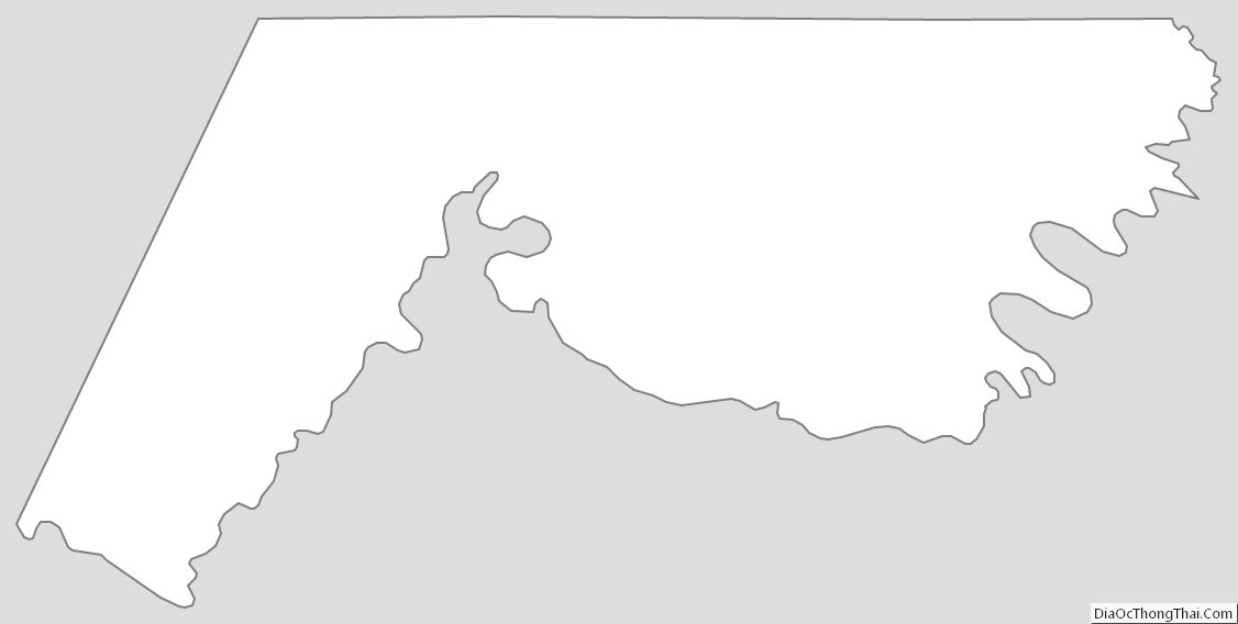
Allegany County Outline Map