Anderson County is a county located in the U.S. state of Kentucky. As of the 2020 census, the population was 23,852. Its county seat is Lawrenceburg. The county was formed in 1827 and named for Richard Clough Anderson Jr., a Kentucky legislator, U.S. Congressman and Minister to Colombia. Anderson County is part of the Frankfort, KY Micropolitan Statistical Area, which is also included in the Lexington-Fayette-Richmond-Frankfort, KY Combined Statistical Area.
| Name: | Anderson County |
|---|---|
| FIPS code: | 21-005 |
| State: | Kentucky |
| Founded: | 1827 |
| Named for: | Richard Clough Anderson Jr. |
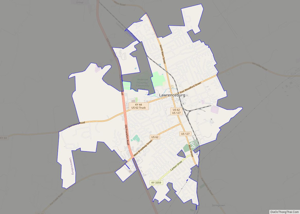
| Seat: | Lawrenceburg |
| Largest city: | Lawrenceburg |
| Total Area: | 204 sq mi (530 km²) |
| Land Area: | 202 sq mi (520 km²) |
| Total Population: | 23,852 |
| Population Density: | 120/sq mi (45/km²) |
| Time zone: | UTC−5 (Eastern) |
| Summer Time Zone (DST): | UTC−4 (EDT) |
| Website: | andersoncounty.ky.gov |
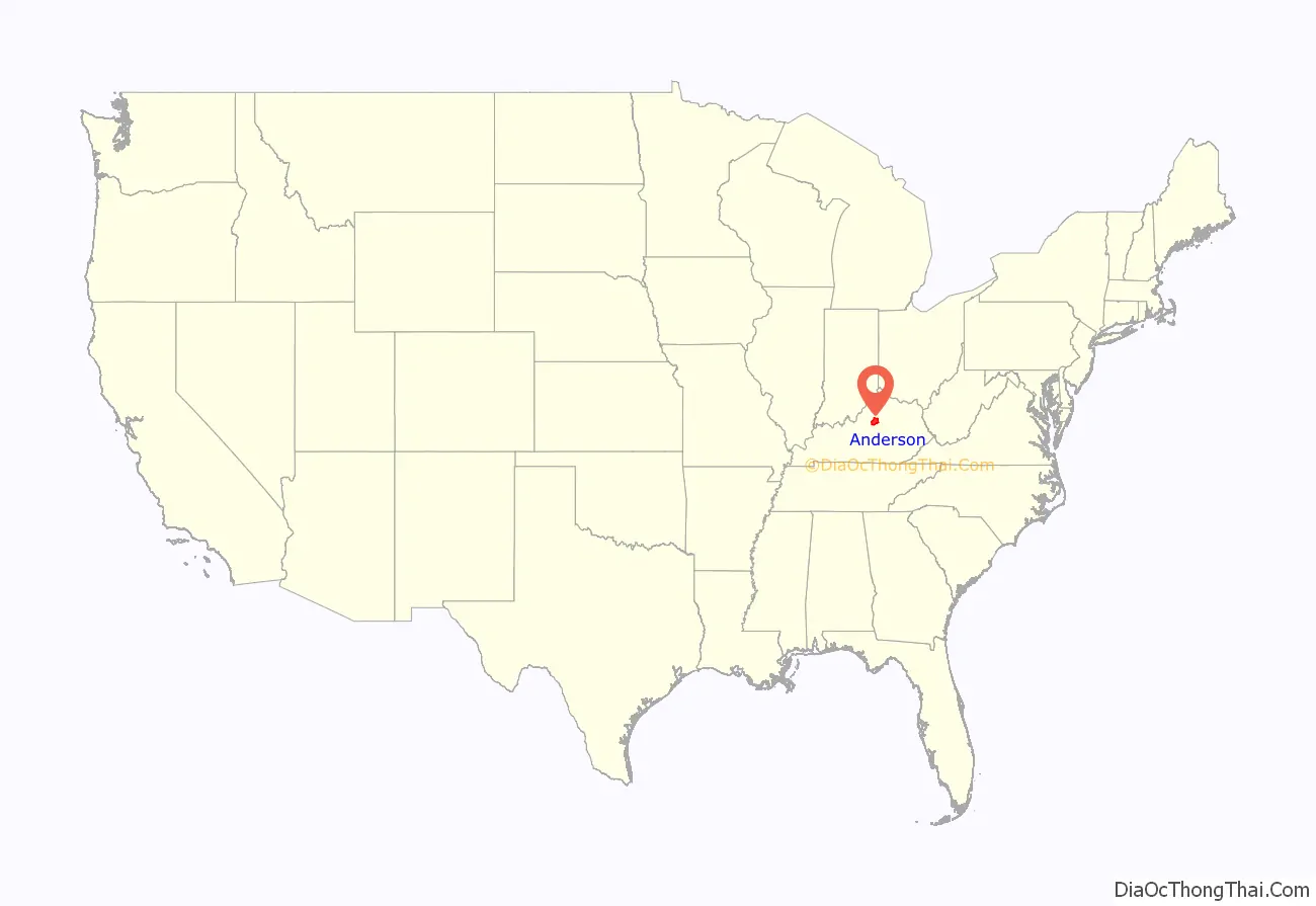
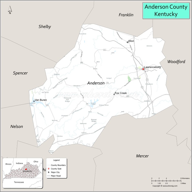
Anderson County location map. Where is Anderson County?
History
Anderson County was established in 1827 from land given by Franklin, Mercer, and Washington counties.
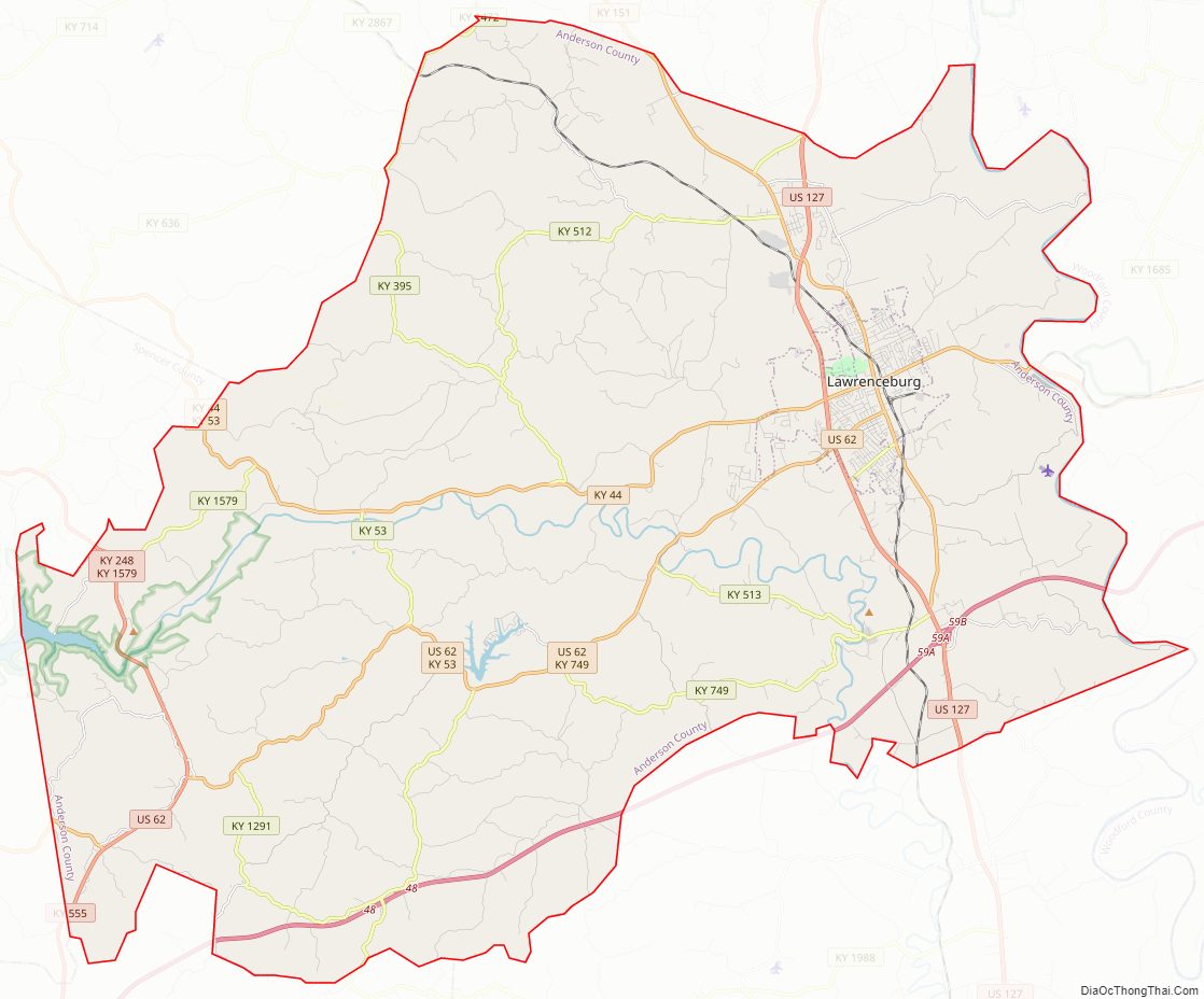
Anderson County Road Map
Geography
According to the United States Census Bureau, the county has a total area of 204 square miles (530 km), of which 202 square miles (520 km) is land and 2.4 square miles (6.2 km) (1.2%) is water. The county is in the heart of the Kentucky Bluegrass region along the Kentucky River.
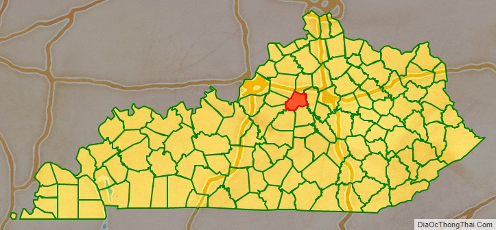
Adjacent counties
- Franklin County (north)
- Woodford County (east)
- Mercer County (southeast)
- Washington County (south)
- Nelson County (southwest)
- Spencer County (west)
- Shelby County (northwest)
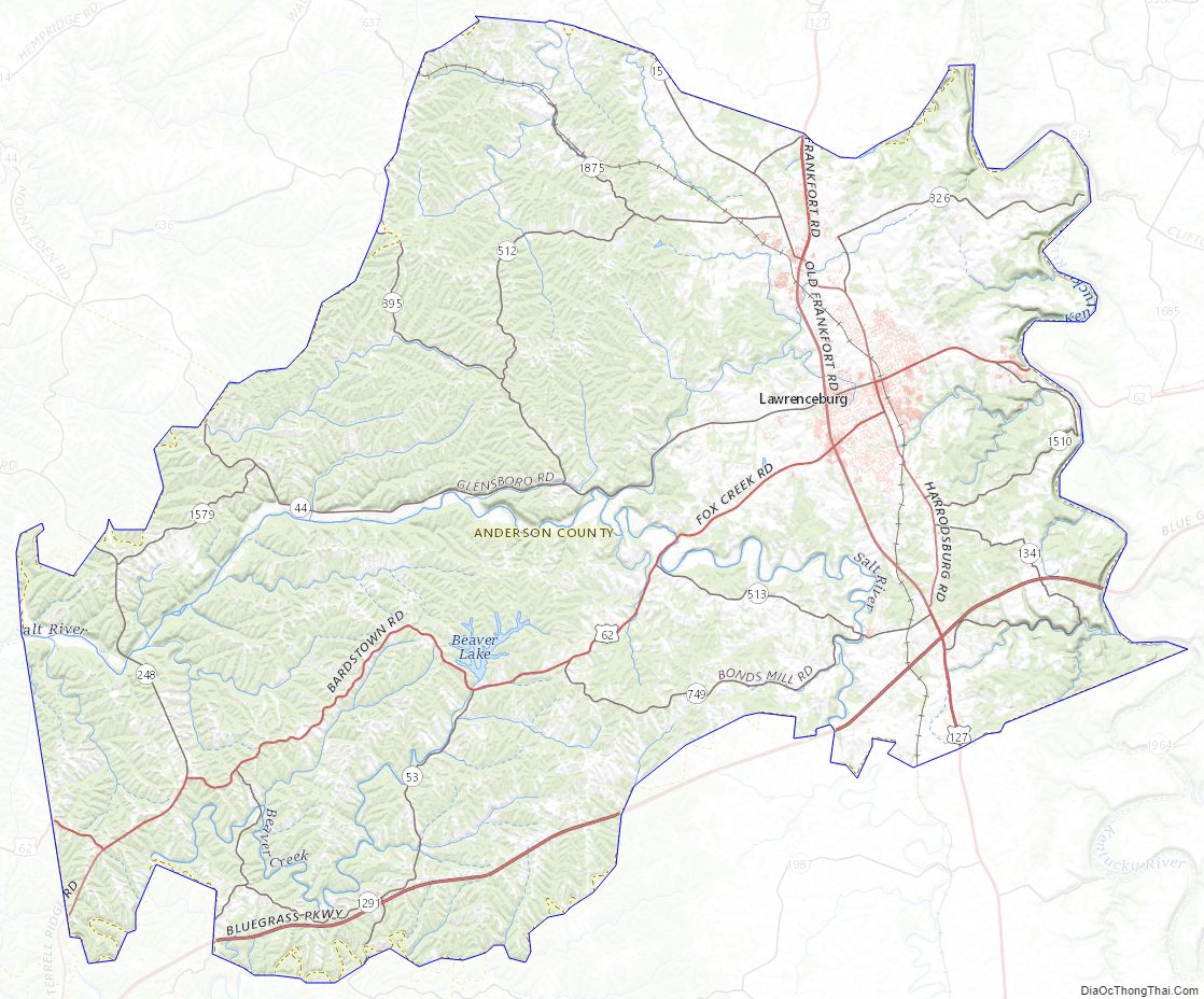
Anderson County Topographic Map
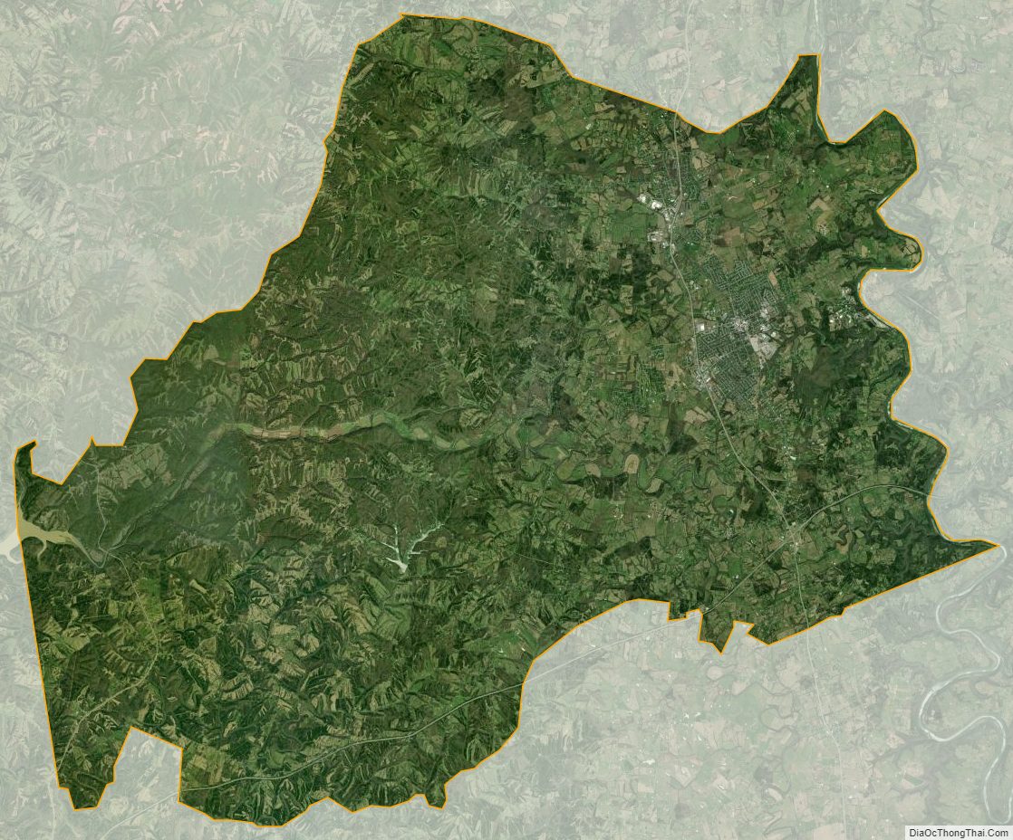
Anderson County Satellite Map
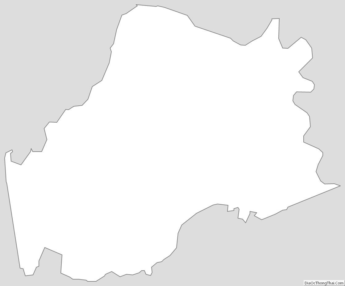
Anderson County Outline Map