Anderson County is a county located in the U.S. state of South Carolina. As of the 2020 census, its population was 203,718. Its county seat is Anderson. Named for Revolutionary War leader Robert Anderson, the county is located in northwestern South Carolina, along the state line of Georgia. Anderson County is included in the Greenville-Anderson-Mauldin, SC Metropolitan Statistical Area. Anderson County contains 55,950-acre (226 km) Lake Hartwell, a U.S. Army Corps of Engineers lake with nearly 1,000 miles (2,000 km) of shoreline for residential and recreational use. The area is a growing industrial, commercial and tourist center. It is the home of Anderson University, a private, selective comprehensive university of approximately 3,000 undergraduate and graduate students
| Name: | Anderson County |
|---|---|
| FIPS code: | 45-007 |
| State: | South Carolina |
| Founded: | 1826 |
| Named for: | Robert Anderson |
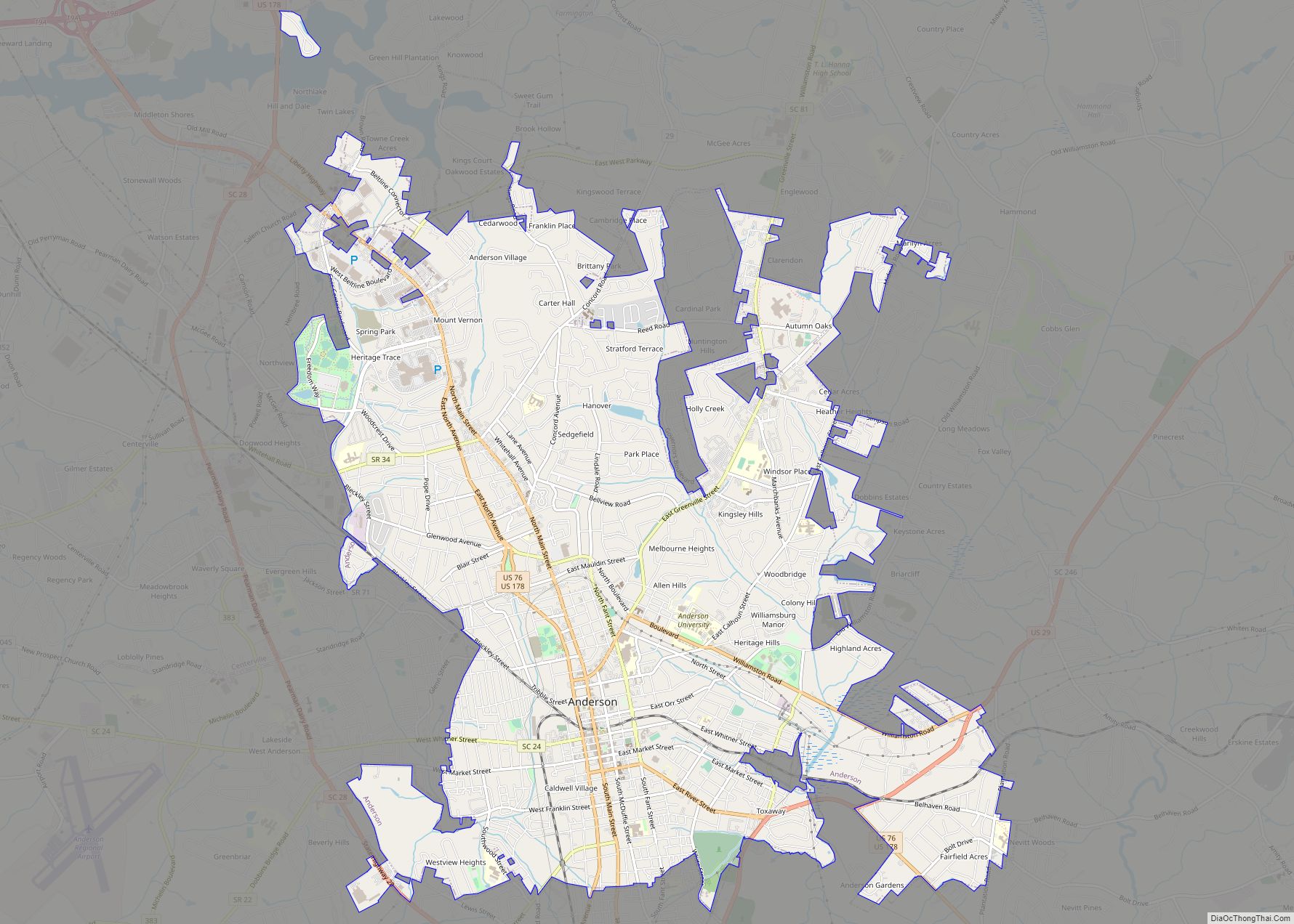
| Seat: | Anderson |
| Largest city: | Anderson |
| Total Area: | 757 sq mi (1,960 km²) |
| Land Area: | 715 sq mi (1,850 km²) |
| Total Population: | 206,908 |
| Population Density: | 289.4/sq mi (111.7/km²) |
| Time zone: | UTC−5 (Eastern) |
| Summer Time Zone (DST): | UTC−4 (EDT) |
| Website: | www.andersoncountysc.org |
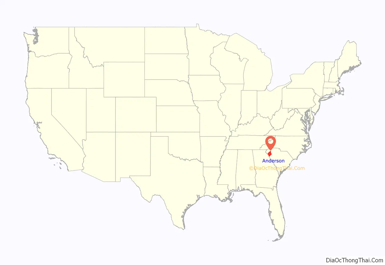
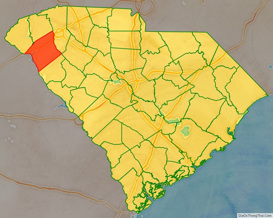
Anderson County location map. Where is Anderson County?
History
Anderson County was founded in 1826 after the dissolution of the Pendleton District and was named after Robert Anderson, an American Revolutionary War general. During the Civil War, the county became a center of ammunitions production for the Confederate States Army. The county seat and largest city is Anderson; both the county and city are also located in the Greenville-Anderson-Mauldin, SC Metropolitan Statistical Area. Agriculturally, the county is ranked high in production. Its ranked first in the southeast, second in the south, and twenty-third in the United States according to the United States Department of Commerce. Cotton, corn, and various fruits and vegetables are grown along with a large poultry industry located the county.
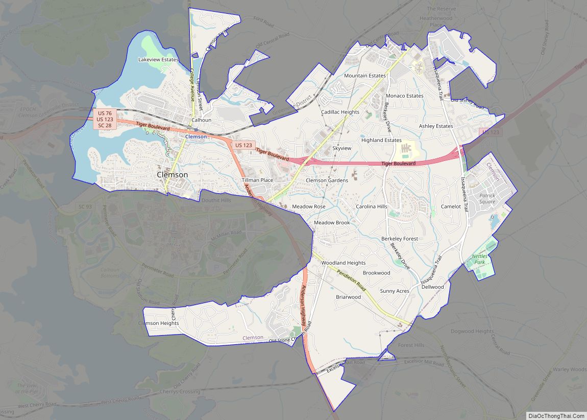
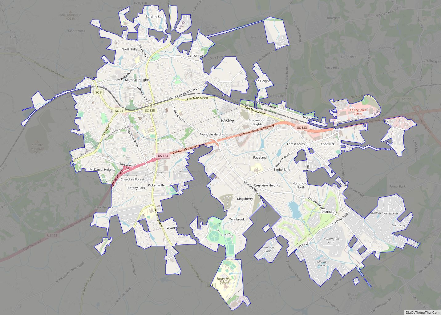
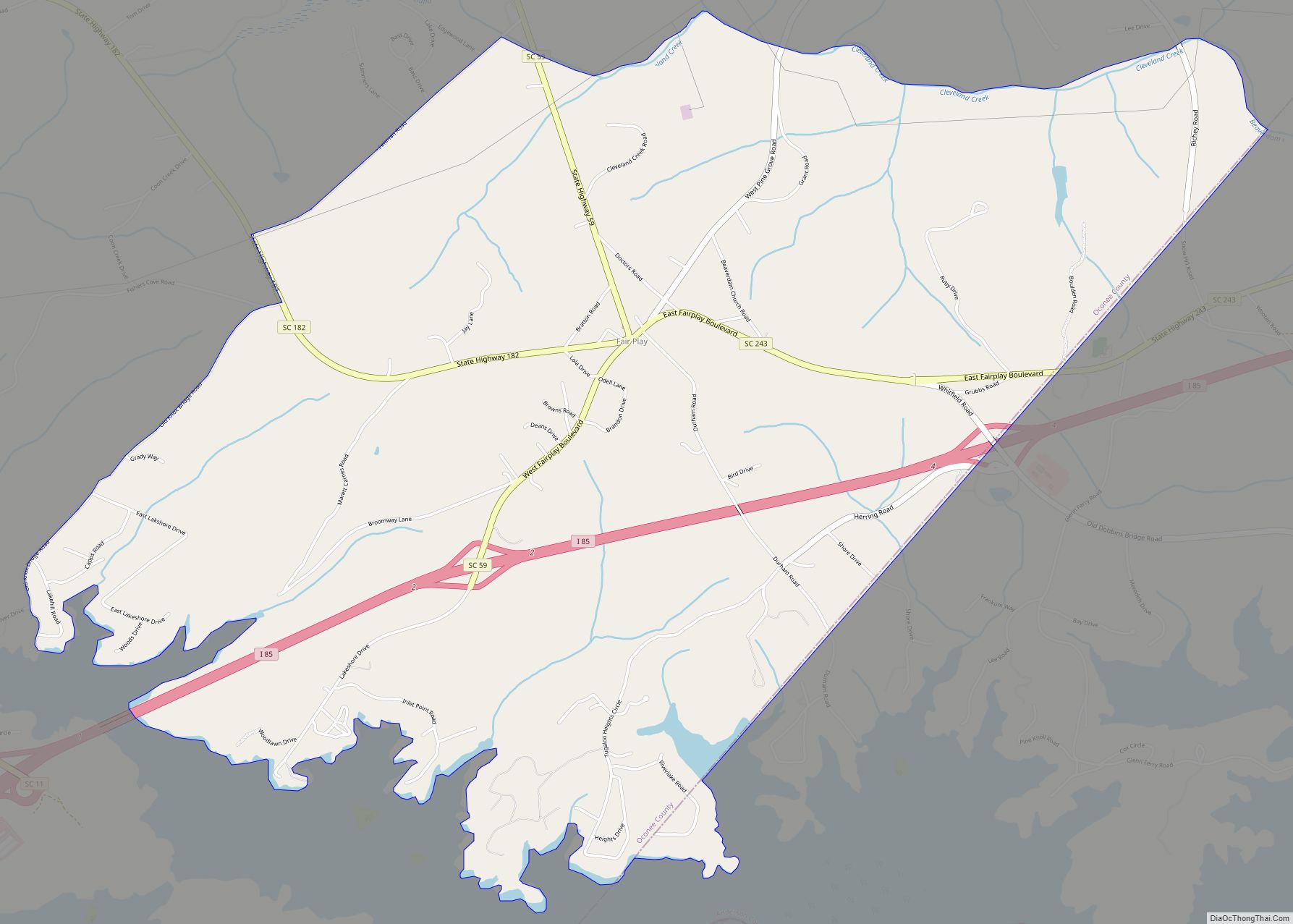
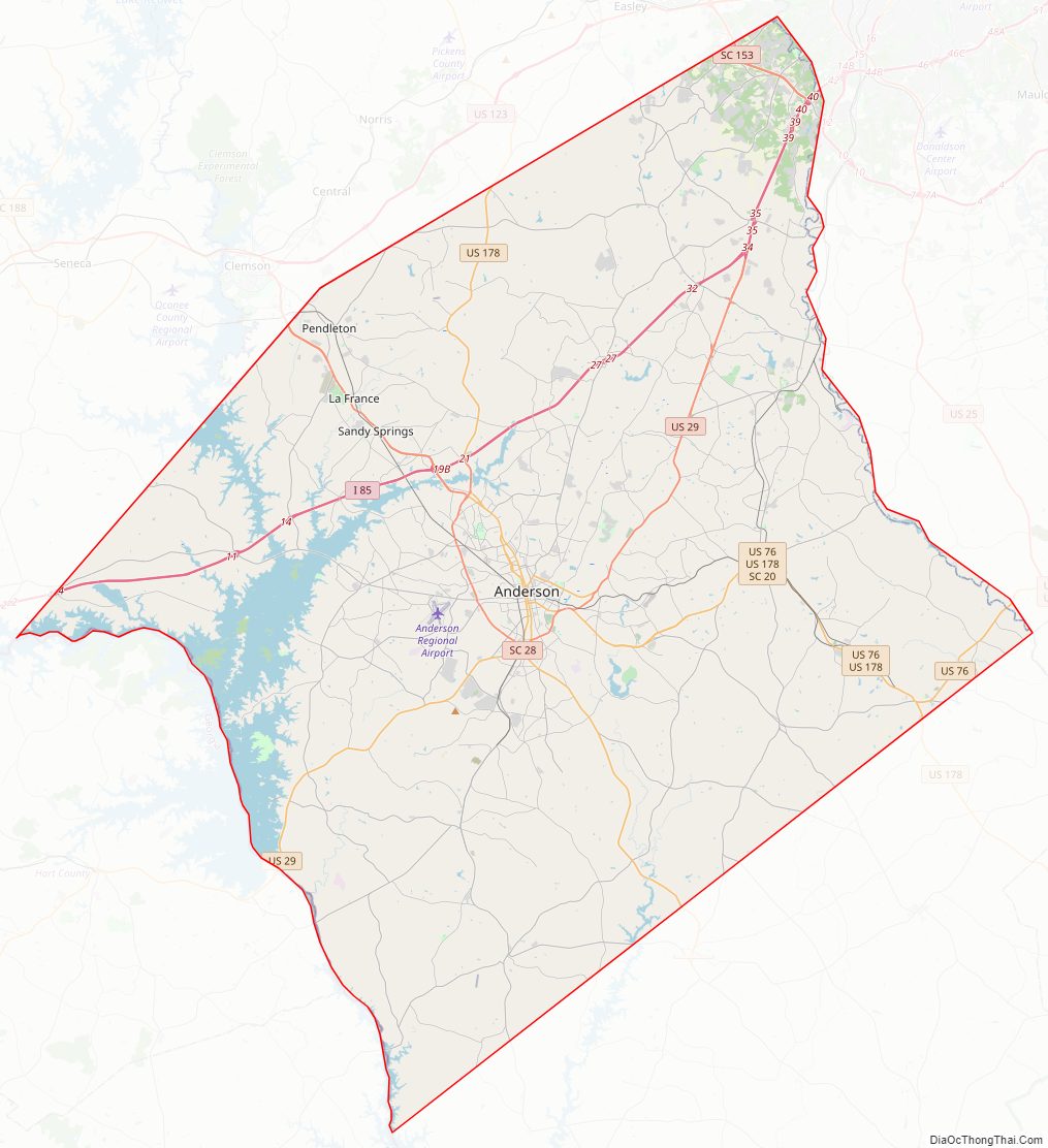
Anderson County Road Map
Geography
According to the U.S. Census Bureau, the county has a total area of 757 square miles (1,960 km), of which 715 square miles (1,850 km) is land and 42 square miles (110 km) (5.5%) is water. Anderson County is in the Savannah River basin and the Saluda River basin.
State and local protected areas
- Broyles Recreation Area
- Sadlers Creek State Park
Major water bodies
- Chattooga River
- Lake Hartwell
- Saluda River
- Savannah River
- Lake Secession
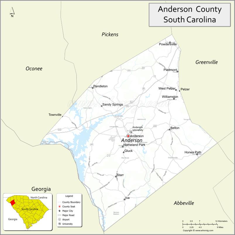
Adjacent counties
- Pickens County – north
- Greenville County – northeast
- Laurens County – east
- Abbeville County – south
- Elbert County, Georgia – southwest
- Hart County, Georgia – west
- Oconee County – northwest
Major highways
- I-85
- US 29
- US 29 Bus.
- US 29 Conn.
- US 76
- US 178
- US 178 Conn.
- SC 8
- SC 20
- SC 20 Conn.
- SC 24
- SC 28
- SC 28 Bus. (Anderson)
- SC 28 Bus. (Pendleton)
- SC 81
- SC 88
- SC 187
- SC 252
- SC 247
Major infrastructure
- Anderson Regional Airport
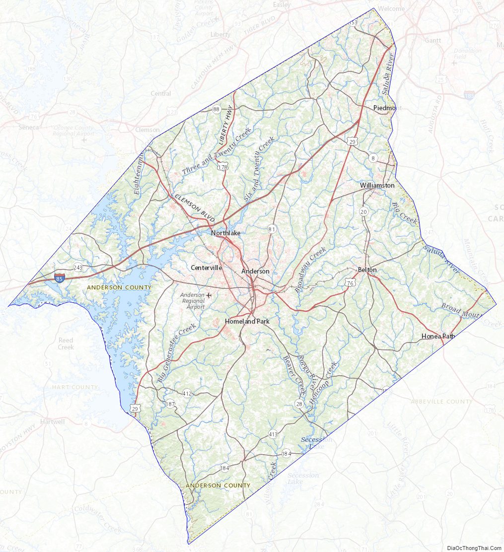
Anderson County Topographic Map
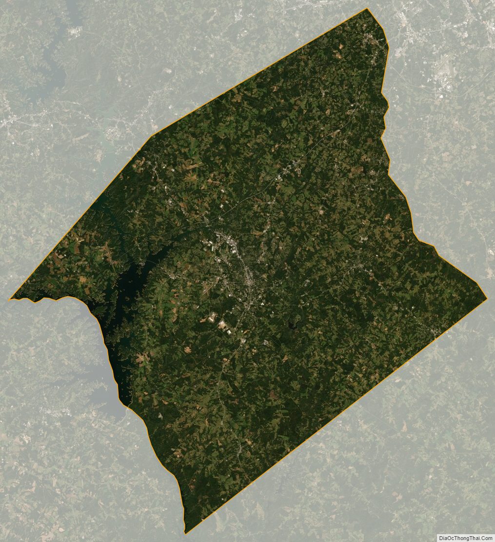
Anderson County Satellite Map
Anderson County Outline Map