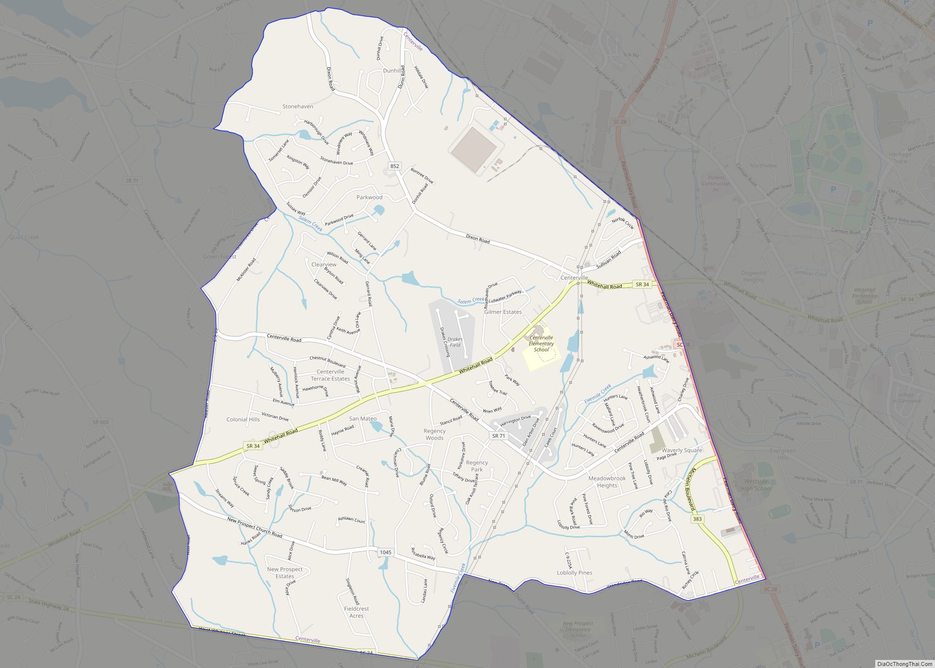
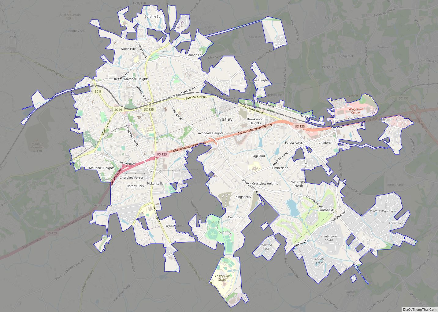
Easley is a city in Pickens County (with parts extending into Anderson County) in the State of South Carolina. Most of the city lies in Pickens County, with a small portion of the city in Anderson County.
In 2001, Easley hosted the Big League World Series for the first time, and continued to host the tournament annually until it was disbanded in 2016. In 2017, the Senior League World Series moved to Easley as the host for the annual tournament. The Upper South Carolina State Fair is located in Easley and is held annually in early September.
| Name: | Easley city |
|---|---|
| LSAD Code: | 25 |
| LSAD Description: | city (suffix) |
| State: | South Carolina |
| County: | Anderson County, Pickens County |
| Incorporated: | 1901 |
| Elevation: | 1,063 ft (324 m) |
| Total Area: | 13.07 sq mi (33.86 km²) |
| Land Area: | 13.05 sq mi (33.80 km²) |
| Water Area: | 0.02 sq mi (0.05 km²) |
| Total Population: | 22,921 |
| Population Density: | 1,756.26/sq mi (678.11/km²) |
| ZIP code: | 29640-29642 |
| Area code: | 864 |
| FIPS code: | 4521985 |
| GNISfeature ID: | 1247594 |
| Website: | www.cityofeasley.com |
Online Interactive Map
Click on ![]() to view map in "full screen" mode.
to view map in "full screen" mode.
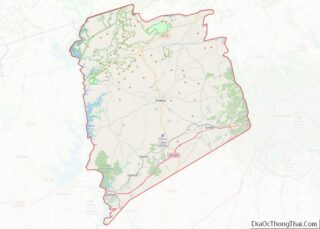
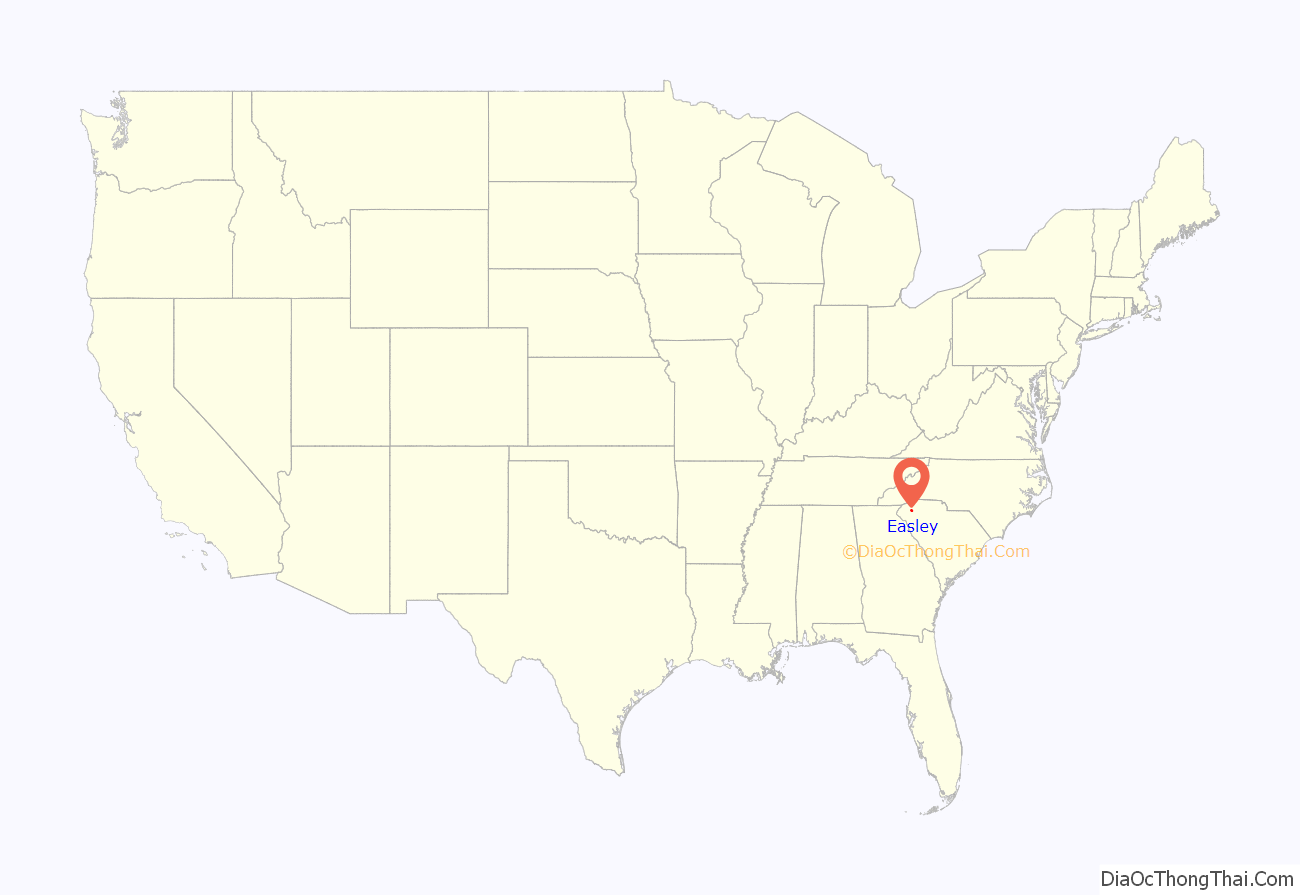
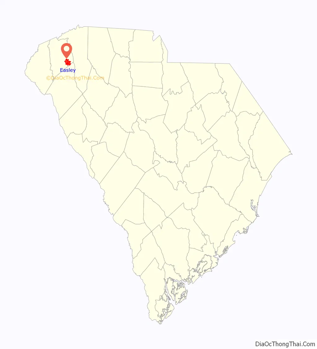
Easley location map. Where is Easley city?
History
In 1791 Washington District was established by the state legislature out of the former Cherokee territory. Rockville was also created in 1791 but changed to Pickensville in 1792. Pickensville became the district seat of Washington District which was then composed of Greenville and Pendleton Counties. In 1798 Washington District was divided into Greenville and Pendleton Districts. In 1828 Pendleton District was divided further with the lower portion becoming Anderson County and the upper becoming Pickens County named after Andrew Pickens.
Col. Robert Elliott Holcombe became a co-founder of the town by starting off as a farmer and timber mill owner in the area. His farming ventures enabled him to establish the storeroom in 1845 as the first business in the area. The namesake of the town was William King Easley. Easley was born in Pickens County, South Carolina in 1825. Easley and four others from Greenville represented the Greenville area in the South Carolina Secession Convention. When the American Civil War erupted, Easley raised a company of cavalry from Greenville and Pickens counties. During the war Easley served as a major in the Confederate Army.
After the civil war Easley became a local attorney and persuaded the Atlanta and Charlotte Air Line Railway to be established through Pickensville by raising $100,000 to invest in the railroad. Holcombe was considered to be the first citizen of Easley, building the first dwelling and train depot in the town from his family’s lumber mill. Holcombe became the first mayor of the town and was also the first agent of the train depot. The town of Easley was chartered in 1873. At the time, the consensus was that it should be named Holcombe or Holcombetown, but Col. Holcombe said that he didn’t think Holcombe was a very attractive name and that Easley sounded better. The Pickensville Post Office became Easley Post Office in 1875. The railroad transformed Easley into an industrious and thriving textile town. The Easley Textile Company, later known as Swirl Inc., came to Easley in 1953. The construction of U.S. Route 123 helped establish retail and new business to Easley. On April 25, 1951, a department store was on fire threatening many buildings in downtown Easley but the quick response of the fire department extinguished the fire.
In 1968, NASCAR driver Curtis Turner caused a telephone outage in Easley while landing his airplane on the town’s main street.
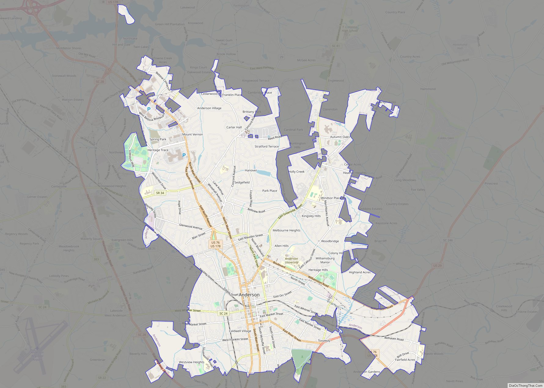
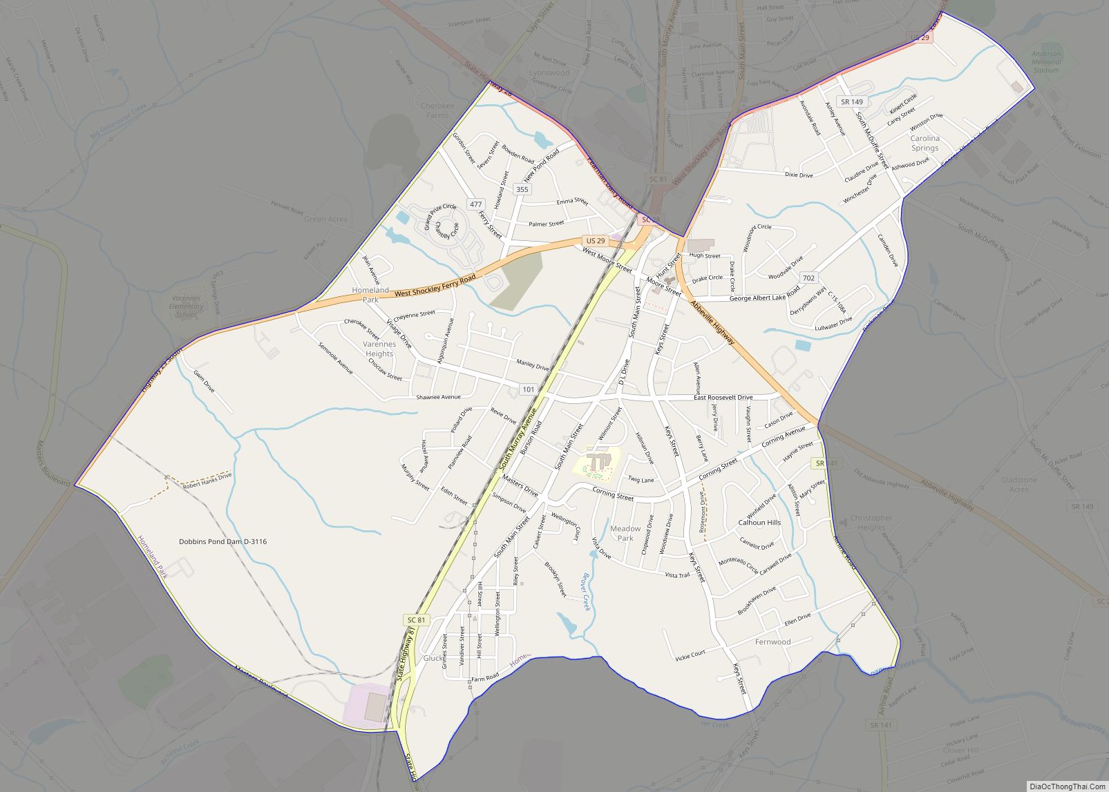
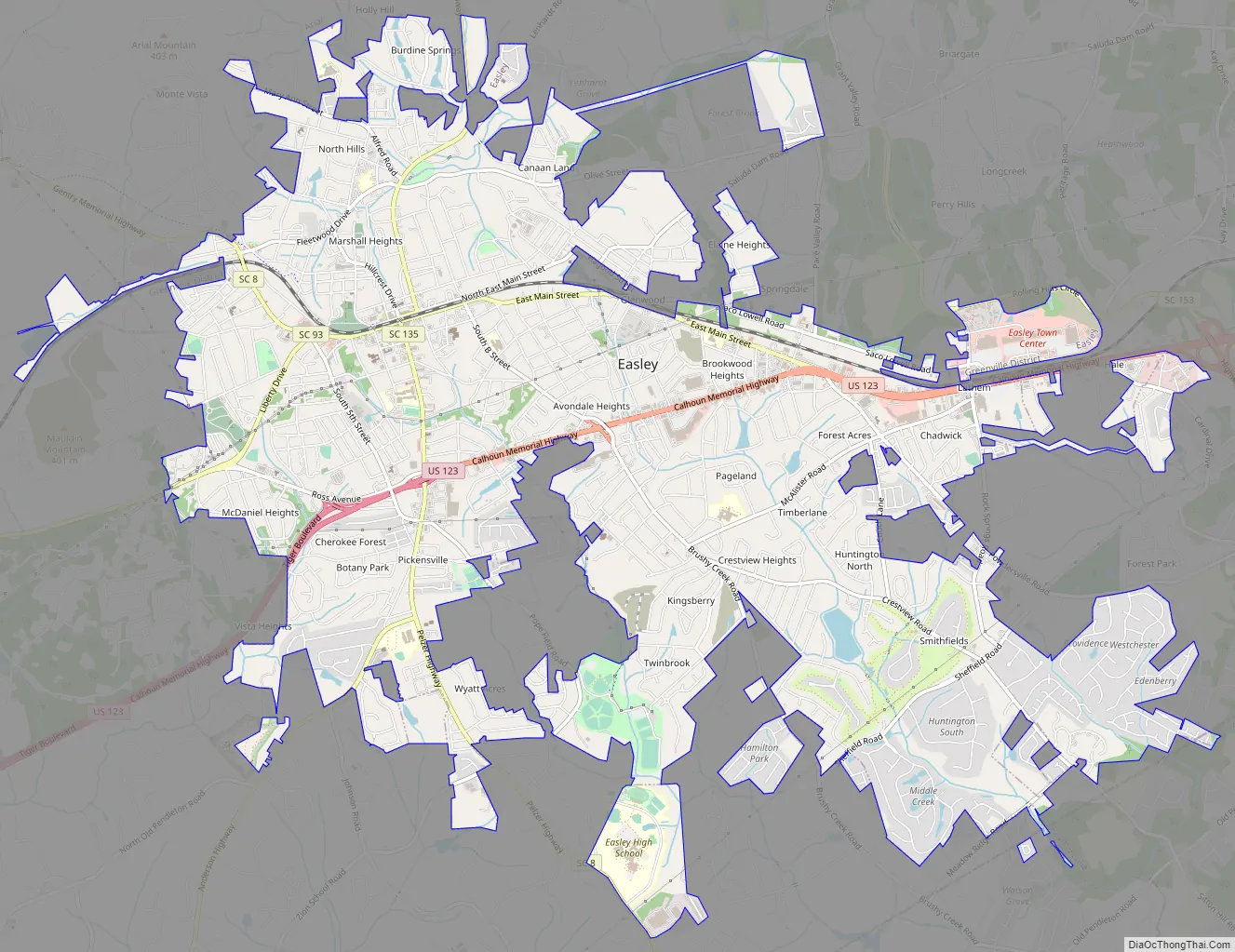
Easley Road Map
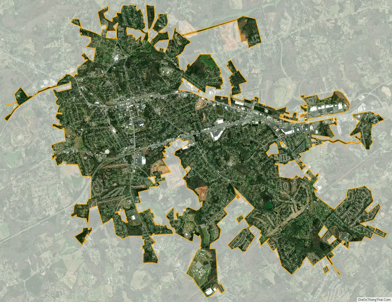
Easley city Satellite Map
Geography
Easley is located in southeastern Pickens County at 34°49′24″N 82°35′25″W / 34.82333°N 82.59028°W / 34.82333; -82.59028 (34.823371, -82.590394), 12 miles (19 km) west of the center of Greenville.
According to the United States Census Bureau, the city has a total area of 12.3 square miles (31.8 km), of which 12.2 square miles (31.7 km) is land and 0.039 square miles (0.1 km), or 0.17%, is water.
Butch Womack is the elected mayor.
See also
Map of South Carolina State and its subdivision:- Abbeville
- Aiken
- Allendale
- Anderson
- Bamberg
- Barnwell
- Beaufort
- Berkeley
- Calhoun
- Charleston
- Cherokee
- Chester
- Chesterfield
- Clarendon
- Colleton
- Darlington
- Dillon
- Dorchester
- Edgefield
- Fairfield
- Florence
- Georgetown
- Greenville
- Greenwood
- Hampton
- Horry
- Jasper
- Kershaw
- Lancaster
- Laurens
- Lee
- Lexington
- Marion
- Marlboro
- McCormick
- Newberry
- Oconee
- Orangeburg
- Pickens
- Richland
- Saluda
- Spartanburg
- Sumter
- Union
- Williamsburg
- York
- Alabama
- Alaska
- Arizona
- Arkansas
- California
- Colorado
- Connecticut
- Delaware
- District of Columbia
- Florida
- Georgia
- Hawaii
- Idaho
- Illinois
- Indiana
- Iowa
- Kansas
- Kentucky
- Louisiana
- Maine
- Maryland
- Massachusetts
- Michigan
- Minnesota
- Mississippi
- Missouri
- Montana
- Nebraska
- Nevada
- New Hampshire
- New Jersey
- New Mexico
- New York
- North Carolina
- North Dakota
- Ohio
- Oklahoma
- Oregon
- Pennsylvania
- Rhode Island
- South Carolina
- South Dakota
- Tennessee
- Texas
- Utah
- Vermont
- Virginia
- Washington
- West Virginia
- Wisconsin
- Wyoming