Aurora County is a county in the U.S. state of South Dakota. As of the 2020 census, the population was 2,747. The county was created in 1879, and was organized in 1881.
| Name: | Aurora County |
|---|---|
| FIPS code: | 46-003 |
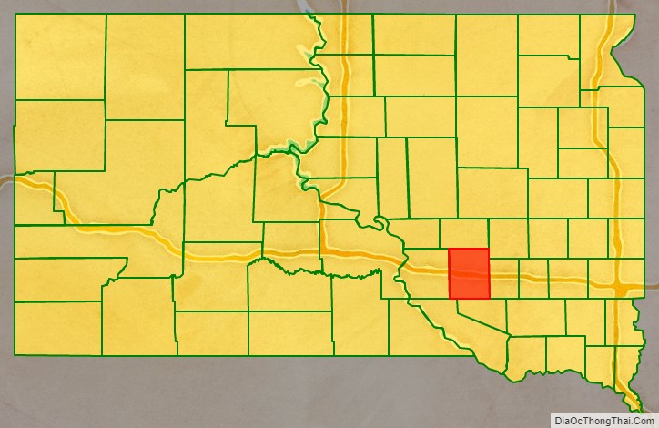
| State: | South Dakota |
| Founded: | 1881 |
| Named for: | Aurora, a Roman goddess |
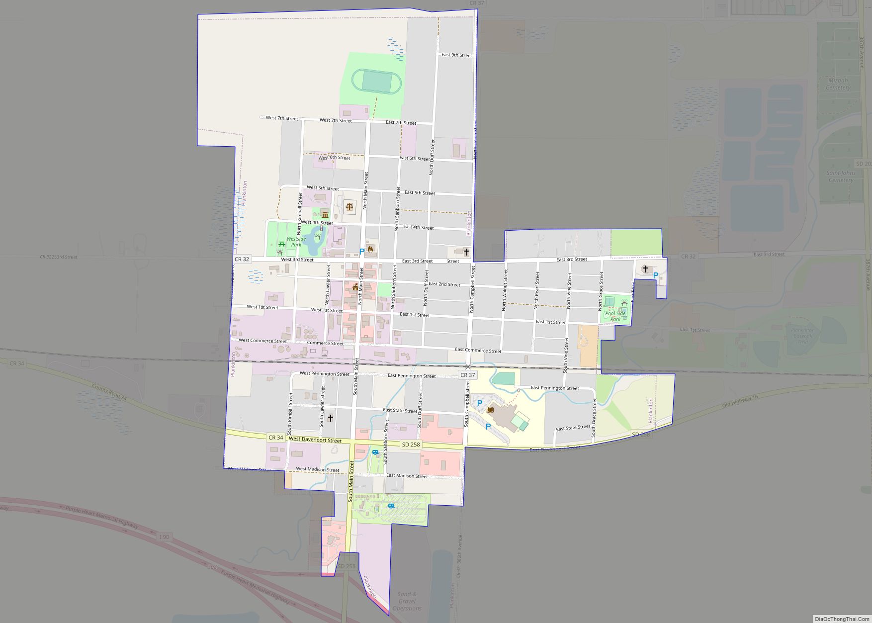
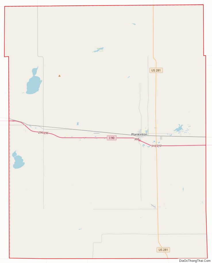
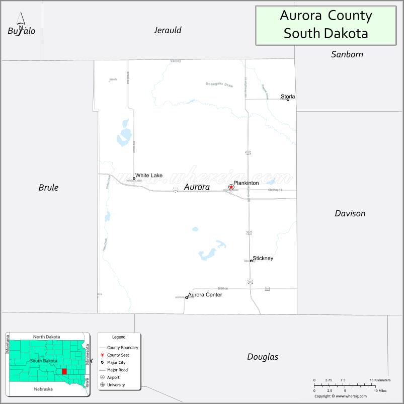
| Seat: | Plankinton |
| Largest city: | Plankinton |
| Total Area: | 713 sq mi (1,850 km²) |
| Land Area: | 708 sq mi (1,830 km²) |
| Total Population: | 2,747 |
| Population Density: | 3.9/sq mi (1.5/km²) |
| Time zone: | UTC−6 (Central) |
| Summer Time Zone (DST): | UTC−5 (CDT) |
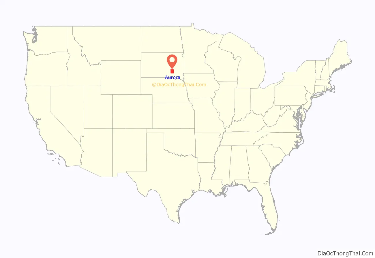
Aurora County location map. Where is Aurora County?
History
Aurora County, named for Aurora, the Roman goddess of the dawn, was created by the Dakota Territory on 1 October 1879. It was organized on August 29, 1881, when three county commissioners were appointed. The county had been established from the combination of former counties Cragin and Wetmore, which had both been formed in 1873. The three county commissioners met on 29 August 1881, and named Plankinton the county seat, an act which was ratified by voters in November 1882. The northern portion of Aurora County was partitioned off on April 17, 1883, and established as Jerauld County.
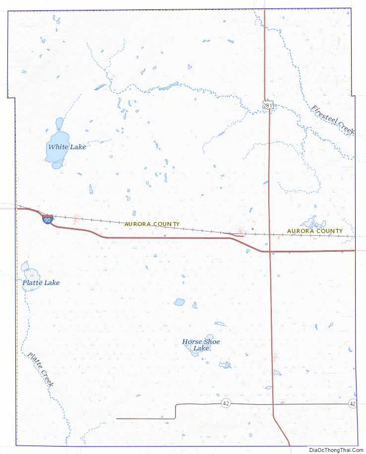
Aurora County Road Map
Geography
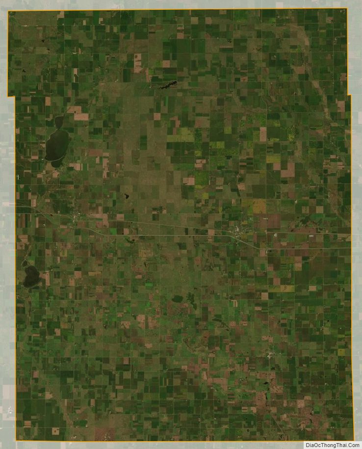
The terrain of Aurora County consists of low rolling hills, partially devoted to agriculture. It is dotted with small lakes and ponds. The highest point is the upper west boundary line, and the terrain slopes east-northeastward; the lowest point is the county’s northeast corner at 1,325′ (404m) ASL.
The county has a total area of 713 square miles (1,850 km), of which 708 square miles (1,830 km) is land and 4.3 square miles (11 km) (0.6%) is water.
Major highways
- Interstate 90
- U.S. Highway 281
- South Dakota Highway 42
Adjacent counties
- Jerauld County – north
- Sanborn County – northeast
- Davison County – east
- Douglas County – south
- Charles Mix County – southwest
- Brule County – west
Protected areas
- Crystal Lake Public Shooting Area
- Hanson Lake State Public Shooting Area
- Kimball State Public Shooting Area
- Koch Waterfowl Production Area
- Kramer Slaugh Public Shooting Area
- Krell Waterfowl Production Area
- Lutz Waterfowl Production Area
- Maine Waterfowl Production Area
- National Waterfowl Production Area
- Pleasant Lake State Public Shooting Area
- Schute Waterfowl Production Area
- Sorenson Waterfowl Production Area
- Wilmarth Lake Game Production Area
Aurora County Topographic Map
Aurora County Satellite Map
Aurora County Outline Map