Sanborn County is a county in the U.S. state of South Dakota. As of the 2020 census, the population was 2,330. Its county seat and largest city is Woonsocket. The county was created by the Dakota Territorial legislature on May 1, 1883, with land partitioned from Miner County. It was fully organized by July 18, 1883.
| Name: | Sanborn County |
|---|---|
| FIPS code: | 46-111 |
| State: | South Dakota |
| Founded: | 1883 |
| Named for: | George W. Sanborn |
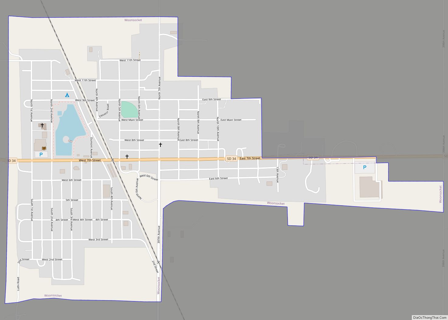
| Seat: | Woonsocket |
| Largest city: | Woonsocket |
| Total Area: | 570 sq mi (1,500 km²) |
| Land Area: | 569 sq mi (1,470 km²) |
| Total Population: | 2,330 |
| Population Density: | 4.1/sq mi (1.6/km²) |
| Time zone: | UTC−6 (Central) |
| Summer Time Zone (DST): | UTC−5 (CDT) |
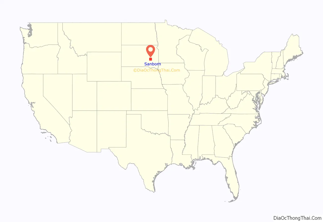
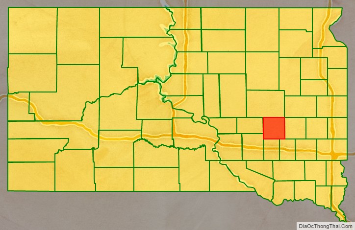
Sanborn County location map. Where is Sanborn County?
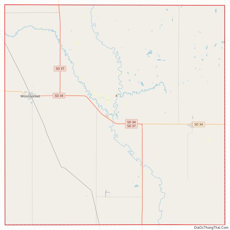
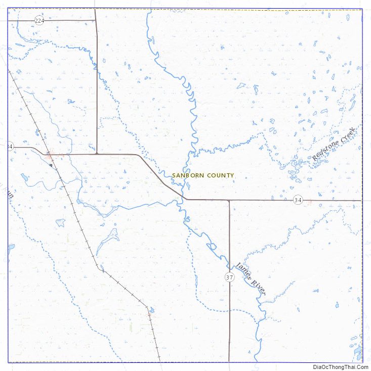
Sanborn County Road Map
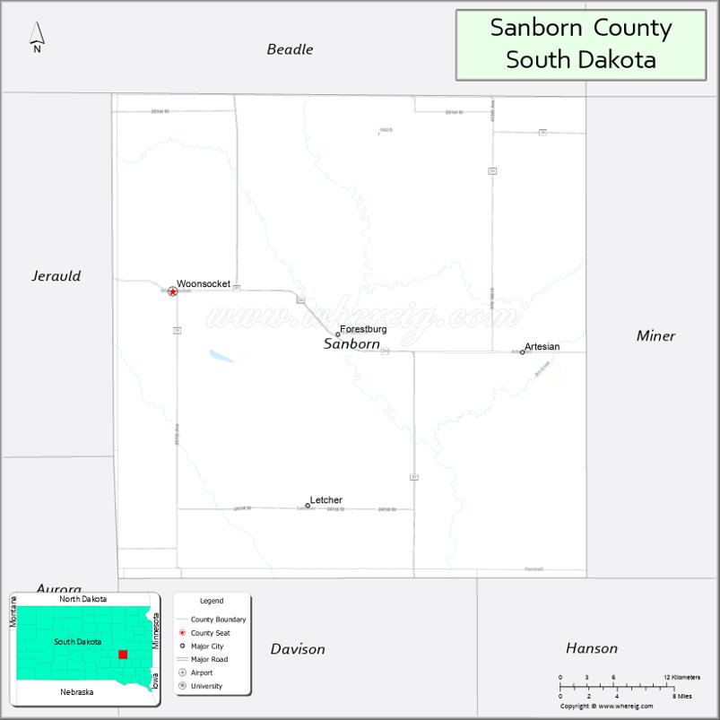
Geography
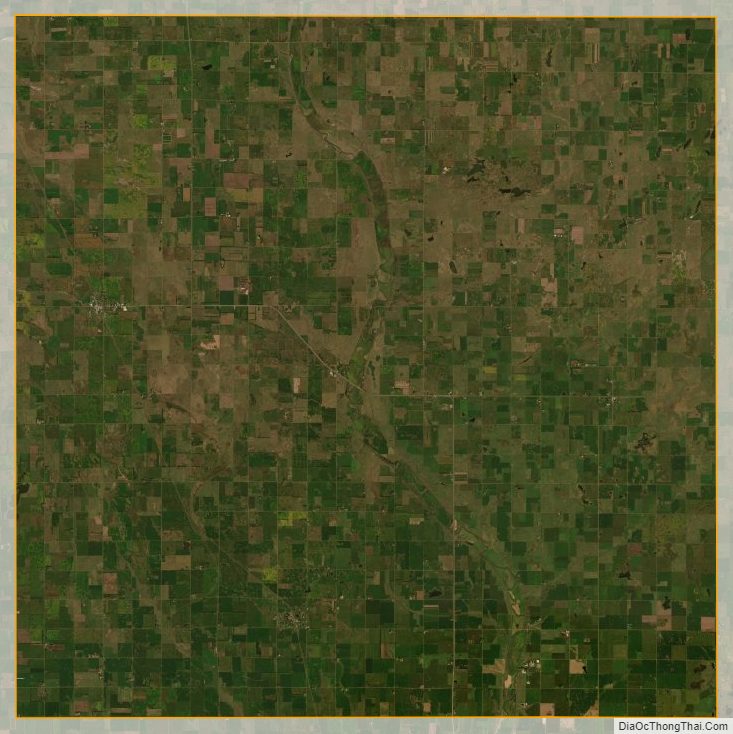
The terrain of Sanborn County consists of rolling hills, largely devoted to agriculture. The James River flows southward through the east-central part of the county, and the SW part of the country is drained by Dry Run Creek. The terrain slopes to the south and to the southeast; its highest point is in its SW corner, at 1,358′ (414m) ASL. The county has a total area of 570 square miles (1,500 km), of which 569 square miles (1,470 km) is land and 1.2 square miles (3.1 km) (0.2%) is water.
Major highways
- South Dakota Highway 34
- South Dakota Highway 37
- South Dakota Highway 224
Adjacent counties
- Beadle County – north
- Kingsbury County – northeast
- Miner County – east
- Hanson County – southeast
- Davison County – south
- Aurora County – southwest
- Jerauld County – west
Protected areas
- McCoy Lake State Public Shooting Area
Lakes and reservoirs
- Long Lake
- Twin Lakes (partial)
Sanborn County Topographic Map
Sanborn County Satellite Map
Sanborn County Outline Map