Plankinton is a city in and county seat of Aurora County, South Dakota, United States. The population was 781 at the 2020 census.
| Name: | Plankinton city |
|---|---|
| LSAD Code: | 25 |
| LSAD Description: | city (suffix) |
| State: | South Dakota |
| County: | Aurora County |
| Incorporated: | 1887 |
| Elevation: | 1,526 ft (465 m) |
| Total Area: | 0.76 sq mi (1.98 km²) |
| Land Area: | 0.76 sq mi (1.98 km²) |
| Water Area: | 0.00 sq mi (0.00 km²) |
| Total Population: | 781 |
| Population Density: | 1,023.59/sq mi (395.03/km²) |
| ZIP code: | 57368 |
| Area code: | 605 |
| FIPS code: | 4650020 |
| GNISfeature ID: | 1257087 |
| Website: | www.plankinton.com |
Online Interactive Map
Click on ![]() to view map in "full screen" mode.
to view map in "full screen" mode.
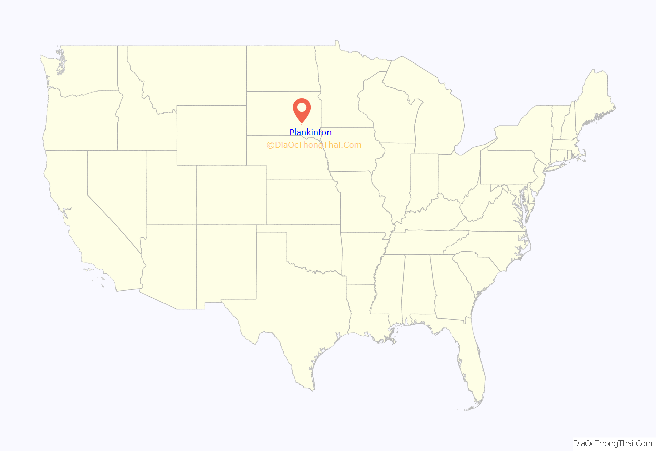
Plankinton location map. Where is Plankinton city?
History
Plankinton sprang up with the arrival of the Chicago, Milwaukee, St. Paul and Pacific Railroad to the area in 1880. The town was named for Milwaukee-based meatpacker and railroad official John Plankinton.
The voters approved the incorporation of Plankinton as a village in an election on September 7, 1882. The first officials were elected on September 22, 1882. The first village trustees were C. Thompson, C.C. Irons, T.C. Granger, W.H. Ferguson.
On 7 October 1897, the girls’ dormitory at the State Industrial School in town burned, killing seven people.
Plankinton was home to an annual wheat palace, which became a successful regional attraction and inspired the Corn Palace in nearby Mitchell. The first Grain Palace in South Dakota opened in Plankinton on September 29, 1891, while the last closed in October 1892.
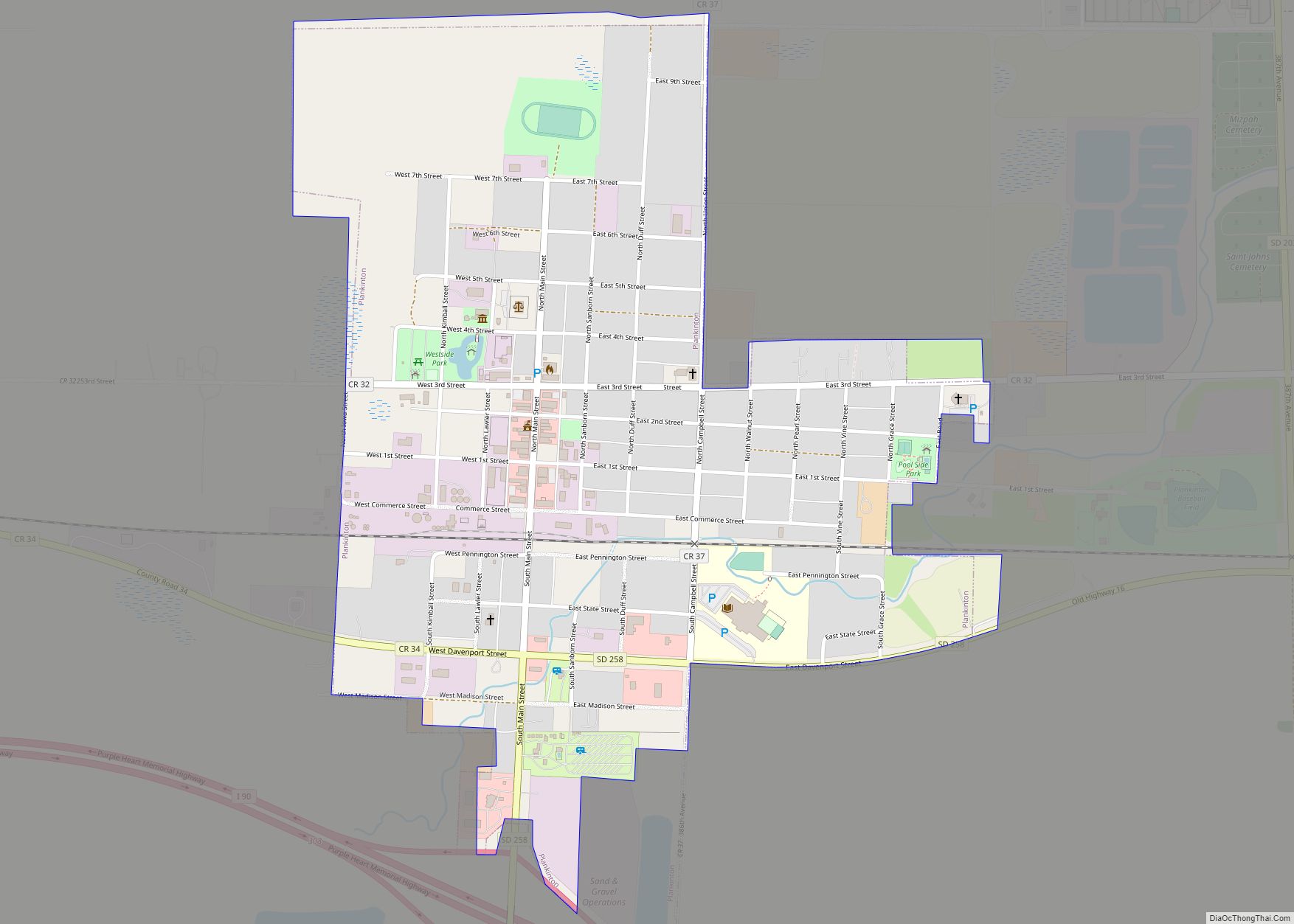
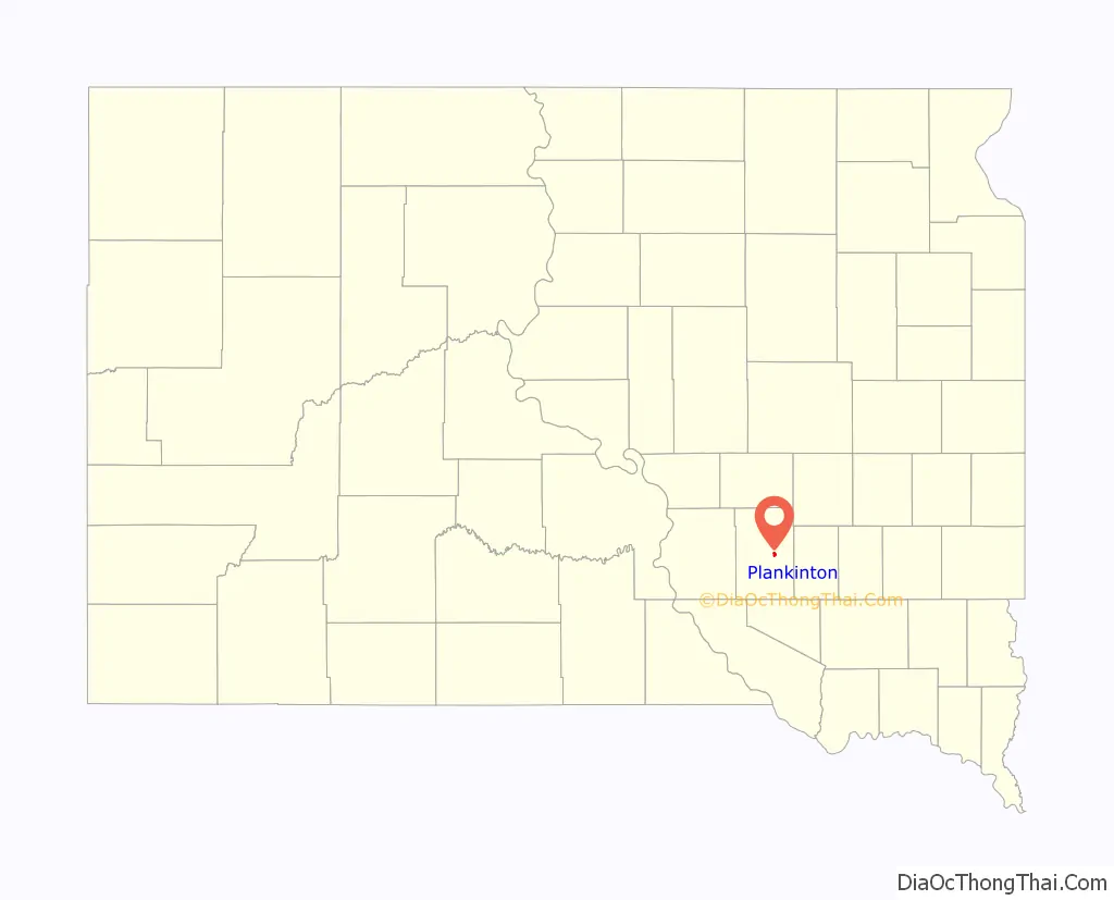
Plankinton Road Map
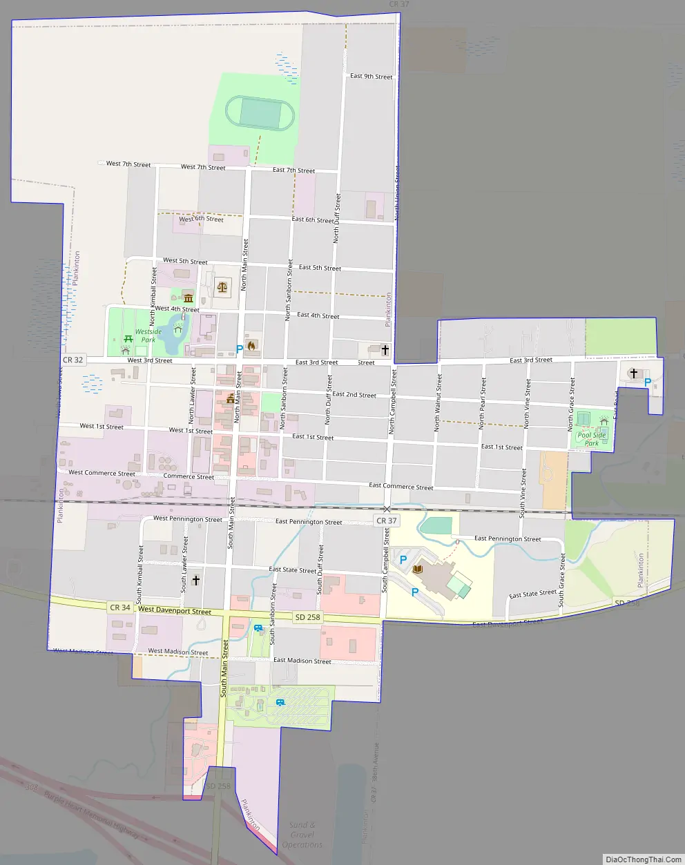
Plankinton city Satellite Map

Geography
Plankinton is located at 43°43′N 98°29′W / 43.717°N 98.483°W / 43.717; -98.483 (43.7148, -98.4832).
According to the United States Census Bureau, the city has a total area of 0.76 square miles (1.97 km), all land.
Plankinton has been assigned the ZIP code 57368 and the FIPS place code 50020.
See also
Map of South Dakota State and its subdivision:- Aurora
- Beadle
- Bennett
- Bon Homme
- Brookings
- Brown
- Brule
- Buffalo
- Butte
- Campbell
- Charles Mix
- Clark
- Clay
- Codington
- Corson
- Custer
- Davison
- Day
- Deuel
- Dewey
- Douglas
- Edmunds
- Fall River
- Faulk
- Grant
- Gregory
- Haakon
- Hamlin
- Hand
- Hanson
- Harding
- Hughes
- Hutchinson
- Hyde
- Jackson
- Jerauld
- Jones
- Kingsbury
- Lake
- Lawrence
- Lincoln
- Lyman
- Marshall
- McCook
- McPherson
- Meade
- Mellette
- Miner
- Minnehaha
- Moody
- Pennington
- Perkins
- Potter
- Roberts
- Sanborn
- Shannon
- Spink
- Stanley
- Sully
- Todd
- Tripp
- Turner
- Union
- Walworth
- Yankton
- Ziebach
- Alabama
- Alaska
- Arizona
- Arkansas
- California
- Colorado
- Connecticut
- Delaware
- District of Columbia
- Florida
- Georgia
- Hawaii
- Idaho
- Illinois
- Indiana
- Iowa
- Kansas
- Kentucky
- Louisiana
- Maine
- Maryland
- Massachusetts
- Michigan
- Minnesota
- Mississippi
- Missouri
- Montana
- Nebraska
- Nevada
- New Hampshire
- New Jersey
- New Mexico
- New York
- North Carolina
- North Dakota
- Ohio
- Oklahoma
- Oregon
- Pennsylvania
- Rhode Island
- South Carolina
- South Dakota
- Tennessee
- Texas
- Utah
- Vermont
- Virginia
- Washington
- West Virginia
- Wisconsin
- Wyoming