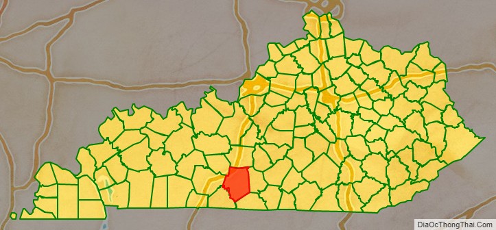
Barren County is a county located in the south-central portion of the U.S. state of Kentucky. As of the 2020 census, the population was 44,485. Its county seat is Glasgow. The county was founded on December 20, 1798, from parts of Warren and Green Counties. It was named for the Barrens, meadowlands that cover the northern third, though actually the soil is fertile. Barren County is part of the Glasgow, KY Micropolitan Statistical Area, which is also included in the Bowling Green-Glasgow, KY Combined Statistical Area. In 2007 Barren County was named the “Best Place to Live in Rural America” by Progressive Farmer Magazine.
| Name: | Barren County |
|---|---|
| FIPS code: | 21-009 |
| State: | Kentucky |
| Founded: | 1798 |
| Named for: | The Barrens, a region of grassland in Kentucky |
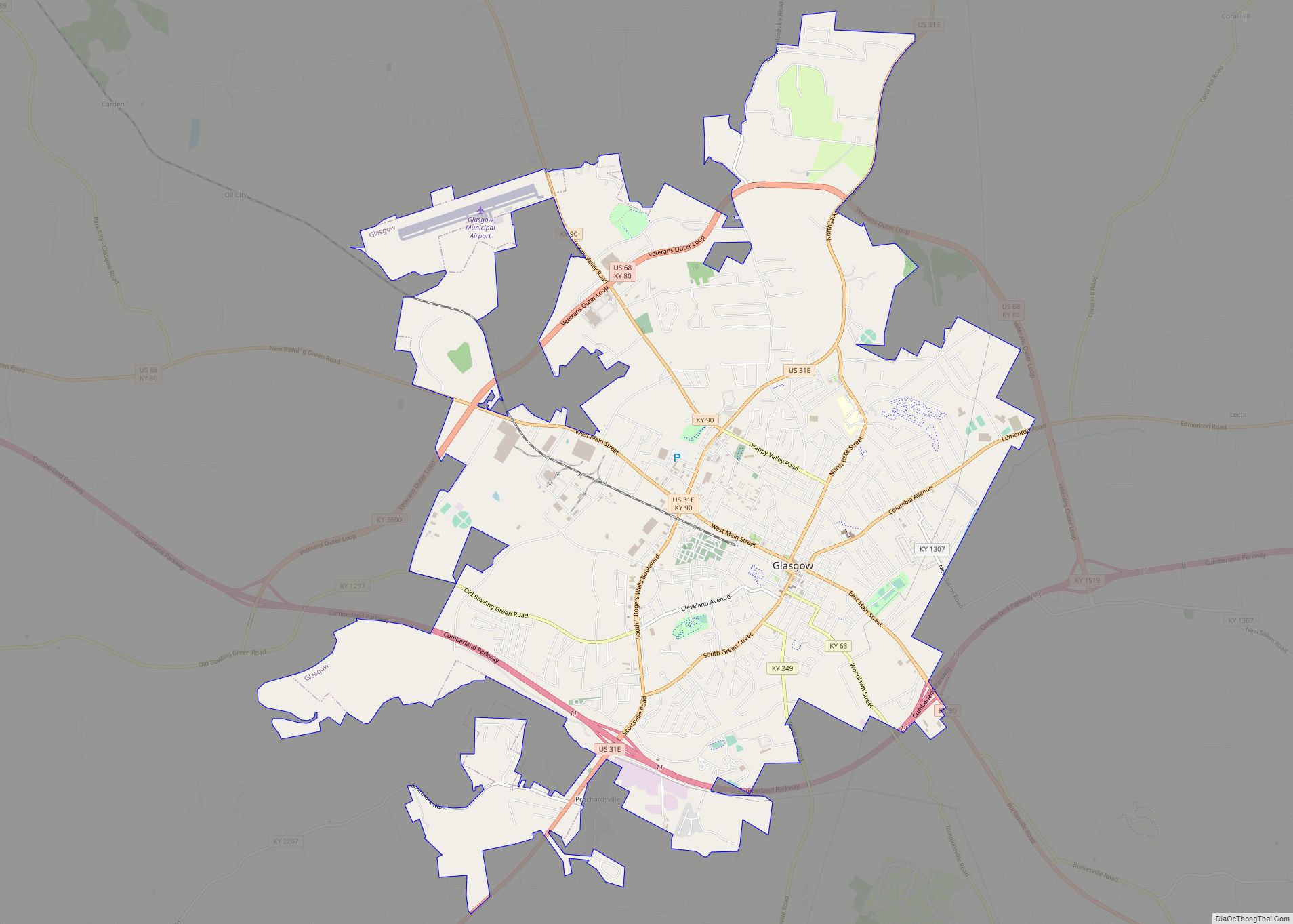
| Seat: | Glasgow |
| Largest city: | Glasgow |
| Total Area: | 500 sq mi (1,000 km²) |
| Land Area: | 488 sq mi (1,260 km²) |
| Total Population: | 44,485 |
| Population Density: | 87/sq mi (34/km²) |
| Time zone: | UTC−6 (Central) |
| Summer Time Zone (DST): | UTC−5 (CDT) |
| Website: | barrencounty.ky.gov |
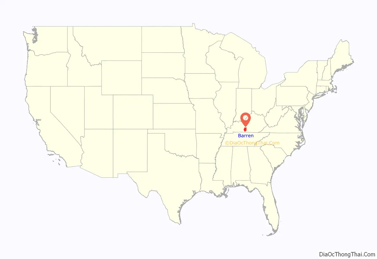
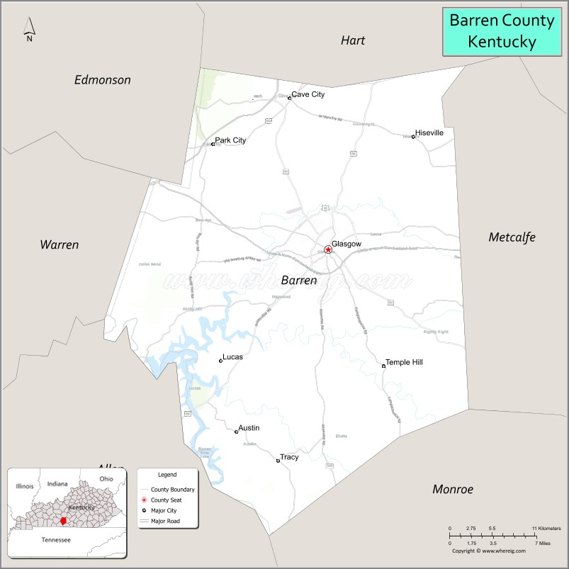
Barren County location map. Where is Barren County?
History
Barren County was established in 1798 from land taken from Green County and Warren County. Six courthouses have served the county throughout its history, the first built of logs.
Barren County, like most of south-central Kentucky, was settled by the Scots-Irish, and still bears many cultural aspects that trace back to that heritage. The Scottish heritage is the most evident, as indicated by the name of the county seat, which is named for Glasgow, Scotland, and is celebrated annually with the Glasgow Highland Games, one of three highland games held each year in Kentucky.
Barren was a prohibition or dry county, until voters overturned that in September 2016. Prior to that, there were two exceptions:
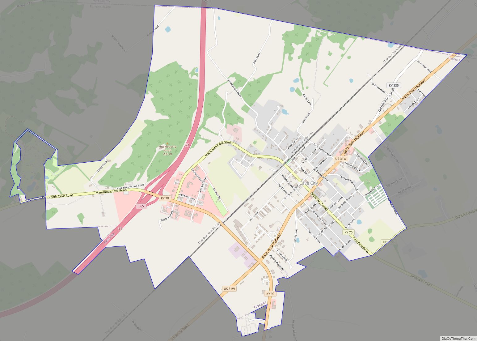
- Cave City, which voted in 2005 to become “moist” (selling only alcohol by the drink in restaurants of a certain minimum size (100 in this case) and which derive 70% or more of their revenue from food), and later voted in 2014 to approve full package sales.
- Glasgow, which approved liquor by the drink under the same restrictions on November 6, 2007, after three previous elections to allow full alcohol sales in the city were soundly defeated.
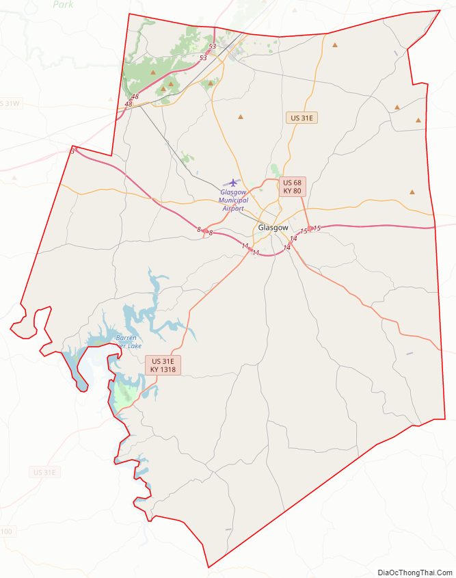
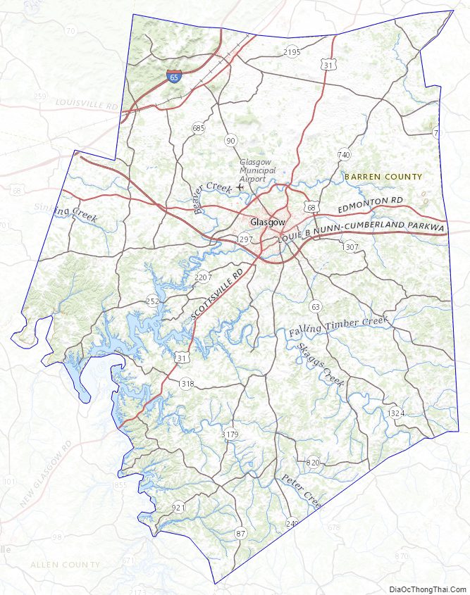
Barren County Road Map
Geography
According to the United States Census Bureau, the county has a total area of 500 square miles (1,300 km), of which 488 square miles (1,260 km) is land and 12 square miles (31 km) (2.5%) is water.
Barren River Lake is located in the southern part of the county, forming part of its boundary with Allen County. Barren River Lake State Resort Park is located primarily within Barren County, along the lake’s shoreline.
Adjacent counties
- Hart County (north)
- Metcalfe County (east)
- Monroe County (southeast)
- Allen County (southwest)
- Warren County (west)
- Edmonson County (northwest)
National protected area
- Mammoth Cave National Park (part)
Barren County Topographic Map
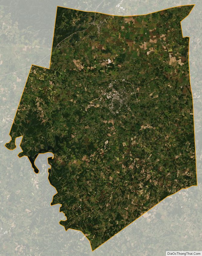
Barren County Satellite Map
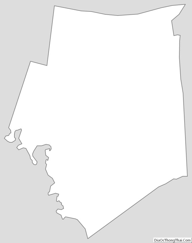
Barren County Outline Map