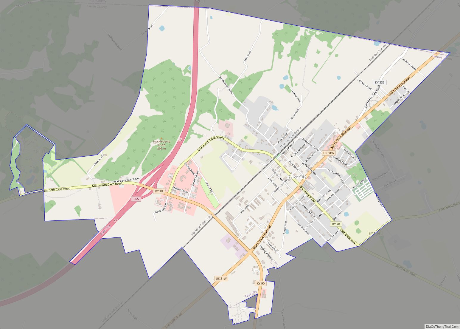
Park City is a home rule-class city in Barren County, Kentucky, United States. The population was 537 at the 2010 census. It has served as the historical entrance to nearby Mammoth Cave National Park and to Diamond Caverns, a privately owned cave attraction.
Park City is part of the Glasgow micropolitan area.
| Name: | Park City city |
|---|---|
| LSAD Code: | 25 |
| LSAD Description: | city (suffix) |
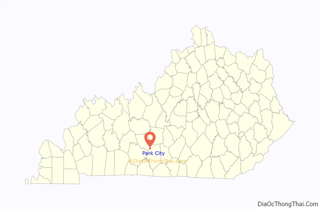
| State: | Kentucky |
| County: | Barren County |
| Incorporated: | 1871 |
| Elevation: | 640 ft (195 m) |
| Total Area: | 1.47 sq mi (3.81 km²) |
| Land Area: | 1.47 sq mi (3.80 km²) |
| Water Area: | 0.00 sq mi (0.01 km²) |
| Total Population: | 614 |
| Population Density: | 418.26/sq mi (161.48/km²) |
| ZIP code: | 42160 |
| Area code: | 270 & 364 |
| FIPS code: | 2159232 |
| GNISfeature ID: | 0500179 |
| Website: | parkcity.ky.gov |
Online Interactive Map
Click on ![]() to view map in "full screen" mode.
to view map in "full screen" mode.
Park City location map. Where is Park City city?

History
In the early 19th century, the site of the present city was the junction of the Louisville and Nashville Pike with spur roads to Glasgow and Bardstown. By 1827, a stagecoach relay station had developed into a settlement with a post office named Three Forks. The postmaster William Bell owned a 1,500-acre (610 ha) plantation nearby, with a prominent tavern, which led to the community also being known as Bell’s Station. In 1859, the mainline of the Louisville and Nashville Railroad reached the plantation, and in 1863 the Glasgow spur was completed. The community was then known as Glasgow Junction after the L&N Depot, which also served as the junction between the mainline and the Mammoth Cave Railroad. There was a close relationship between Mammoth Cave and Diamond Cave (Diamond Caverns) for years. Books and cave brochures would describe both caves. Beginning in 1880, the Mammoth Cave Railroad tracks were laid just west of Diamond Cave. When the line finally opened in 1886, Diamond was one of the primary stops on the railroad. Excursions were available to see Diamond and Mammoth Caves on the same day, and still return to Glasgow Junction in time to catch through trains to Louisville or Nashville. Mammoth Cave Railroad stops also served two nearby caves opened by Larkin Proctor, Long Cave, commercialized as Grand Avenue Caverns, and Proctor Cave. The city was platted and formally incorporated under that name in 1871.
In 1938, the name was changed to Park City to avoid confusion with Glasgow.
Part of the former Mammoth Cave Railroad was converted into a 9-mile hike and bike trail. The start of this trail can be accessed from Park City.
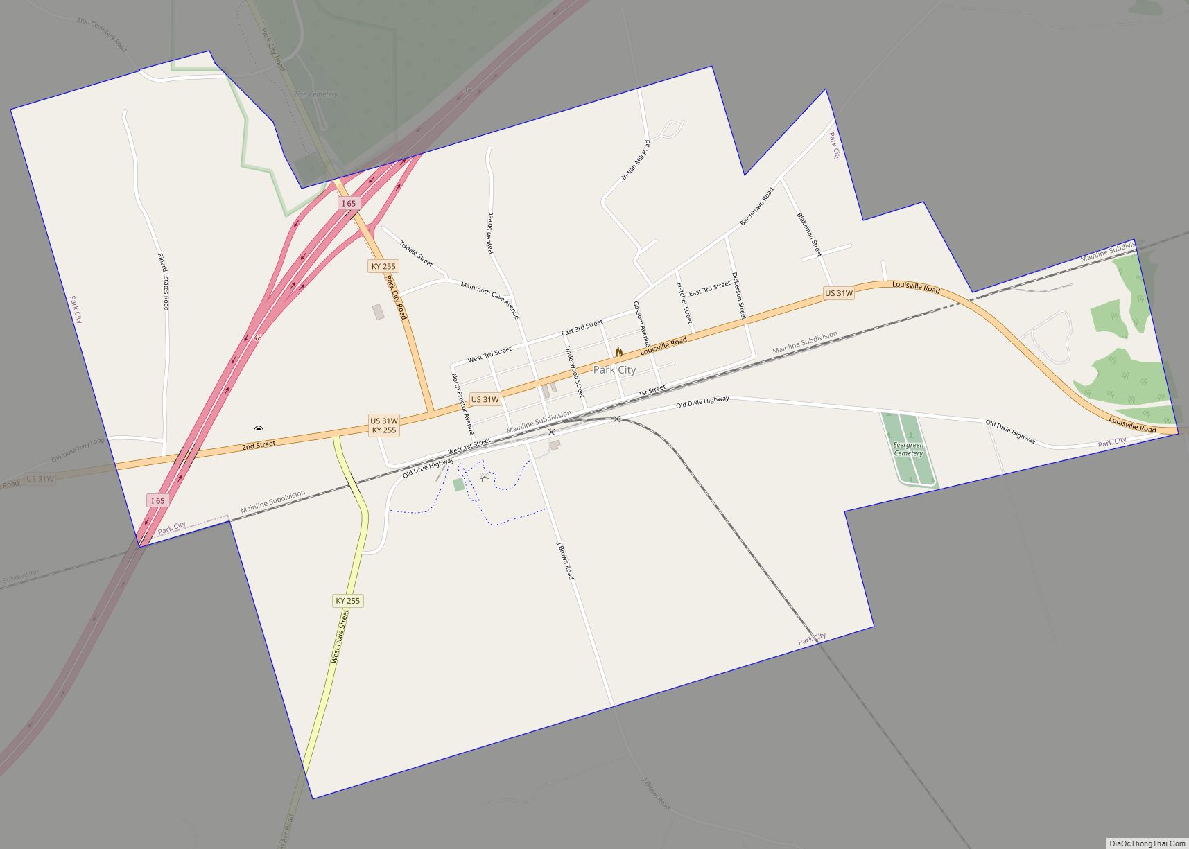
Park City Road Map
Park City city Satellite Map

Geography
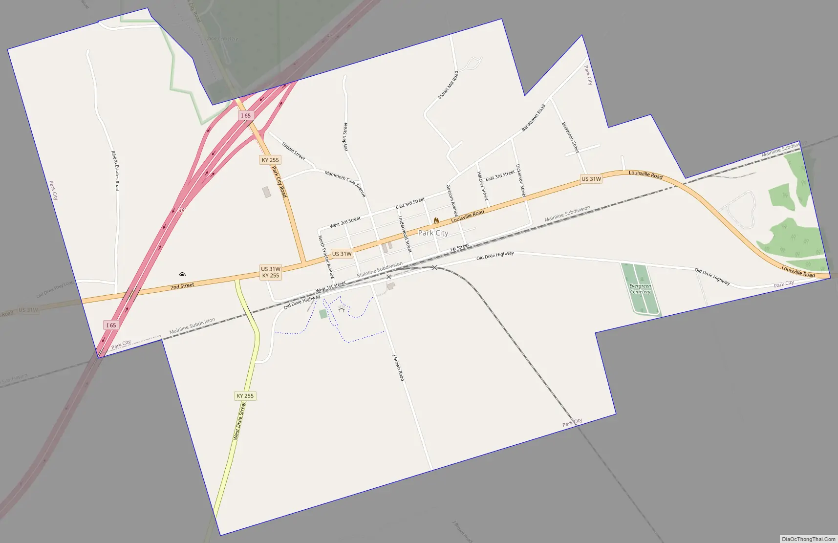
Park City is located in western Barren County at 37°5′39″N 86°2′54″W / 37.09417°N 86.04833°W / 37.09417; -86.04833 (37.094181, -86.048309). U.S. Route 31W passes through the center of the city, and Interstate 65 cuts through the northwest corner, with access via Exit 48 (Kentucky Route 255/Mammoth Cave Parkway). The CSX Transportation rail line (former L&N) also passes through the center of the city.
According to the United States Census Bureau, the city has a total area of 1.5 square miles (3.8 km), of which 0.004 square miles (0.01 km), or 0.25%, is water.
See also
Map of Kentucky State and its subdivision:- Adair
- Allen
- Anderson
- Ballard
- Barren
- Bath
- Bell
- Boone
- Bourbon
- Boyd
- Boyle
- Bracken
- Breathitt
- Breckinridge
- Bullitt
- Butler
- Caldwell
- Calloway
- Campbell
- Carlisle
- Carroll
- Carter
- Casey
- Christian
- Clark
- Clay
- Clinton
- Crittenden
- Cumberland
- Daviess
- Edmonson
- Elliott
- Estill
- Fayette
- Fleming
- Floyd
- Franklin
- Fulton
- Gallatin
- Garrard
- Grant
- Graves
- Grayson
- Green
- Greenup
- Hancock
- Hardin
- Harlan
- Harrison
- Hart
- Henderson
- Henry
- Hickman
- Hopkins
- Jackson
- Jefferson
- Jessamine
- Johnson
- Kenton
- Knott
- Knox
- Larue
- Laurel
- Lawrence
- Lee
- Leslie
- Letcher
- Lewis
- Lincoln
- Livingston
- Logan
- Lyon
- Madison
- Magoffin
- Marion
- Marshall
- Martin
- Mason
- McCracken
- McCreary
- McLean
- Meade
- Menifee
- Mercer
- Metcalfe
- Monroe
- Montgomery
- Morgan
- Muhlenberg
- Nelson
- Nicholas
- Ohio
- Oldham
- Owen
- Owsley
- Pendleton
- Perry
- Pike
- Powell
- Pulaski
- Robertson
- Rockcastle
- Rowan
- Russell
- Scott
- Shelby
- Simpson
- Spencer
- Taylor
- Todd
- Trigg
- Trimble
- Union
- Warren
- Washington
- Wayne
- Webster
- Whitley
- Wolfe
- Woodford
- Alabama
- Alaska
- Arizona
- Arkansas
- California
- Colorado
- Connecticut
- Delaware
- District of Columbia
- Florida
- Georgia
- Hawaii
- Idaho
- Illinois
- Indiana
- Iowa
- Kansas
- Kentucky
- Louisiana
- Maine
- Maryland
- Massachusetts
- Michigan
- Minnesota
- Mississippi
- Missouri
- Montana
- Nebraska
- Nevada
- New Hampshire
- New Jersey
- New Mexico
- New York
- North Carolina
- North Dakota
- Ohio
- Oklahoma
- Oregon
- Pennsylvania
- Rhode Island
- South Carolina
- South Dakota
- Tennessee
- Texas
- Utah
- Vermont
- Virginia
- Washington
- West Virginia
- Wisconsin
- Wyoming