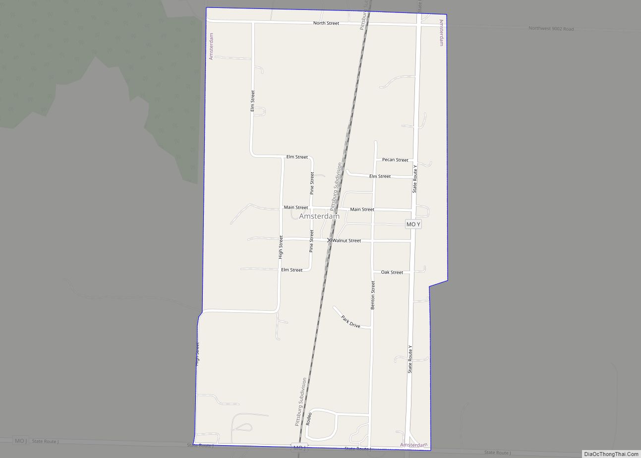
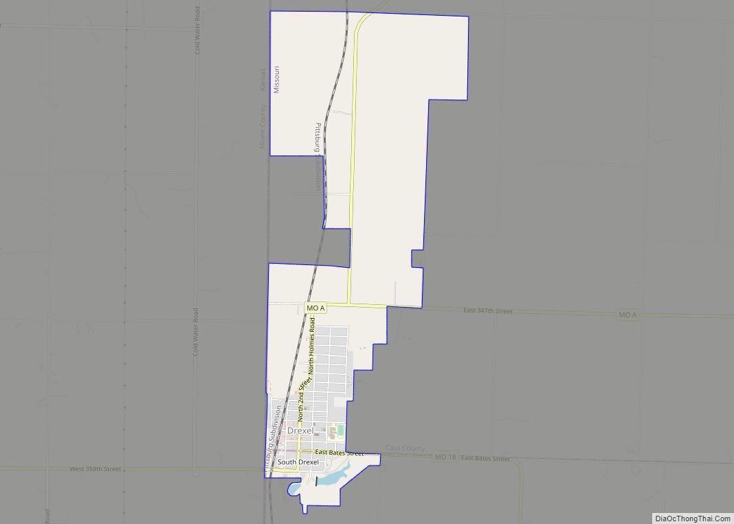
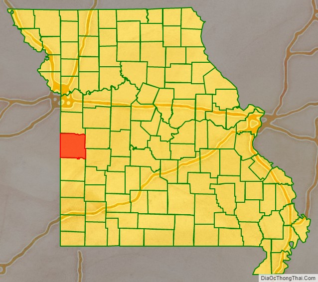
Bates County is a county located in the west central part of the U.S. state of Missouri, two counties south of the Missouri River and is part of the Kansas City metropolitan area. As of the 2020 census, the population was 16,042. Its county seat is Butler. The county was organized in 1841 and named after Frederick Bates, the second Governor of Missouri.
This mostly rural county has an overwhelmingly ethnic European-American population, which has declined in number since the early 20th century as people have moved to cities.
| Name: | Bates County |
|---|---|
| FIPS code: | 29-013 |
| State: | Missouri |
| Founded: | January 29, 1841 |
| Named for: | Frederick Bates |
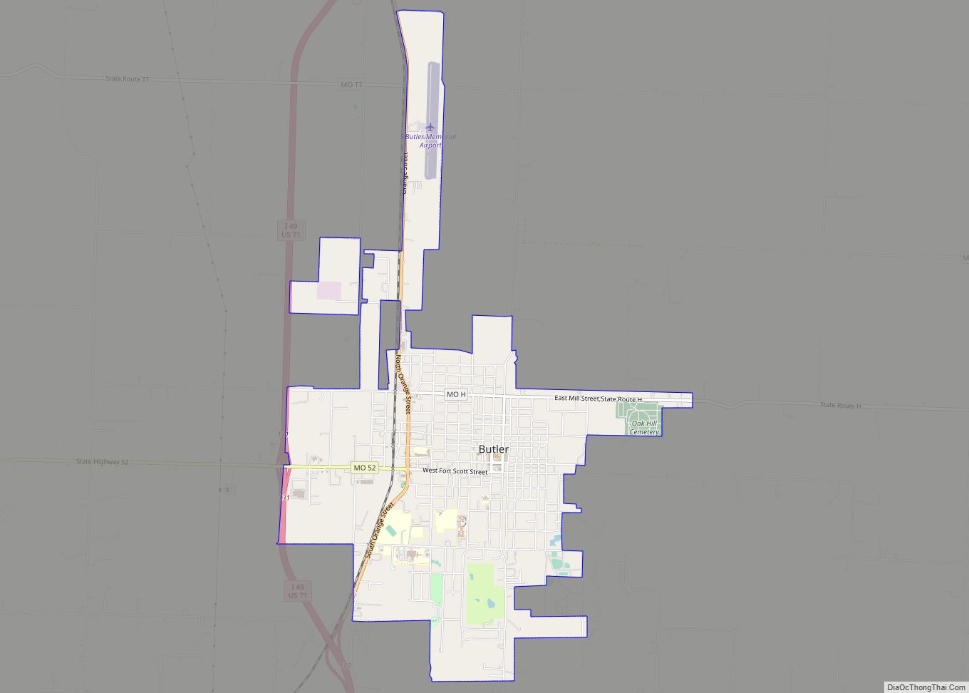
| Seat: | Butler |
| Largest city: | Butler |
| Total Area: | 851 sq mi (2,200 km²) |
| Land Area: | 837 sq mi (2,170 km²) |
| Total Population: | 16,042 |
| Population Density: | 19/sq mi (7.3/km²) |
| Time zone: | UTC−6 (Central) |
| Summer Time Zone (DST): | UTC−5 (CDT) |
| Website: | www.batescounty.net |
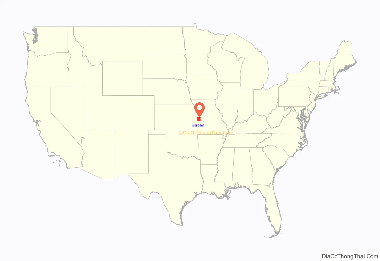
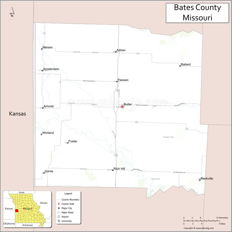
Bates County location map. Where is Bates County?
History
The borderlands of Kansas and Missouri were battlegrounds for insurgents during the American Civil War, with raids going back and forth across the border. Bates County is noted as the site for the first combat engagement during the war of African-American soldiers serving with the Union and against Confederate forces, which occurred on October 28–29, 1862. The First Kansas Colored Division (part of the state militia) fought Confederate guerrillas at the Battle of Island Mound four miles north of present-day Rich Hill, Missouri, and the Union forces won.
The Kansas soldiers were badly outnumbered but stood their ground, fighting valiantly. The skirmish was covered by The New York Times, which noted the men’s bravery at a time when many people questioned whether former slaves could make good soldiers. Their heroic action preceded President Abraham Lincoln’s announcement of the Emancipation Proclamation in January 1863 and establishment of the United States Colored Troops.
Following a massacre of men and boys and the burning of Lawrence, Kansas, by Confederate bushwhackers in the summer of 1863, the United States General Ewing ordered the evacuation of the civilian population from rural areas of Bates and nearby counties except for within a mile of certain Union-controlled cities, in order to cut off sources of support for Confederate insurgents. This was done under Order No. 11. The county had been a base of Confederate guerrillas. But, Ewing’s order generated outrage and added to support of guerrillas in some areas.
This mostly rural county continued to support agriculture in the decades after the Civil War. Since the early 20th century, population has declined as people have moved to cities for work.
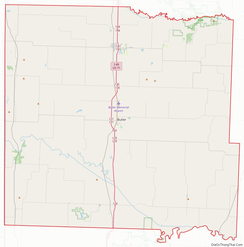
Bates County Road Map
Geography
According to the U.S. Census Bureau, the county has a total area of 851 square miles (2,200 km), of which 837 square miles (2,170 km) is land and 15 square miles (39 km) (1.7%) is water.
Adjacent counties
- Cass County (north)
- Henry County (northeast)
- St. Clair County (southeast)
- Vernon County (south)
- Linn County, Kansas (west)
- Miami County, Kansas (northwest)
Major highways
- Interstate 49
- U.S. Route 71
- Route 18
- Route 52
Bates County Topographic Map
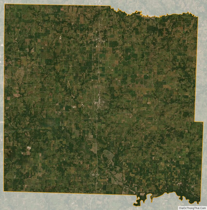
Bates County Satellite Map
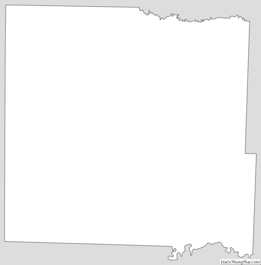
Bates County Outline Map