Rich Hill is a city in southern Bates County, Missouri, and is part of the Kansas City metropolitan area within the United States. The population was 1,232 at the 2020 census.
| Name: | Rich Hill city |
|---|---|
| LSAD Code: | 25 |
| LSAD Description: | city (suffix) |
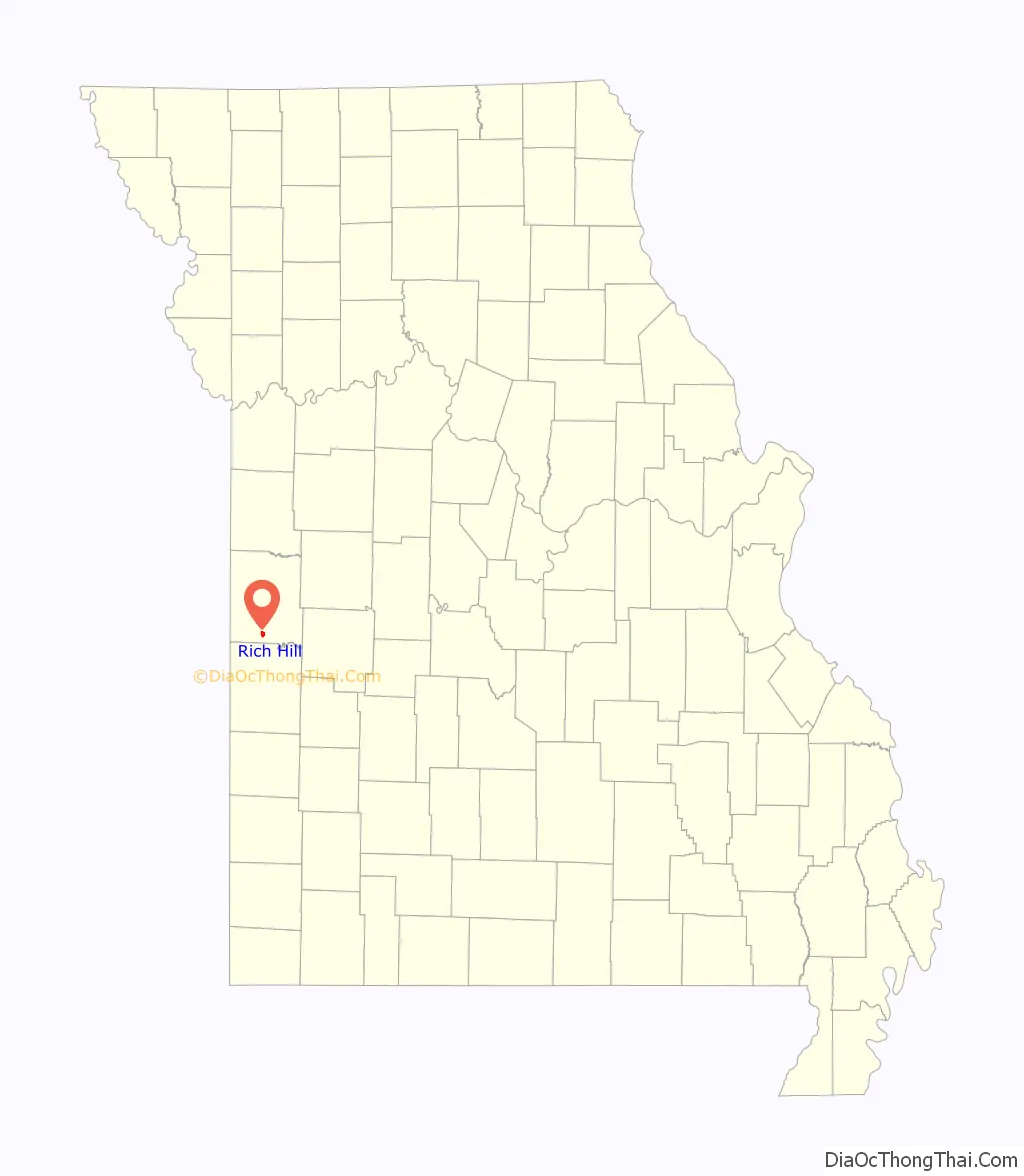
| State: | Missouri |
| County: | Bates County |
| Elevation: | 804 ft (245 m) |
| Total Area: | 1.37 sq mi (3.56 km²) |
| Land Area: | 1.37 sq mi (3.54 km²) |
| Water Area: | 0.01 sq mi (0.02 km²) |
| Total Population: | 1,232 |
| Population Density: | 902/sq mi (348/km²) |
| ZIP code: | 64779 |
| Area code: | 417 |
| FIPS code: | 2961418 |
| GNISfeature ID: | 2396361 |
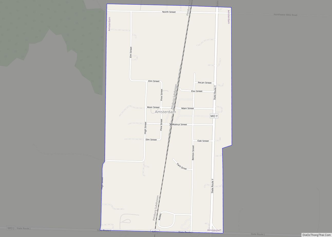
Online Interactive Map
Click on ![]() to view map in "full screen" mode.
to view map in "full screen" mode.
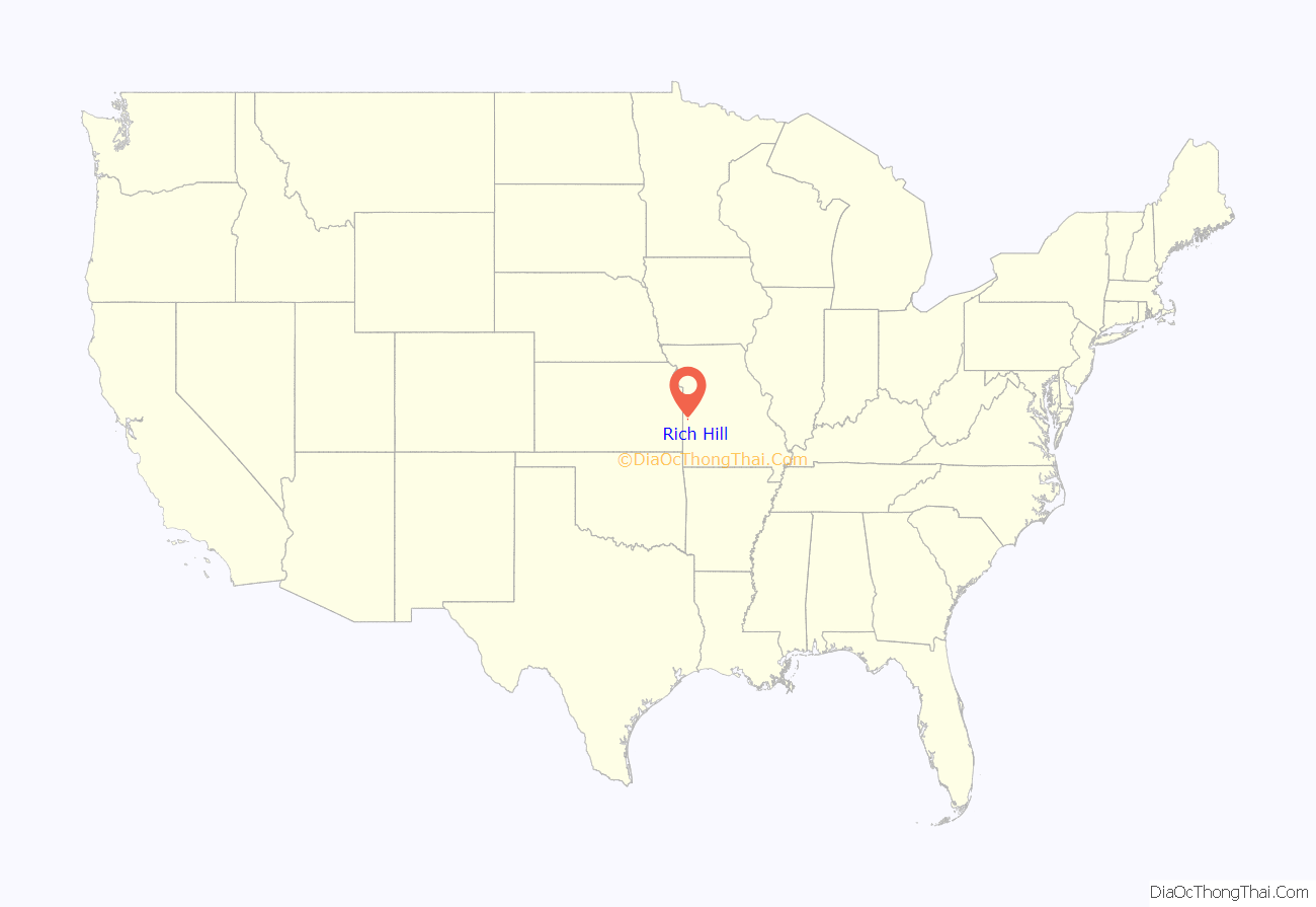
Rich Hill location map. Where is Rich Hill city?
History
Rich Hill was platted in 1880. The city was named in 1871 by C.W. Ratekin and used the slogan “The Town That Coal Built”. The town experienced a rapid population expansion during the late 1800s, until mining efforts began to decline and eventually ended in 1906. The mining effort was renewed by Peabody Energy in the 1950s.
The Prairie View Stock Farm was listed on the National Register of Historic Places in 2015.
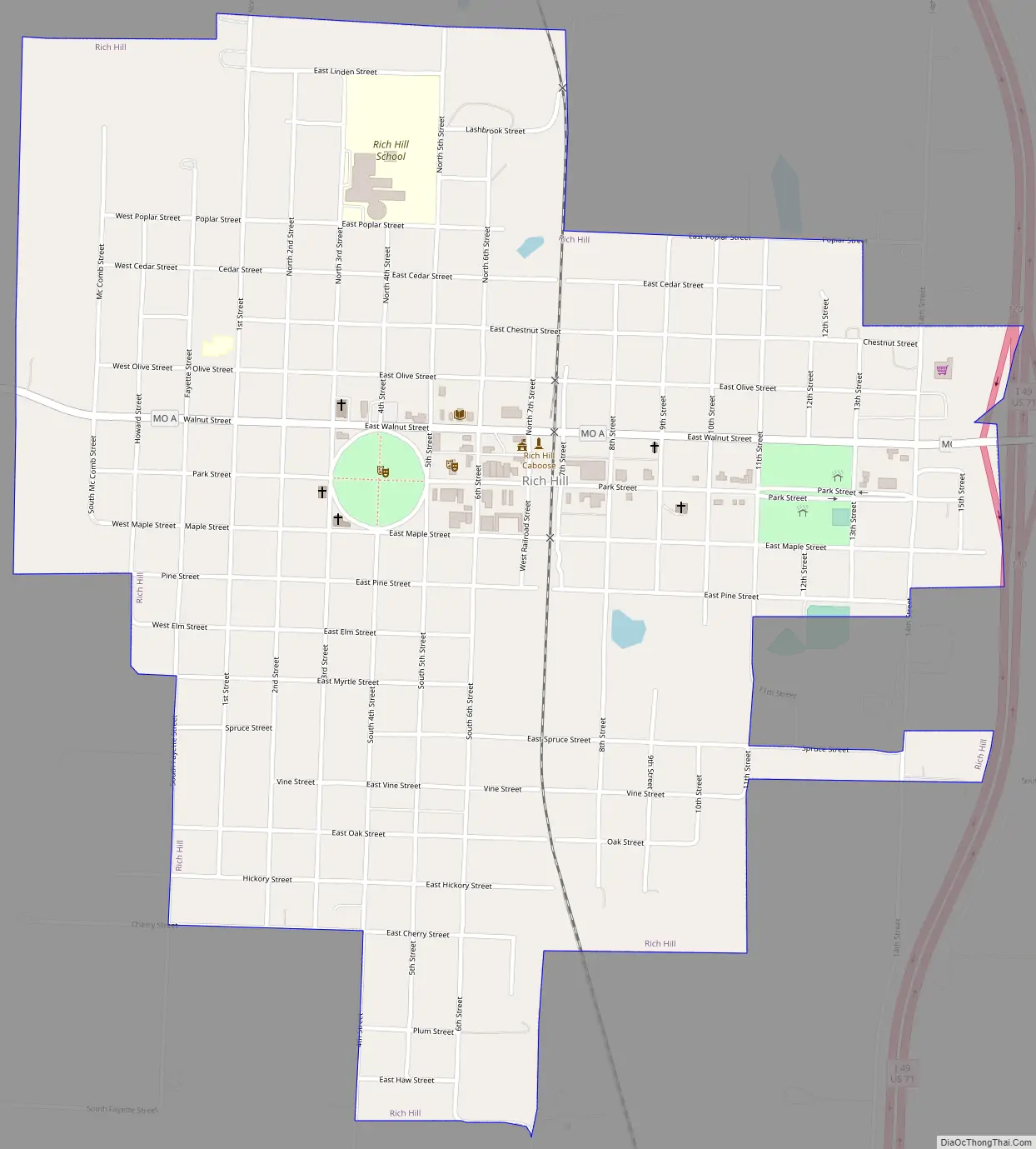
Rich Hill Road Map
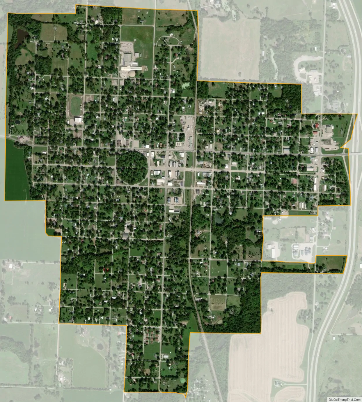
Rich Hill city Satellite Map
Geography
Rich Hill is located on Missouri Route A adjacent to the west side of US Route 71 eleven miles south of Butler. The Bates-Vernon county line is 2.5 miles to the south. The upper reaches of the Truman Reservoir are two miles east on the Marais des Cygnes River.
According to the United States Census Bureau, the city has a total area of 1.38 square miles (3.57 km), of which 1.37 square miles (3.55 km) is land and 0.01 square miles (0.03 km) is water.
See also
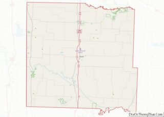
Map of Missouri State and its subdivision:- Adair
- Andrew
- Atchison
- Audrain
- Barry
- Barton
- Bates
- Benton
- Bollinger
- Boone
- Buchanan
- Butler
- Caldwell
- Callaway
- Camden
- Cape Girardeau
- Carroll
- Carter
- Cass
- Cedar
- Chariton
- Christian
- Clark
- Clay
- Clinton
- Cole
- Cooper
- Crawford
- Dade
- Dallas
- Daviess
- De Kalb
- Dent
- Douglas
- Dunklin
- Franklin
- Gasconade
- Gentry
- Greene
- Grundy
- Harrison
- Henry
- Hickory
- Holt
- Howard
- Howell
- Iron
- Jackson
- Jasper
- Jefferson
- Johnson
- Knox
- Laclede
- Lafayette
- Lawrence
- Lewis
- Lincoln
- Linn
- Livingston
- Macon
- Madison
- Maries
- Marion
- McDonald
- Mercer
- Miller
- Mississippi
- Moniteau
- Monroe
- Montgomery
- Morgan
- New Madrid
- Newton
- Nodaway
- Oregon
- Osage
- Ozark
- Pemiscot
- Perry
- Pettis
- Phelps
- Pike
- Platte
- Polk
- Pulaski
- Putnam
- Ralls
- Randolph
- Ray
- Reynolds
- Ripley
- Saint Charles
- Saint Clair
- Saint Francois
- Saint Louis
- Sainte Genevieve
- Saline
- Schuyler
- Scotland
- Scott
- Shannon
- Shelby
- Stoddard
- Stone
- Sullivan
- Taney
- Texas
- Vernon
- Warren
- Washington
- Wayne
- Webster
- Worth
- Wright
- Alabama
- Alaska
- Arizona
- Arkansas
- California
- Colorado
- Connecticut
- Delaware
- District of Columbia
- Florida
- Georgia
- Hawaii
- Idaho
- Illinois
- Indiana
- Iowa
- Kansas
- Kentucky
- Louisiana
- Maine
- Maryland
- Massachusetts
- Michigan
- Minnesota
- Mississippi
- Missouri
- Montana
- Nebraska
- Nevada
- New Hampshire
- New Jersey
- New Mexico
- New York
- North Carolina
- North Dakota
- Ohio
- Oklahoma
- Oregon
- Pennsylvania
- Rhode Island
- South Carolina
- South Dakota
- Tennessee
- Texas
- Utah
- Vermont
- Virginia
- Washington
- West Virginia
- Wisconsin
- Wyoming