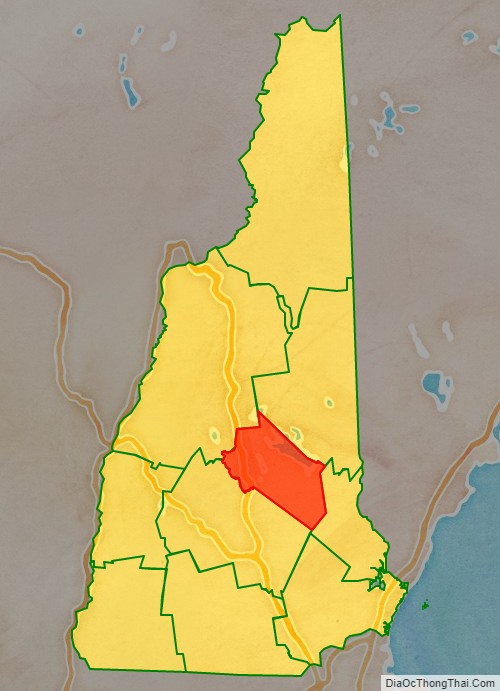
Belknap County (/ˈbɛlnæp/) is a county in the U.S. state of New Hampshire. As of the 2020 census, the population was 63,705. The county seat is Laconia. It is located in New Hampshire’s Lakes Region, slightly southeast of the state’s geographic center. Belknap County comprises the Laconia, NH Micropolitan Statistical Area, which in turn constitutes a portion of the Boston–Worcester–Providence, MA–RI-NH-CT Combined Statistical Area.
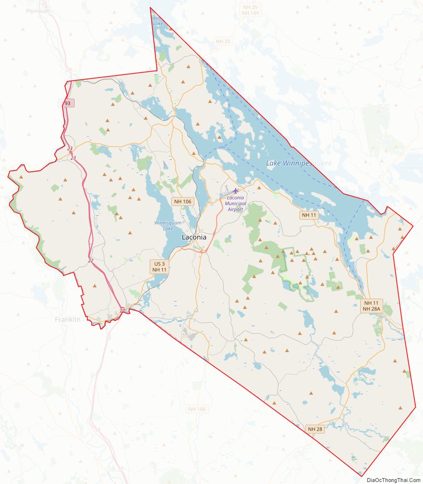
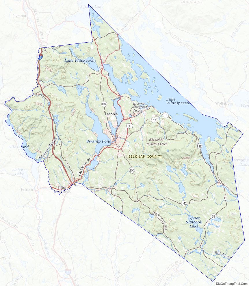
The southwestern half of Lake Winnipesaukee lies in Belknap County, while several other major lakes such as Squam Lake and Lake Winnisquam lie partially or wholly within the county. The Belknap Mountains lie along the shore of Winnipesaukee east of Laconia and feature Mount Major, known for its numerous hiking trails and Gunstock Mountain, home of a popular ski resort. Bank of New Hampshire Pavilion is a concert venue in Gilford which features major national touring music acts, while the Laconia Motorcycle Week attracts hundreds of thousands of visitors every June. Funspot Family Fun Center, located in Weirs Beach, is the largest video game arcade in the world.
| Name: | Belknap County |
|---|---|
| FIPS code: | 33-001 |
| State: | New Hampshire |
| Founded: | 1840 |
| Named for: | Jeremy Belknap |
| Seat: | Laconia |
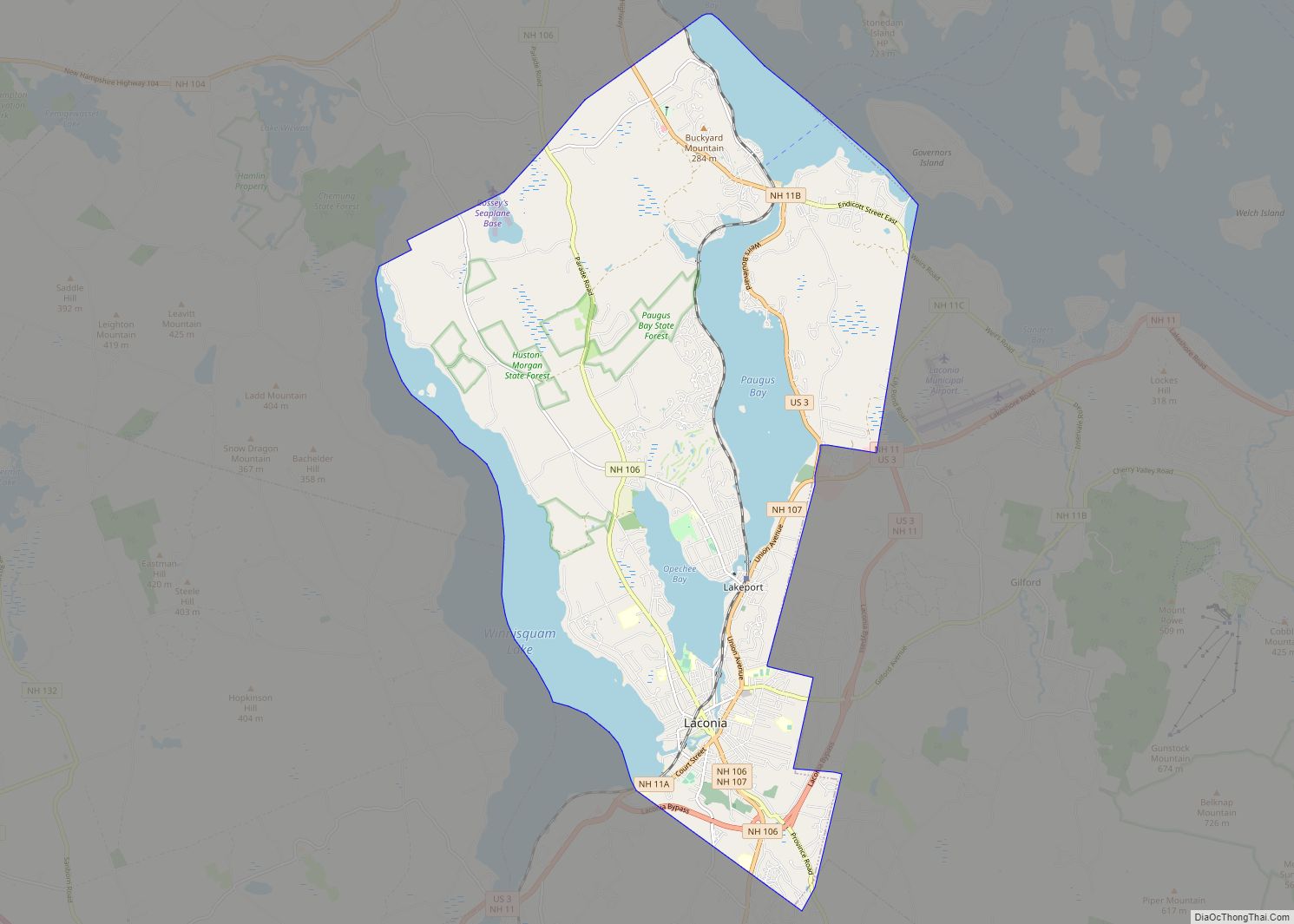
| Largest city: | Laconia |
| Total Area: | 470.0 sq mi (1,217 km²) |
| Land Area: | 401.8 sq mi (1,041 km²) |
| Total Population: | 63,705 |
| Population Density: | 158.5/sq mi (61.2/km²) |
| Time zone: | UTC−5 (Eastern) |
| Summer Time Zone (DST): | UTC−4 (EDT) |
| Website: | www.belknapcounty.org |
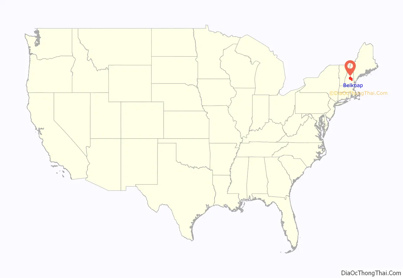
Belknap County location map. Where is Belknap County?
History
Belknap County was organized in 1840 by removing parts of northeastern Merrimack County and northwestern Strafford County. It is named for Dr. Jeremy Belknap, a renowned preacher, historian, and author of The History of New Hampshire. The first County Court was held within the town of Meredith, at a village known as Meredith Bridge on the Winnipesaukee River. In 1855, the town of Laconia was separated from Meredith.
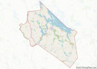
Belknap County Road Map
Geography
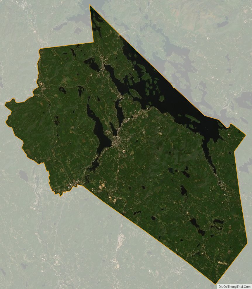
According to the U.S. Census Bureau, the county has a total area of 469 square miles (1,210 km), of which 400 square miles (1,000 km) are land and 68 square miles (180 km) (15%) are water. It is the second-smallest county in New Hampshire by area. Most of the county’s water area is part of Lake Winnipesaukee.
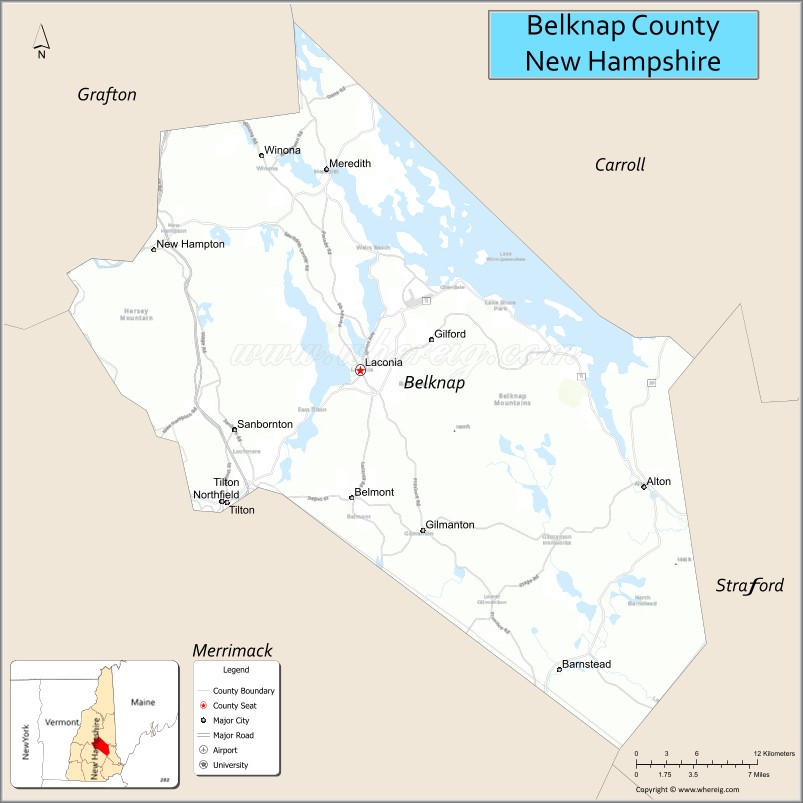
Adjacent counties
- Carroll County (north)
- Strafford County (east)
- Merrimack County (southwest)
- Grafton County (northwest)
Belknap County Topographic Map
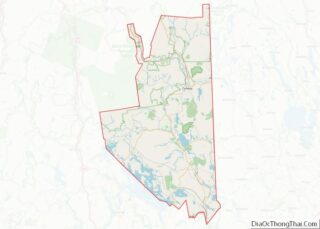
Belknap County Satellite Map
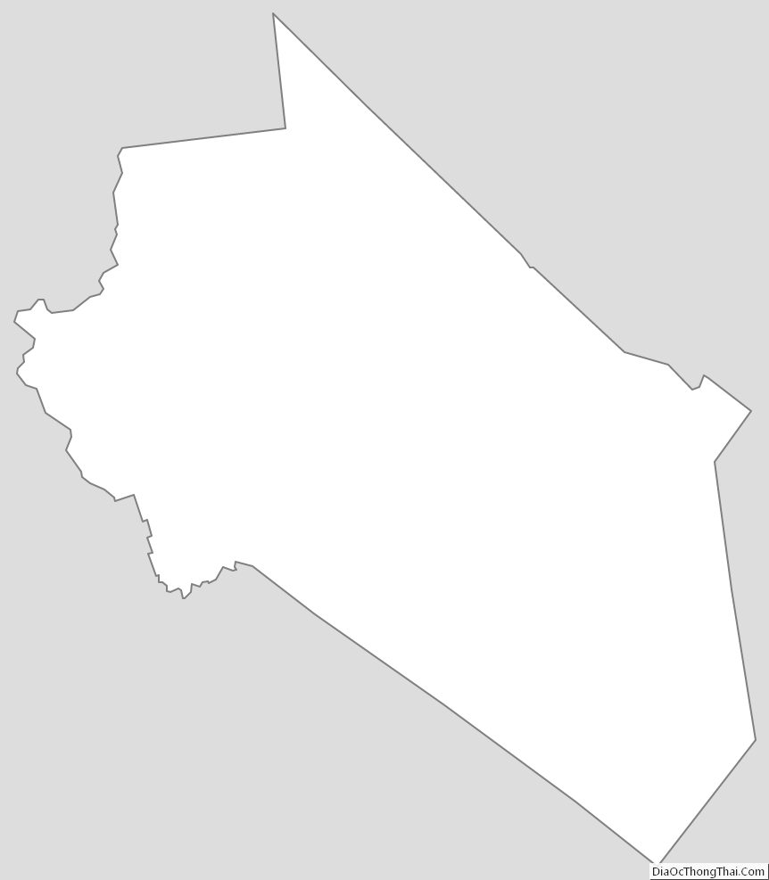
Belknap County Outline Map