Beltrami County (/bɛlˈtræmiː/ bel-TRAM-ee) is a county in the northern part of the U.S. state of Minnesota. As of the 2020 census, the population was 46,228. Its county seat is Bemidji. The county’s name comes from Italian adventurer Giacomo Beltrami from Bergamo, who explored the area in 1825. The county was created in 1866 and organized in 1896.
Beltrami County comprises the Bemidji, MN Micropolitan Statistical Area.
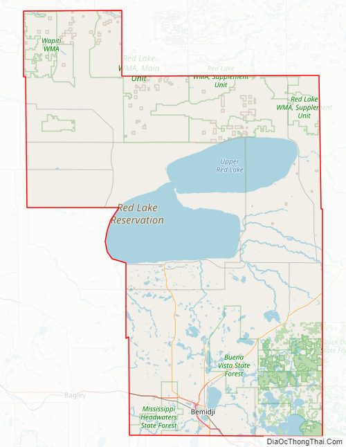
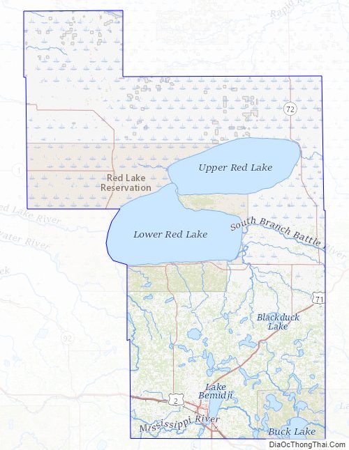
Portions of the Leech Lake and Red Lake Indian reservations are in the county. The northernmost portion of the Mississippi River flows through the southern part of the county, through Bemidji. Beltrami, Renville, and Stearns are Minnesota’s only counties that abut nine other counties.
| Name: | Beltrami County |
|---|---|
| FIPS code: | 27-007 |
| State: | Minnesota |
| Founded: | 1866 |
| Named for: | Giacomo Constantino Beltrami |
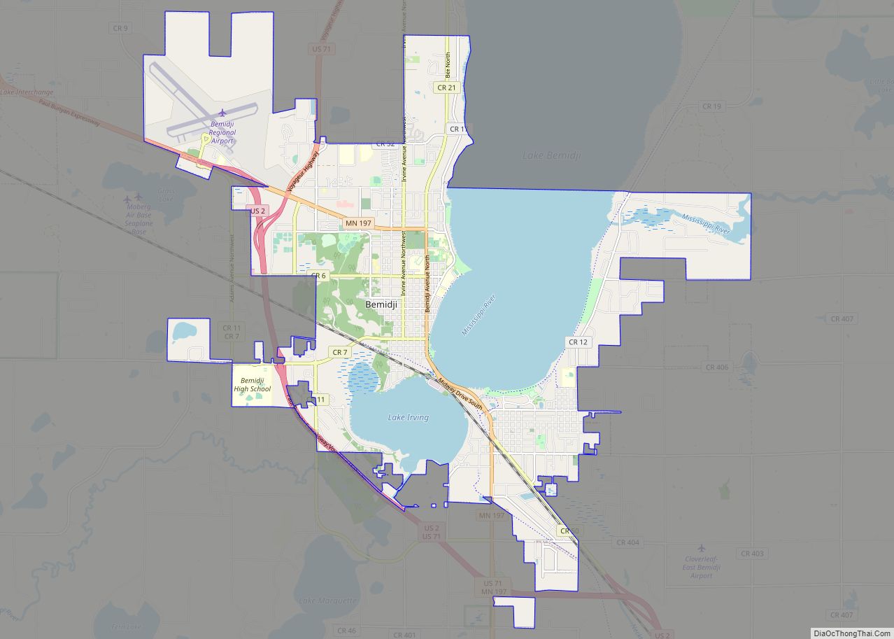
| Seat: | Bemidji |
| Largest city: | Bemidji |
| Total Area: | 3,056 sq mi (7,920 km²) |
| Land Area: | 2,505 sq mi (6,490 km²) |
| Total Population: | 46,228 |
| Population Density: | 18.6/sq mi (7.2/km²) |
| Time zone: | UTC−6 (Central) |
| Summer Time Zone (DST): | UTC−5 (CDT) |
| Website: | www.co.beltrami.mn.us |
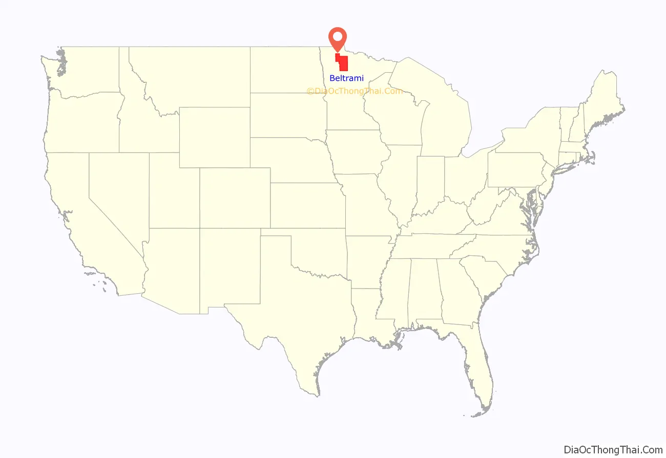
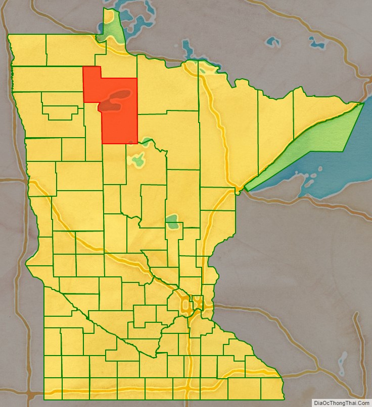
Beltrami County location map. Where is Beltrami County?
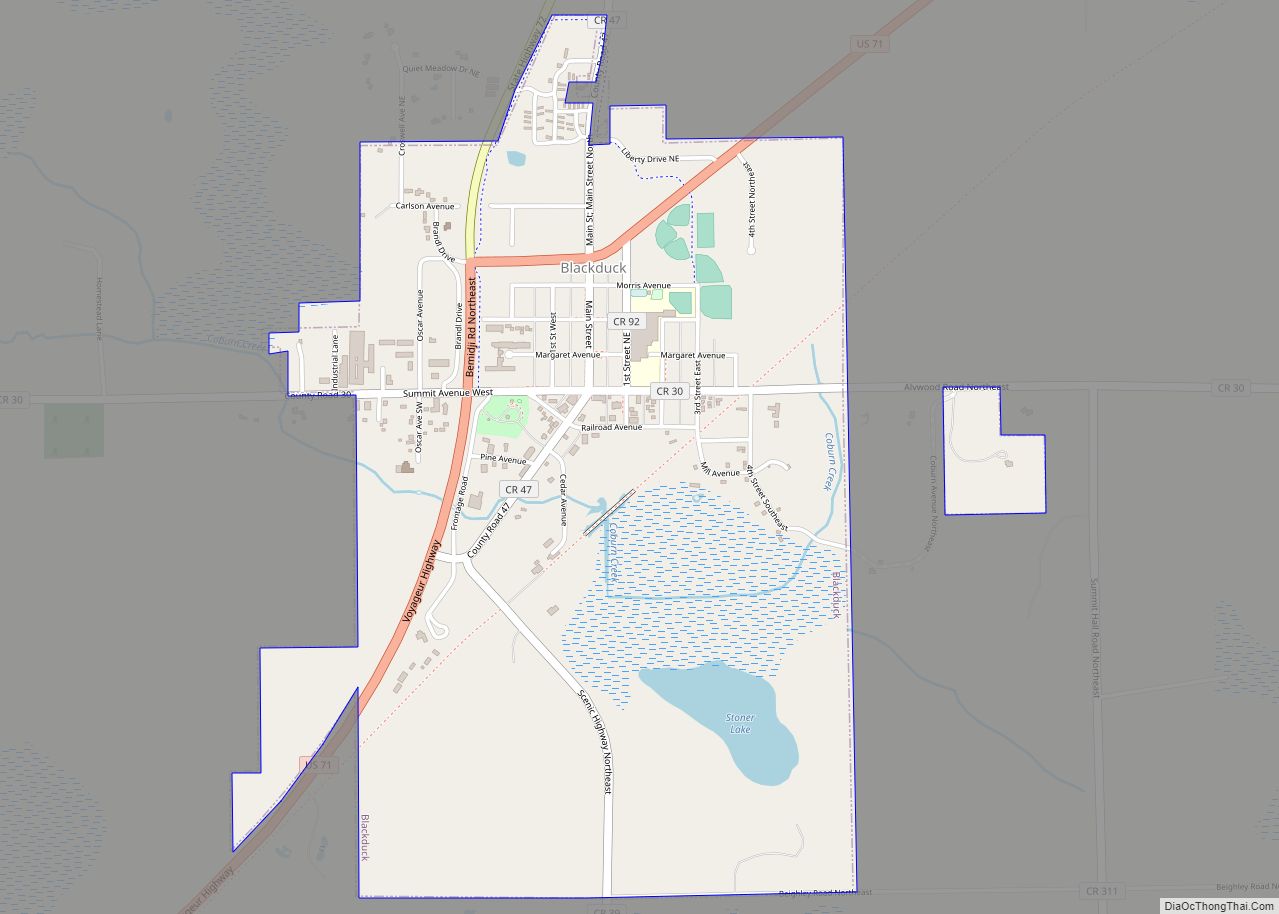
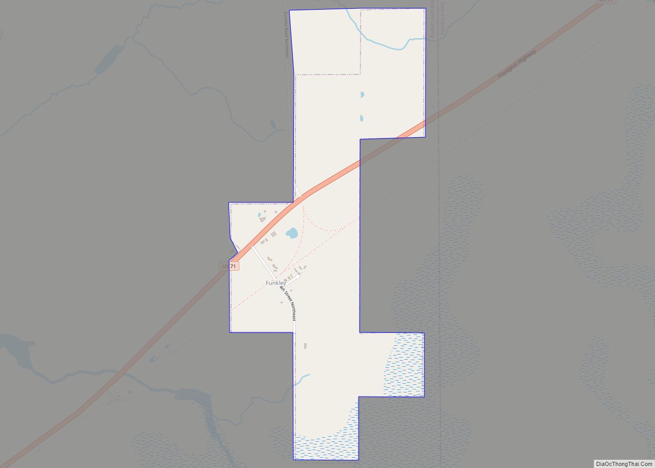
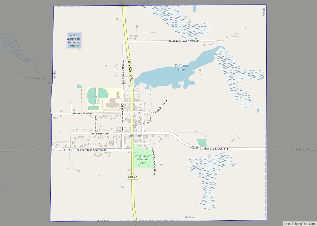
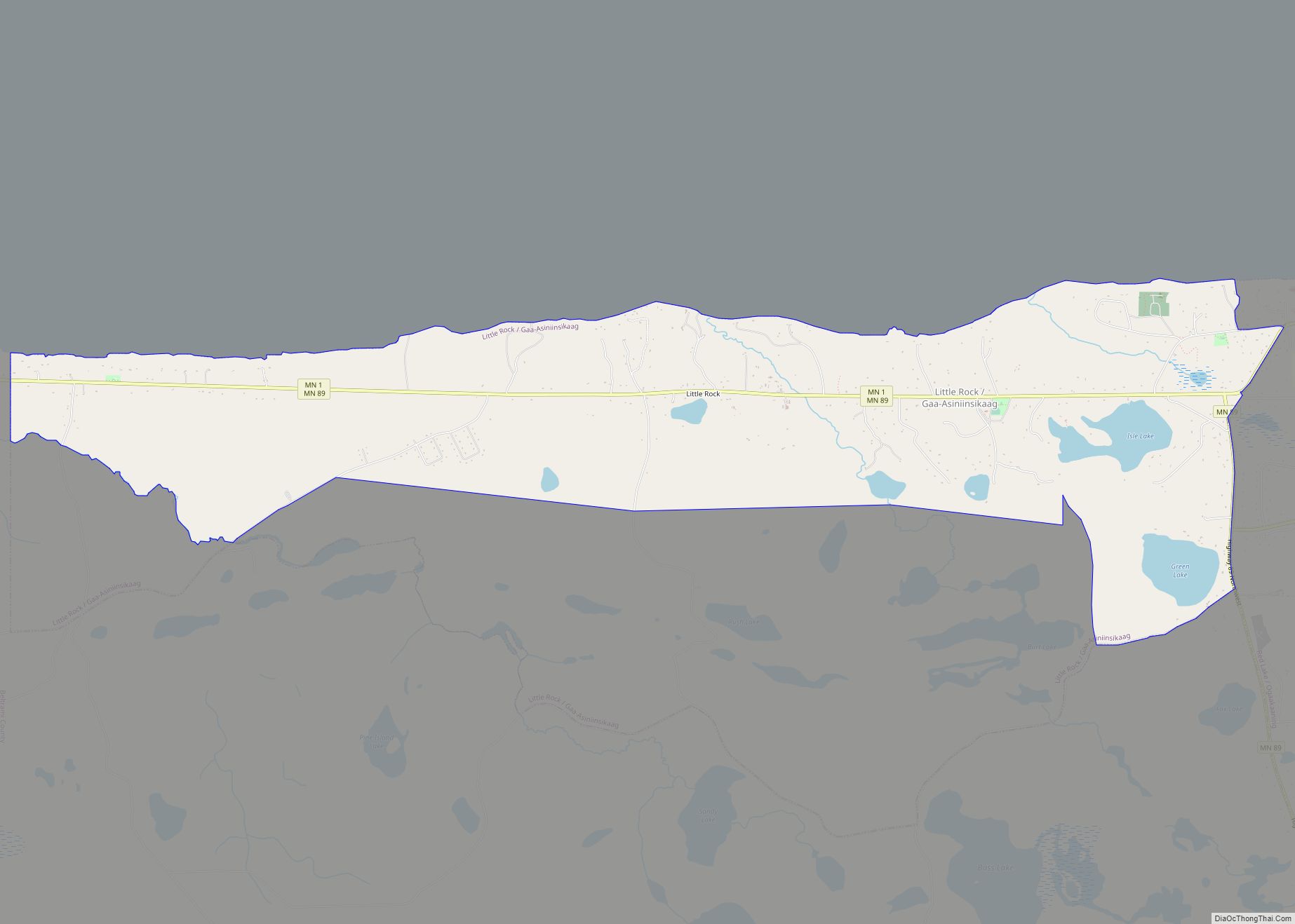
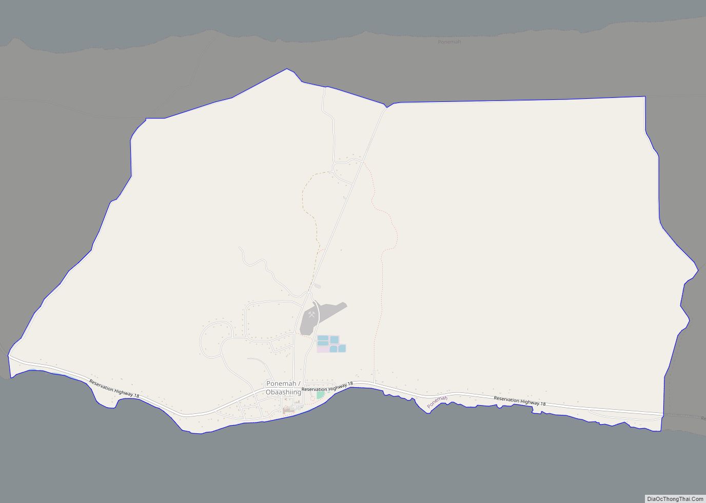
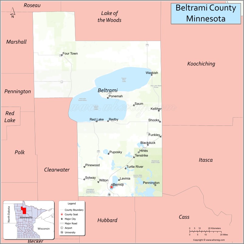
Beltrami County Road Map
Geography
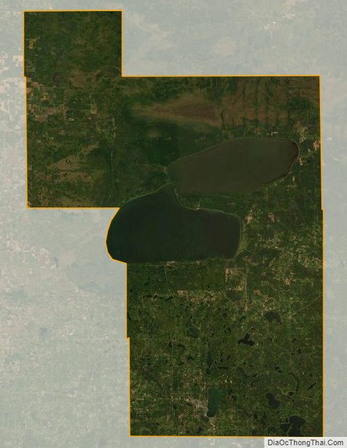
Beltrami County’s southwest corner is considered part of the headwaters of the Mississippi River, which flows easterly and northeasterly from Lake Itasca through the southern part of the county. Much of the middle and upper county is taken up with the two sections of Red Lake. The county terrain consists of rolling low tree-covered hills, dotted with lakes and ponds. The terrain slopes to the east and north. Its highest point is a small hill 1.3 mile (2.1 km) northwest of Wolf Lake, at 1,511′ (460m) ASL; otherwise the terrain high point is near its southwest corner, at 1,457′ (444m) ASL. The county has a total area of 3,056 square miles (7,920 km), of which 2,505 square miles (6,490 km) is land and 551 square miles (1,430 km) (18%) is water. It is the fourth-largest county in Minnesota by area.
Major highways
- U.S. Highway 2
- U.S. Highway 71
- Minnesota State Highway 1
- Minnesota State Highway 72
- Minnesota State Highway 89
- Minnesota State Highway 197
Adjacent counties
- Lake of the Woods County – north
- Koochiching County – northeast
- Itasca County – east
- Cass County – southeast
- Hubbard County – south
- Clearwater County – southwest
- Pennington County – west
- Marshall County – west
- Roseau County – northwest
Protected areas
- Bagley Lake State Wildlife Management Area (part)
- Buena Vista State Forest
- Chippewa National Forest (part)
- Lake Bemidji State Park
- Long Lake State Wildlife Management Area
- Mississippi Headwaters State Forest (part)
- Pine Island State Forest (part)
- Red Lake Peatland Scientific and Natural Area (part)
- Three Island Lake County Park
Beltrami County Topographic Map
Beltrami County Satellite Map
Beltrami County Outline Map