Blount County is a county located in the U.S. state of Alabama. As of the 2020 census, the population was 59,134. Its county seat is Oneonta.
Blount County is a moist county. In the November 6, 2012 elections, a countywide ballot initiative to allow alcohol sales was narrowly defeated, but Blountsville, Cleveland and Oneonta have allowed for the sale of alcohol since 2013.
Blount County has been dubbed the “Covered Bridge Capital of Alabama” since it has more historic covered bridges standing within a single county than any other in the state – with earlier covered bridges known of. This county celebrates the Covered Bridge Festival every autumn in Oneonta to commemorate its three remaining covered bridges.
| Name: | Blount County |
|---|---|
| FIPS code: | 01-009 |
| State: | Alabama |
| Founded: | February 6, 1818 |
| Seat: | Oneonta |
| Largest city: | Oneonta |
| Total Area: | 651 sq mi (1,690 km²) |
| Land Area: | 645 sq mi (1,670 km²) |
| Total Population: | 59,134 |
| Population Density: | 91/sq mi (35/km²) |
| Time zone: | UTC−6 (Central) |
| Summer Time Zone (DST): | UTC−5 (CDT) |
| Website: | www.blountcountyal.gov |
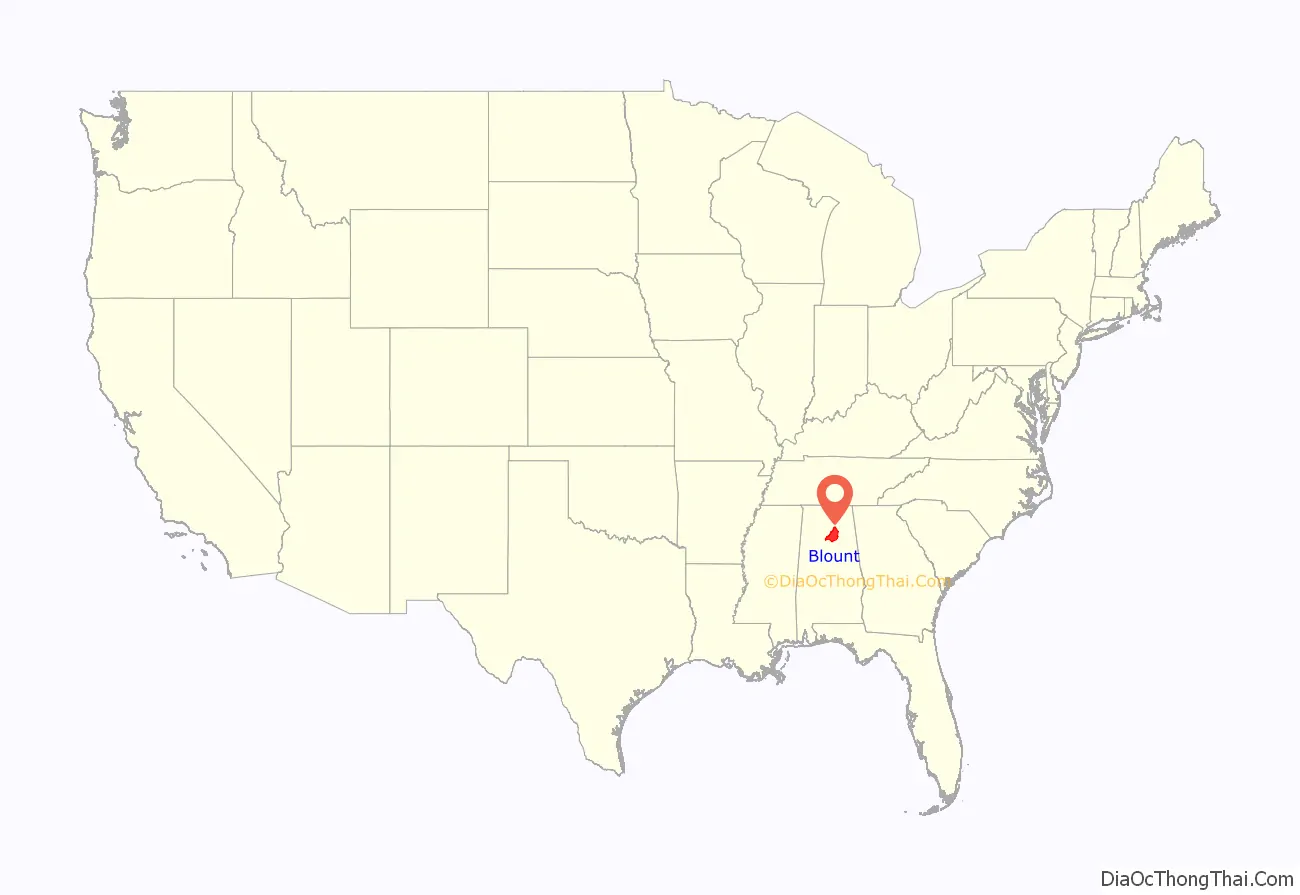
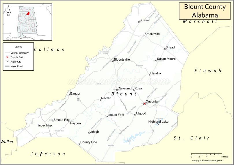
Blount County location map. Where is Blount County?
History
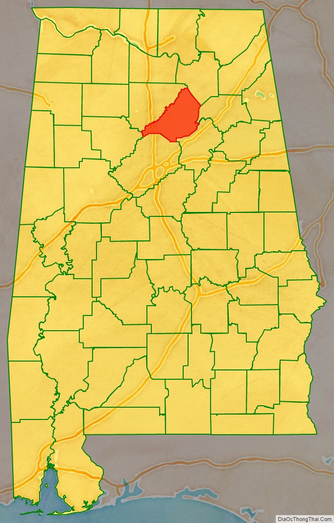
Blount County was created by the Alabama Territorial Legislature on February 6, 1818, formed from land ceded to the federal government by the Creek Nation on August 9, 1814. This county was named for Governor Willie Blount of Tennessee, who provided assistance to settlers in Alabama during the Creek War. This county lies in the northeastern quadrant of the state, which is sometimes known as the mineral region of Alabama. Blount County is bordered by Cullman, Marshall, Etowah, Jefferson, Walker, and St. Clair Counties. This county is drained by the Locust and Mulberry Forks of the Black Warrior River. Blount County covers 650 square miles (1,700 km). The Warrior coal field is located in Blount County.
Caleb Fryley and John Jones established Bear Meat Cabin in 1816. Its post office was opened in 1821, and the settlement was incorporated as Blountsville on December 13, 1827. In 1889, an election resulted in the county seat being transferred to Oneonta, Alabama.
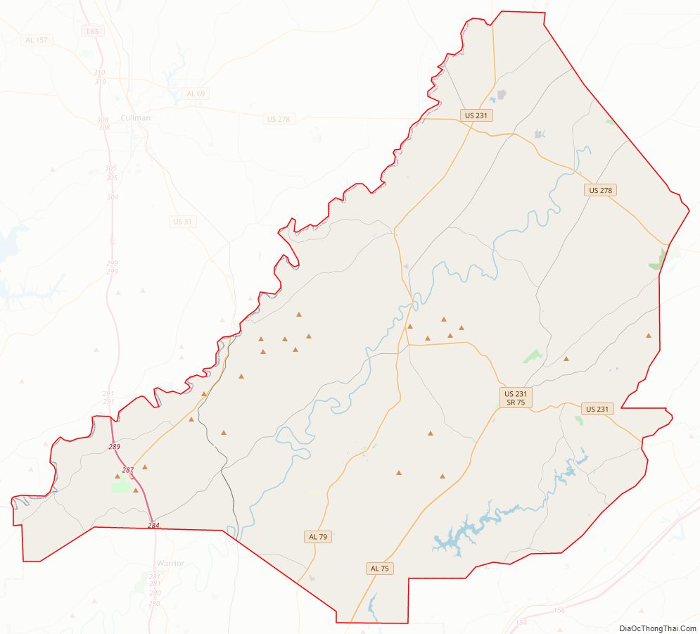
Blount County Road Map
Geography
According to the United States Census Bureau, the county has a total area of 651 square miles (1,690 km), of which 645 square miles (1,670 km) is land and 5.9 square miles (15 km) (0.9%) is water.
Adjacent counties
- Marshall County – northeast
- Etowah County – east
- St. Clair County – southeast
- Walker County – southwest
- Jefferson County – south
- Cullman County – northwest
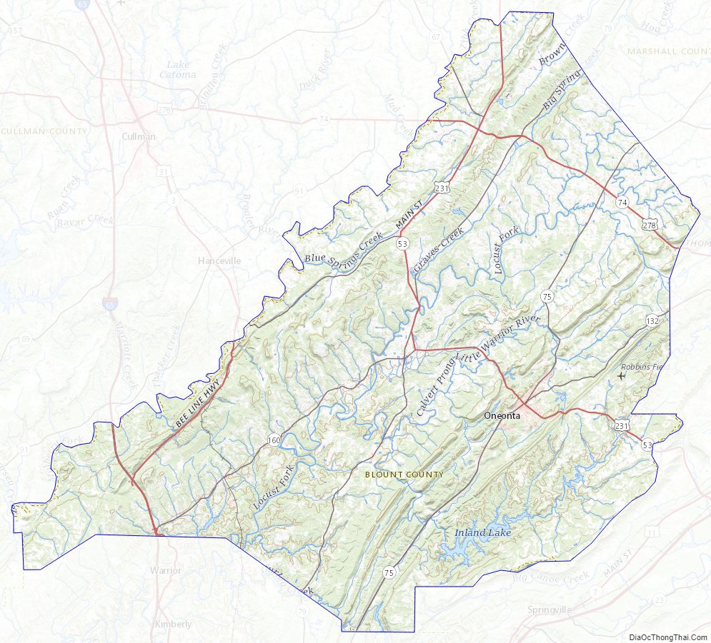
Blount County Topographic Map
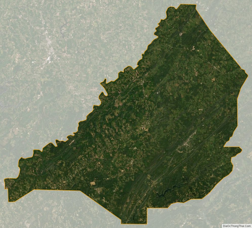
Blount County Satellite Map
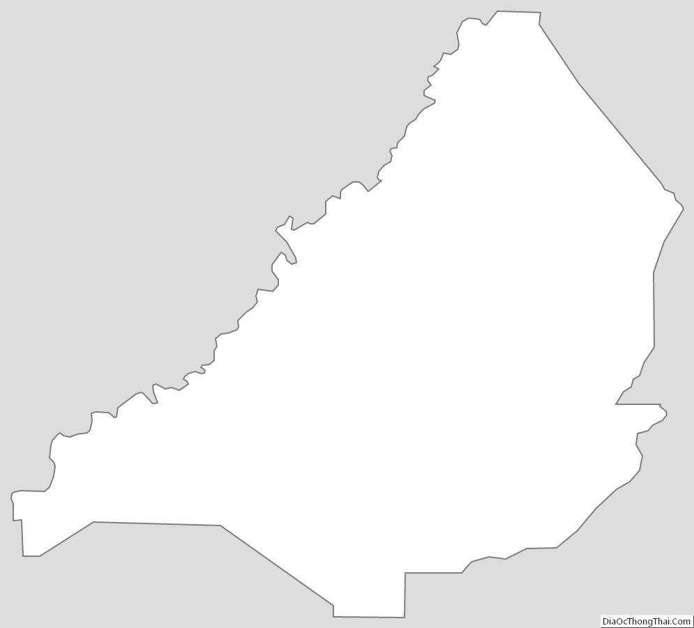
Blount County Outline Map