Blountsville is a town in Blount County, Alabama, United States. As of the 2010 census it had a population of 1,684.
Blount County was created by the Alabama territorial legislature on February 6, 1818, from land ceded to the federal government by the Creek Nation on August 9, 1814. It was named for Gov. Willie G. Blount of Tennessee, who provided assistance to settlers in Alabama during the Creek War of 1813–14. It lies in the northeastern section of the state, generally known as the mineral region.
| Name: | Blountsville town |
|---|---|
| LSAD Code: | 43 |
| LSAD Description: | town (suffix) |
| State: | Alabama |
| County: | Blount County |
| Elevation: | 712 ft (217 m) |
| Total Area: | 5.49 sq mi (14.22 km²) |
| Land Area: | 5.42 sq mi (14.04 km²) |
| Water Area: | 0.07 sq mi (0.18 km²) |
| Total Population: | 1,826 |
| Population Density: | 336.84/sq mi (130.06/km²) |
| ZIP code: | 35031 |
| FIPS code: | 0107456 |
| GNISfeature ID: | 0114510 |
| Website: | blountsvilleal.com |
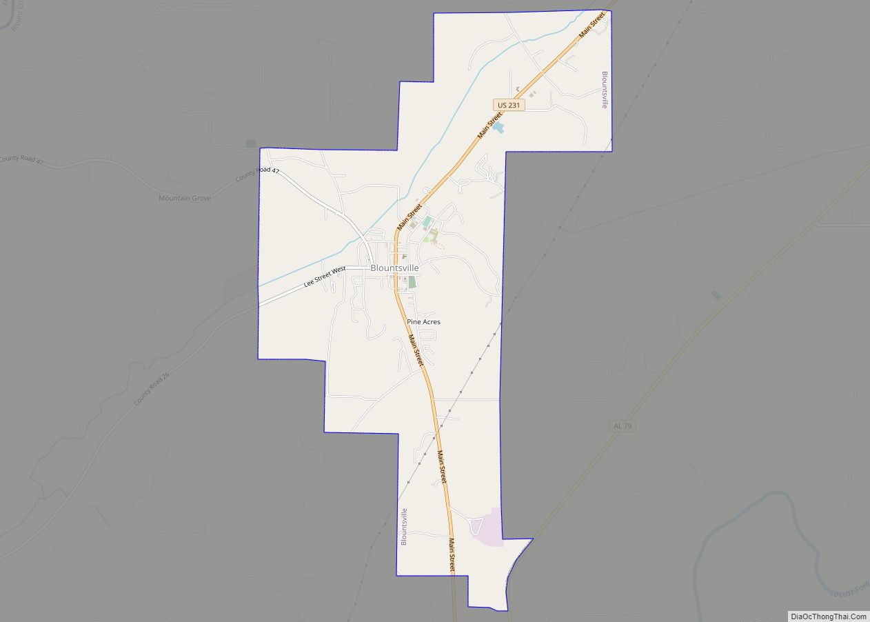
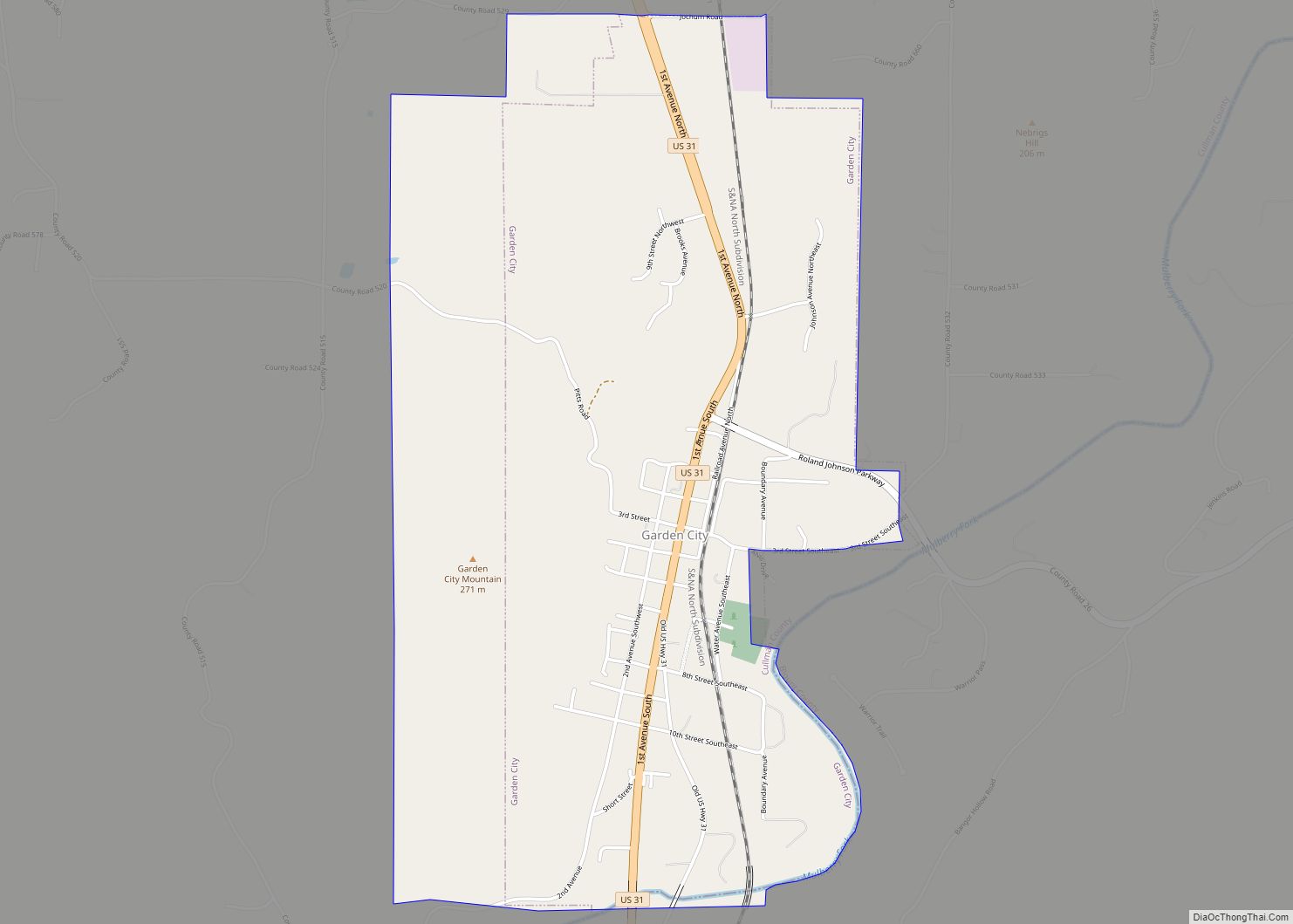
Online Interactive Map
Click on ![]() to view map in "full screen" mode.
to view map in "full screen" mode.
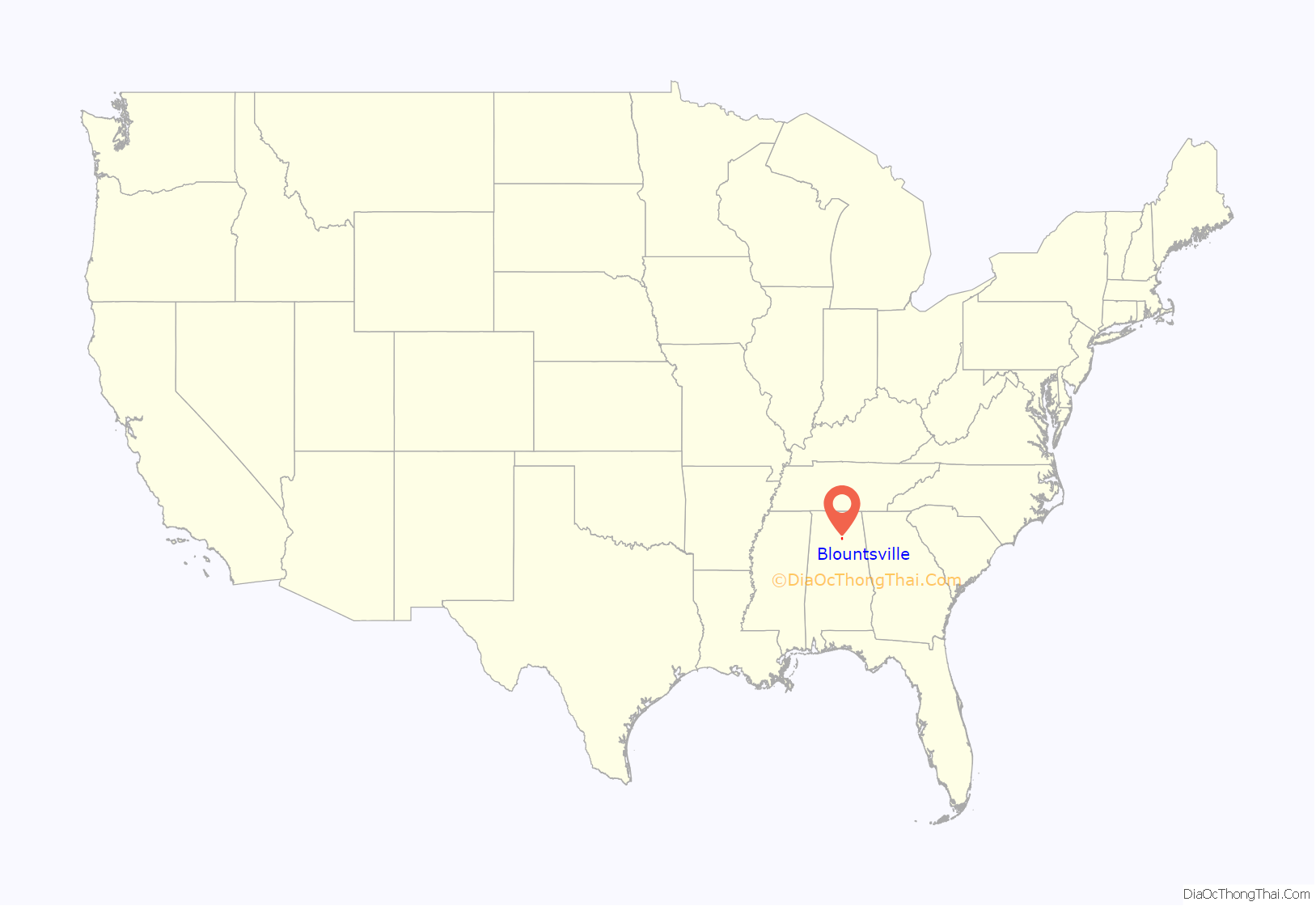
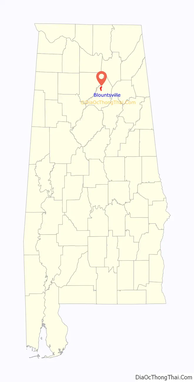
Blountsville location map. Where is Blountsville town?
History
What became Blountsville appears on an 1819 map as the mixed Creek/Cherokee Native American village of “Wassausey” (meaning Bear Meat Cabin, the name of an Indian translator who lived there). The town was established by Caleb Fryley and Johnny Jones in 1816 as Bear Meat Cabin. It became a popular stop for westward-bound settlers who streamed into the area at the end of the Creek War. The post office was opened as Blountsville on October 20, 1825, and incorporated on December 13, 1827. It was the county seat until 1889 when the government was moved to Oneonta.
There were many schools in the town in the early years: The Academy, Blount College and the District Agricultural School, plus the public schools. The Blount County Courthouse and jail was built in 1833 and remained there until it was moved to Oneonta. A major crossroads in early Alabama, Blountsville became a Confederate depot for the cavalry. Confederate forces led by General Nathan Bedford Forrest and Union forces led by General Abel Streight skirmished briefly in the town on May 1, 1863, and Major General Lovell H. Rousseau and his Union cavalry occupied the town in July 1864. Blount College was in the building that was originally the courthouse. It was established in 1890. The beautiful Blountsville United Methodist Church was established in 1818 and is the oldest building in Blountsville and is still in use today. Another old building in Blountsville was once known as the Barclift House. Built in 1834 as Hendricks Tavern, it is now owned and is being restored by the Ortiz family.
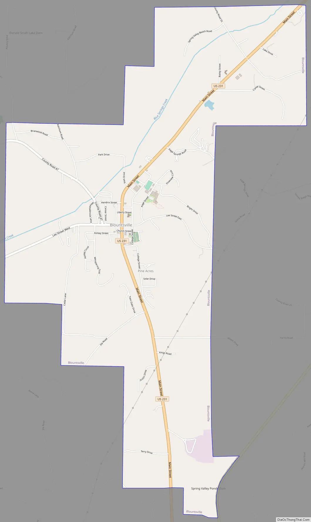
Blountsville Road Map
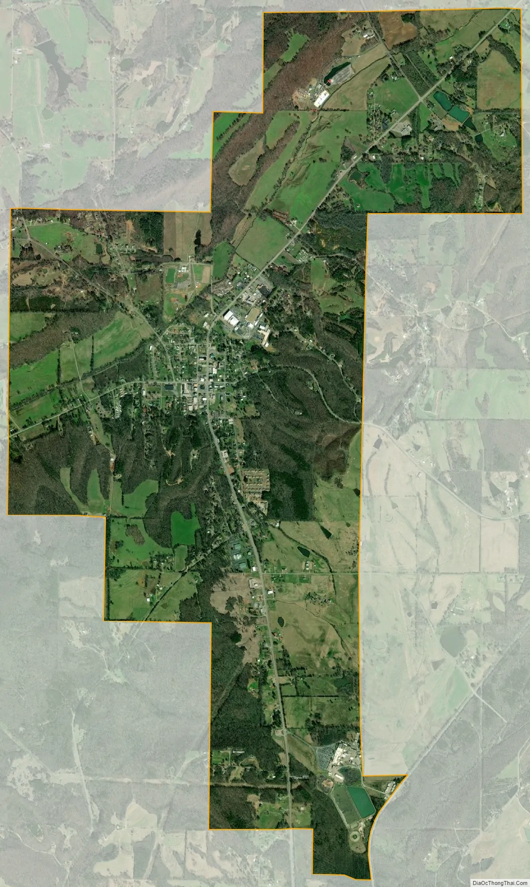
Blountsville city Satellite Map
Geography
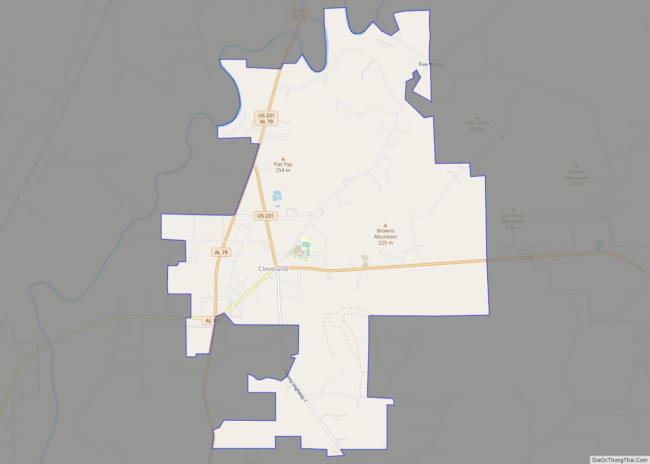
Blountsville is located in northern Blount County, in the Blountsville Valley at the intersection of County Highway 26 and U.S. Highway 231. Route 231 leads south 6 miles (10 km) to Cleveland and 14 miles (23 km) to Oneonta, the county seat, and north 50 miles (80 km) to Huntsville. Alabama Highway 79 runs through the southern corner of Blountsville, leading northeast to Guntersville and southwest to Birmingham.
According to the U.S. Census Bureau, Blountsville has a total area of 5.5 square miles (14.2 km), of which 5.4 square miles (14.0 km) is land and 0.077 square miles (0.2 km), or 1.27%, is water.
See also
Map of Alabama State and its subdivision:- Autauga
- Baldwin
- Barbour
- Bibb
- Blount
- Bullock
- Butler
- Calhoun
- Chambers
- Cherokee
- Chilton
- Choctaw
- Clarke
- Clay
- Cleburne
- Coffee
- Colbert
- Conecuh
- Coosa
- Covington
- Crenshaw
- Cullman
- Dale
- Dallas
- De Kalb
- Elmore
- Escambia
- Etowah
- Fayette
- Franklin
- Geneva
- Greene
- Hale
- Henry
- Houston
- Jackson
- Jefferson
- Lamar
- Lauderdale
- Lawrence
- Lee
- Limestone
- Lowndes
- Macon
- Madison
- Marengo
- Marion
- Marshall
- Mobile
- Monroe
- Montgomery
- Morgan
- Perry
- Pickens
- Pike
- Randolph
- Russell
- Saint Clair
- Shelby
- Sumter
- Talladega
- Tallapoosa
- Tuscaloosa
- Walker
- Washington
- Wilcox
- Winston
- Alabama
- Alaska
- Arizona
- Arkansas
- California
- Colorado
- Connecticut
- Delaware
- District of Columbia
- Florida
- Georgia
- Hawaii
- Idaho
- Illinois
- Indiana
- Iowa
- Kansas
- Kentucky
- Louisiana
- Maine
- Maryland
- Massachusetts
- Michigan
- Minnesota
- Mississippi
- Missouri
- Montana
- Nebraska
- Nevada
- New Hampshire
- New Jersey
- New Mexico
- New York
- North Carolina
- North Dakota
- Ohio
- Oklahoma
- Oregon
- Pennsylvania
- Rhode Island
- South Carolina
- South Dakota
- Tennessee
- Texas
- Utah
- Vermont
- Virginia
- Washington
- West Virginia
- Wisconsin
- Wyoming