Oneonta (/ˌɒniˈɒnɒ/) is a city in Blount County, Alabama, United States. At the 2020 census, the population was 6,938. The city is the county seat of Blount County. Oneonta is home to the Covered Bridge Festival.
| Name: | Oneonta city |
|---|---|
| LSAD Code: | 25 |
| LSAD Description: | city (suffix) |
| State: | Alabama |
| County: | Blount County |
| Elevation: | 873 ft (266 m) |
| Total Area: | 15.88 sq mi (41.14 km²) |
| Land Area: | 15.83 sq mi (40.99 km²) |
| Water Area: | 0.06 sq mi (0.14 km²) |
| Total Population: | 6,938 |
| Population Density: | 438.36/sq mi (169.25/km²) |
| ZIP code: | 35121 |
| Area code: | 205, 659 |
| FIPS code: | 0157000 |
| GNISfeature ID: | 0152813 |
| Website: | www.cityofoneonta.us |
Online Interactive Map
Click on ![]() to view map in "full screen" mode.
to view map in "full screen" mode.
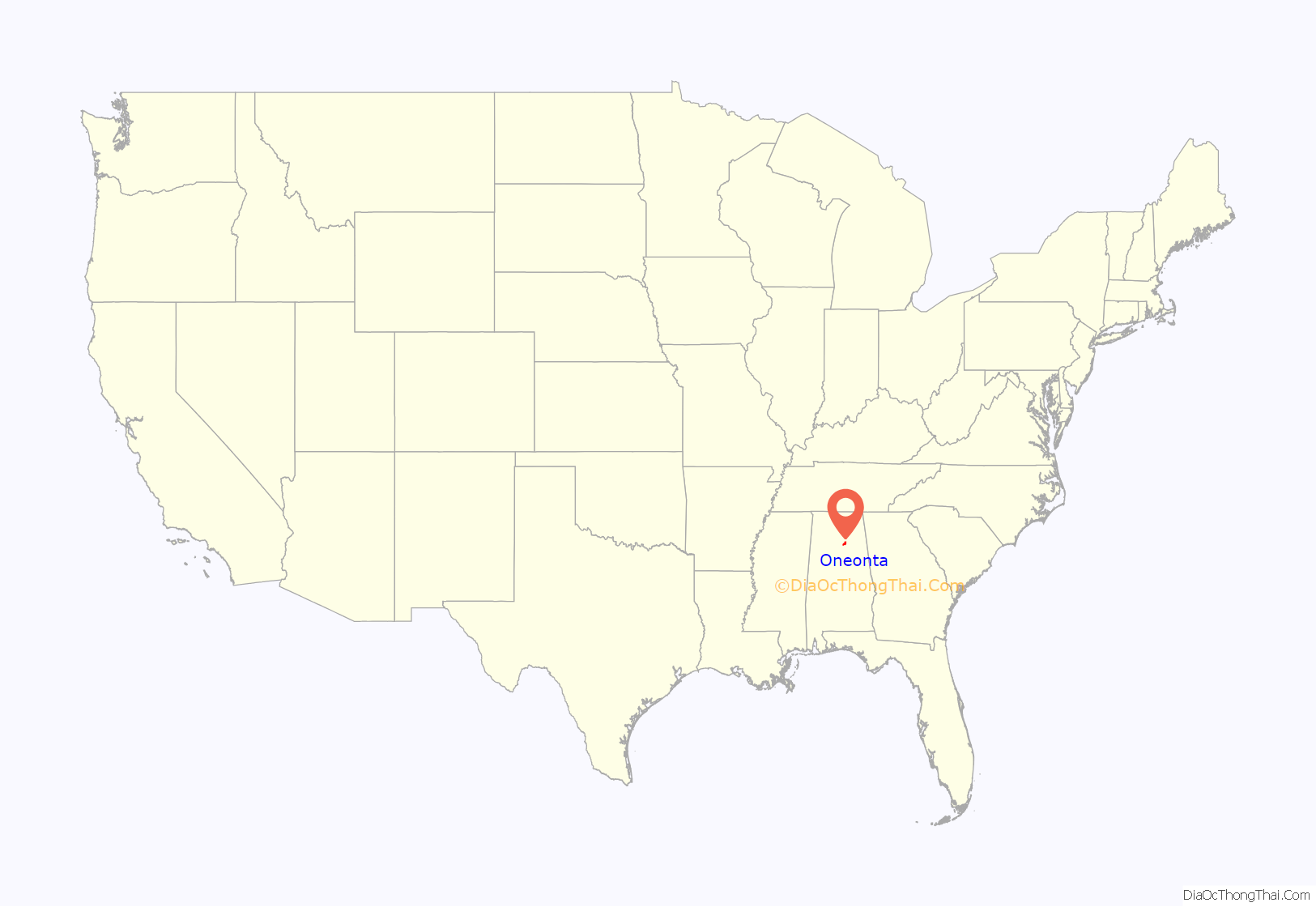
Oneonta location map. Where is Oneonta city?

History
A post office called Oneonta has been in operation since 1889. The city was named after Oneonta, New York, the native home of a railroad official. In 1889, the county seat was transferred to Oneonta from Blountsville.
During World War II, a small POW camp was operated outside of Oneonta.
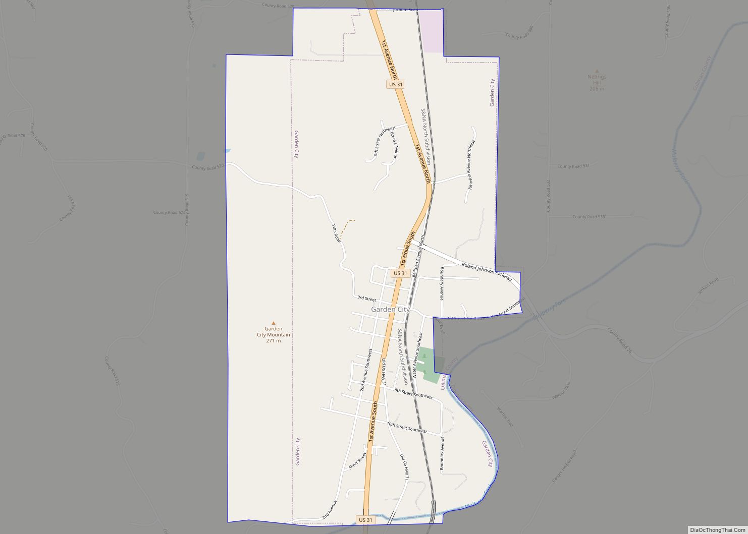
Oneonta Road Map

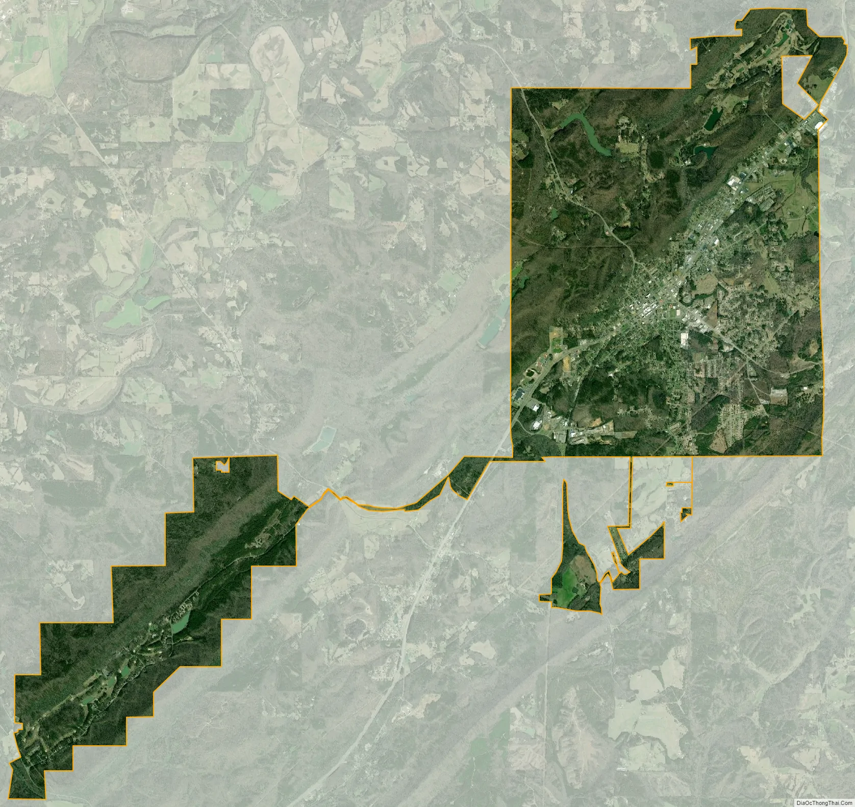
Oneonta city Satellite Map
Geography
Oneonta is located in eastern Blount County at 33°56’32.291″ North, 86°28’43.586″ West (33.942303, -86.478774). It is situated in Murphree Valley between Red Mountain and Sand Mountain to the northwest and Straight Mountain to the southeast.
U.S. Route 231 passes through the center of the city, leading northwest 7 miles (11 km) to Cleveland, Alabama, and southeast 14 miles (23 km) to Interstate 59 in Ashville.
According to the U.S. Census Bureau, the city has a total area of 15.3 square miles (39.5 km), of which 15.2 square miles (39.3 km) is land and 0.077 square miles (0.2 km), or 0.54%, is water.
Climate
See also
Map of Alabama State and its subdivision:- Autauga
- Baldwin
- Barbour
- Bibb
- Blount
- Bullock
- Butler
- Calhoun
- Chambers
- Cherokee
- Chilton
- Choctaw
- Clarke
- Clay
- Cleburne
- Coffee
- Colbert
- Conecuh
- Coosa
- Covington
- Crenshaw
- Cullman
- Dale
- Dallas
- De Kalb
- Elmore
- Escambia
- Etowah
- Fayette
- Franklin
- Geneva
- Greene
- Hale
- Henry
- Houston
- Jackson
- Jefferson
- Lamar
- Lauderdale
- Lawrence
- Lee
- Limestone
- Lowndes
- Macon
- Madison
- Marengo
- Marion
- Marshall
- Mobile
- Monroe
- Montgomery
- Morgan
- Perry
- Pickens
- Pike
- Randolph
- Russell
- Saint Clair
- Shelby
- Sumter
- Talladega
- Tallapoosa
- Tuscaloosa
- Walker
- Washington
- Wilcox
- Winston
- Alabama
- Alaska
- Arizona
- Arkansas
- California
- Colorado
- Connecticut
- Delaware
- District of Columbia
- Florida
- Georgia
- Hawaii
- Idaho
- Illinois
- Indiana
- Iowa
- Kansas
- Kentucky
- Louisiana
- Maine
- Maryland
- Massachusetts
- Michigan
- Minnesota
- Mississippi
- Missouri
- Montana
- Nebraska
- Nevada
- New Hampshire
- New Jersey
- New Mexico
- New York
- North Carolina
- North Dakota
- Ohio
- Oklahoma
- Oregon
- Pennsylvania
- Rhode Island
- South Carolina
- South Dakota
- Tennessee
- Texas
- Utah
- Vermont
- Virginia
- Washington
- West Virginia
- Wisconsin
- Wyoming