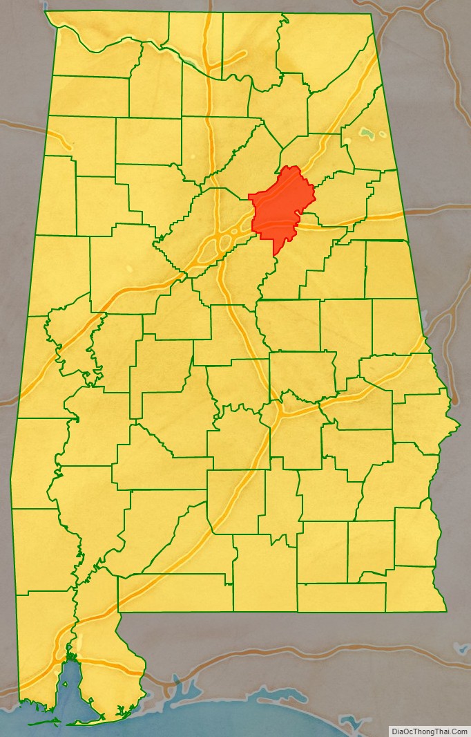
St. Clair County is a county located in the central portion of the U.S. state of Alabama. As of the 2020 census, the population was 91,103. It has two county seats: Ashville and Pell City. It is one of two counties in Alabama, and one of 33 in the United States, with more than one county seat. Its name is in honor of General Arthur St. Clair, an officer in the French and Indian War. St. Clair County is included in the Birmingham–Hoover, Alabama Metropolitan Statistical Area.
| Name: | St. Clair County |
|---|---|
| FIPS code: | 01-115 |
| State: | Alabama |
| Founded: | November 20, 1818 |
| Named for: | Arthur St. Clair |
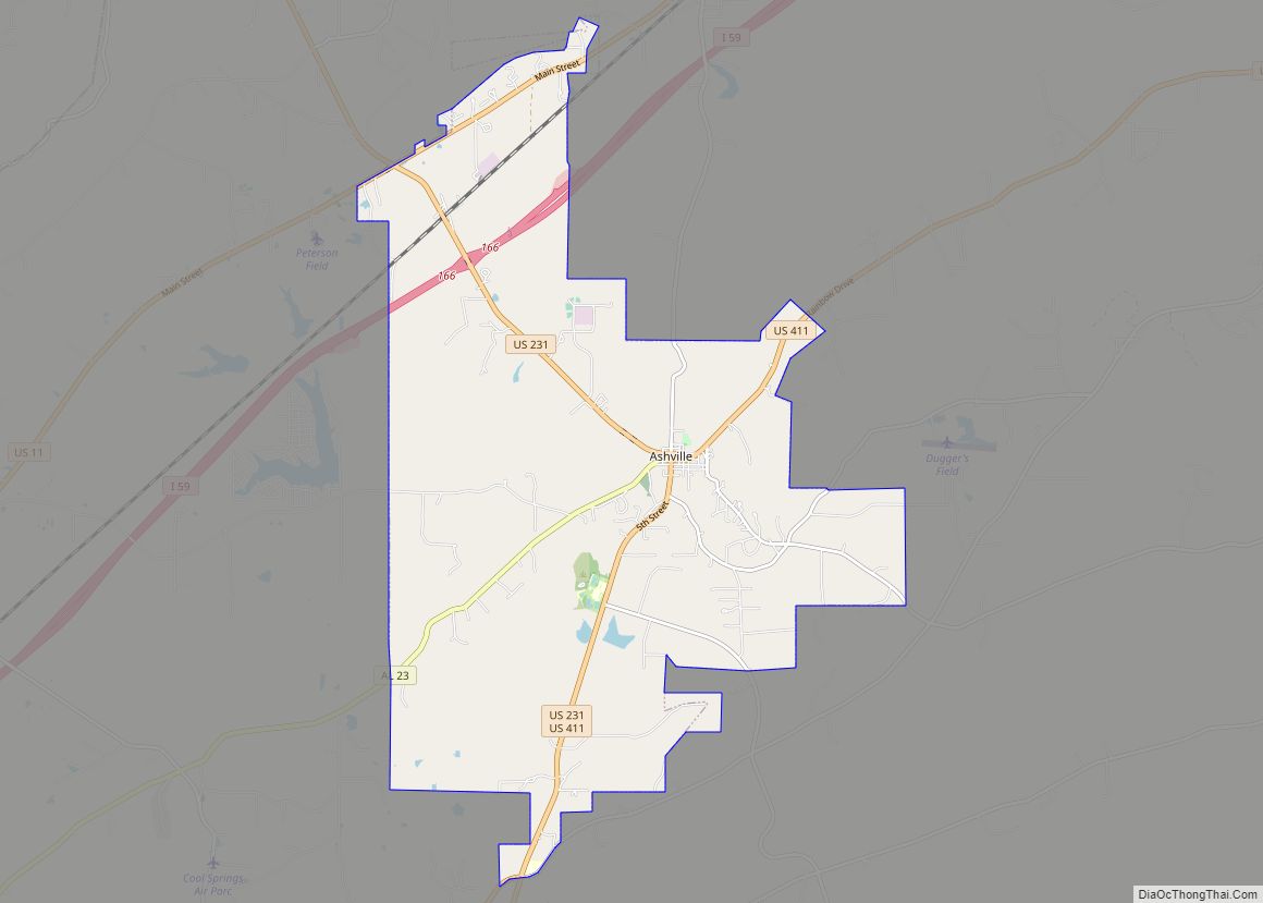
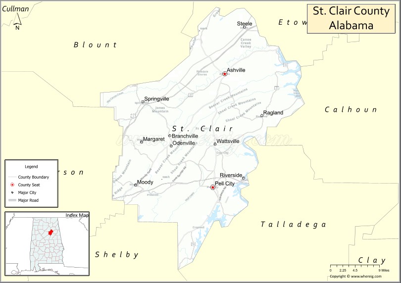
| Seat: | Ashville & Pell City |
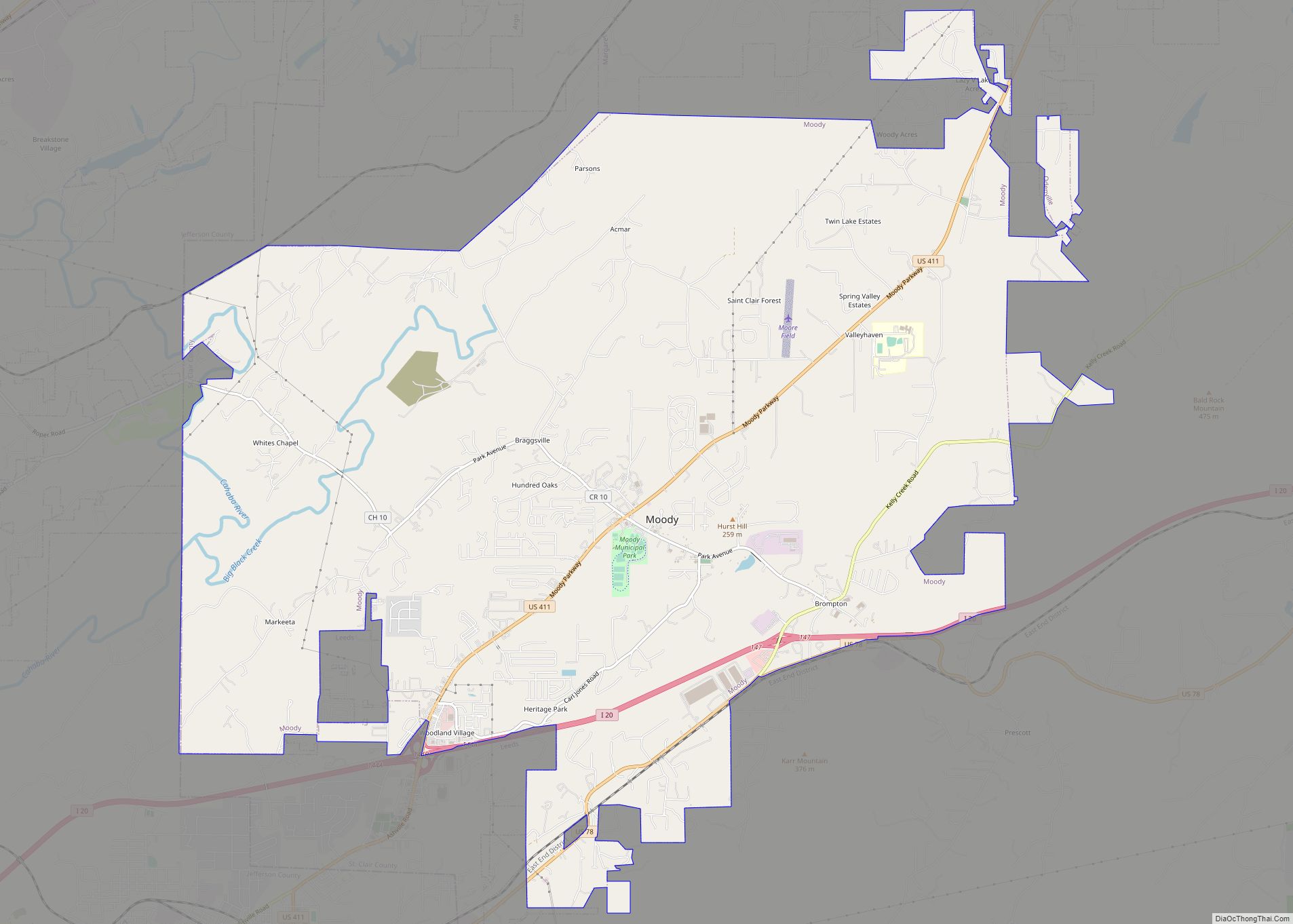
| Largest city: | Moody |
| Total Area: | 654 sq mi (1,690 km²) |
| Land Area: | 632 sq mi (1,640 km²) |
| Total Population: | 91,103 |
| Population Density: | 140/sq mi (54/km²) |
| Time zone: | UTC−6 (Central) |
| Summer Time Zone (DST): | UTC−5 (CDT) |
| Website: | www.stclairco.com |
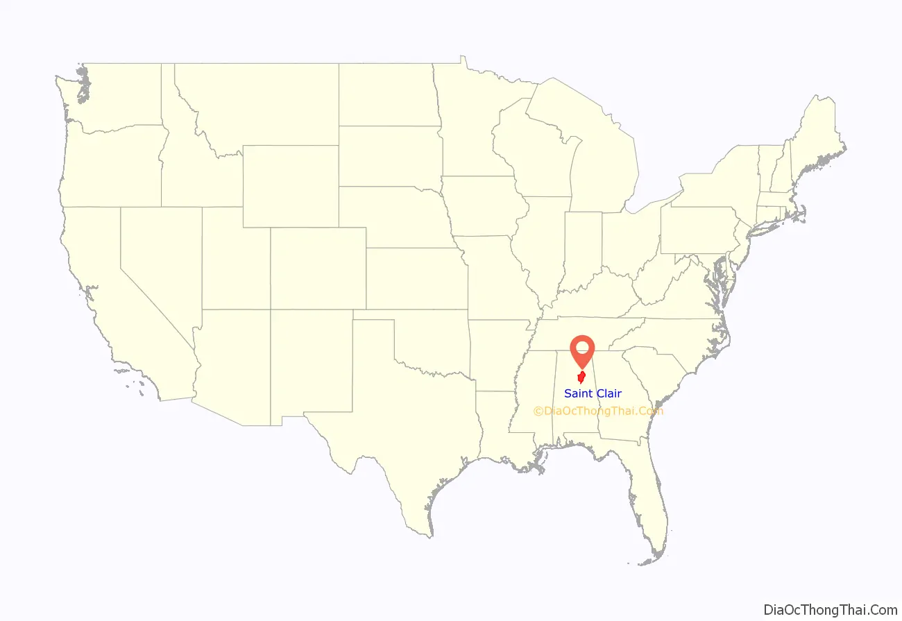
St. Clair County location map. Where is St. Clair County?
History
St. Clair County was established on November 20, 1818, by the Alabama Territory legislature by splitting the area from Shelby County. The county seat was incorporated and named “Ashville” in honor of John Ash. In 1836, a portion of St. Clair County was separated to establish Cherokee County and DeKalb County. In 1866, after the Civil War, a northeast section of the county was used to create Etowah County.
Due to the relatively high terrain of the far southern end of the Appalachian Mountains which divides the county in a northeast–southwest orientation, and the difficulty of communication and administration from either side of the county to the other, a second county seat was established in Pell City to better provide administration and services to the southeast side of the county.
In 2019, St. Clair County became the seventh county in Alabama to adopt its own flag.
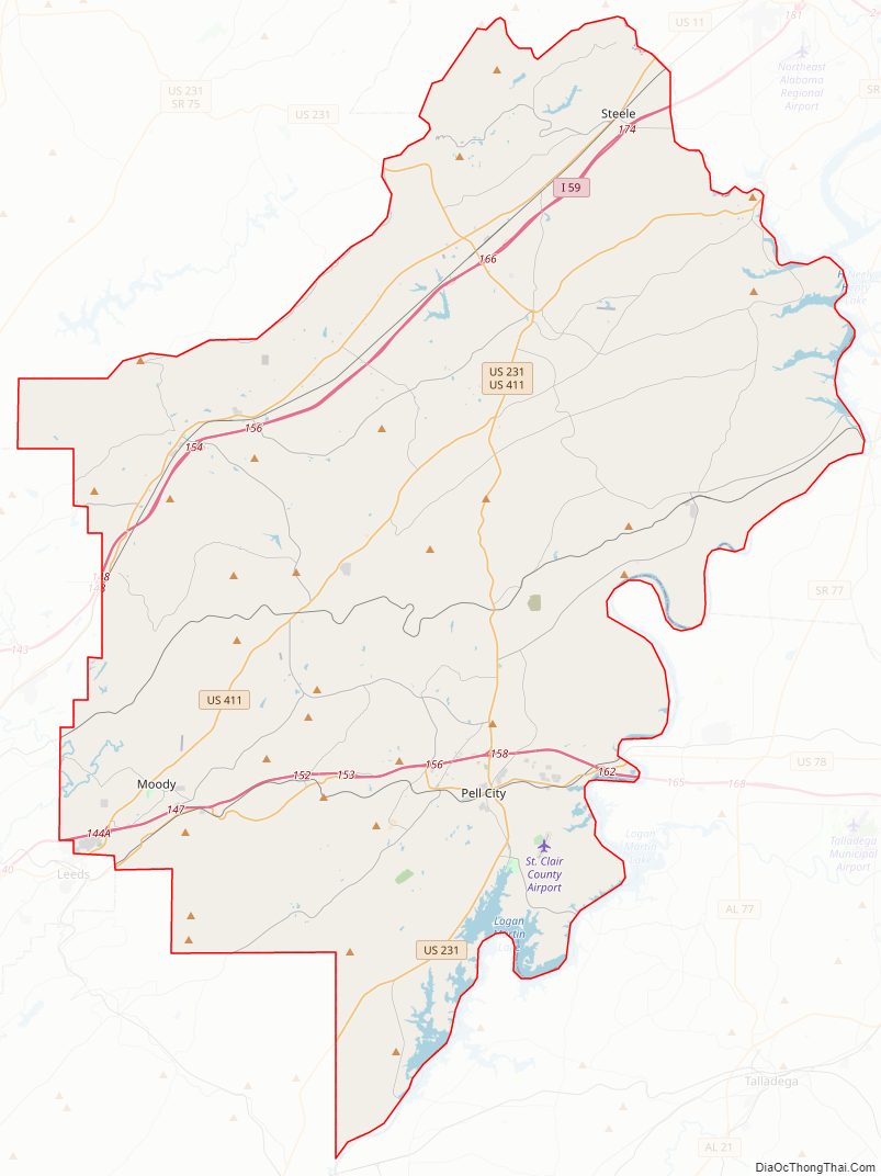
St. Clair County Road Map
Geography
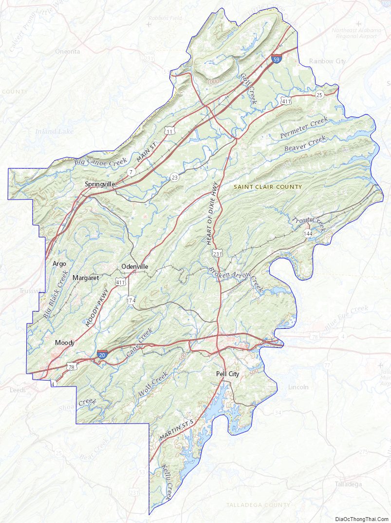
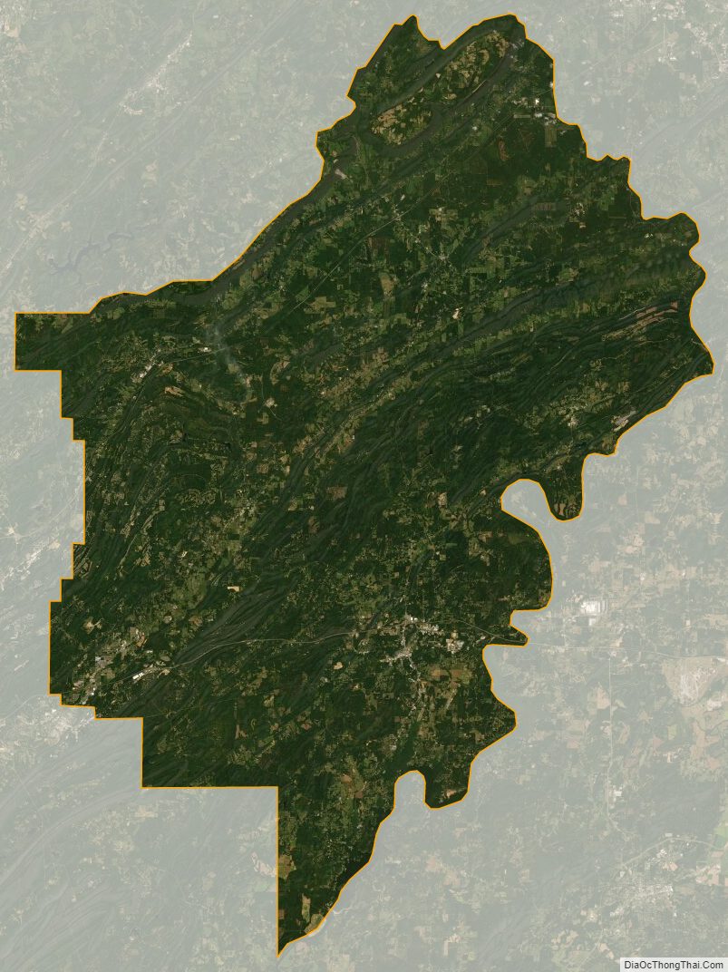
According to the United States Census Bureau, the county has a total area of 654 square miles (1,690 km), of which 632 square miles (1,640 km) is land and 22 square miles (57 km) (3.3%) is water.
Adjacent counties
- Etowah County – northeast
- Calhoun County – east
- Talladega County – southeast
- Shelby County – southwest
- Jefferson County – west
- Blount County – northwest
St. Clair County Topographic Map
St. Clair County Satellite Map
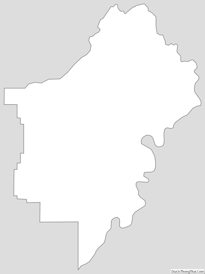
St. Clair County Outline Map