Boone County is a county located in the northern part of the U.S. state of Kentucky. As of the 2020 census, the population was 135,968, making it the fourth-most populous county in Kentucky. Its county seat is Burlington. The county was formed in 1798 from a portion of Campbell County. and was named for frontiersman Daniel Boone. Boone County, with Kenton and Campbell Counties, is of the Northern Kentucky metro area, and the Cincinnati-Middletown, OH-KY-IN Metropolitan Statistical Area. It is the location of the Cincinnati/Northern Kentucky International Airport, which serves Cincinnati and the tri-state area.
| Name: | Boone County |
|---|---|
| FIPS code: | 21-015 |
| State: | Kentucky |
| Founded: | 1798 |
| Named for: | Daniel Boone |
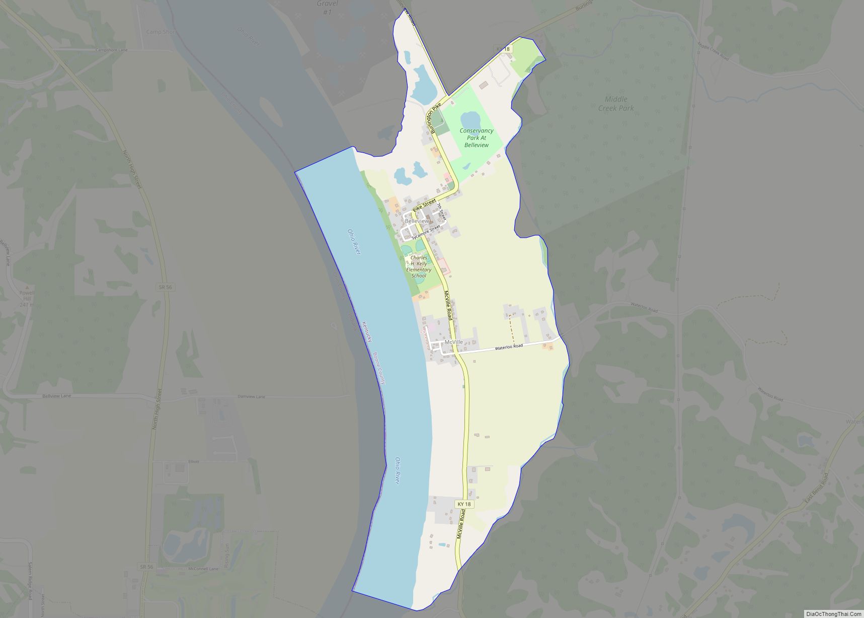
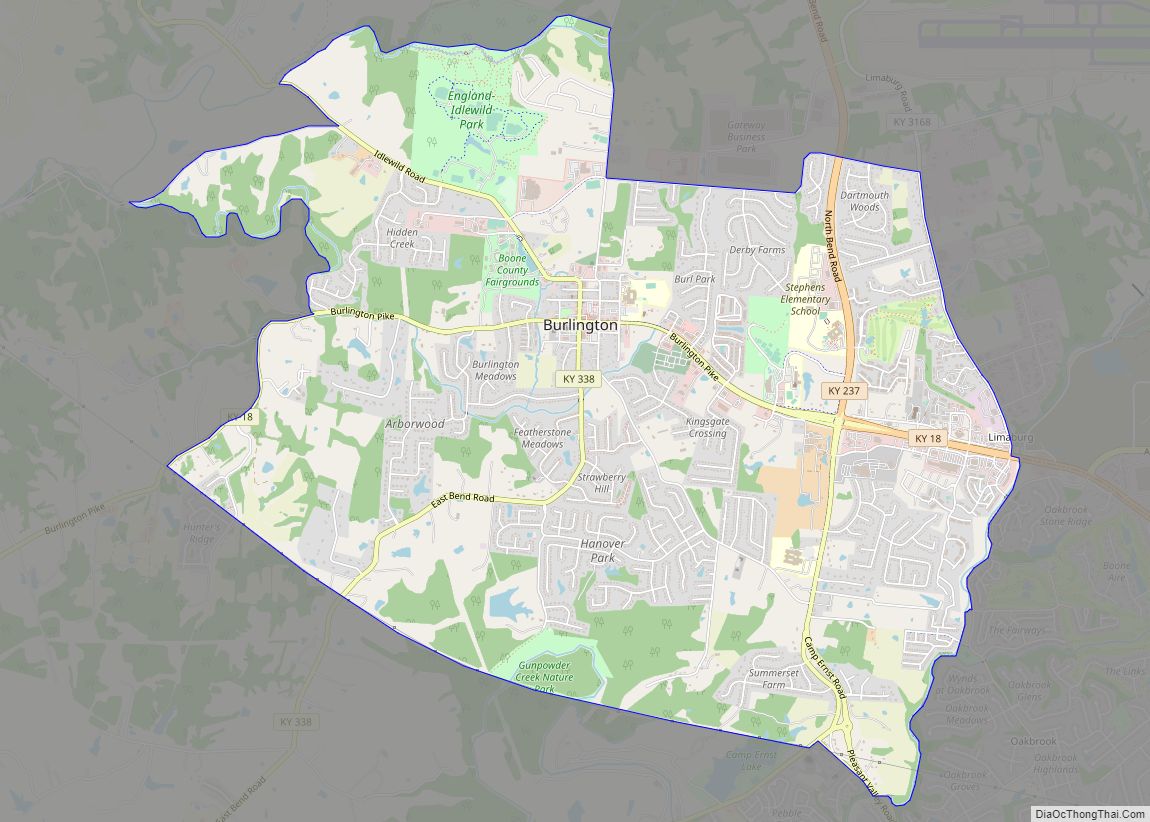
| Seat: | Burlington |
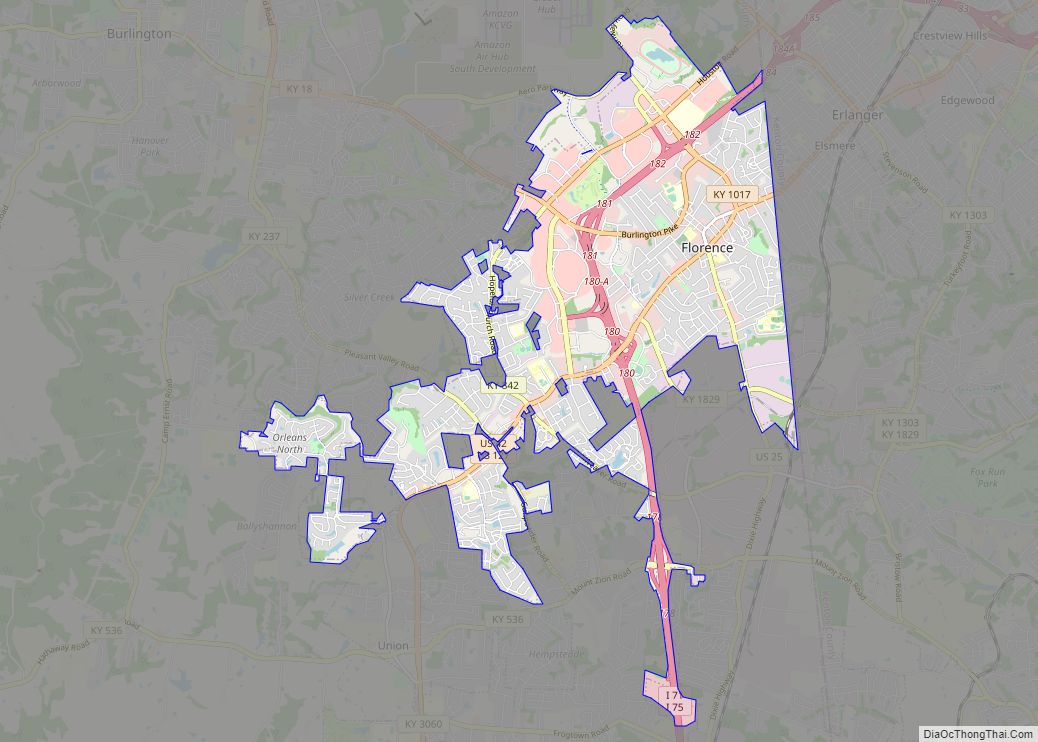
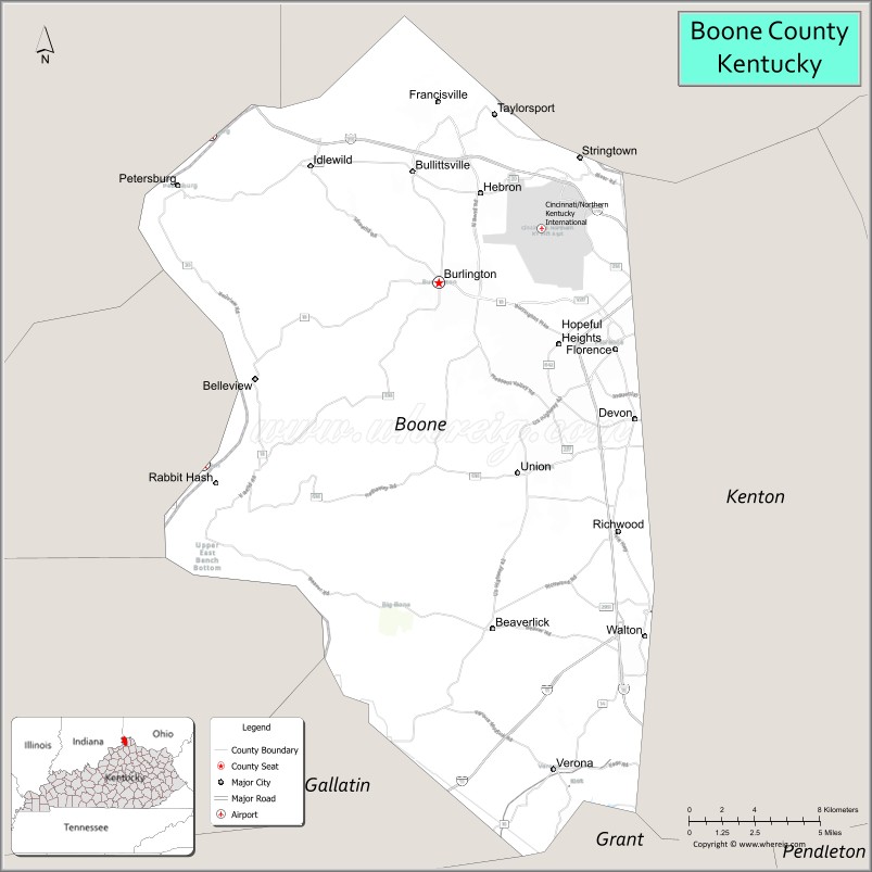
| Largest city: | Florence |
| Total Area: | 256 sq mi (660 km²) |
| Land Area: | 246 sq mi (640 km²) |
| Total Population: | 135,968 |
| Population Density: | 530/sq mi (210/km²) |
| Time zone: | UTC−5 (Eastern) |
| Summer Time Zone (DST): | UTC−4 (EDT) |
| Website: | www.boonecountyky.org |
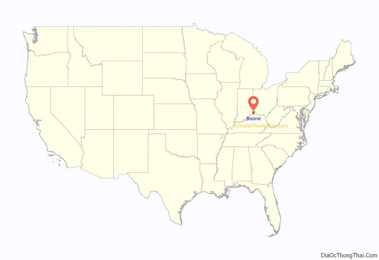
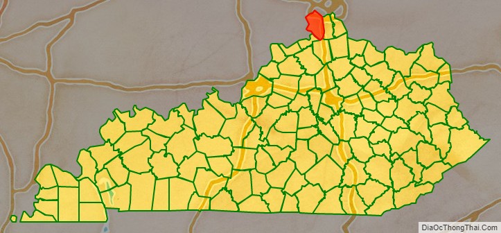
Boone County location map. Where is Boone County?
History
Native Americans had once inhabited a large late historic village in Petersburg that contained “at least two periods of habitation dating to 1150 A.D. and 1400 A.D.”
In 1729 an unknown Frenchman sketched an area on his chart at what is now Big Bone Lick State Park with a note that it was “where they found the bones of an elephant.” Another Frenchman, Charles le Moyne de Longueuil (1687–1755), would later be credited with being the first to investigate the Big Bone Lick area.
In 1789, 10-year-old John Tanner was captured by Ojibwe Indians across from the mouth of the Great Miami River, while his Baptist minister father, brother, and their slaves were planting corn.
Boone County was created in 1798, and named after Daniel Boone.
Margaret Garner
On January 28, 1856, Robert and a pregnant Margaret “Peggy” Garner, together with family members, escaped and fled to Cincinnati, Ohio, along with several other slave families. Seventeen people were reported to have been in their party. In the coldest winter in 60 years, the Ohio River had frozen. The group crossed the ice just west of Covington, Kentucky at daybreak, and escaped to Cincinnati, then divided to avoid detection. They set out for Joseph Kite’s house in Cincinnati.
Margaret Garner would become famous for slitting her own daughter’s throat (Mary) to prevent her from going back into slavery when Archibald K. Gaines and his posse, along with Federal Marshals, caught up to the fleeing slaves at Joseph Kite’s house.
Margaret Garner was first owned by, and may have been the daughter of, the plantation owner John Pollard Gaines himself. In December 1849, the plantation was along with all the slaves to John P. Gaines’ younger brother, Archibald K. Gaines. The Gaines family lived on a farm called Maplewood in Boone County, Kentucky, just west of Richwood Presbyterian Church, of which Archibald K. Gaines was a member. Three of Margaret Garner’s children, including Mary, the daughter whose throat Margaret Garner slashed, were likely the children of Archibald K. Gaines, the only adult white male at Maplewood. The timing suggests they were each conceived after his wife had become pregnant and was unavailable to him.
Margaret Garner’s story was the inspiration for the novel Beloved (1987) by Nobel Prize winner Toni Morrison (that later was adapted into a film of the same name starring Oprah Winfrey), as well as for her libretto for the early 21st century opera Margaret Garner (2005), composed by Richard Danielpour.
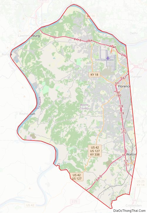
Boone County Road Map
Geography
According to the United States Census Bureau, the county has a total area of 256 square miles (660 km), of which 246 square miles (640 km) is land and 10 square miles (26 km) (3.9%) is water. Its location along the Ohio River was key to its early development, as the river was the major transportation route.
Adjacent counties
- Hamilton County, Ohio (north)
- Kenton County (east)
- Grant County (south)
- Gallatin County (southwest)
- Switzerland County, Indiana (west)
- Ohio County, Indiana (west)
- Dearborn County, Indiana (northwest)
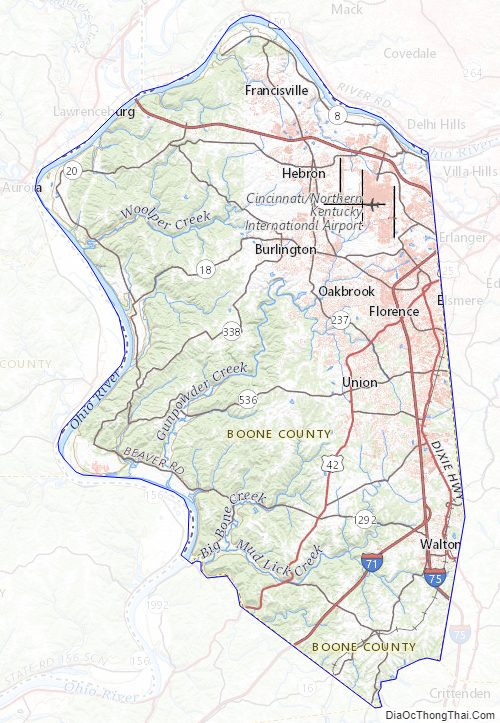
Boone County Topographic Map
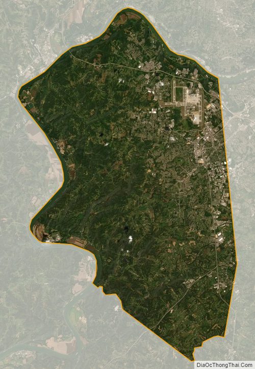
Boone County Satellite Map
Boone County Outline Map