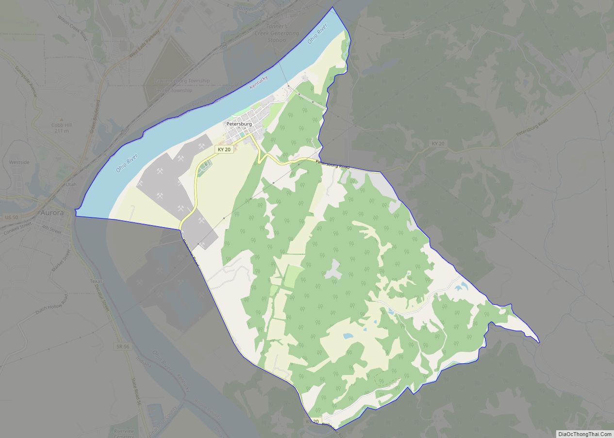
Petersburg is a rural unincorporated community and census-designated place (CDP) in Boone County, Kentucky, United States. As of the 2010 census Petersburg, along with its surrounding areas that use the 41080 zip code, had a population of 620. It is located 25 miles away from Cincinnati, Ohio.
Archaeological evidence reveals an ancient Indian settlement was located at Petersburg town site. The first white settlement at Petersburg was Tanner’s Station, an outpost founded before 1790. Tanner’s station was the first settlement in Boone County, KY. Tanner’s Station was renamed Petersburg in 1814.
The Bullittsburg Baptist Church was founded outside the former hamlets of Utzinger and Gainesville/Idewild, east and north of Petersburg, in 1794.
Petersburg contains the Creation Museum, operated by Answers in Genesis.
| Name: | Petersburg CDP |
|---|---|
| LSAD Code: | 57 |
| LSAD Description: | CDP (suffix) |
| State: | Kentucky |
| County: | Boone County |
| Total Area: | 7.01 sq mi (18.17 km²) |
| Land Area: | 6.28 sq mi (16.26 km²) |
| Water Area: | 0.74 sq mi (1.91 km²) |
| Total Population: | 500 |
| Population Density: | 79.64/sq mi (30.75/km²) |
| ZIP code: | 41080 |
| FIPS code: | 2160312 |
| GNISfeature ID: | 0500480 |
Online Interactive Map
Click on ![]() to view map in "full screen" mode.
to view map in "full screen" mode.
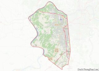
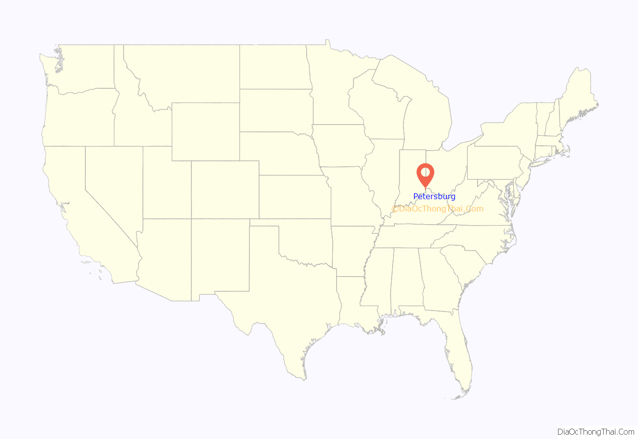
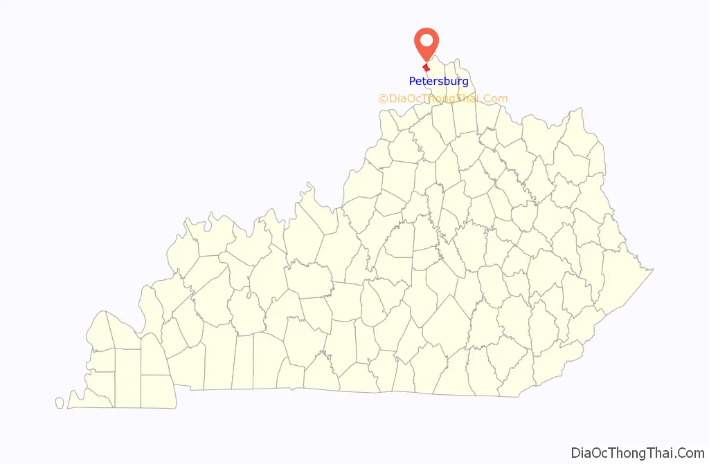
Petersburg location map. Where is Petersburg CDP?
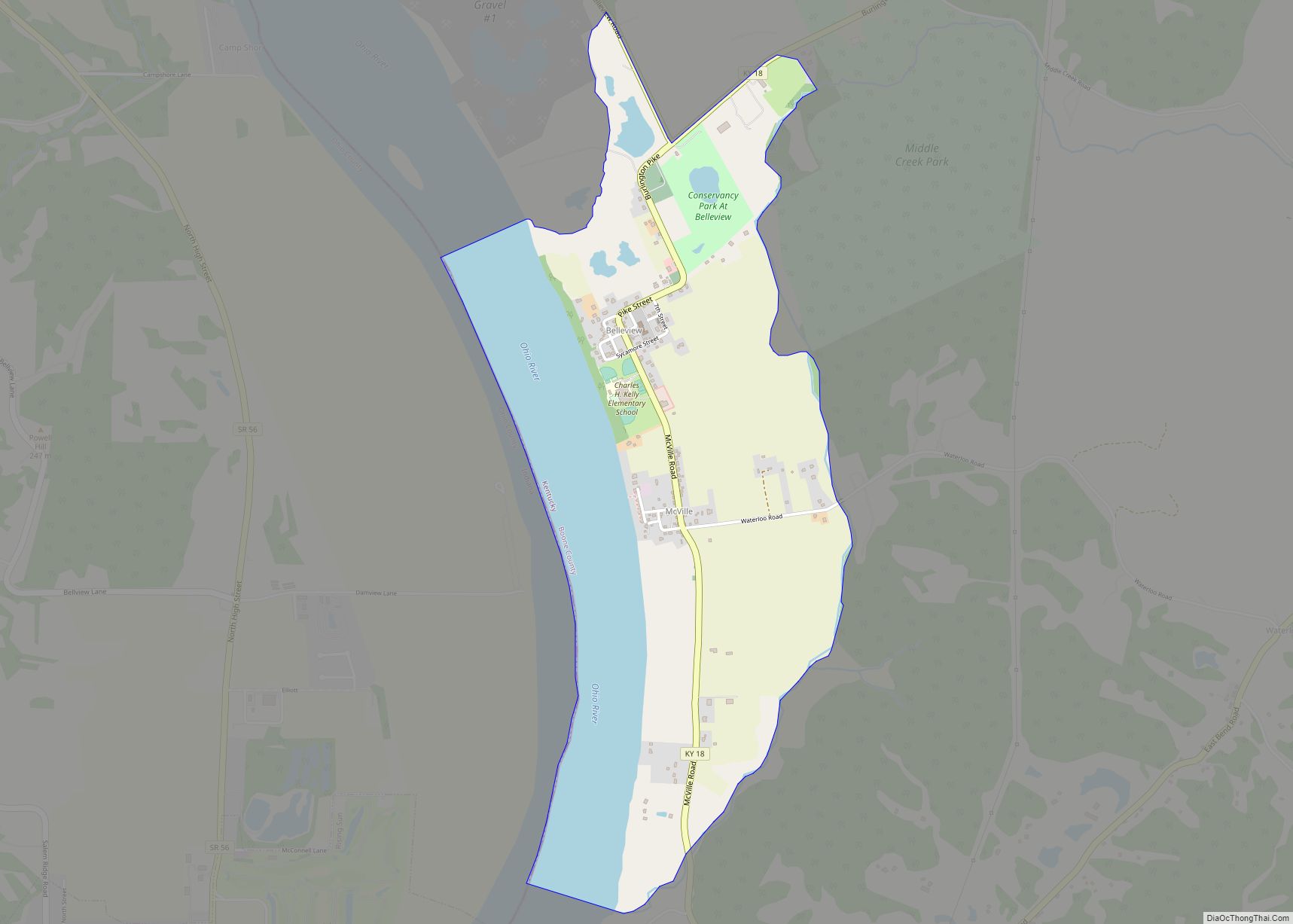
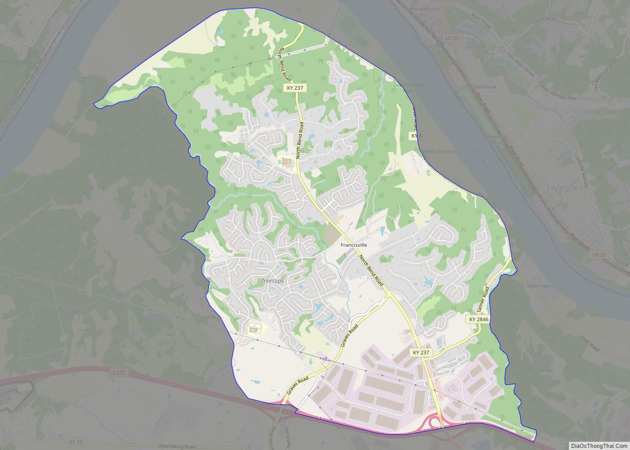
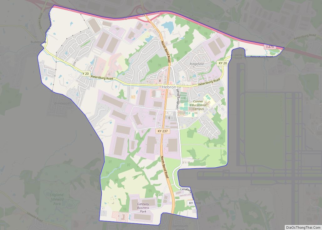
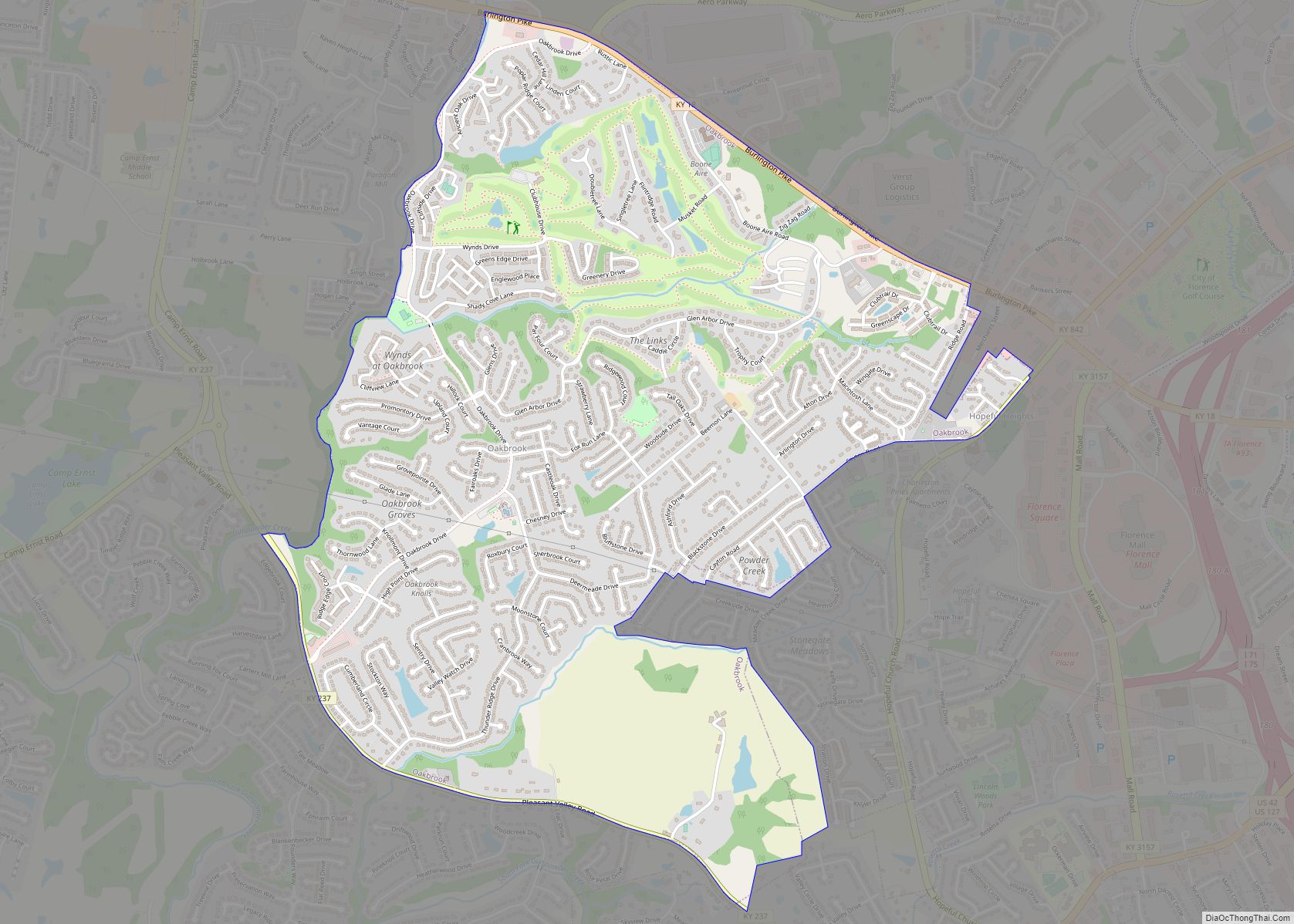
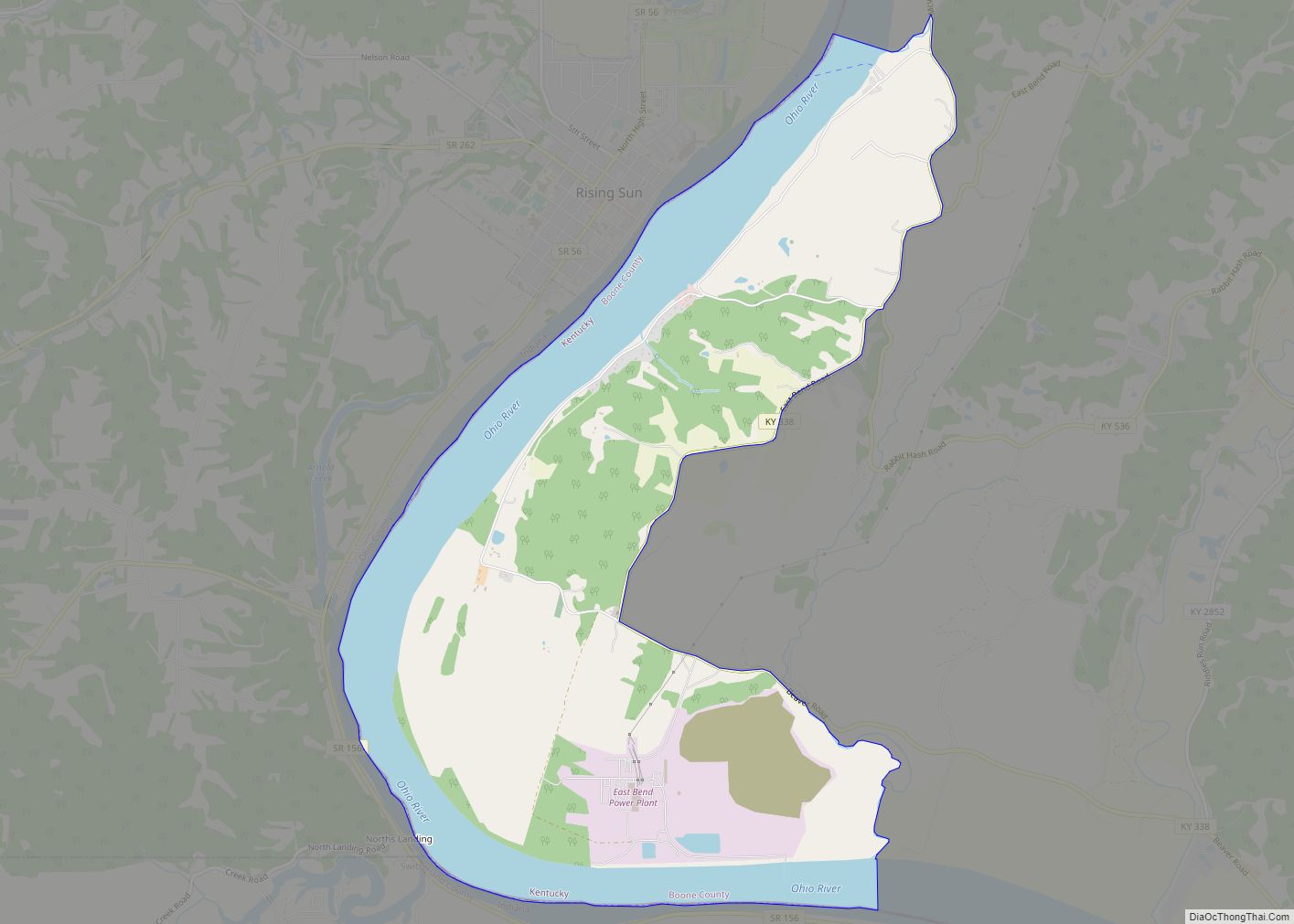
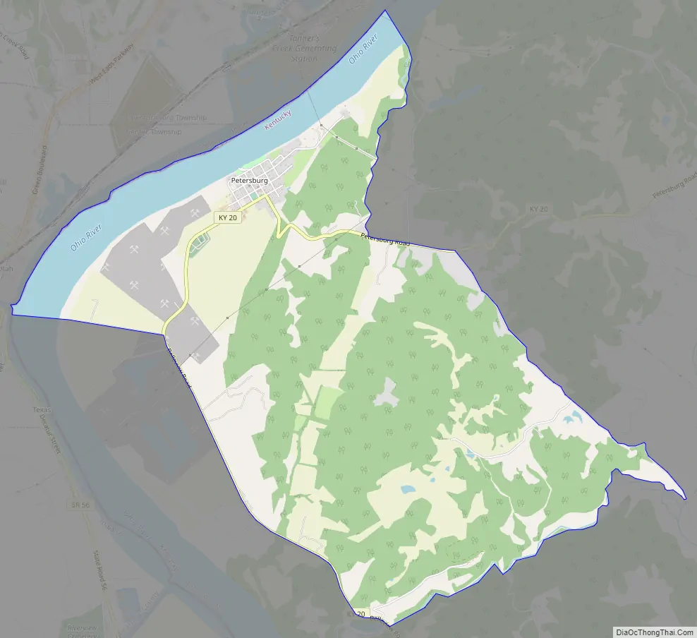
Petersburg Road Map
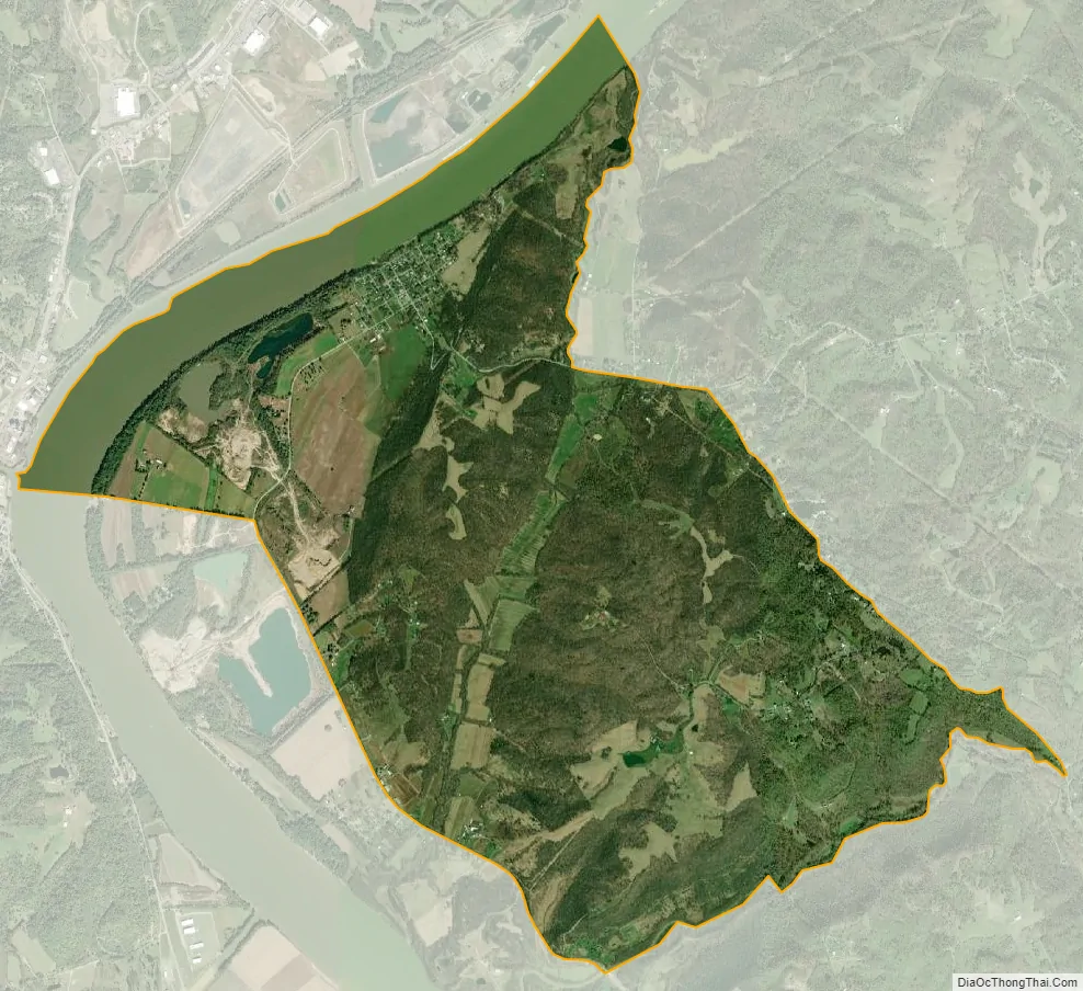
Petersburg city Satellite Map
See also
Map of Kentucky State and its subdivision:- Adair
- Allen
- Anderson
- Ballard
- Barren
- Bath
- Bell
- Boone
- Bourbon
- Boyd
- Boyle
- Bracken
- Breathitt
- Breckinridge
- Bullitt
- Butler
- Caldwell
- Calloway
- Campbell
- Carlisle
- Carroll
- Carter
- Casey
- Christian
- Clark
- Clay
- Clinton
- Crittenden
- Cumberland
- Daviess
- Edmonson
- Elliott
- Estill
- Fayette
- Fleming
- Floyd
- Franklin
- Fulton
- Gallatin
- Garrard
- Grant
- Graves
- Grayson
- Green
- Greenup
- Hancock
- Hardin
- Harlan
- Harrison
- Hart
- Henderson
- Henry
- Hickman
- Hopkins
- Jackson
- Jefferson
- Jessamine
- Johnson
- Kenton
- Knott
- Knox
- Larue
- Laurel
- Lawrence
- Lee
- Leslie
- Letcher
- Lewis
- Lincoln
- Livingston
- Logan
- Lyon
- Madison
- Magoffin
- Marion
- Marshall
- Martin
- Mason
- McCracken
- McCreary
- McLean
- Meade
- Menifee
- Mercer
- Metcalfe
- Monroe
- Montgomery
- Morgan
- Muhlenberg
- Nelson
- Nicholas
- Ohio
- Oldham
- Owen
- Owsley
- Pendleton
- Perry
- Pike
- Powell
- Pulaski
- Robertson
- Rockcastle
- Rowan
- Russell
- Scott
- Shelby
- Simpson
- Spencer
- Taylor
- Todd
- Trigg
- Trimble
- Union
- Warren
- Washington
- Wayne
- Webster
- Whitley
- Wolfe
- Woodford
- Alabama
- Alaska
- Arizona
- Arkansas
- California
- Colorado
- Connecticut
- Delaware
- District of Columbia
- Florida
- Georgia
- Hawaii
- Idaho
- Illinois
- Indiana
- Iowa
- Kansas
- Kentucky
- Louisiana
- Maine
- Maryland
- Massachusetts
- Michigan
- Minnesota
- Mississippi
- Missouri
- Montana
- Nebraska
- Nevada
- New Hampshire
- New Jersey
- New Mexico
- New York
- North Carolina
- North Dakota
- Ohio
- Oklahoma
- Oregon
- Pennsylvania
- Rhode Island
- South Carolina
- South Dakota
- Tennessee
- Texas
- Utah
- Vermont
- Virginia
- Washington
- West Virginia
- Wisconsin
- Wyoming