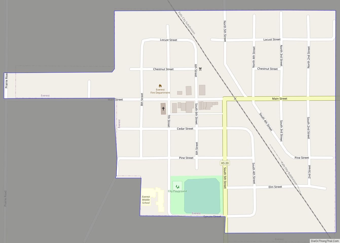
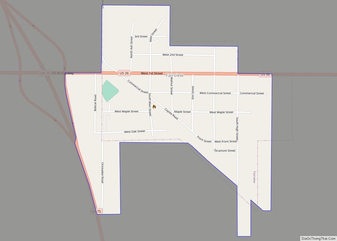
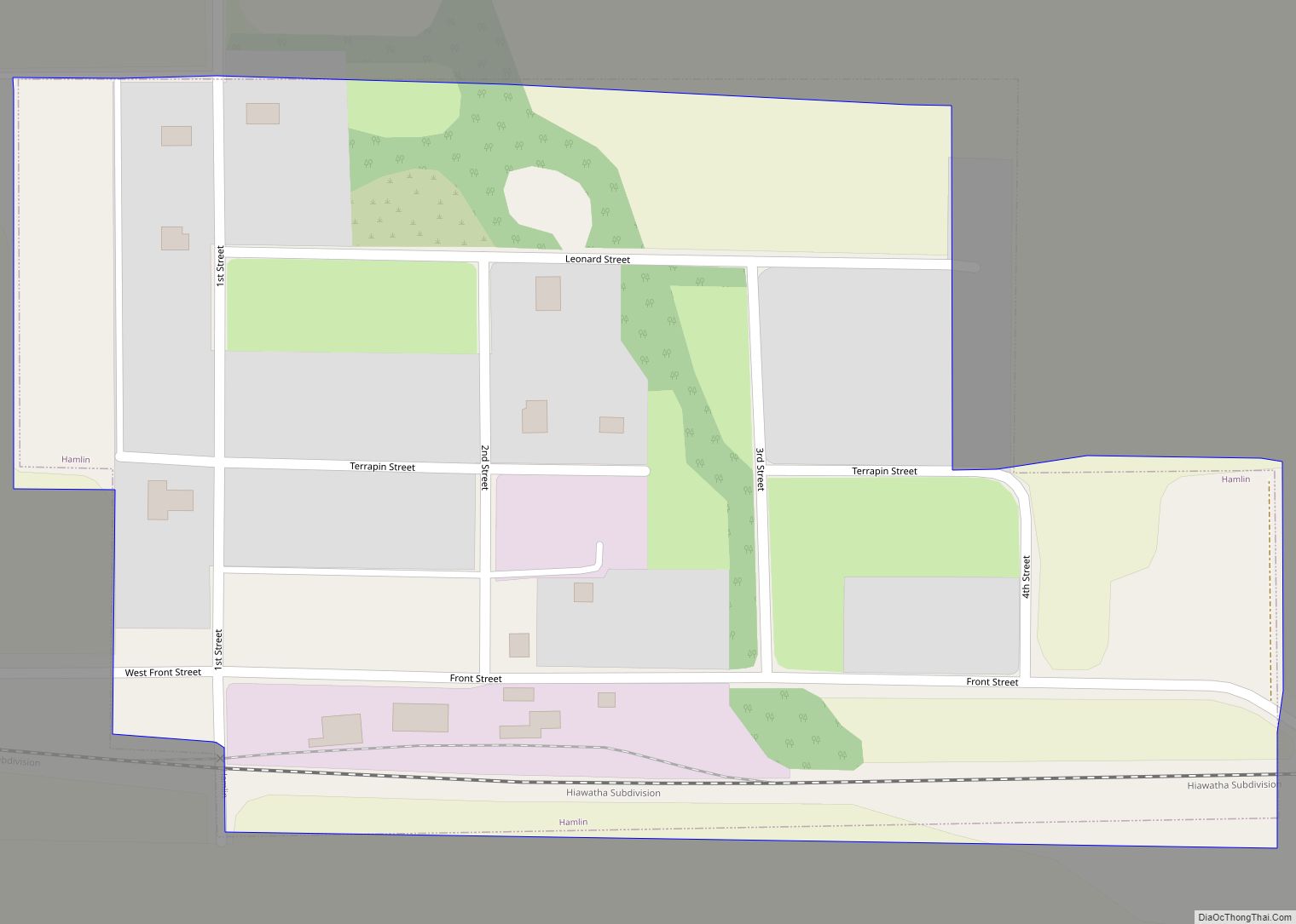
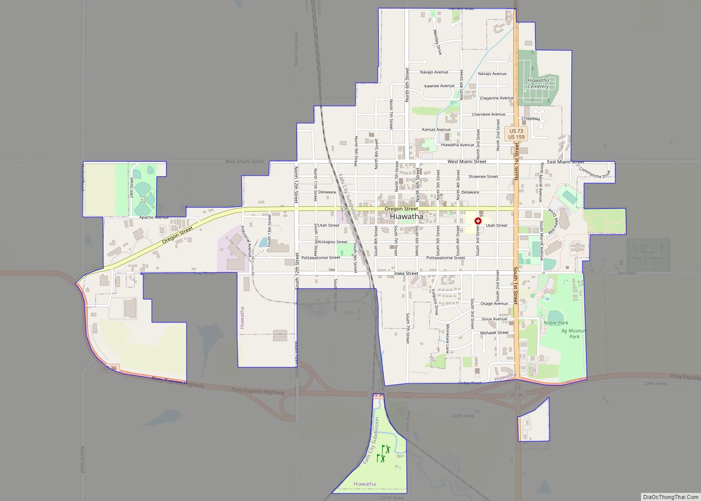
Brown County (county code BR) is a county located in the northeast portion of the U.S. state of Kansas. As of the 2020 census, the county population was 9,508. Its county seat and most populous city is Hiawatha. Brown County is the location of the Kickapoo Indian Reservation of Kansas, the majority of the Sac and Fox Reservation and the majority of the Iowa Reservation of Kansas and Nebraska.
| Name: | Brown County |
|---|---|
| FIPS code: | 20-013 |
| State: | Kansas |
| Founded: | August 25, 1855 |
| Named for: | Albert Gallatin Brown |
| Seat: | Hiawatha |
| Largest city: | Hiawatha |
| Total Area: | 572 sq mi (1,480 km²) |
| Land Area: | 571 sq mi (1,480 km²) |
| Total Population: | 9,508 |
| Population Density: | 16.7/sq mi (6.4/km²) |
| Time zone: | UTC−6 (Central) |
| Summer Time Zone (DST): | UTC−5 (CDT) |
| Website: | brcoks.org |
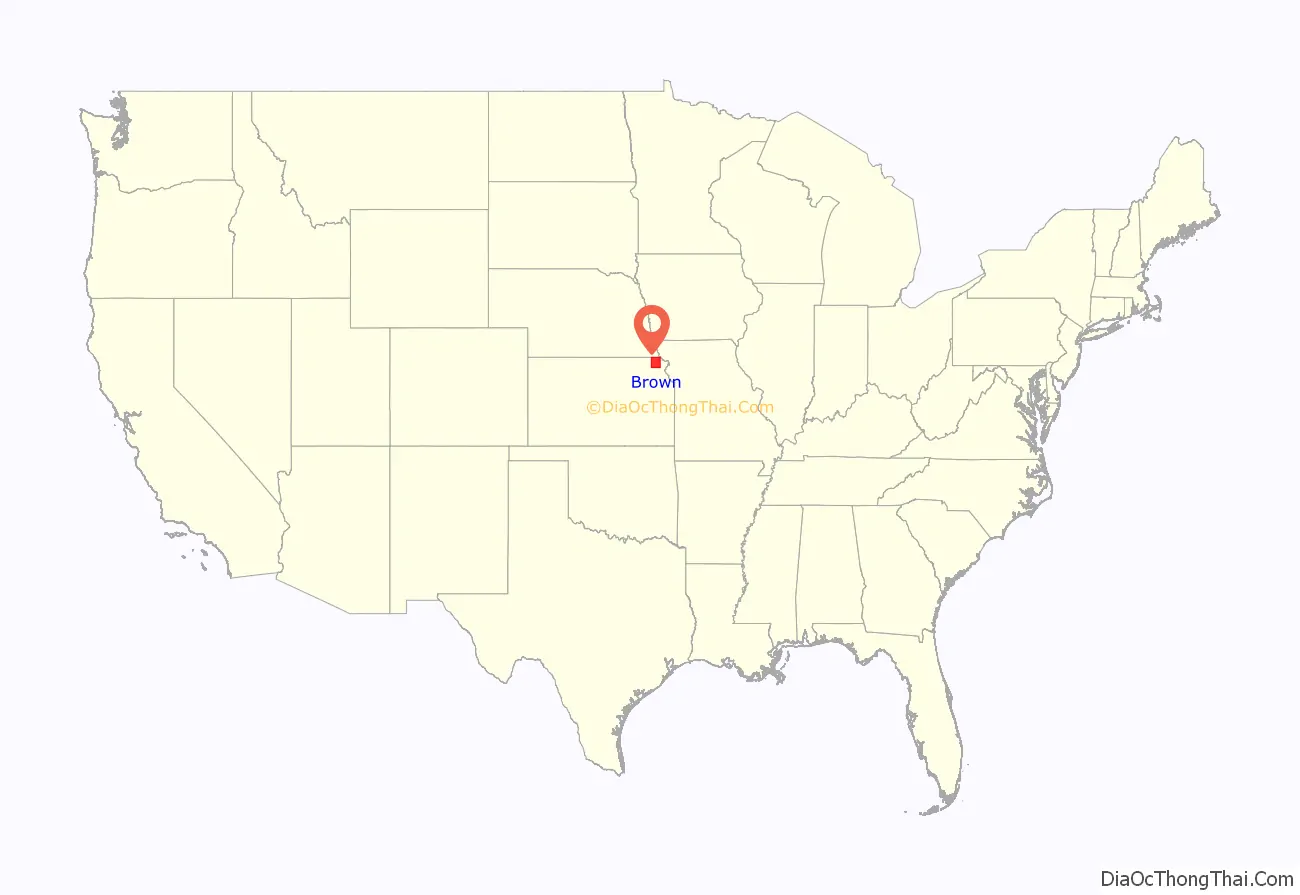
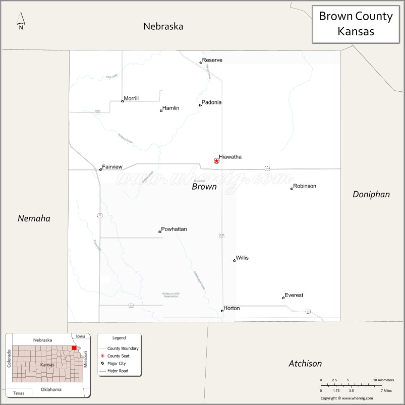
Brown County location map. Where is Brown County?
History
Early history
For many millennia, the Great Plains of North America was inhabited by nomadic Native Americans. From the 16th century to 18th century, the Kingdom of France claimed ownership of large parts of North America. In 1762, after the French and Indian War, France secretly ceded New France to Spain, per the Treaty of Fontainebleau.
19th century
In 1802, Spain returned most of the land to France, but keeping title to about 7,500 square miles. In 1803, most of the land for modern day Kansas was acquired by the United States from France as part of the 828,000 square mile Louisiana Purchase for 2.83 cents per acre.
In 1854, the Kansas Territory was organized, then in 1861 Kansas became the 34th U.S. state. Brown County was founded in 1855, was named for Albert G. Brown.
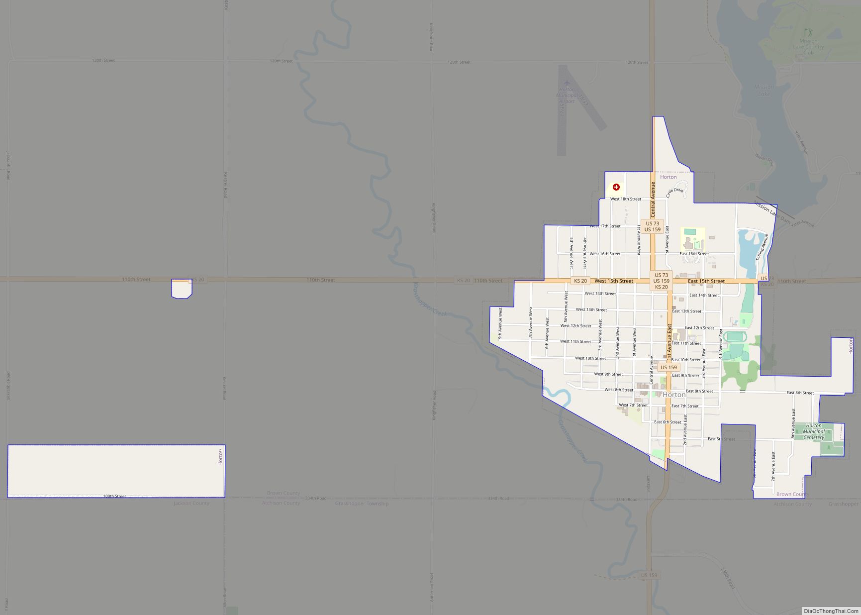
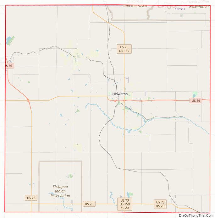
Brown County Road Map
Geography
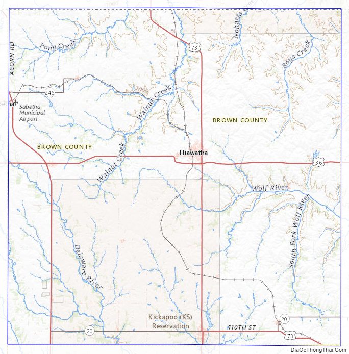
According to the U.S. Census Bureau, the county has a total area of 572 square miles (1,480 km), of which 571 square miles (1,480 km) is land and 1.2 square miles (3.1 km) (0.2%) is water. The Wolf River has its source in the county. Brown State Fishing Lake, formerly known as “Brown County State Park” is in the county, 8 miles (13 km) east of Hiawatha.
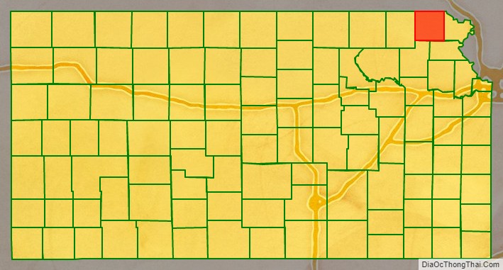
Adjacent counties
- Richardson County, Nebraska (north)
- Doniphan County (east)
- Atchison County (southeast)
- Jackson County (southwest)
- Nemaha County (west)
Major highways
Sources: National Atlas, U.S. Census Bureau
- U.S. Route 36
- U.S. Route 73
- U.S. Route 75
- U.S. Route 159
- Kansas Highway 20
- Kansas Highway 246
Brown County Topographic Map
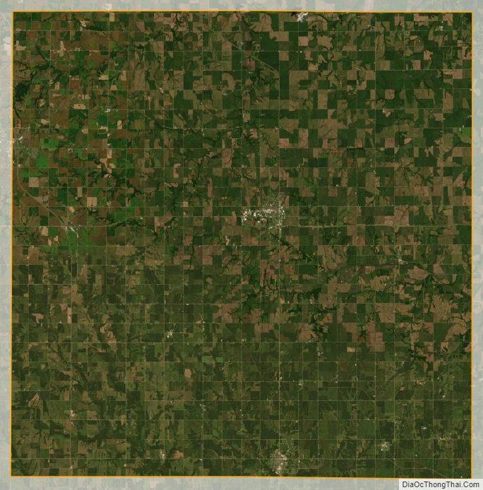
Brown County Satellite Map
Brown County Outline Map