Caroline County is a rural county located in the U.S. state of Maryland on its Eastern Shore. As of the 2020 census, the population was 33,293. Its county seat is Denton.
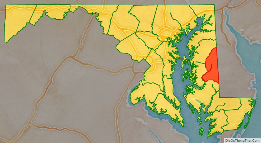
Caroline County is bordered by Queen Anne’s County to the north, Talbot County to the west, Dorchester County to the south, Kent County, Delaware, to the east, and Sussex County, Delaware, to the southeast.
| Name: | Caroline County |
|---|---|
| FIPS code: | 24-011 |
| State: | Maryland |
| Founded: | 1774 |
| Named for: | Caroline Eden |
| Seat: | Denton |
| Largest town: | Denton |
| Total Area: | 326 sq mi (840 km²) |
| Land Area: | 319 sq mi (830 km²) |
| Total Population: | 33,293 |
| Population Density: | 100/sq mi (39/km²) |
| Time zone: | UTC−5 (Eastern) |
| Summer Time Zone (DST): | UTC−4 (EDT) |
| Website: | www.carolinemd.org |
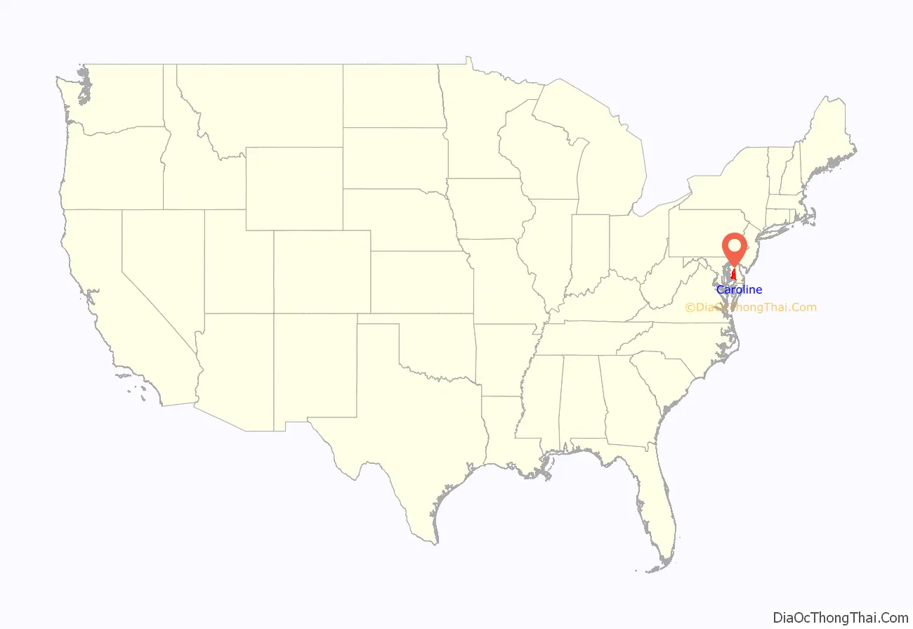
Caroline County location map. Where is Caroline County?
History
Caroline County was created via 1773 Maryland General Assembly legislation from parts of Dorchester and Queen Anne’s counties. The county derives its name from Lady Caroline Eden, wife of Maryland’s last colonial governor, Robert Eden. Seven commissioners were originally appointed: Charles Dickinson, Benson Stainton, Thomas White, William Haskins, Richard Mason, Joshua Clark, and Nathaniel Potter. These men bought 4 acres (1.6 ha) of land at Pig Point (now Denton) on which to build a courthouse and jail.
Until the completion of these buildings, court was held at Melvill’s Warehouse, approximately 1.5 miles (2.4 km) north of Pig Point. Elections and other business transactions were completed there. The first commissioner meeting was held on March 15, 1774, at Melvill’s Warehouse. In 1777, court was moved to Bridgetown (now Greensboro), but in the interest of convenience, court was moved back to Melvill’s.
Disagreements arose concerning the permanent location of the county seat. The General Assembly reached a compromise in 1785 and ordered that 2 acres (0.81 ha) of land at Melvill’s Landing should be purchased for a courthouse and jail. In 1790, the county court and its belongings moved to Pig Point. The Caroline County Courthouse was completed in 1797.
The county has a number of properties on the National Register of Historic Places. The National Park Service is developing a site in the southern half of Caroline County dedicated to interpreting the Underground Railroad as part of the Harriet Tubman Underground Railroad National Monument.
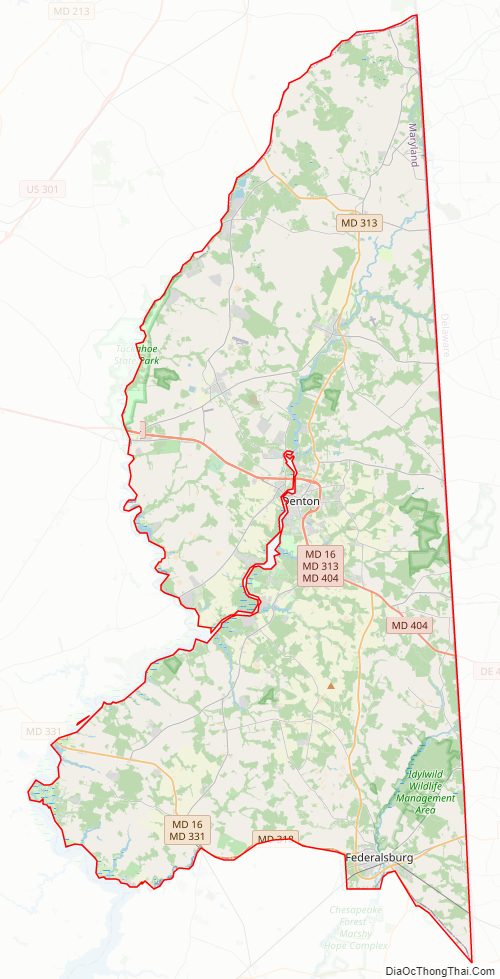
Caroline County Road Map
Geography
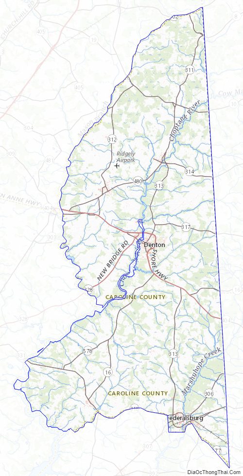
According to the U.S. Census Bureau, the county has a total area of 326 square miles (840 km), of which 319 square miles (830 km) is land and 6.5 square miles (17 km) (2.0%) is water. It is the second-smallest county by total area in Maryland. Notable waterways include the Choptank River and Tuckahoe Creek, as well as the man-made Williston Lake.
Caroline County currently ranks seventh nationally in terms of land protected under the Ag Preservation Program.
Its eastern border is the Mason–Dixon line.
Caroline is the only Eastern Shore county not to touch either the Chesapeake Bay or Atlantic Ocean. Additionally, it is the only county on the Eastern Shore without an Interstate or United States Highway within its borders.
Tuckahoe State Park, Holiday Park Campgrounds and Martinak State Park are located in Caroline County.
The American Discovery Trail runs through the county.
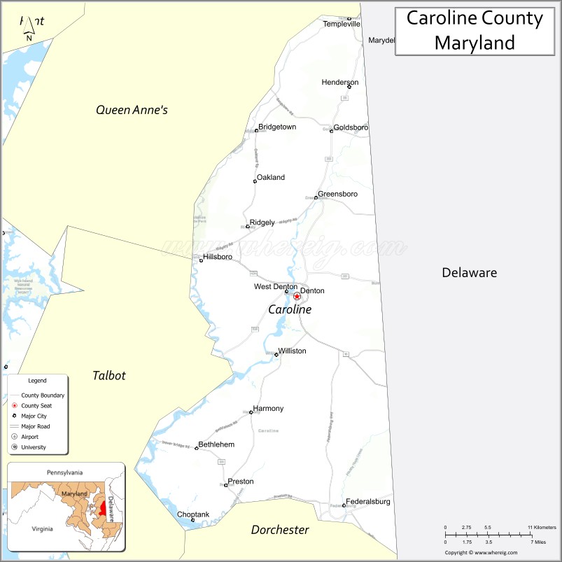
Adjacent counties
- Kent County, Delaware (northeast)
- Sussex County, Delaware (southeast)
- Dorchester County (south)
- Talbot County (west)
- Queen Anne’s County (northwest)
Caroline County Topographic Map
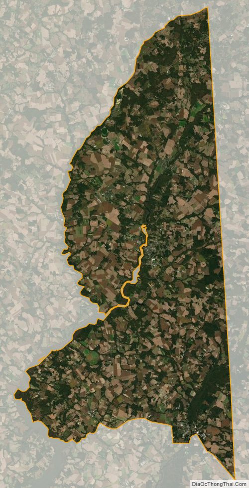
Caroline County Satellite Map
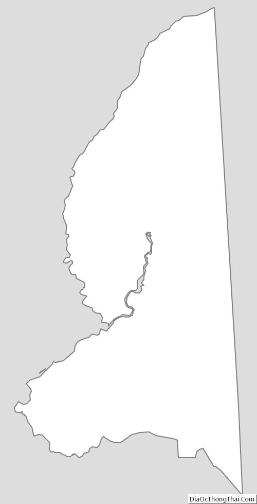
Caroline County Outline Map