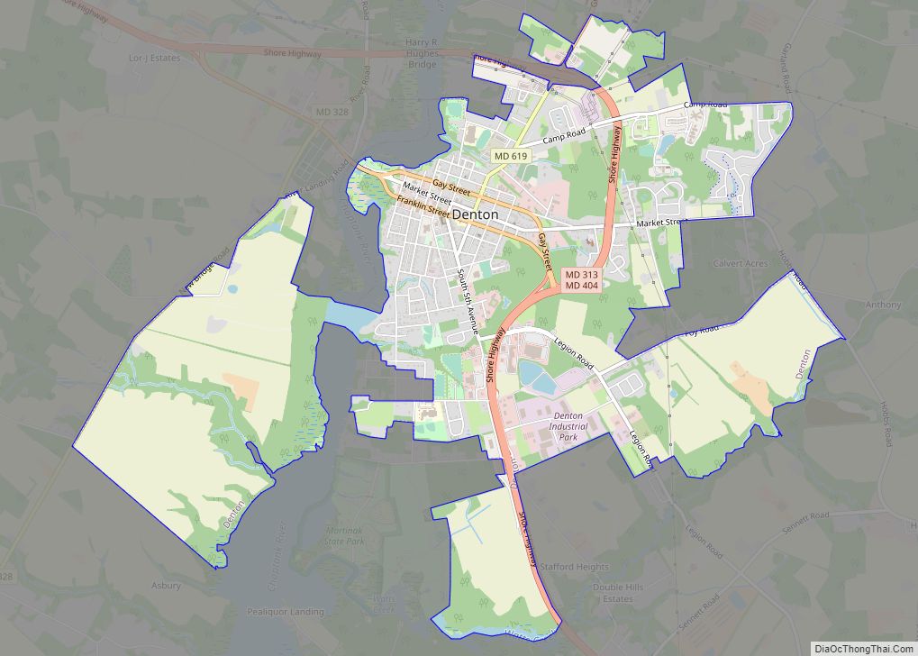
Denton is a town in Caroline County, Maryland, United States. The population of Denton was 4,418 as of the 2010 United States Census, and it is the county seat of Caroline County.
| Name: | Denton town |
|---|---|
| LSAD Code: | 43 |
| LSAD Description: | town (suffix) |
| State: | Maryland |
| County: | Caroline County |
| Founded: | 1781 |
| Incorporated: | 1802 |
| Elevation: | 43 ft (13 m) |
| Total Area: | 5.35 sq mi (13.86 km²) |
| Land Area: | 5.27 sq mi (13.64 km²) |
| Water Area: | 0.09 sq mi (0.22 km²) |
| Total Population: | 4,848 |
| Population Density: | 920.45/sq mi (355.35/km²) |
| ZIP code: | 21629 |
| Area code: | 410 |
| FIPS code: | 2422725 |
| GNISfeature ID: | 0590087 |
| Website: | www.DentonMaryland.com |
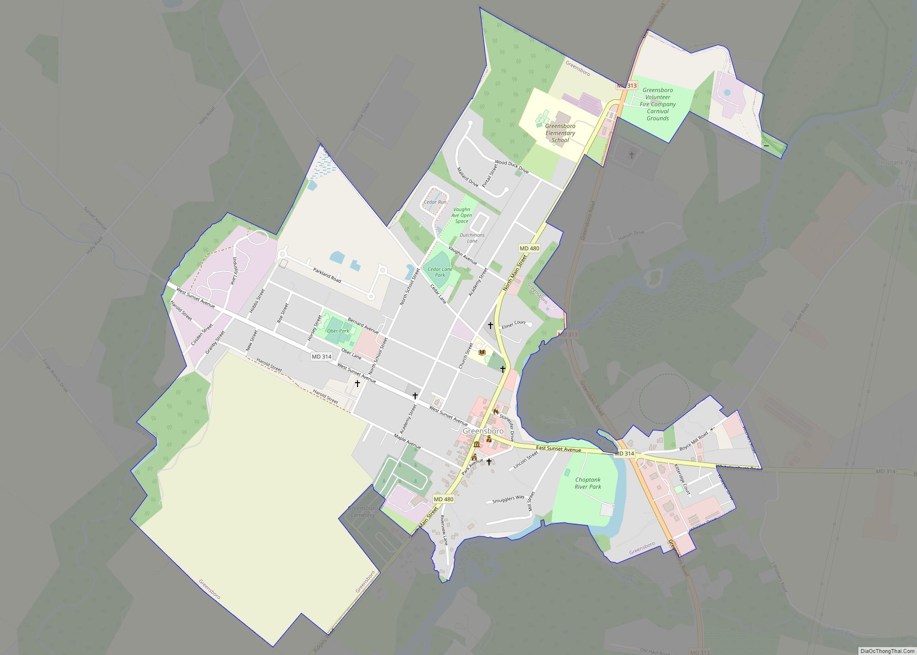
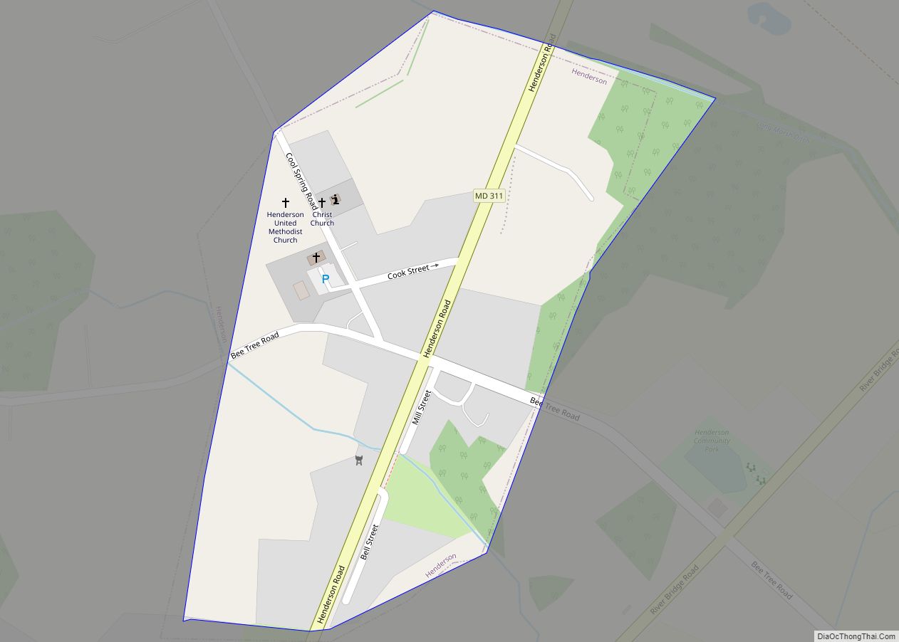
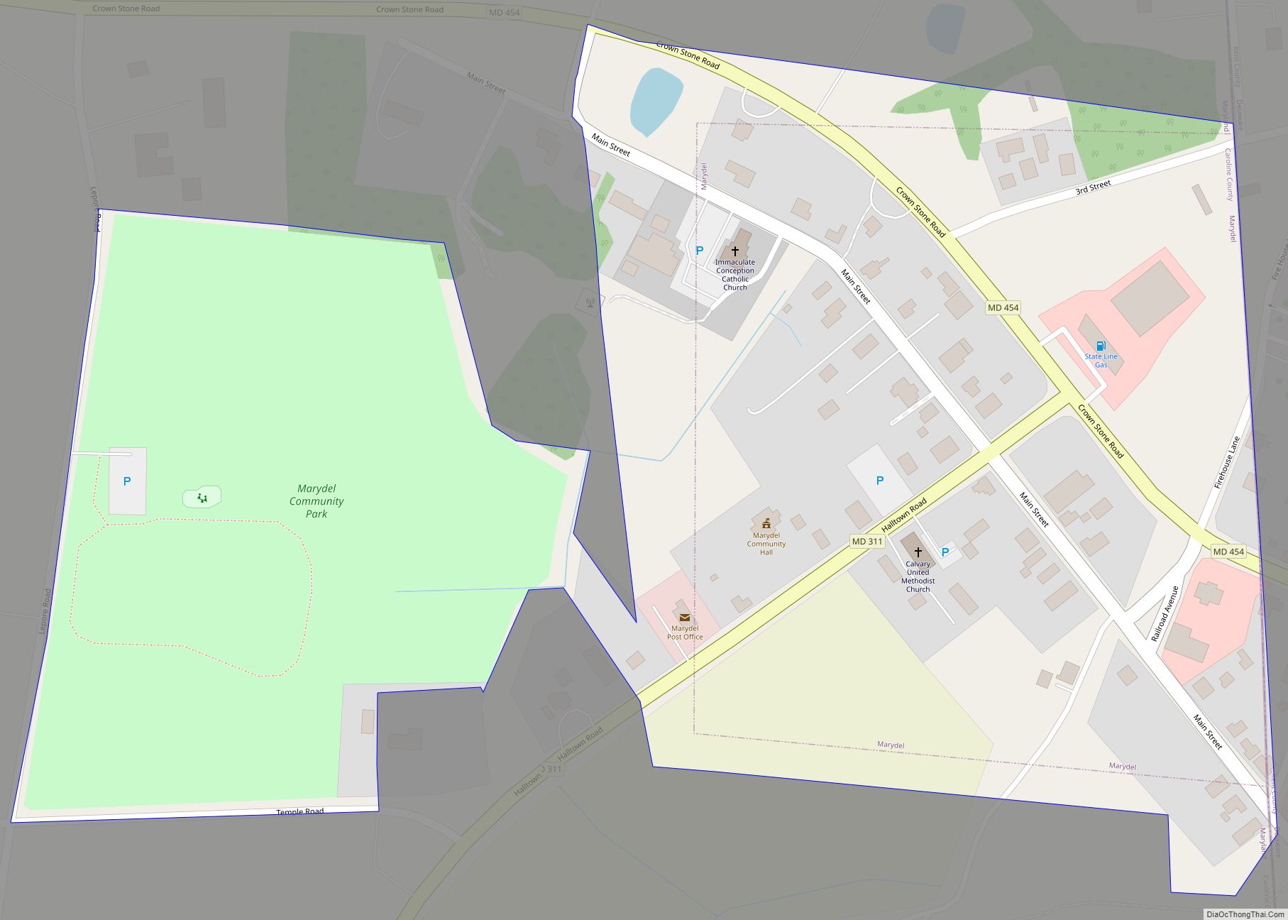
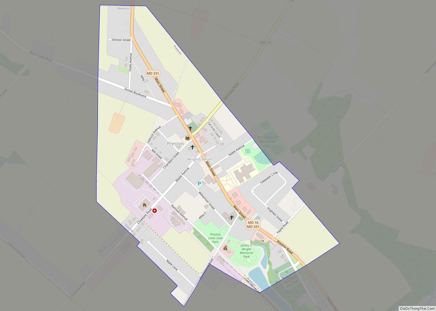
Online Interactive Map
Click on ![]() to view map in "full screen" mode.
to view map in "full screen" mode.
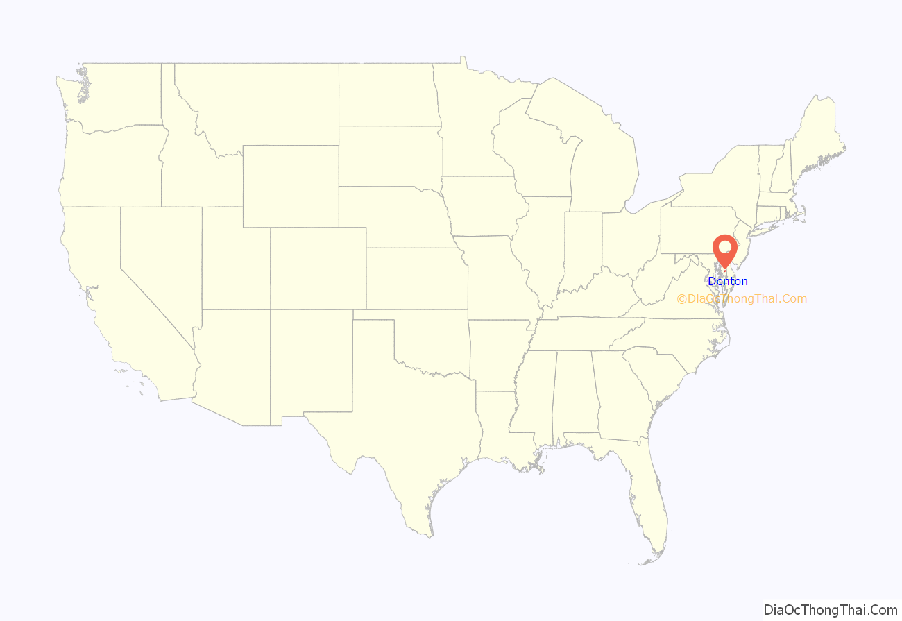
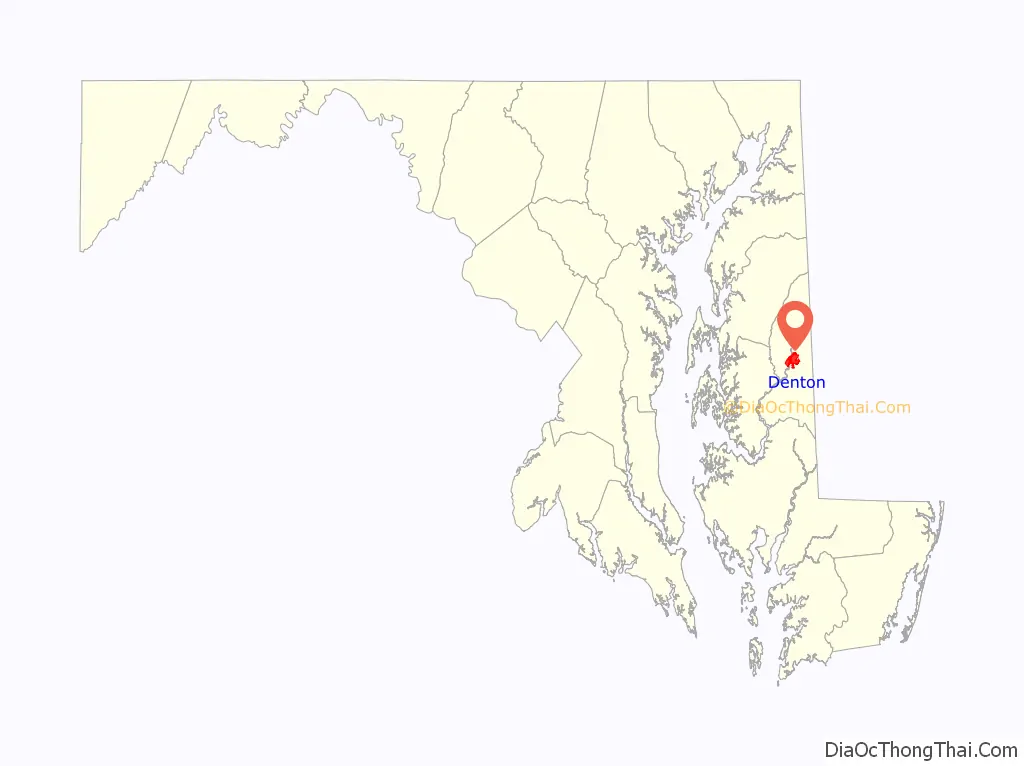
Denton location map. Where is Denton town?
History
Denton was established in 1781. It was first called Eden Town, for Sir Robert Eden, the last royal governor of Maryland, and over time Eden Town was shortened to Denton. The town was incorporated in 1802.
The town benefited from trade shipped along the adjacent Choptank river. Shipyards along the river serviced smaller sail and steamships plying their trade on the river, with most traffic flowing down to the larger town of Cambridge. The Choptank was deep enough to pose a formidable barrier to enslaved people fleeing north to freedom. Irish-American abolitionist Hugh Hazlett and a group of escaped slaves were detained near the town in 1858, with a plaque commemorating the event.
The steamship trade began in 1840s and ended in the 1920s. Steamships carried passengers and goods from Denton to Cambridge and other communities on the Chesapeake.
The Museum of Rural Life interprets the ag-based heritage of the town and surrounding area. A historic steamboat pier is preserved in the town.
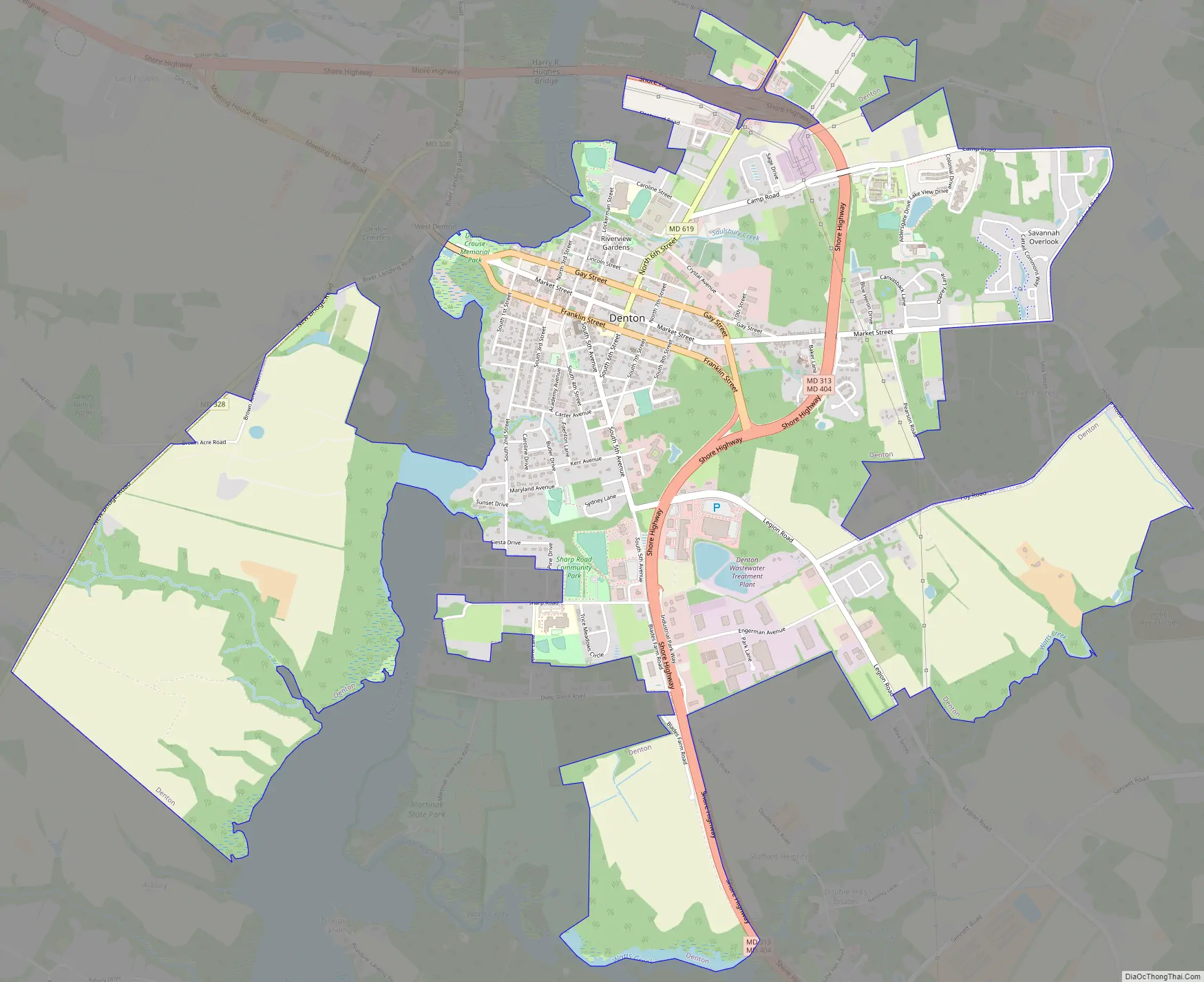
Denton Road Map
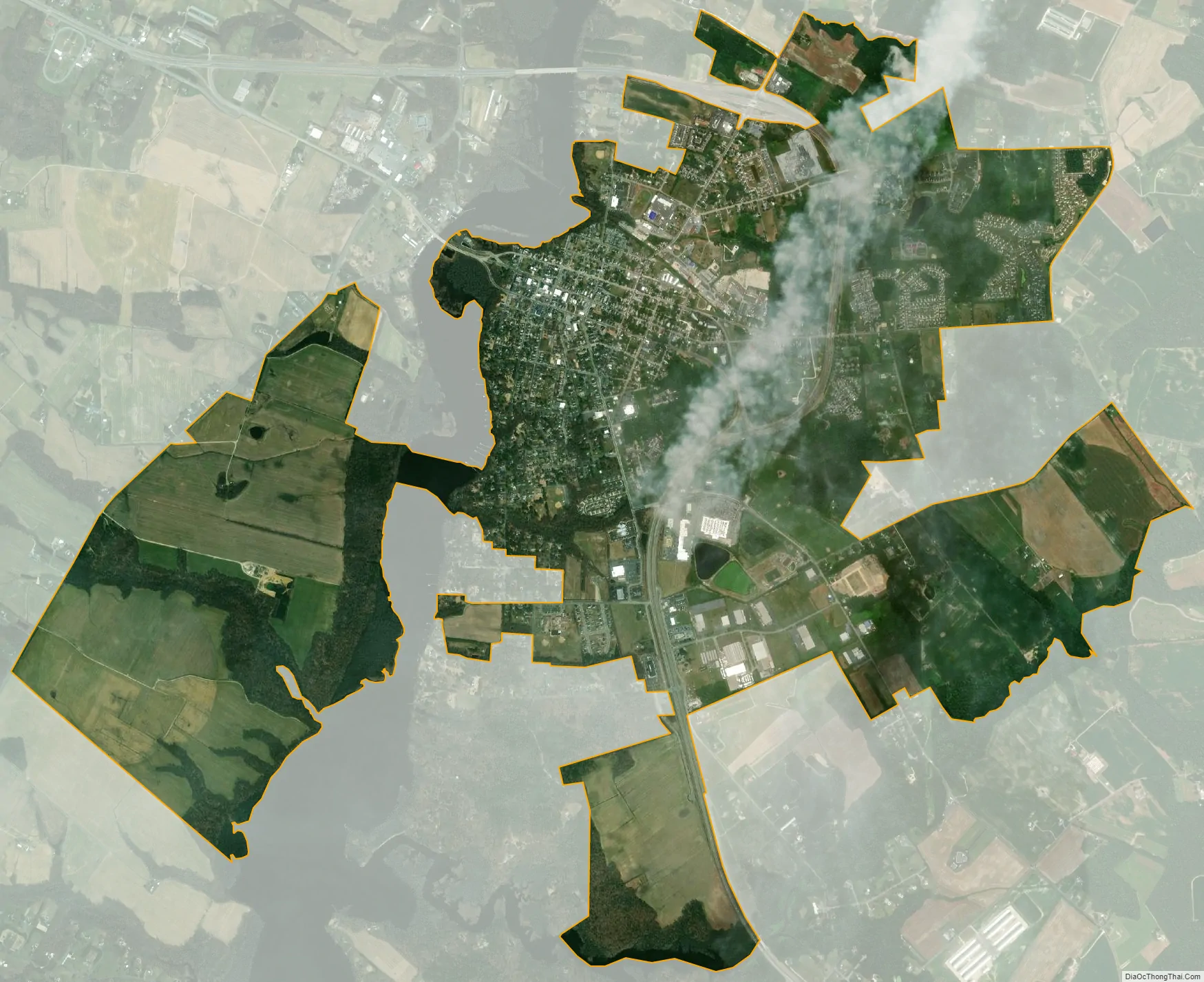
Denton city Satellite Map
Geography
Denton is located at 38°53′2″N 75°49′36″W / 38.88389°N 75.82667°W / 38.88389; -75.82667 (38.883853, -75.826556).
According to the United States Census Bureau, the town has a total area of 5.50 square miles (14.24 km), of which 5.28 square miles (13.68 km) is land and 0.22 square miles (0.57 km) is water.
Climate
The climate in this area is characterized by hot, humid summers and generally mild to cool winters. According to the Köppen Climate Classification system, Denton has a humid subtropical climate, abbreviated “Cfa” on climate maps.
See also
Map of Maryland State and its subdivision: Map of other states:- Alabama
- Alaska
- Arizona
- Arkansas
- California
- Colorado
- Connecticut
- Delaware
- District of Columbia
- Florida
- Georgia
- Hawaii
- Idaho
- Illinois
- Indiana
- Iowa
- Kansas
- Kentucky
- Louisiana
- Maine
- Maryland
- Massachusetts
- Michigan
- Minnesota
- Mississippi
- Missouri
- Montana
- Nebraska
- Nevada
- New Hampshire
- New Jersey
- New Mexico
- New York
- North Carolina
- North Dakota
- Ohio
- Oklahoma
- Oregon
- Pennsylvania
- Rhode Island
- South Carolina
- South Dakota
- Tennessee
- Texas
- Utah
- Vermont
- Virginia
- Washington
- West Virginia
- Wisconsin
- Wyoming