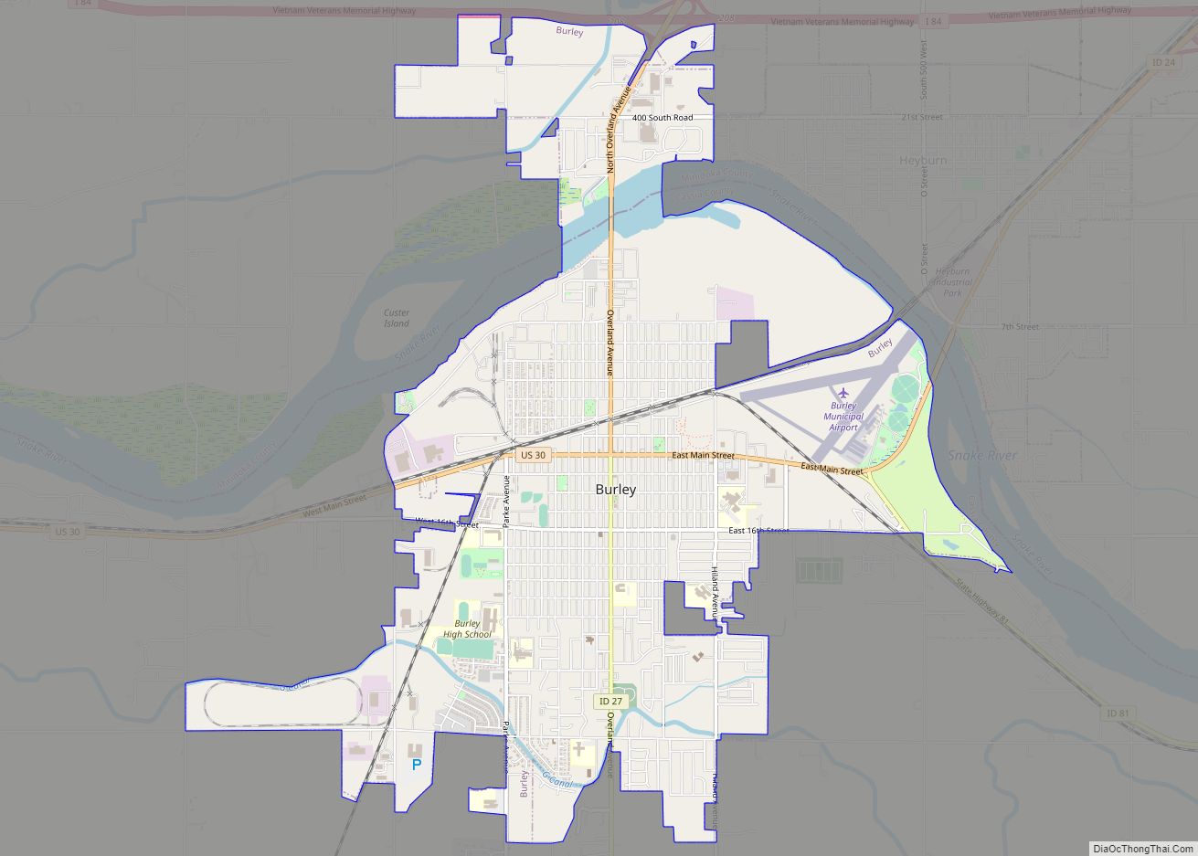
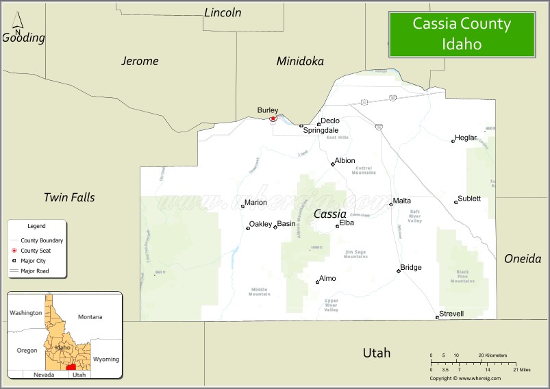
Cassia County is a county in the U.S. state of Idaho. As of the 2020 Census the county had a population of 24,655. The county seat and largest city is Burley. Cassia County is included in the Burley, ID Micropolitan Statistical Area.
| Name: | Cassia County |
|---|---|
| FIPS code: | 16-031 |
| State: | Idaho |
| Founded: | February 20, 1879 |
| Named for: | Cassia Creek |
| Seat: | Burley |
| Largest city: | Burley |
| Total Area: | 2,580 sq mi (6,700 km²) |
| Land Area: | 2,565 sq mi (6,640 km²) |
| Total Population: | 24,655 |
| Population Density: | 9.6/sq mi (3.7/km²) |
| Time zone: | UTC−7 (Mountain) |
| Summer Time Zone (DST): | UTC−6 (MDT) |
| Website: | www.cassiacounty.org |
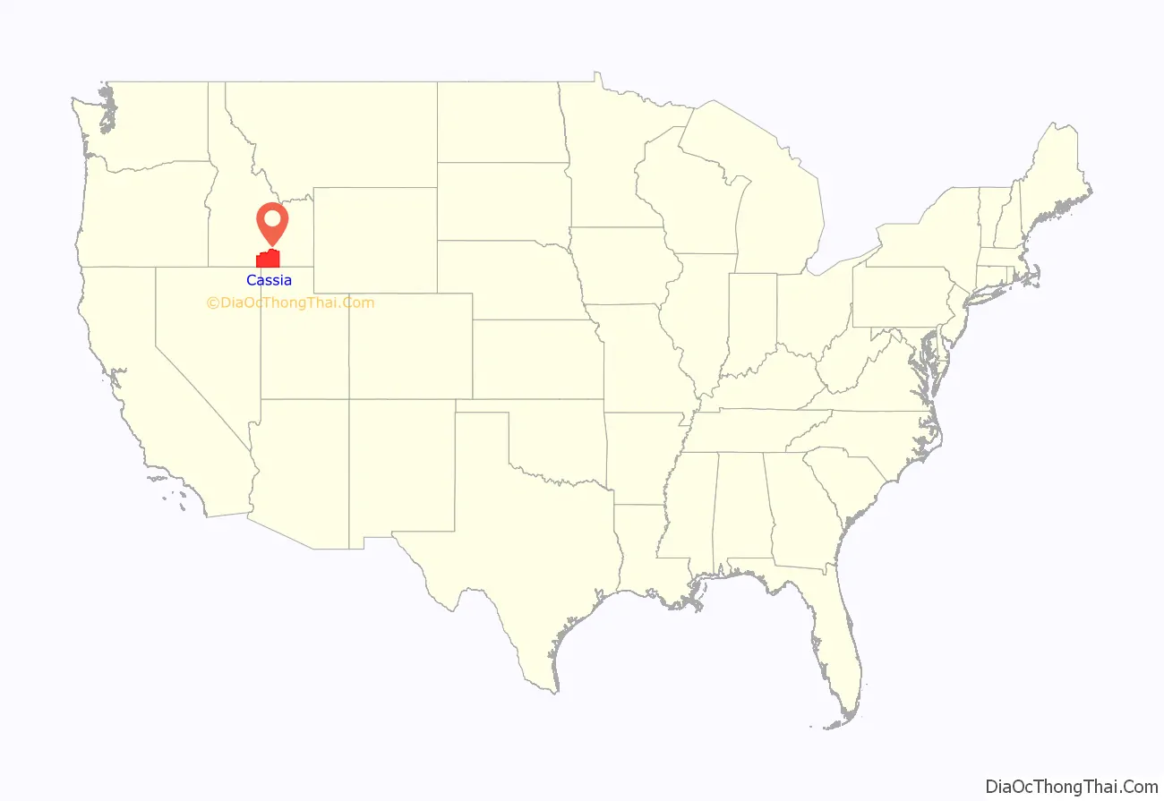
Cassia County location map. Where is Cassia County?
History
The first Europeans explored the Milner area in Cassia County in 1811. It was trappers who initially developed the Oregon Trail, which ran on the county’s northern border. The Raft River’s junction with the Oregon Trail marked the split for the California Trail.
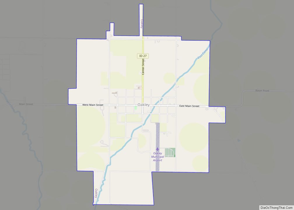
While the Oregon and California trails brought hundreds of thousands of emigrants through Cassia County, it also brought settlers. A stage line through the county was established between Kelton, Utah and Boise, Idaho in 1869. A stage station existed at City of Rocks. Additional stations were spaced at increments of 10–12 miles between stations to include one at Oakley Meadows, in the Goose Creek valley two miles west of the present settlement of Oakley.
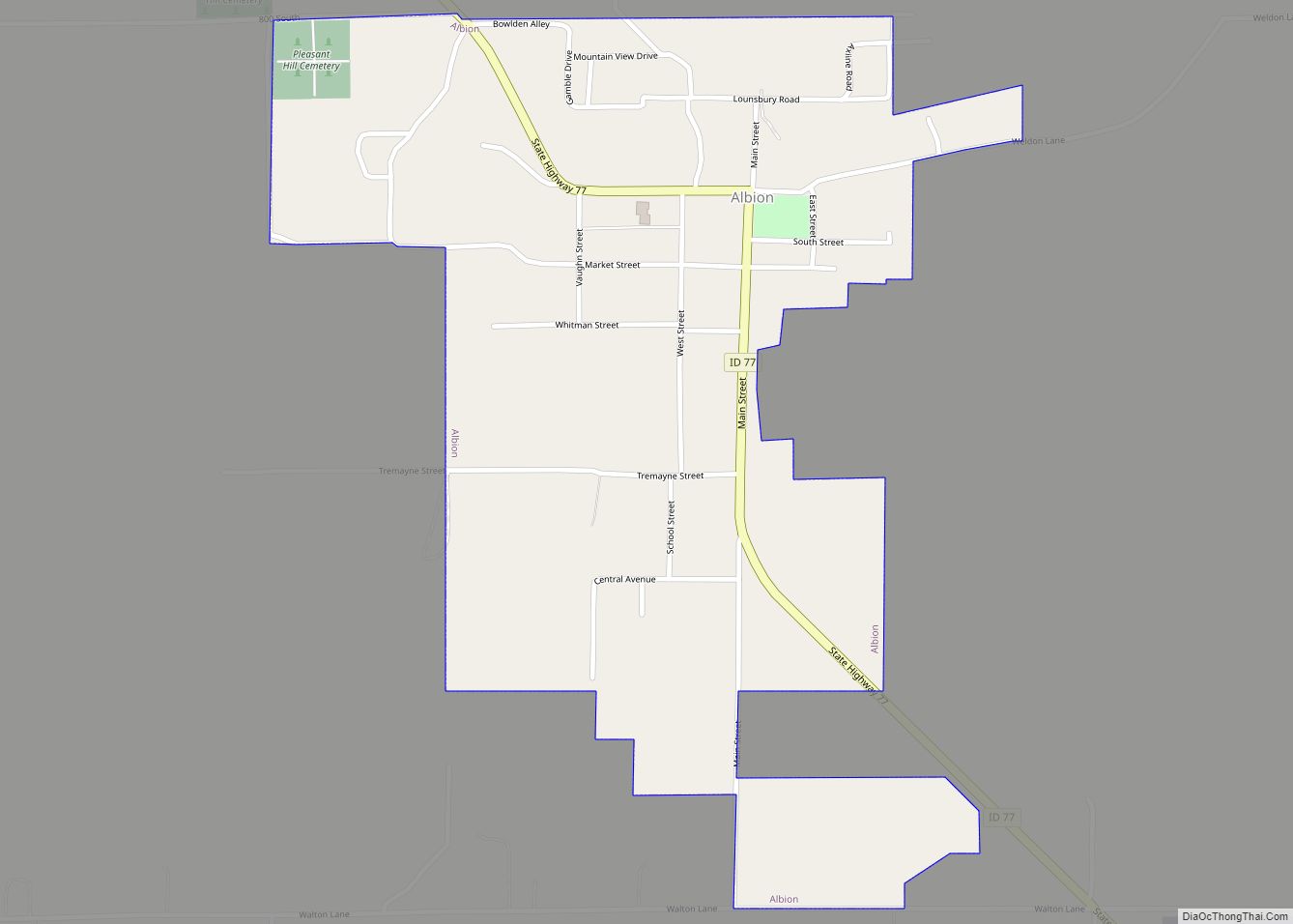
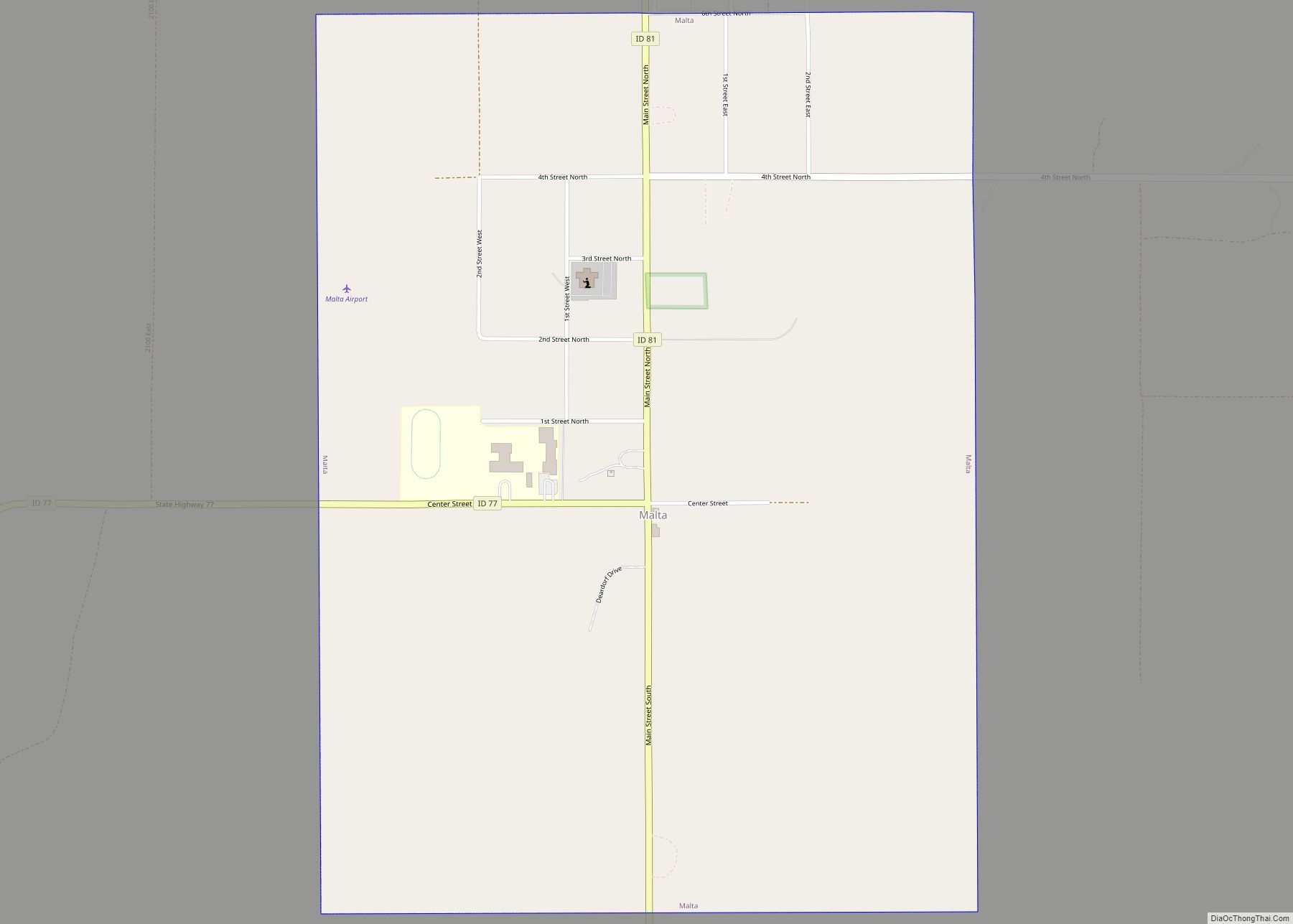
William Oakley settled at the Oakley Meadows station in 1870. Cattle operations also developed starting in 1872. Settlement began at nearby Albion in 1873 with significant Mormon settlement in 1875. By 1880, Albion had a population of 257. Mormon settlement at Oakley also began on June 1, 1878, when four Mormon men each staked out 160 acres for their settlement. Settlements remained primarily agricultural with more than 38,000 head of cattle in the area by 1885. Settlement at Malta occurred prior to 1890, as the Malta precinct had 172 residents at the 1890 census.
Albion State Normal School was established at Albion in 1893. The school was focused on training Idaho teachers until 1951 when its programs were transferred to Idaho State College (now Idaho State University) in Pocatello.
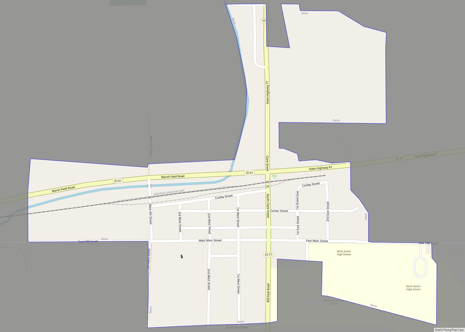
Burley was platted and settled in 1905 after a branch of the Oregon Shortline was constructed through the town. Declo was settled under the name of Marshfield by 1909.
Cassia County was created from Owyhee County on February 20, 1879, with Albion becoming the county seat. A western portion became Twin Falls County in 1907. The county assumed its present boundaries when an eastern portion became Power County on January 30, 1913. The county seat was moved to Burley in 1918. The county was named for Cassia Creek, which in turn was named either for John Cazier, a member of the Mormon Battalion and an emigrant train captain, or for a plant found in the area.
Cassia County Road Map
Geography
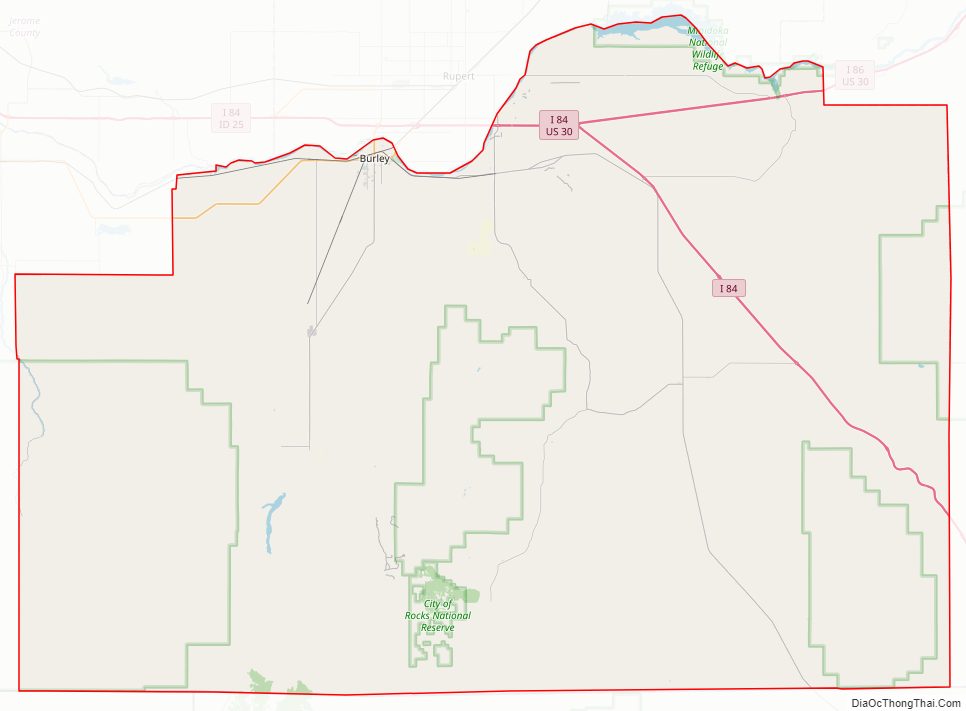
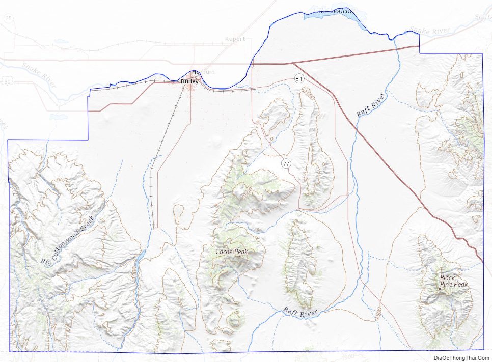
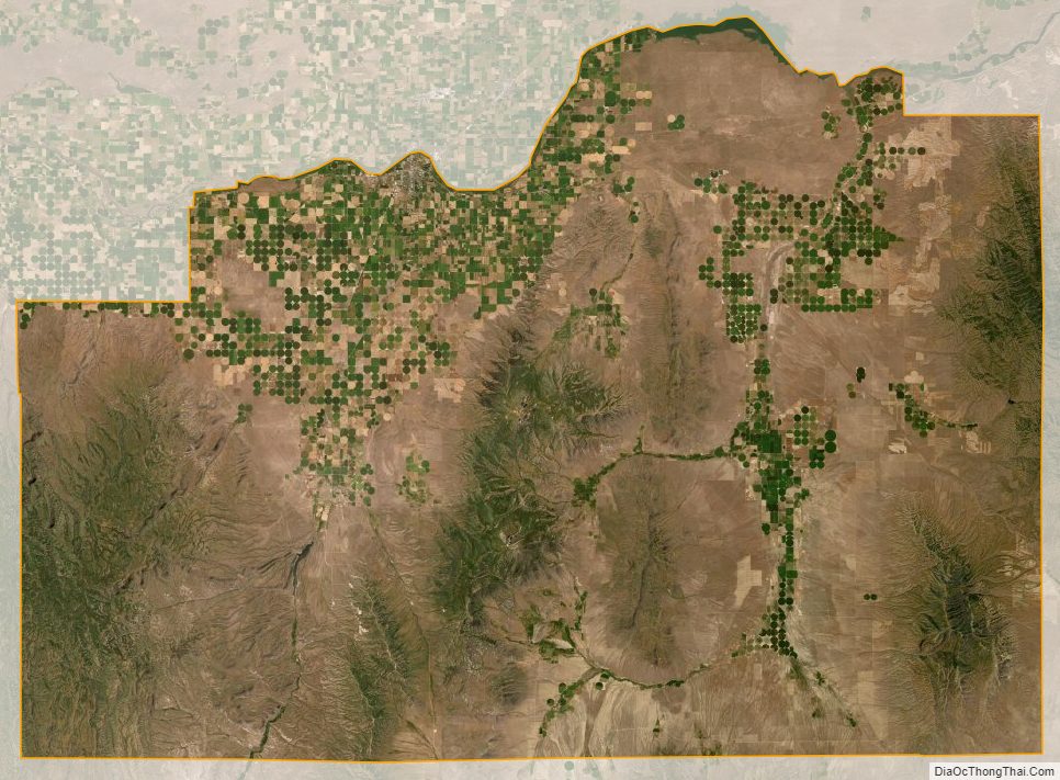
According to the U.S. Census Bureau, the county has a total area of 2,580 square miles (6,700 km), of which 2,565 square miles (6,640 km) is land and 15 square miles (39 km) (0.6%) is water. The county’s highest point is Cache Peak at an elevation of 10,339 feet (3,151 m) above sea level in the Albion Mountains, and the lowest is Milner Lake, a reservoir on the Snake River, at 4,134 feet (1,260 m).
The northern half of the county is part of the Magic Valley region of the Snake River Plain, and numerous mountain ranges extend north from the southern boundary and diminish as they approach the river, which flows from east to west.
The Silent City of Rocks National Reserve, containing exposed granitic batholith as old as 2.5 billion years, is located in the southern part of the county.
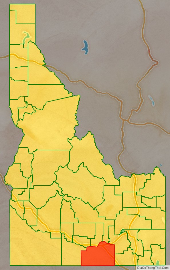
Adjacent Counties
- Minidoka County – north
- Blaine County – north
- Power County – northeast
- Oneida County – east
- Box Elder County, Utah – southeast
- Elko County, Nevada – southwest/Pacific Time Border
- Twin Falls County – west
- Jerome County – northwest
Highways
- Interstate 84
- Interstate 86
- US 30
- SH-27
- SH-77
- SH-81
National protected areas
- City of Rocks National Reserve
- Minidoka National Wildlife Refuge (part)
- Sawtooth National Forest (part)
Cassia County Topographic Map
Cassia County Satellite Map
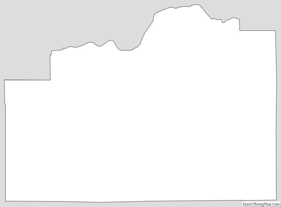
Cassia County Outline Map